© Saalbach Hinterglemm - Gunter Mayer

© Saalbach Hinterglemm - Gunter Mayer
- Brève description
-
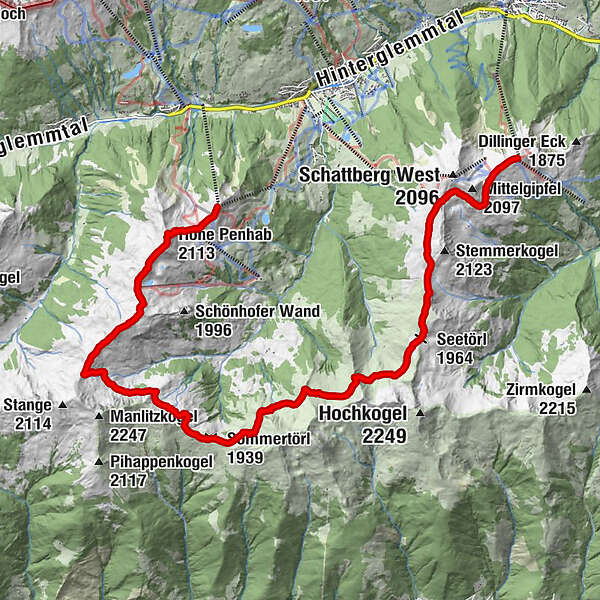
The Panorama Trail is the perfect trail running route in the mountains of Saalbach! This alternative variant avoids the peaks in contrast to the main route of the Panorama Trail.
- Difficulté
-
moyen
- Évaluation
-
- Parcours
-
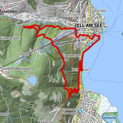
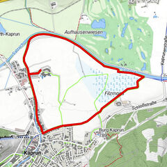
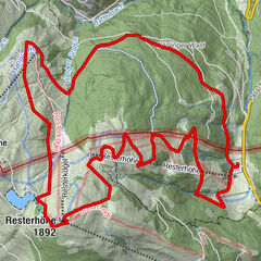
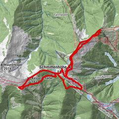
Zwölferkogel (1.984 m)0,0 kmHohe Penhab (2.113 m)1,2 kmSchoenhofer Wand2,9 kmStoffenscharte (2.015 m)4,4 kmSommertörl (1.939 m)7,5 kmSeetörl (1.964 m)12,8 kmSkyRest17,3 kmSchattberg-Ost (2.018 m)17,3 km
- Meilleure saison
-
janv.févr.marsavrilmaijuinjuil.aoûtsept.oct.nov.déc.
- Hauteur maximale
- 2.123 m
- Point de mire
-
Schattberg east summit - Saalbach
- Profil en hauteur
-


-

-
AuteurLa randonnée Panorama Trail - the alternative route est utilisé par outdooractive.com fourni par.
GPS Downloads


Informations générales
Point de rassemblement
Prometteur
Autres parcours dans les régions