
- Brève description
-
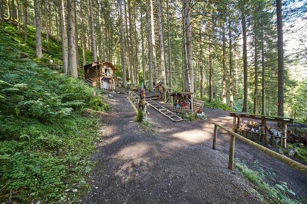
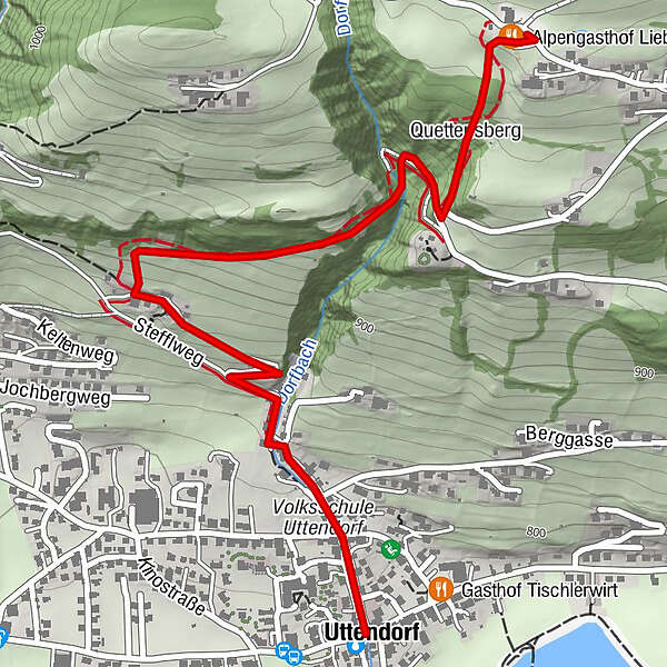
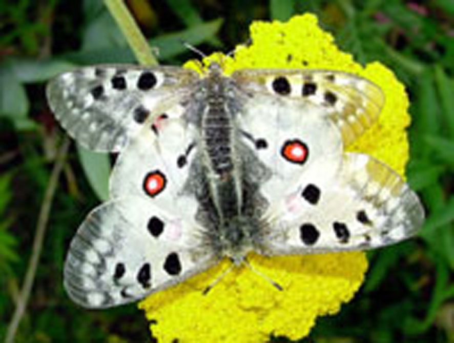
From the town center along Dorfbachstrasse and then following the information boards up the sunny slope of Uttendorf. The boards describe the growth and decay, the life and use of butterflies.
- Parcours
-
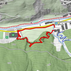
UttendorfQuettensberg2,0 kmAlpengasthof Liebenberg2,3 km
- Hauteur maximale
- 1.070 m
- Point de mire
-
Alpengasthof Liebenberg
- Profil en hauteur
-

-
-
AuteurLa randonnée Uttendorf: Butterfly nature trail est utilisé par outdooractive.com fourni par.
GPS Downloads


Informations générales
Faune
Autres parcours dans les régions