© Tourismusverband Flachau - Flachau Tourismus
© Tourismusverband Flachau - Flachau Tourismus

© Tourismusverband Flachau - Flachau Tourismus
© Tourismusverband Flachau - Flachau Tourismus

© Tourismusverband Flachau - Flachau Tourismus
© Tourismusverband Flachau - Flachau Tourismus
© Tourismusverband Flachau - Flachau Tourismus
© Tourismusverband Flachau - Flachau Tourismus


- Brève description
-
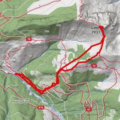
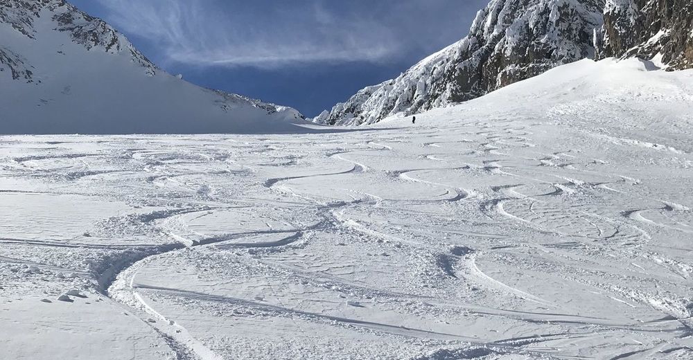
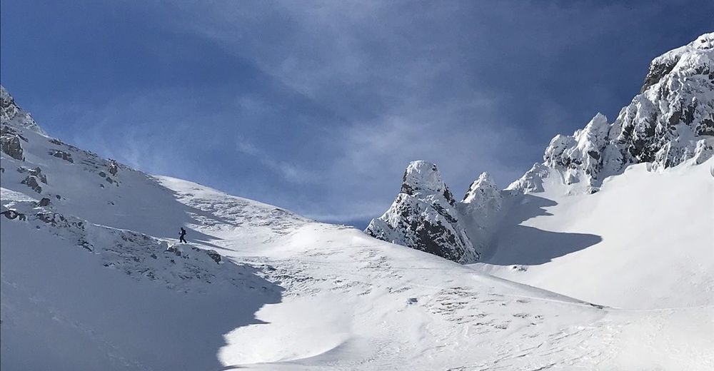
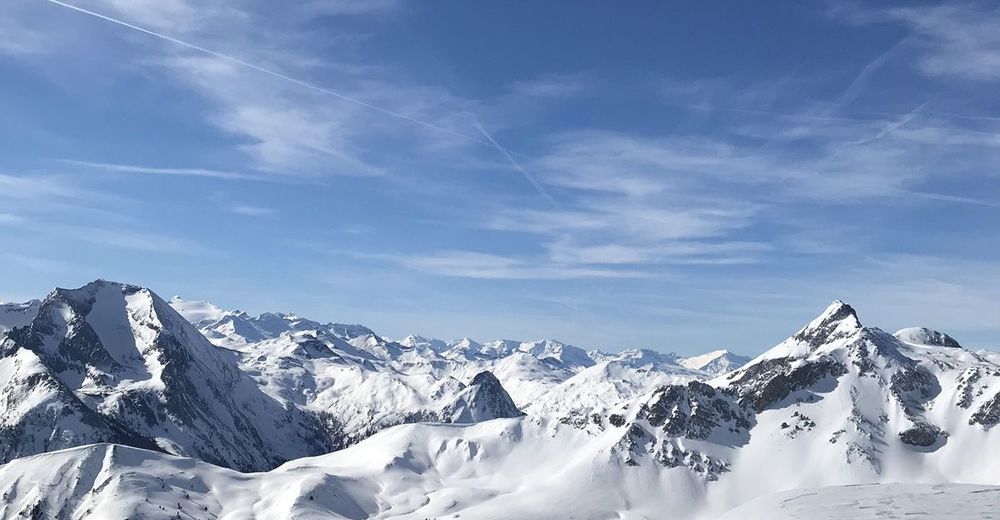
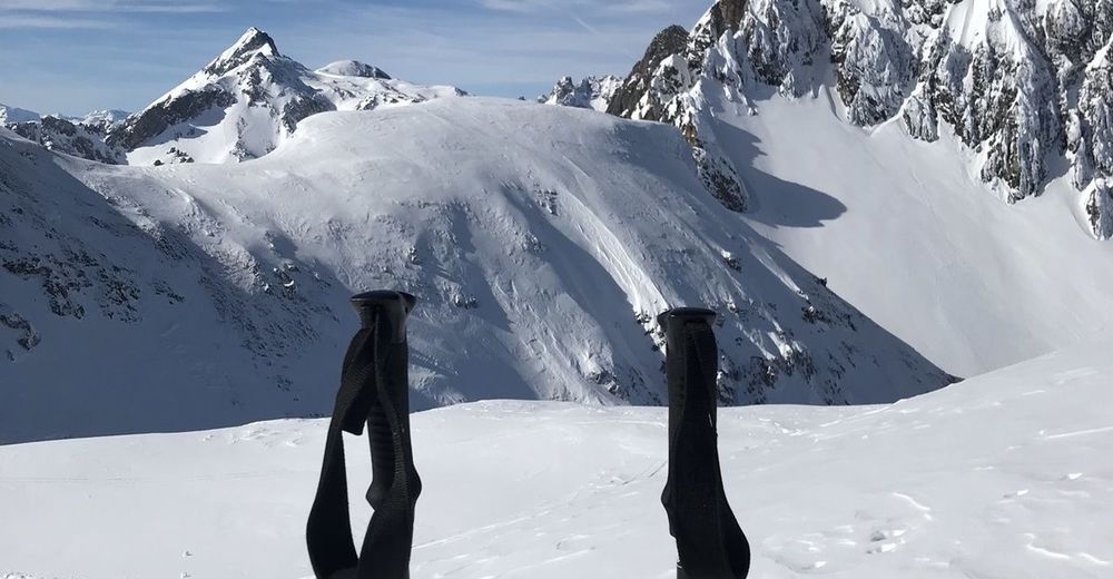
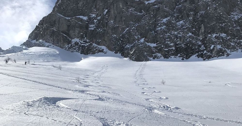
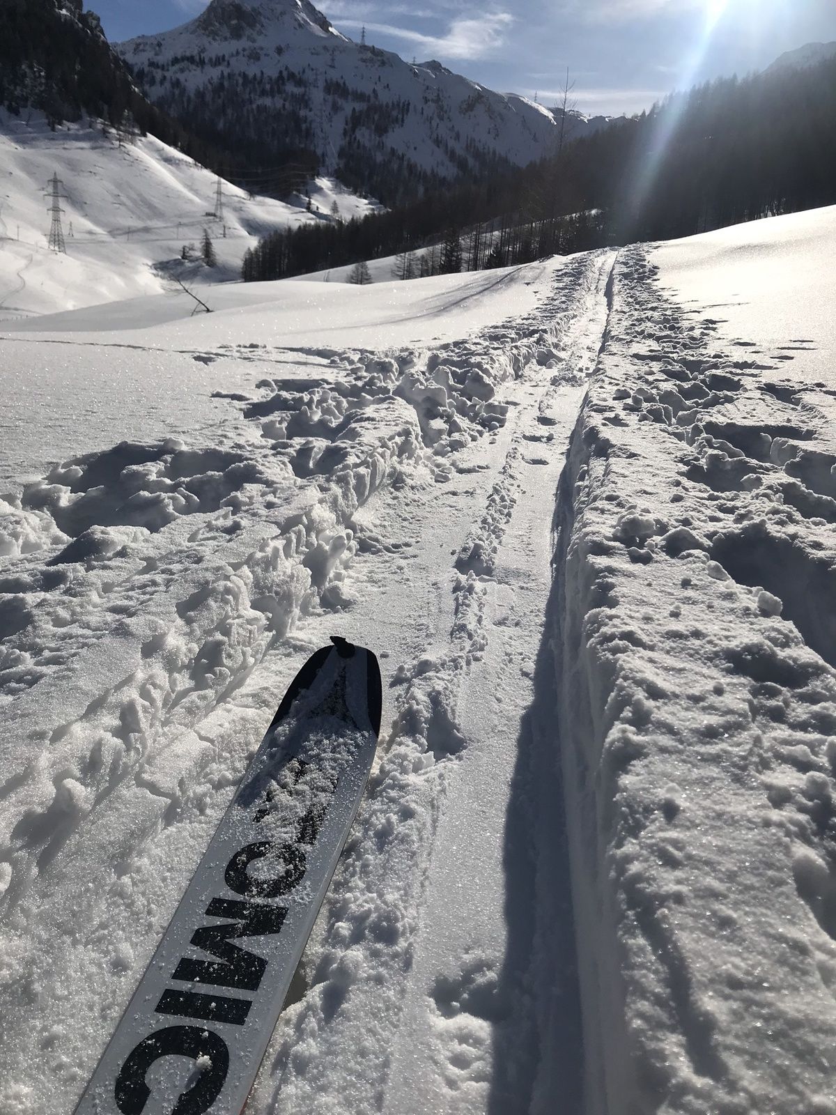
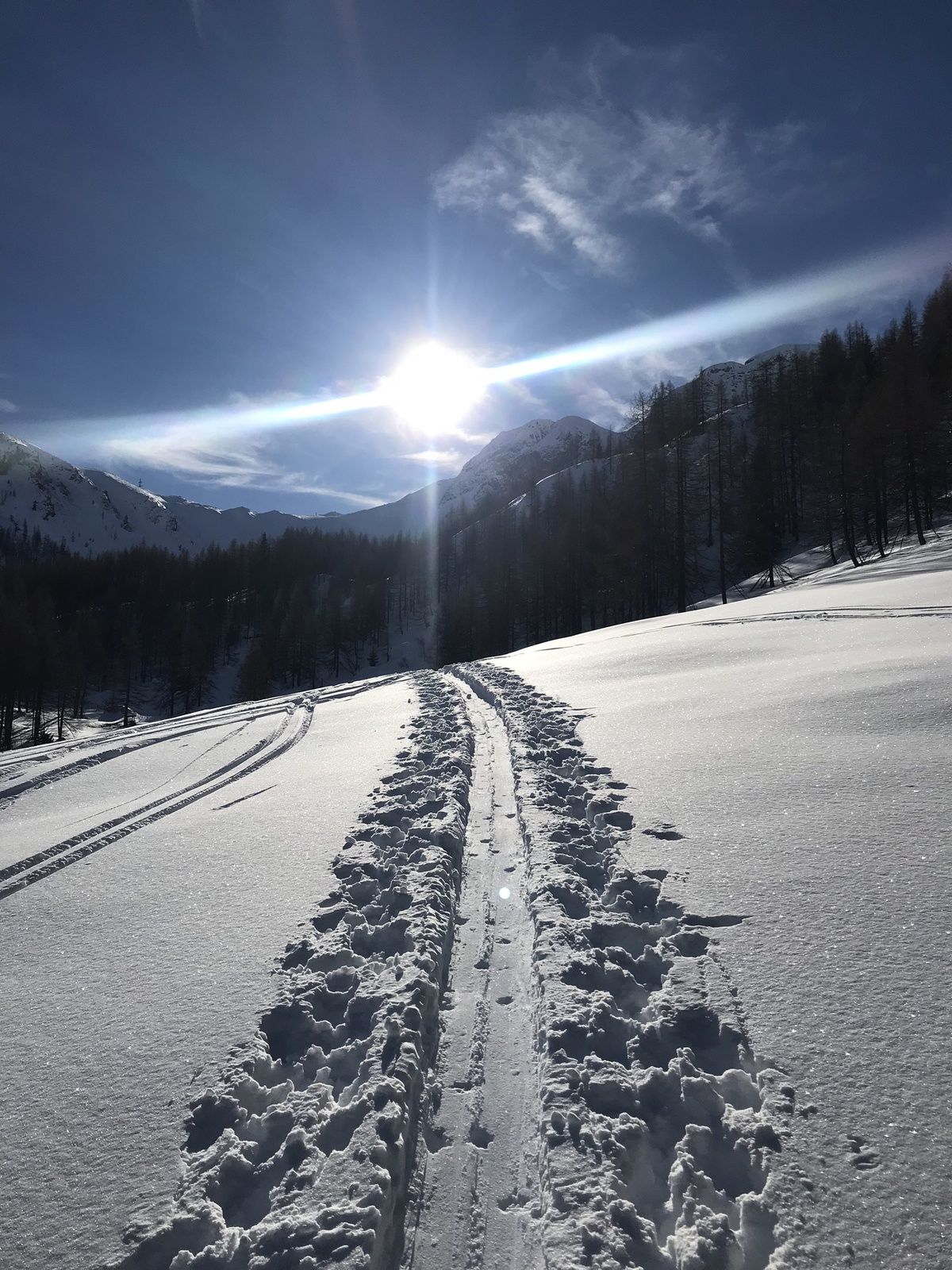
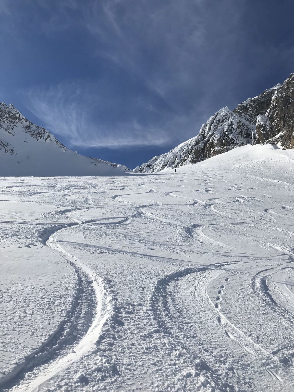
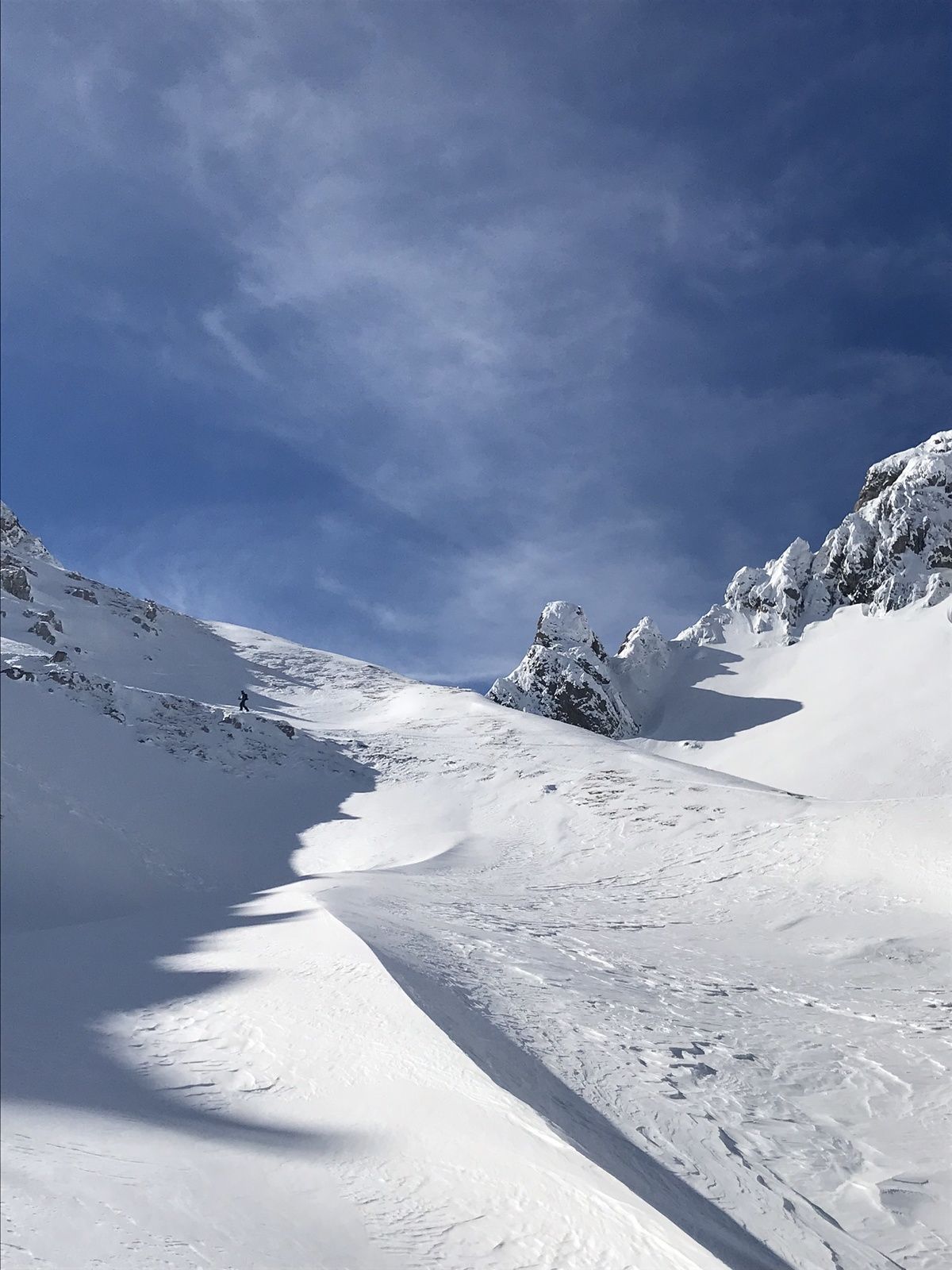
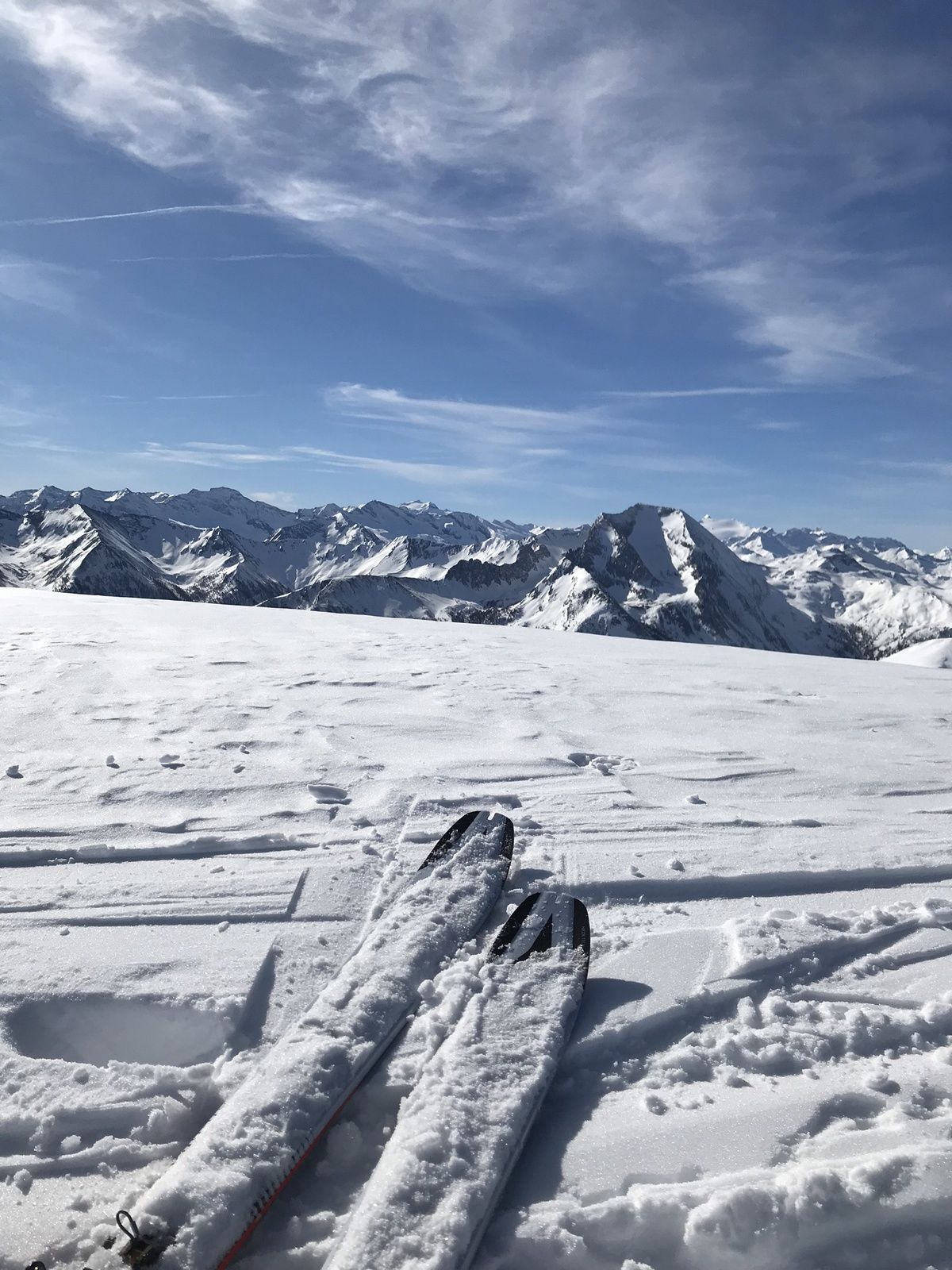
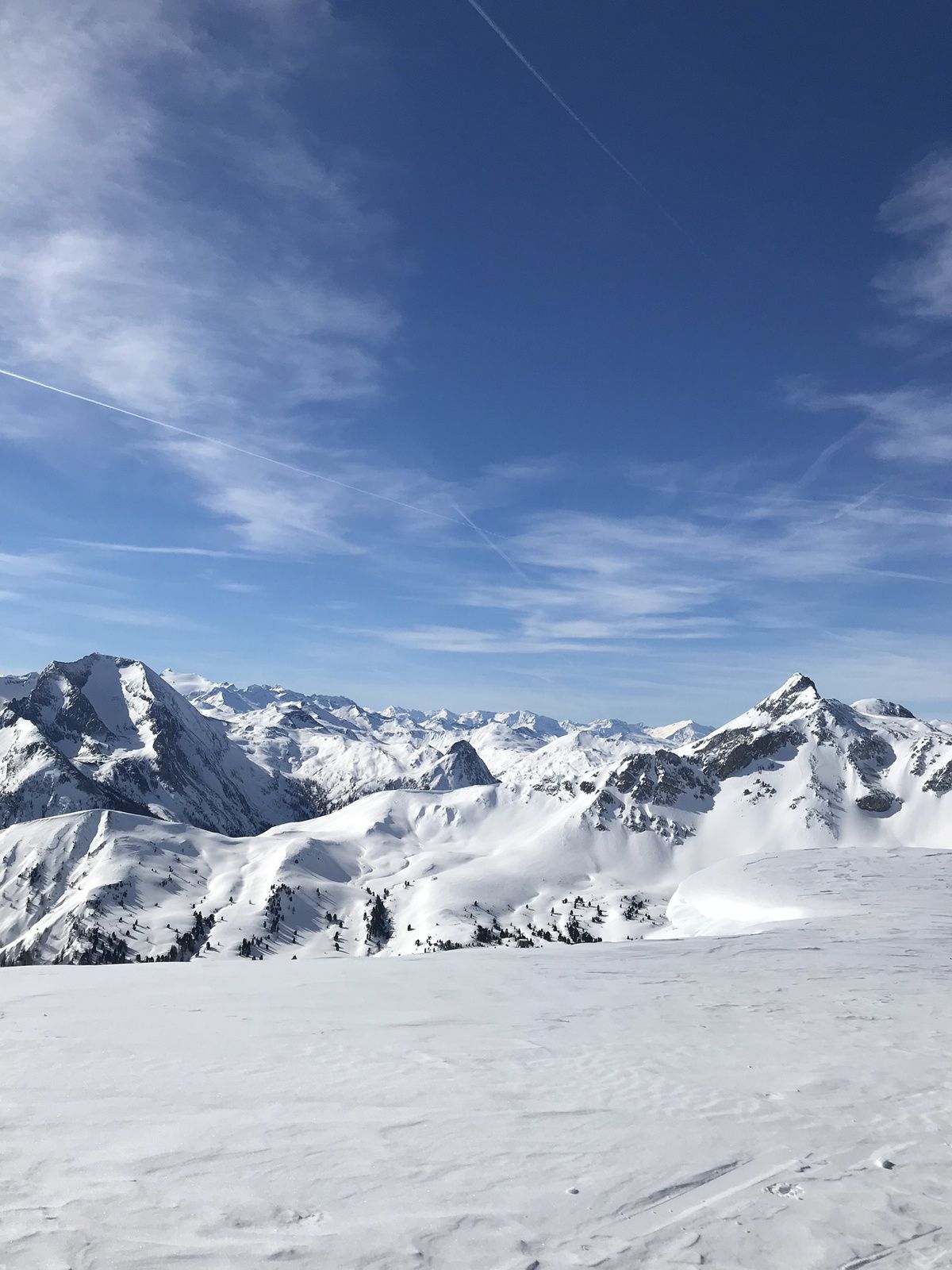
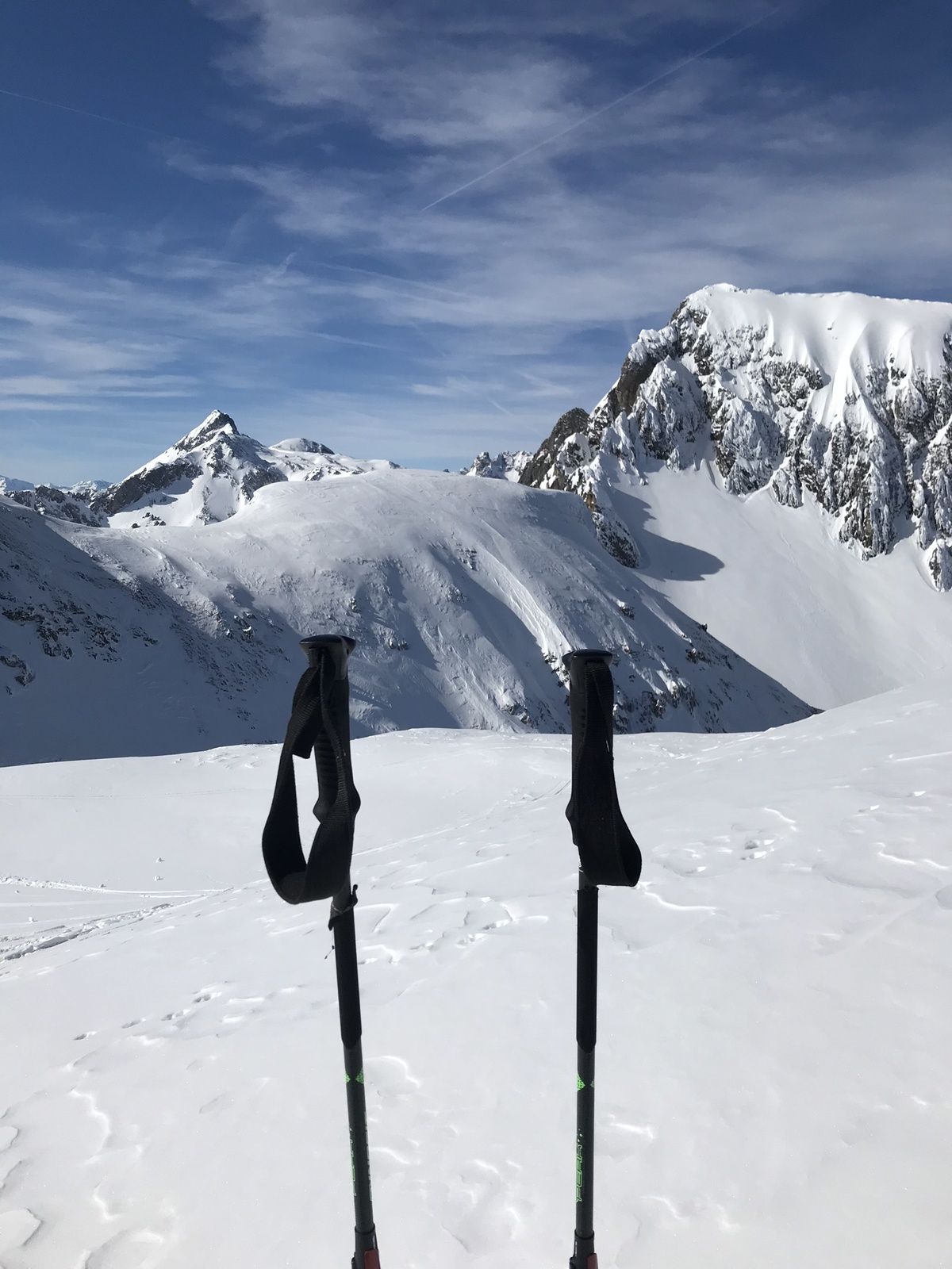
The Taferlnock with its 2,375m is an imposing elevation in the outlet of the Hohe Tauern. This tour requires a good level of fitness and alpine surefootedness.
- Difficulté
-
difficile
- Évaluation
-
- Parcours
-
Taferlnock (2.375 m)6,0 km
- Meilleure saison
-
aoûtsept.oct.nov.déc.janv.févr.marsavrilmaijuinjuil.
- Hauteur maximale
- 2.369 m
- Point de mire
-
Parking Gasthofalm
- Profil en hauteur
-


-

-
AuteurLa randonnée Skitour Taferlnock est utilisé par outdooractive.com fourni par.
GPS Downloads


Informations générales
Prometteur
Autres parcours dans les régions
-
Katschberg Lieser-Maltatal
262
-
Obertauern
154
-
Untertauern
49