Skitouring Taghaube (Taghaubenscharte)

Logo Skitouring Taghaube (Taghaubenscharte)
Dates des itinéraires
2,89km
1.369 - 2.137m
Distance
795hm
Montée
02:30h
 
Durée
Brève description

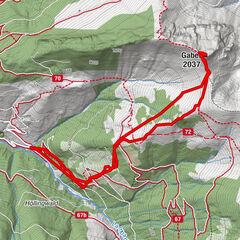
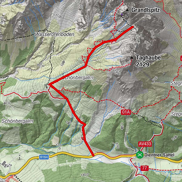
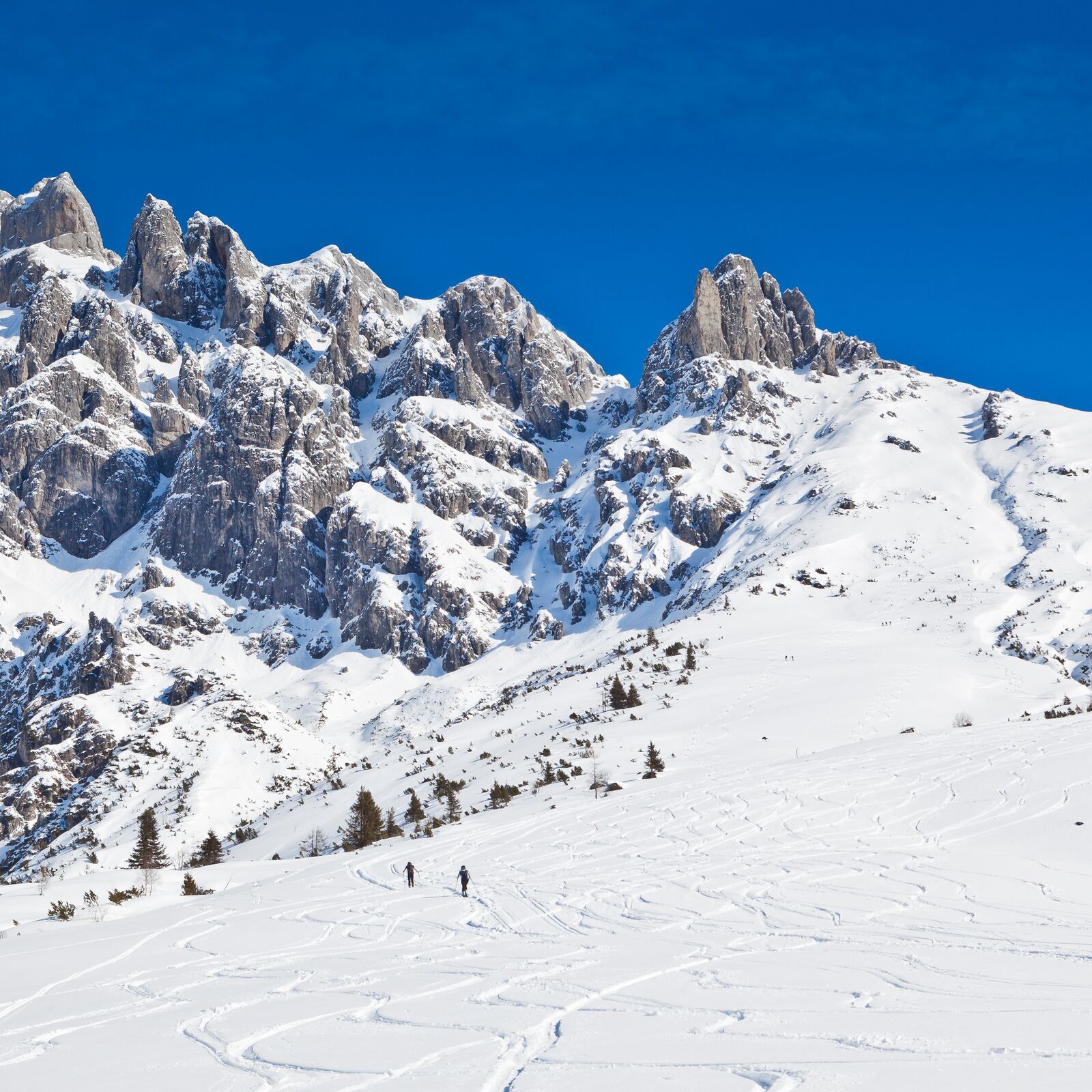
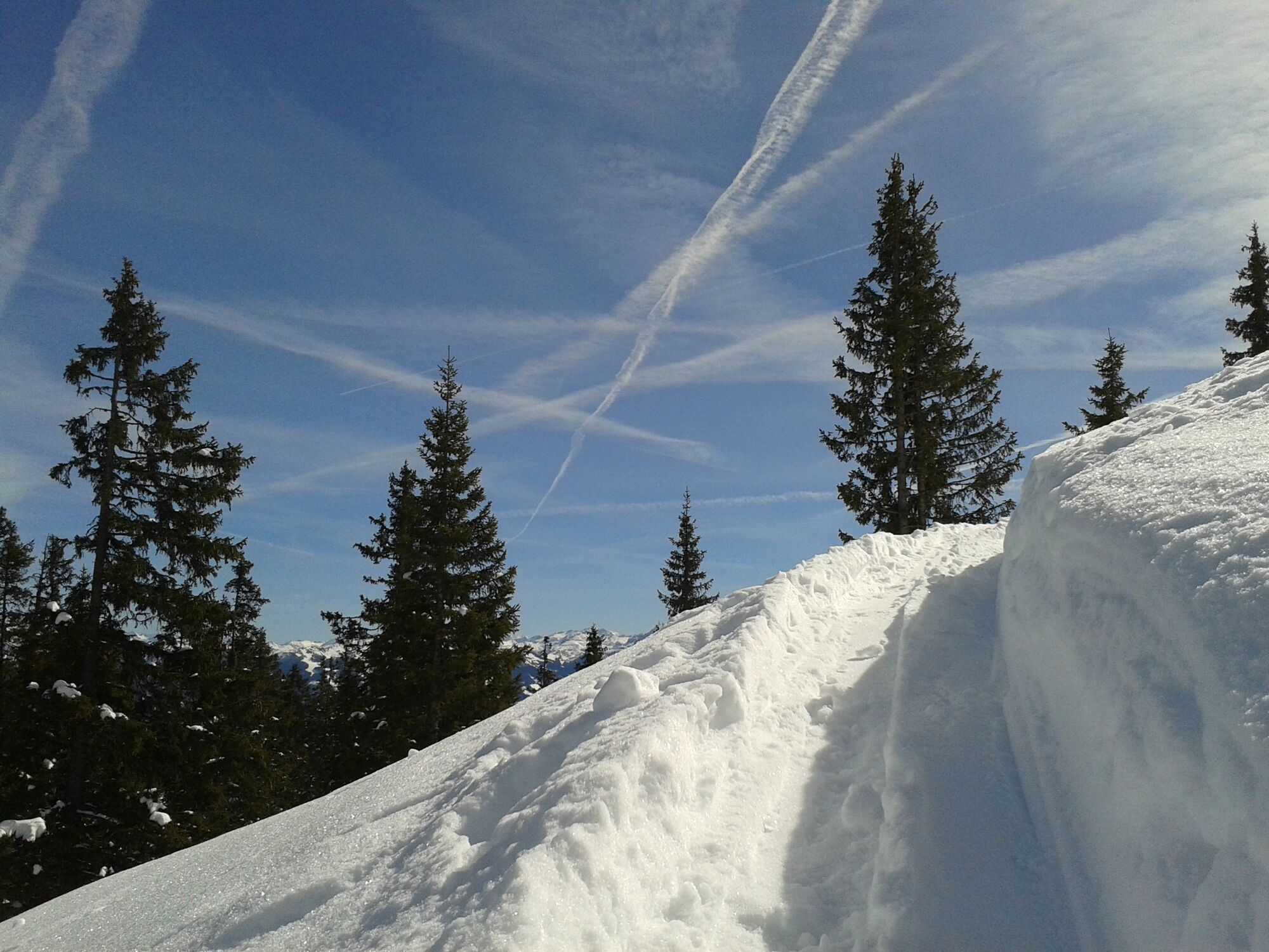
Moderately difficult tour in fantastic landscape. Slowly getting steeper and steeper towards the top, due to the southwest orientation the upper part of the tour is longer in the shade.

Difficulté
moyen
Évaluation
Technique
Endurance
Paysage
Résultat

Meilleure saison
août
sept.
oct.
nov.
déc.
janv.
févr.
mars
avril
mai
juin
juil.
Hauteur maximale
2.137 m
Point de mire

Cleft between Grandlspitz and Taghaube

Exposition
Profil en hauteur

Auteur
La randonnée Skitouring Taghaube (Taghaubenscharte) est utilisé par outdooractive.com fourni par.

4,0
Évaluation globale

5

0

%

4

100

%

3

0

%

2

0

%

1

0

%

GPS Downloads
  • GPX GPS Exchange Format (XML)
  • KML Google Earth, Google Maps
Codes de téléchargement QR pour les téléphones portables
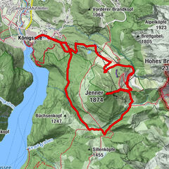
Autres parcours dans les régions

Randonnées populaires dans la région

Grossarl: Gründegg (2,168 m)

moyen Ski de randonnée
5,63km | 836hm | 03:30h

Jenner Skitour über Hochbahn

moyen Ski de randonnée
14,55km | 1200hm | 04:30h

Randonnée à ski vers le Klingspitz

moyen Ski de randonnée
5,09km | 873hm | 05:00h

Grossarl: Kitzstein (Gabel) (2,037 m)

moyen Ski de randonnée
6,38km | 797hm | 03:30h