- Brève description
-
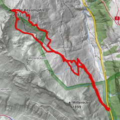
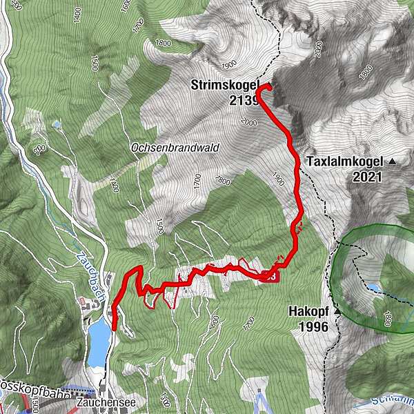
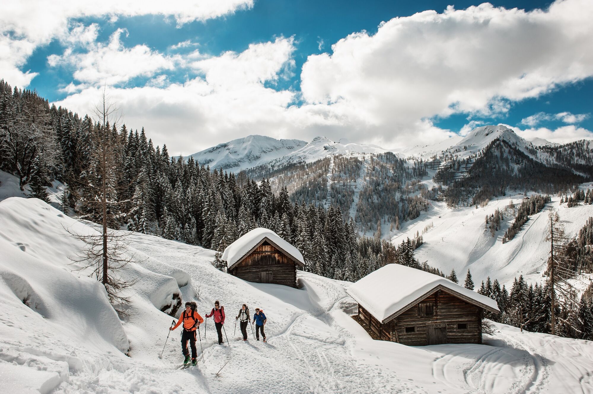
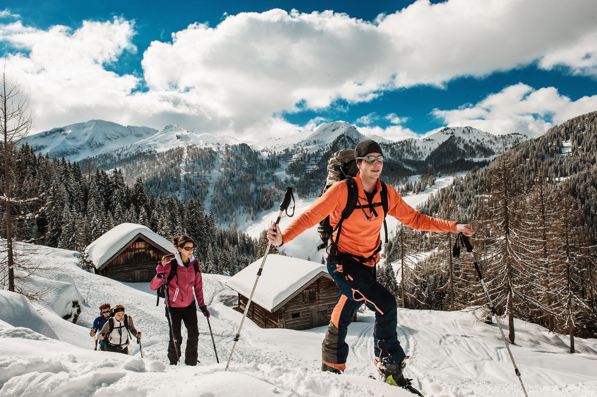
The tour follows a long stretch of the mountain ridge between Untertauern and Zauchensee and therefore guarantees impressive views in all directions. From Zauchensee (1339 m) in numerous curves up over the Strimsalmen to the Strimskogel (2139 m).
- Difficulté
-
moyen
- Évaluation
-
- Parcours
-
Strimsalmen0,9 kmStrimskogel (2.139 m)3,0 km
- Meilleure saison
-
aoûtsept.oct.nov.déc.janv.févr.marsavrilmaijuinjuil.
- Hauteur maximale
- 2.122 m
- Point de mire
-
Strimskogel
- Profil en hauteur
-

-

-
AuteurLa randonnée Ski tour Strimskogel Zauchensee est utilisé par outdooractive.com fourni par.
GPS Downloads


Autres parcours dans les régions
-
Katschberg Lieser-Maltatal
268
-
Obertauern
155
-
Untertauern
49