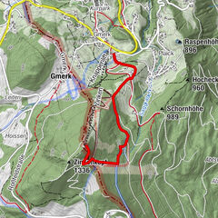
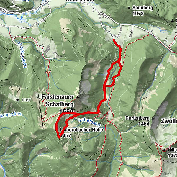
Ski tour learning trail to the top of Loibersbacher Höhe 1456m

Ski de randonnée


© Fuschlseeregion - Tourismusverband Fuschlseeregion
- Brève description
-
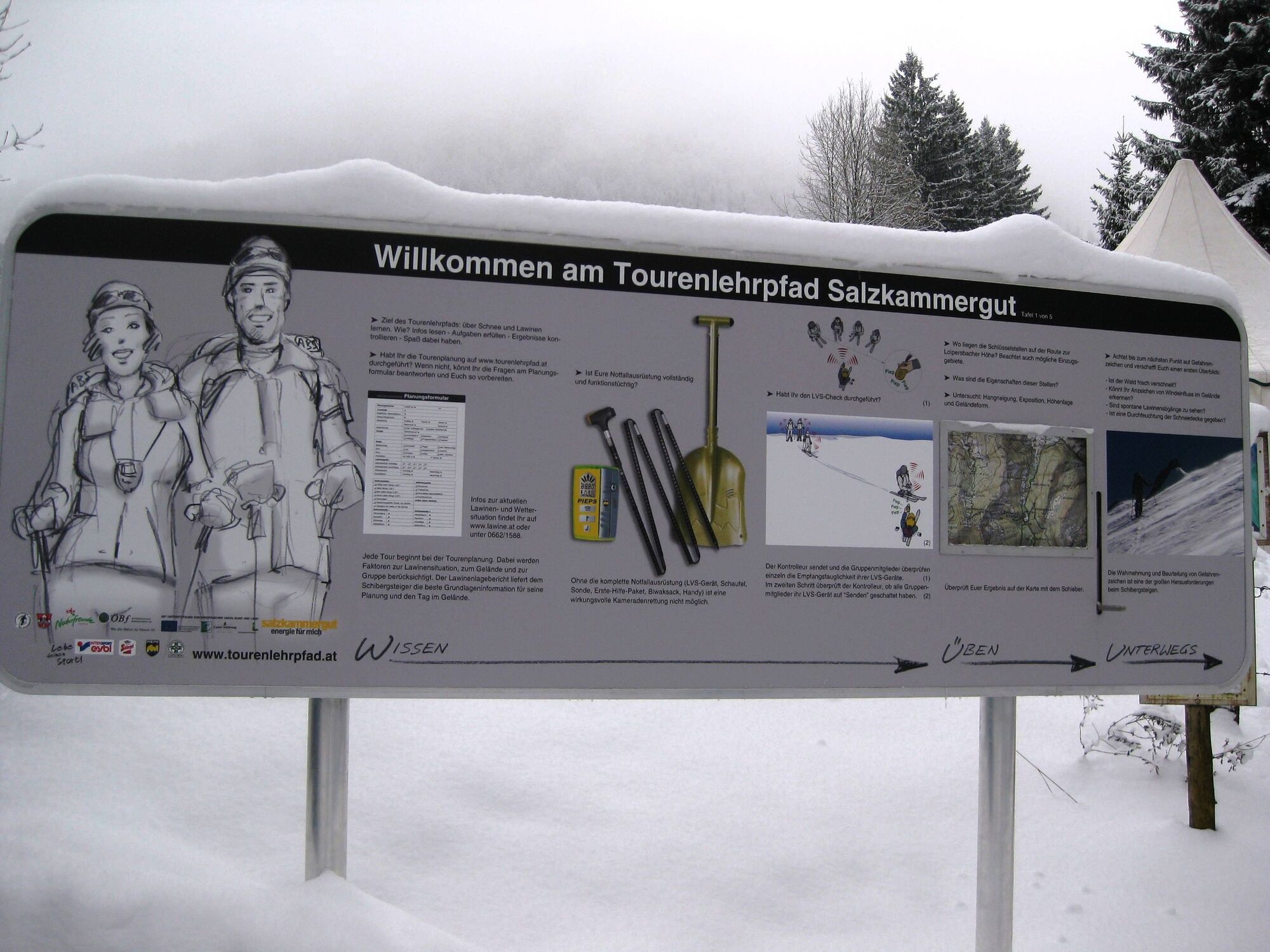
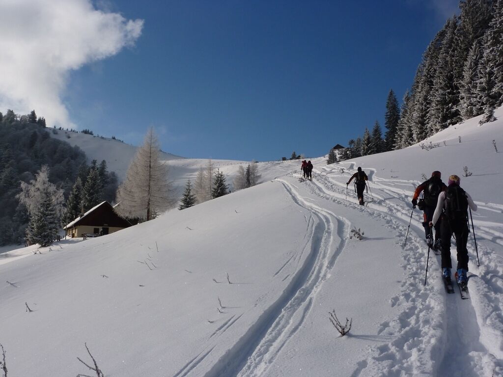
A nice and easy beginner ski touring trail to the top of Loibersbacherhöhe at Faistenau has a couple of information signs and is, with a guide, the perfect starting tour for skitouring beginners who want to explore the nature.
- Difficulté
-
moyen
- Évaluation
-
- Parcours
-
Oberwiesalm3,5 kmLanznhütte3,8 kmDöllererhütte3,8 kmLoibersbacher Höhe (1.457 m)4,1 kmSchafbergalm5,3 kmSchlittnhittn7,0 km
- Meilleure saison
-
aoûtsept.oct.nov.déc.janv.févr.marsavrilmaijuinjuil.
- Hauteur maximale
- 1.455 m
- Point de mire
-
Parkplatz (gebührenpflichtig) beim Mitterholz (Keflau) im Ortsteil Tiefbrunnau, Faistenau
- Exposition
- Profil en hauteur
-

-

-
AuteurLa randonnée Ski tour learning trail to the top of Loibersbacher Höhe 1456m est utilisé par outdooractive.com fourni par.
GPS Downloads


Autres parcours dans les régions