


- Brève description
-
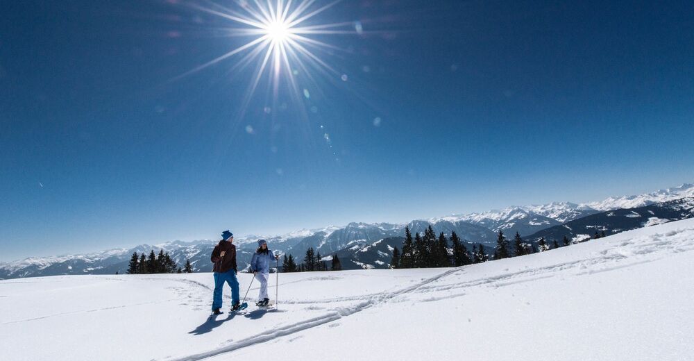
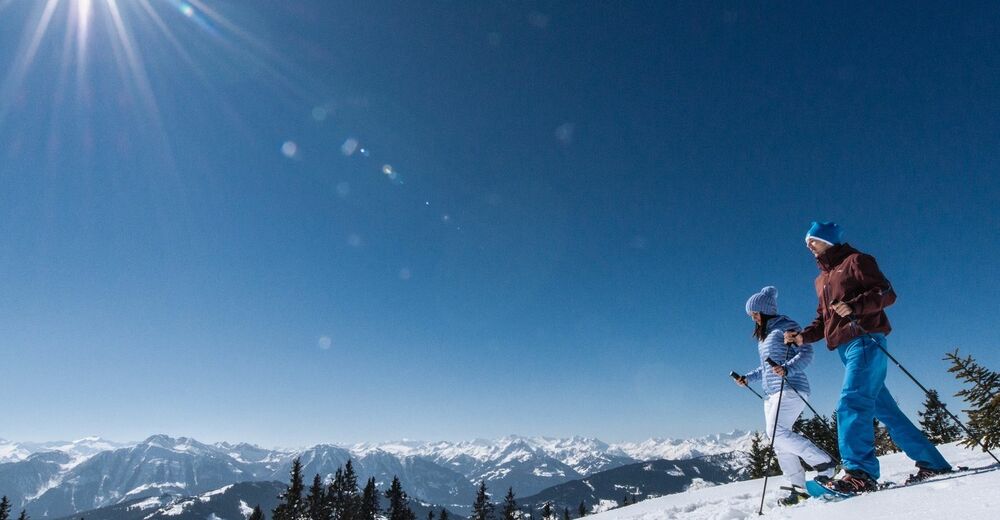
Admire nature, breathe clear winter air and enjoy the silence - our snowshoe trails in the Hochkönig region take you into a magical world of snow and ice!
- Difficulté
-
moyen
- Évaluation
-
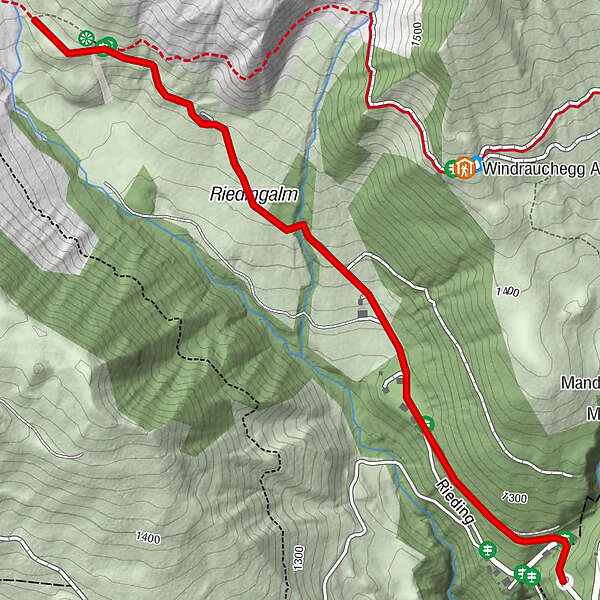
- Parcours
-
Riedingalm1,4 km
- Meilleure saison
-
aoûtsept.oct.nov.déc.janv.févr.marsavrilmaijuinjuil.
- Hauteur maximale
- 1.386 m
- Point de mire
-
Riedingtal
- Profil en hauteur
-


- Auteur
-
La randonnée Snowshoe walking Rieding est utilisé par outdooractive.com fourni par.
GPS Downloads


Informations générales
Prometteur
Autres parcours dans les régions


