

© Hochkönig - Corina Kruselburger

© Hochkönig - Corina Kruselburger

© Hochkönig - Corina Kruselburger

© Hochkönig - Corina Kruselburger

© Hochkönig - Corina Kruselburger

© Hochkönig - Corina Kruselburger

© Hochkönig - Corina Kruselburger

© Hochkönig - Corina Kruselburger

© Hochkönig - Corina Kruselburger

© Hochkönig - Petra Kleineisen

- Brève description
-
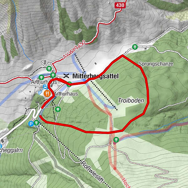
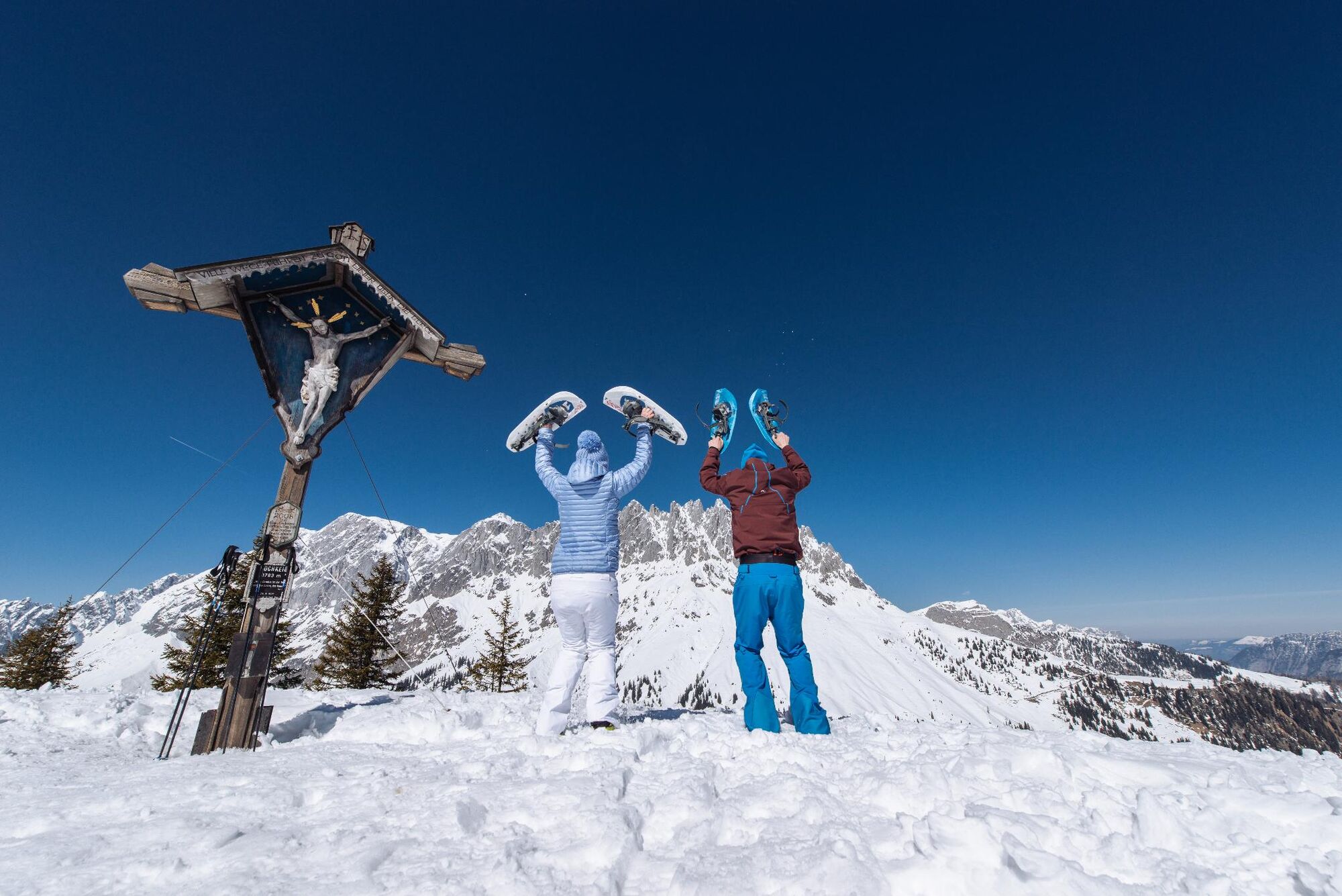
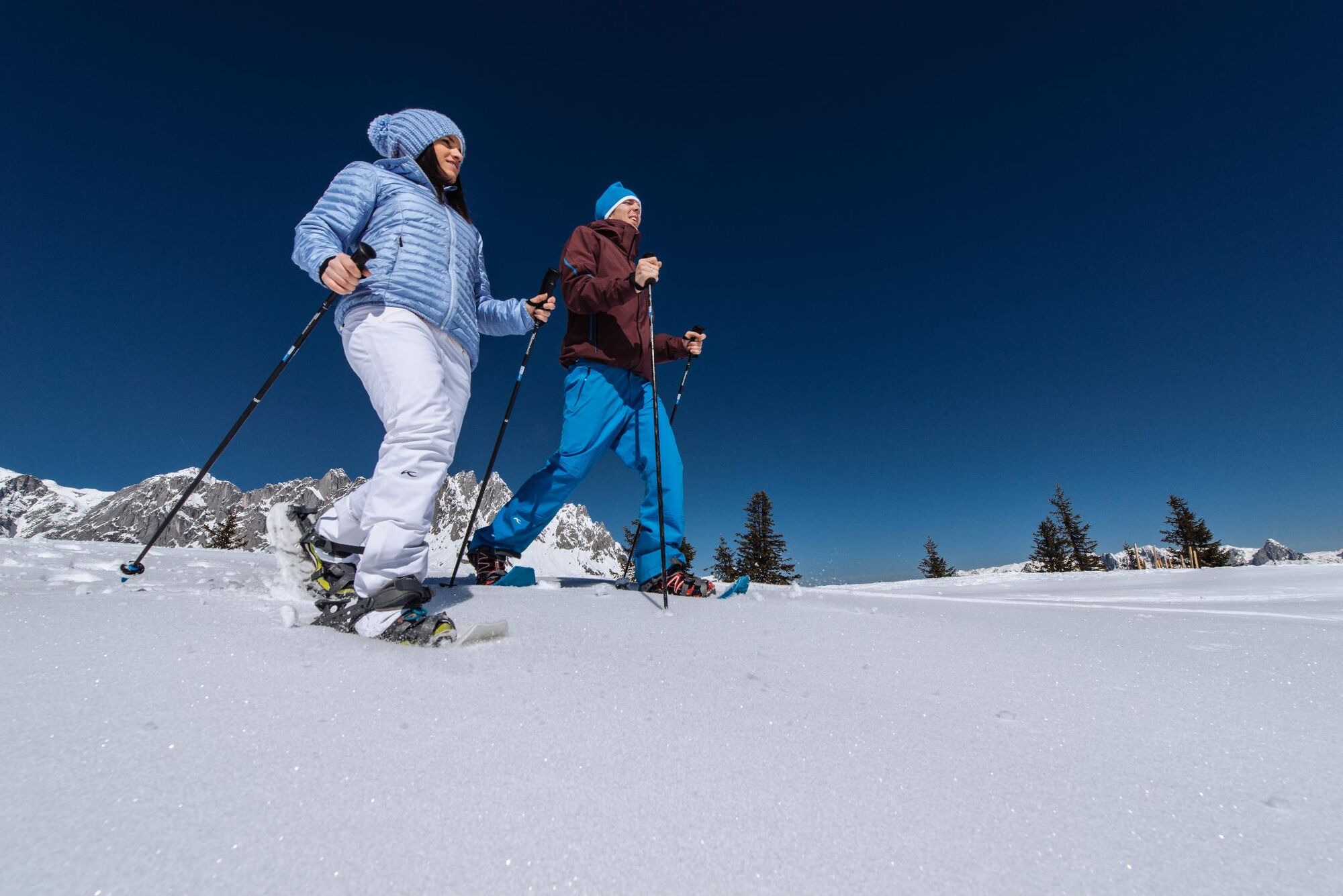
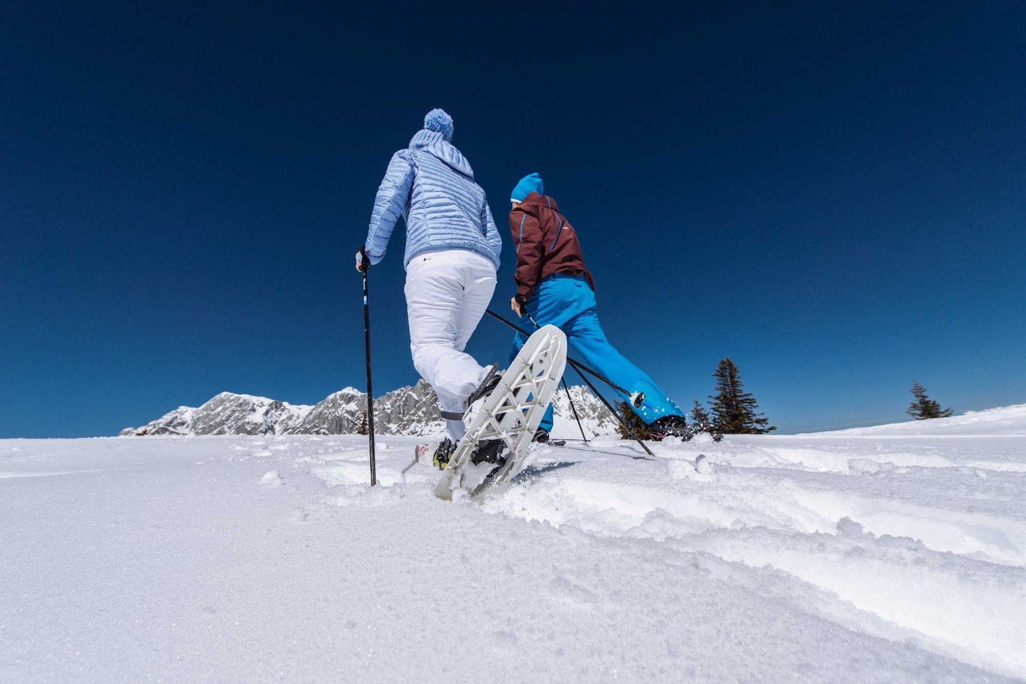
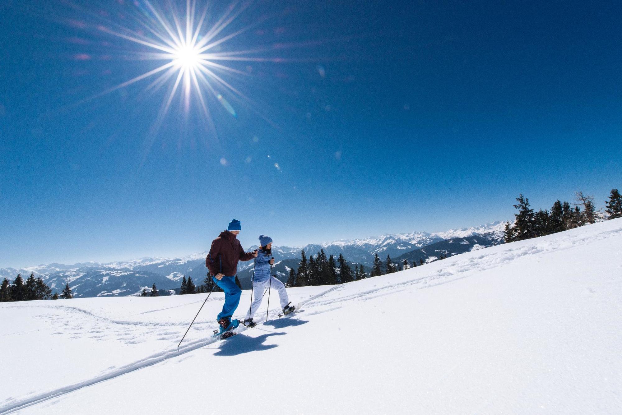
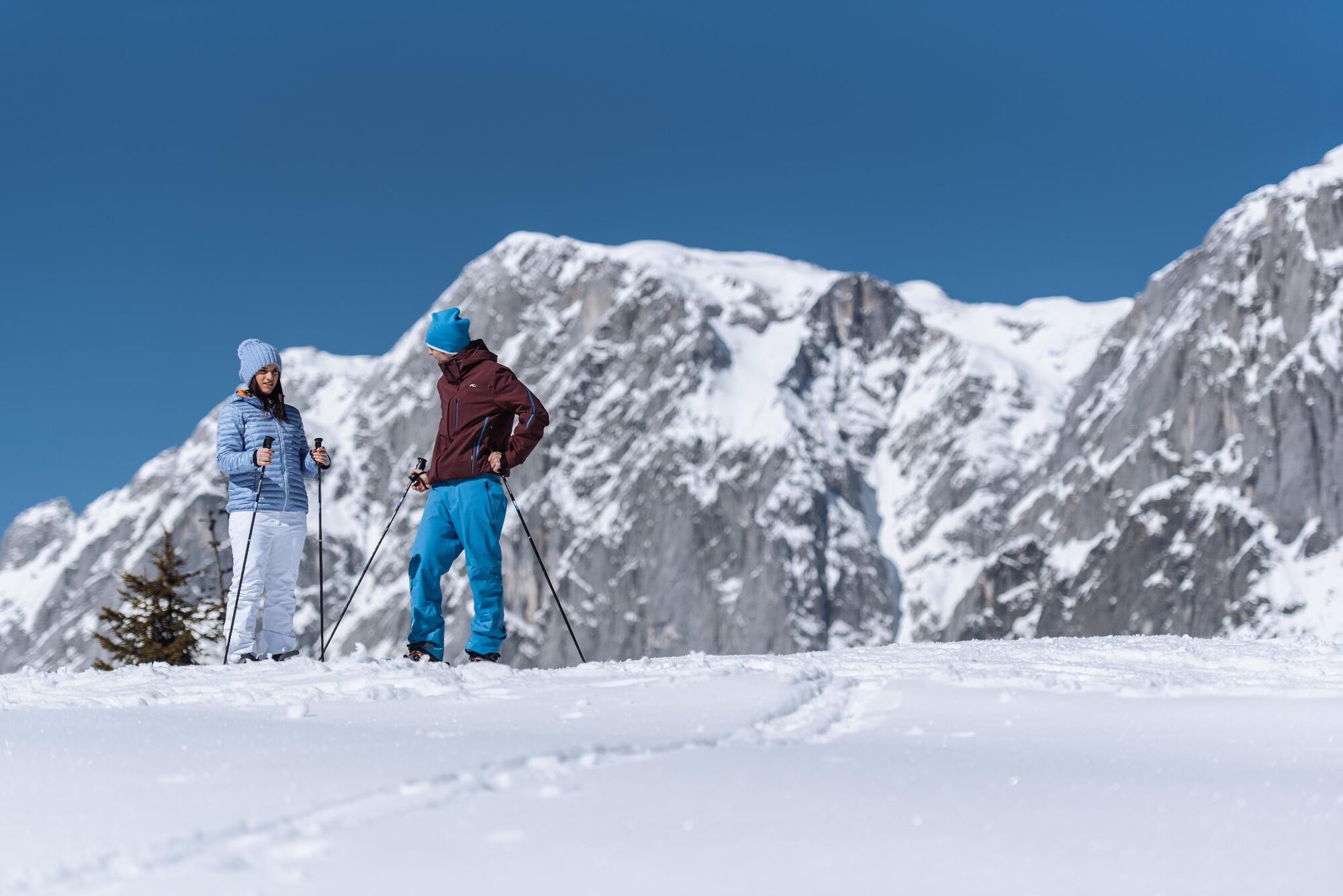
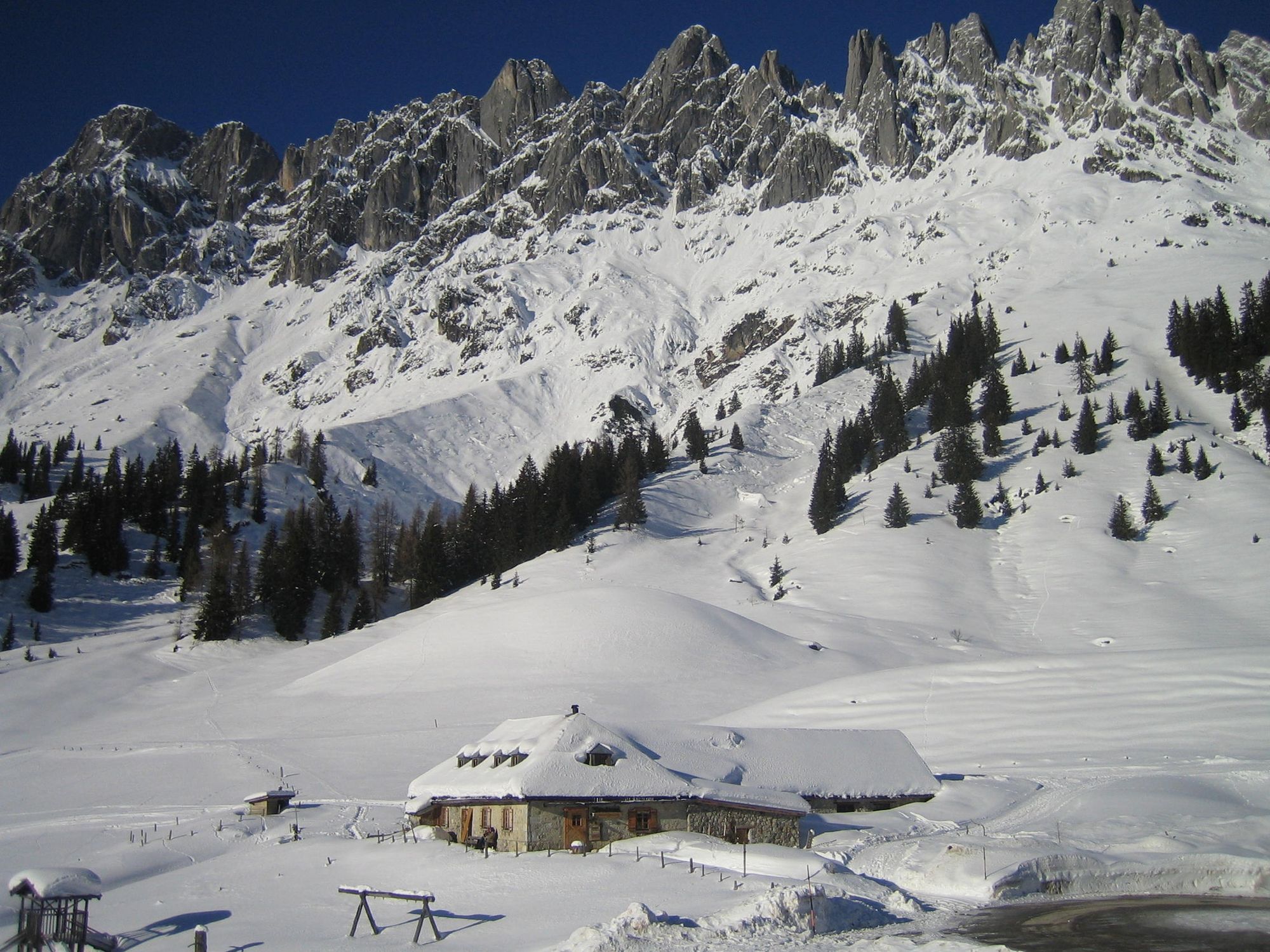
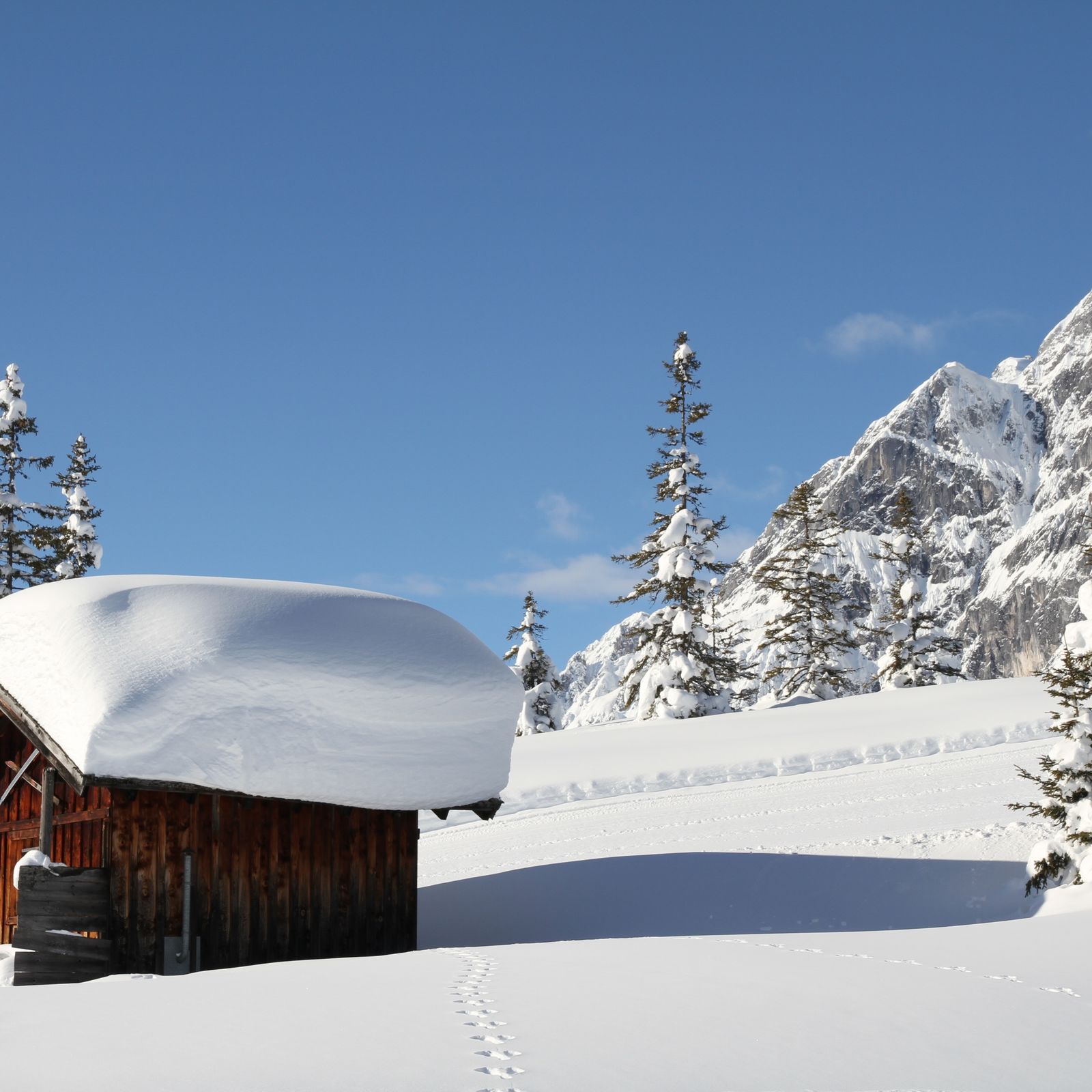
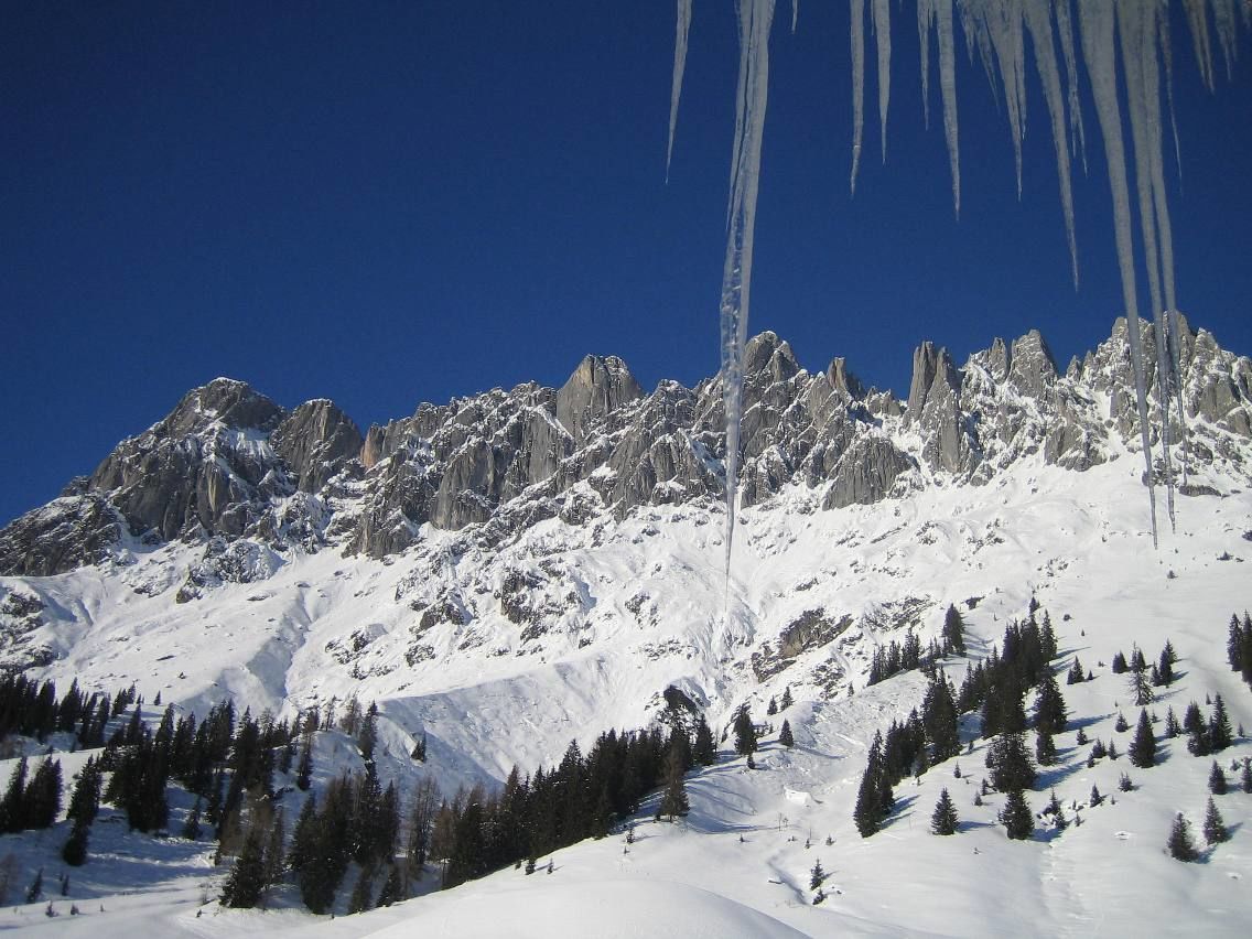
Enjoy the nature, breathe in clear mountain air and enjoy silence - our snowshoe trails in the Hochkönig region lead you into a magical world of snow and ice!
- Difficulté
-
moyen
- Évaluation
-
- Parcours
-
Mitterbergsattel (1.515 m)1,5 kmArthurhaus2,0 km
- Meilleure saison
-
aoûtsept.oct.nov.déc.janv.févr.marsavrilmaijuinjuil.
- Hauteur maximale
- 1.585 m
- Point de mire
-
Parking place Arthurhaus
- Profil en hauteur
-


- Auteur
-
La randonnée Snowshoe walking Hochkeil est utilisé par outdooractive.com fourni par.
GPS Downloads


Informations générales
Point de rassemblement
Prometteur
Autres parcours dans les régions


