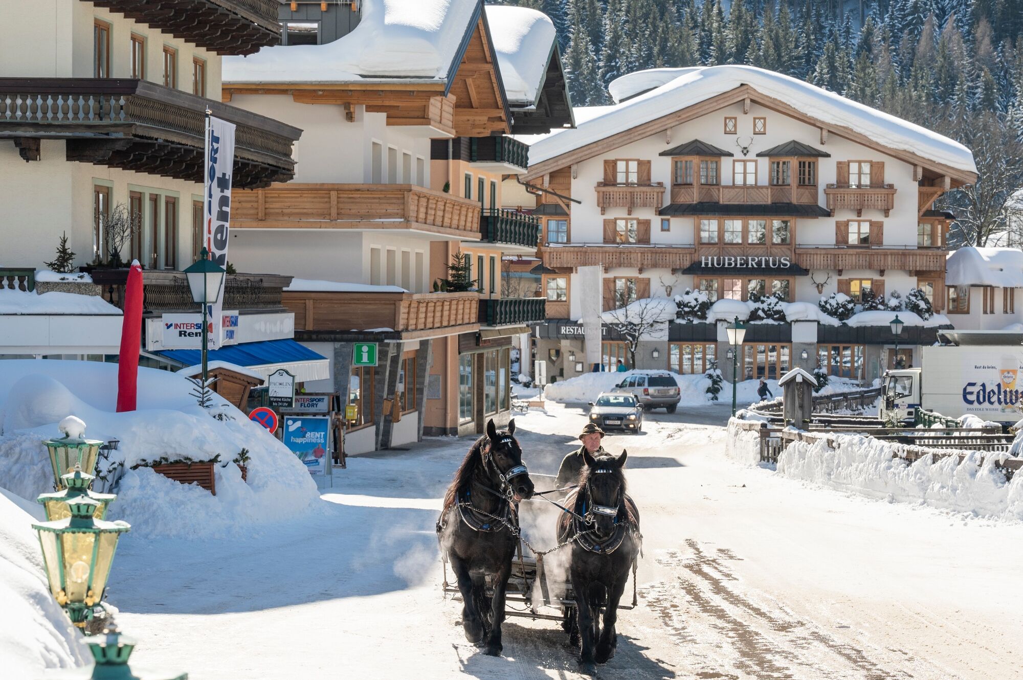
© Filzmoos Tourismus - Lorenz Masser

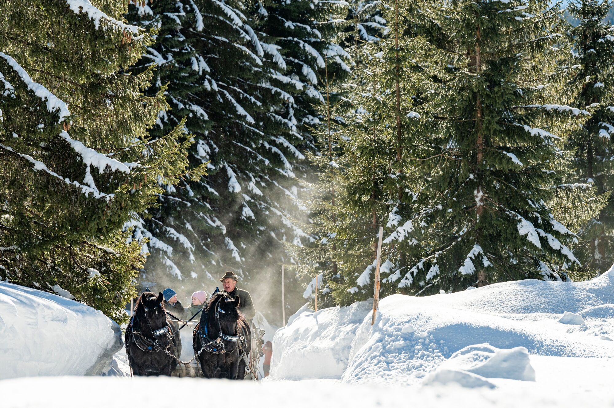
© Filzmoos Tourismus - Lorenz Masser

- Brève description
-
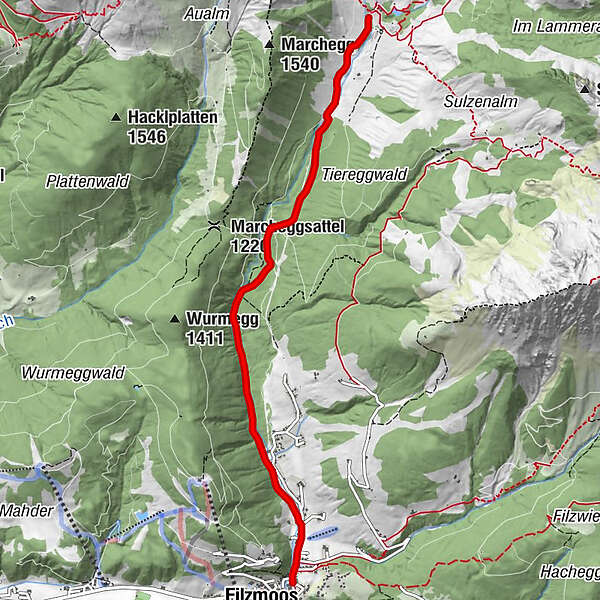
From the beginning of December until the end of March pedestrian zone and only for horse sleighs and local taxis driveable. Beautiful, idyllic route with a magnificent view to the Bischofsmütze. On the road towards Hinterwinkl, through the toll station, along the warm Mandling, predominantly through forest, moderately rising to the turnoff Oberhof- and Unterhofalm.
- Évaluation
-
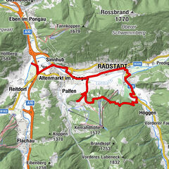
- Parcours
-
Filzmoos
- Meilleure saison
-
janv.févr.marsavrilmaijuinjuil.aoûtsept.oct.nov.déc.
- Hauteur maximale
- 1.269 m
- Point de mire
-
Unterhofalm
- Profil en hauteur
-

- Auteur
-
La randonnée Horse-drawn carriage ride to the Unterhofalm est utilisé par outdooractive.com fourni par.
GPS Downloads


Informations générales
Point de rassemblement
Prometteur
Autres parcours dans les régions