© © Matthias Stiel. - © Matthias Stiel.

© © Matthias Stiel. - Matthias Stiel
- Brève description
-
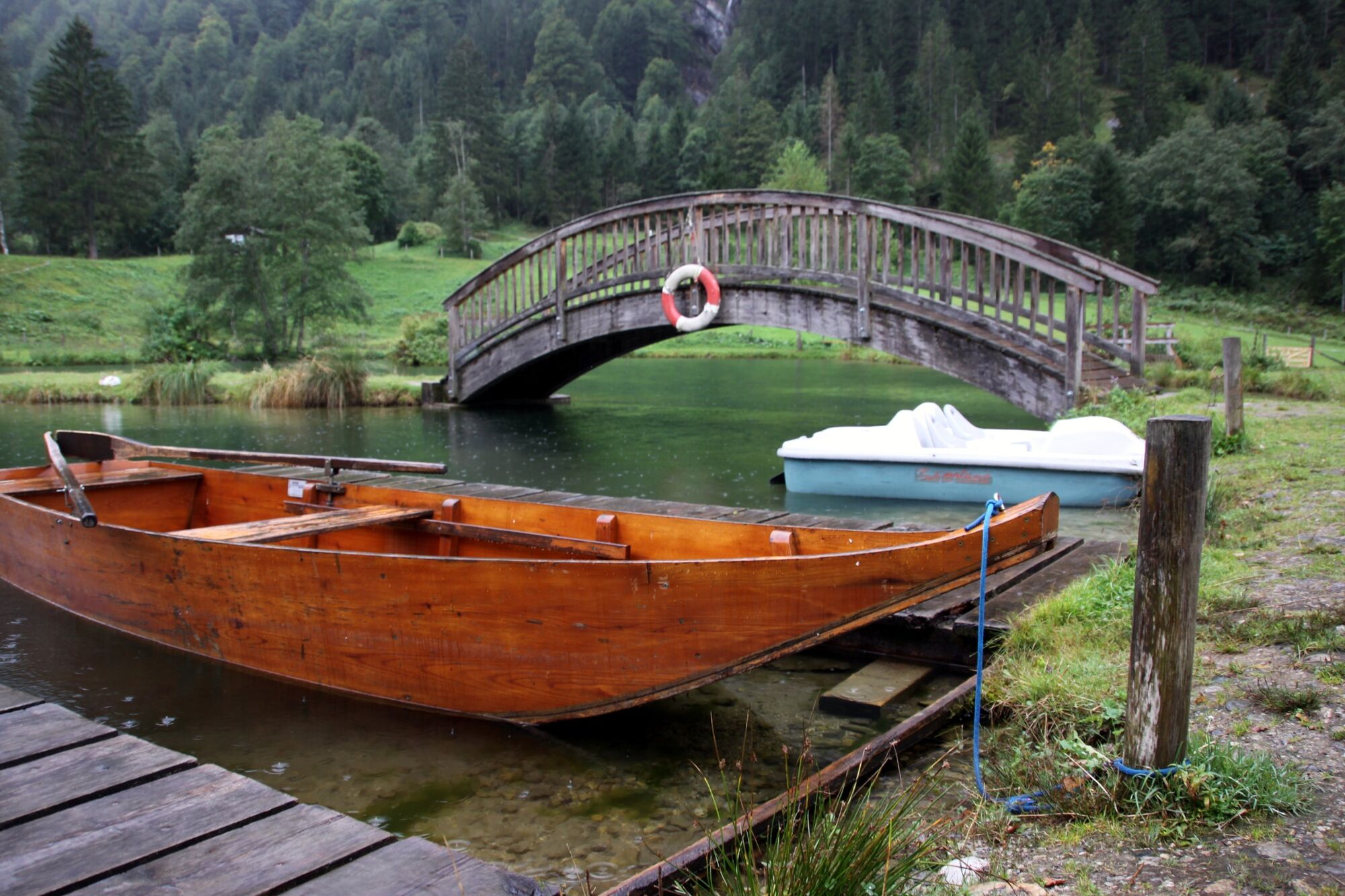
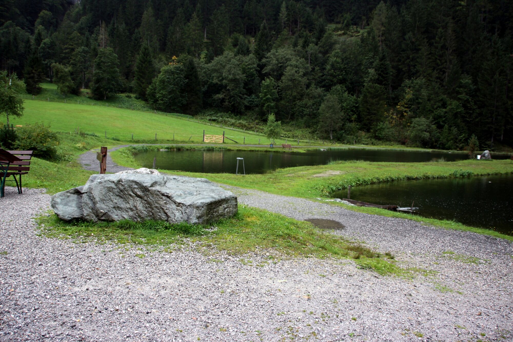
The wildlife park spreads over an area of 11 ha and hosts 40 wild animals. The kids especially enjoy the Adventureland with a fishing pond, swings, slides, a bathing pond and various small animals, such as rabbits, chicken, ducks, beavers, goats and llamas.
- Difficulté
-
moyen
- Évaluation
-
- Parcours
-
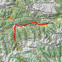
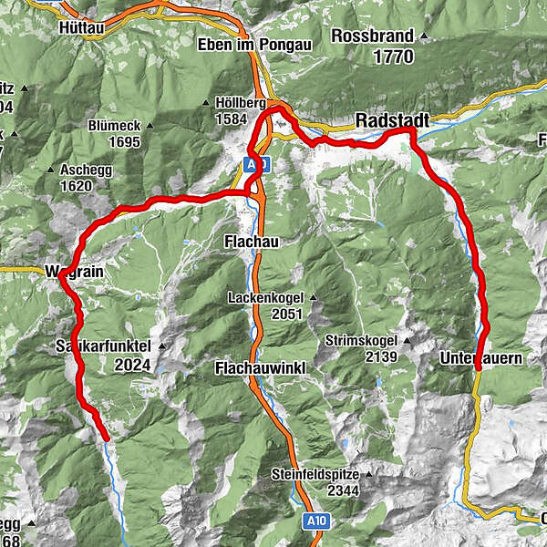
KleinarlBotenwirt0,8 kmFürbach6,1 kmMarkt7,0 kmFilalkirche Hl. Franziskus („Marktkirche“)7,1 kmWagrain7,3 kmHof8,1 kmMoos8,9 kmHubdörfl9,9 kmSchwaighof10,5 kmMoawirt11,9 kmMoadörfl12,0 kmScharfettkapelle14,8 kmFeuersang15,3 kmSinnhub20,8 kmAltenmarkt im Pongau22,1 kmKrallinger22,8 kmRadstadt (858 m)25,6 kmTauernblick29,2 kmHöggen29,5 kmGasthof Waldherr32,5 kmSchrotter Kapelle33,2 kmUntertauern36,3 km
- Meilleure saison
-
janv.févr.marsavrilmaijuinjuil.aoûtsept.oct.nov.déc.
- Hauteur maximale
- 1.000 m
- Point de mire
-
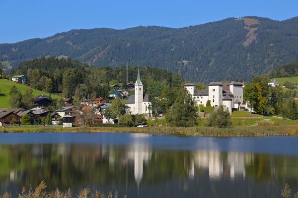
Wildlife park in Untertauern
- Profil en hauteur
-

-

-
AuteurLa randonnée Leisure & Wildlife park Untertauern (14) est utilisé par outdooractive.com fourni par.
GPS Downloads


Informations générales
Point de rassemblement
Autres parcours dans les régions
-
Katschberg Lieser-Maltatal
150
-
Salzburger Sportwelt
228
-
Flachau
144