
- Brève description
-
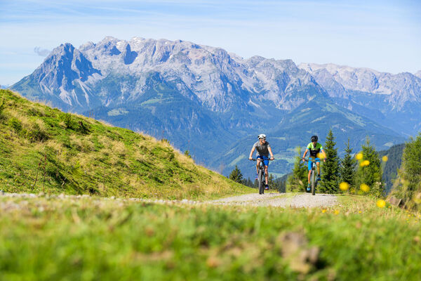
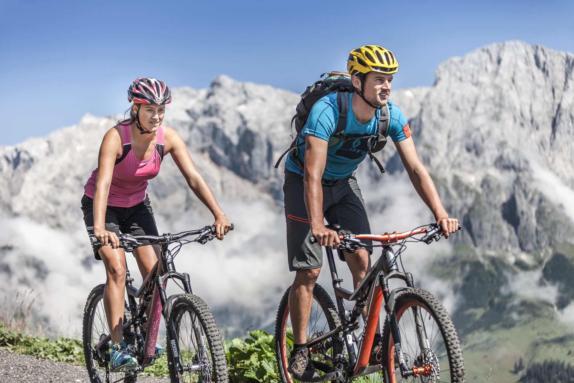
Mountain bike, eMTB or Road bike?
The main thing is, on two wheels.
Ambitious, demanding, in other words a true Aldorado for mountain bikers, road bikers and eBikers. This is what the mountainous countryside of the Hochkönig is all about!
- Difficulté
-
difficile
- Évaluation
-
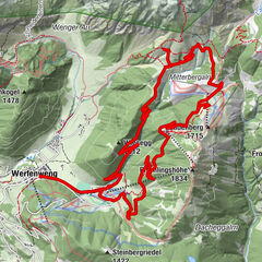
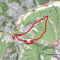
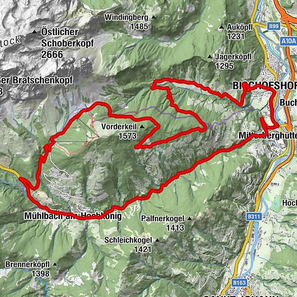
- Parcours
-
Mühlbach am HochkönigMitterberghütten8,0 kmEvang. Christuskirche10,5 kmLiebfrauenkirche10,7 kmBischofshofen10,8 kmLaideregg11,9 kmGainfeld15,0 kmHaidberg20,3 kmMitterbergsattel (1.515 m)27,0 kmArthurhaus27,3 kmMitterbergalm28,0 kmMühlbach am Hochkönig34,8 kmHöring34,9 kmAnderlwirt34,9 kmMesnerhaus, Café, Bar & Restaurant34,9 kmPfarrkirche zum hl. Sebastian35,0 km
- Meilleure saison
-
janv.févr.marsavrilmaijuinjuil.aoûtsept.oct.nov.déc.
- Hauteur maximale
- 1.518 m
- Point de mire
-
Town center of Mühlbach
- Profil en hauteur
-


- Auteur
-
La randonnée MTB Tour - Bischofshofen-Arthurhaus Round (Tour 4) est utilisé par outdooractive.com fourni par.
GPS Downloads


Informations générales
Point de rassemblement
Prometteur
Autres parcours dans les régions