Watzmann-Hochkönig South-Loop: Stage 5: Variant via St. Veit im Pongau

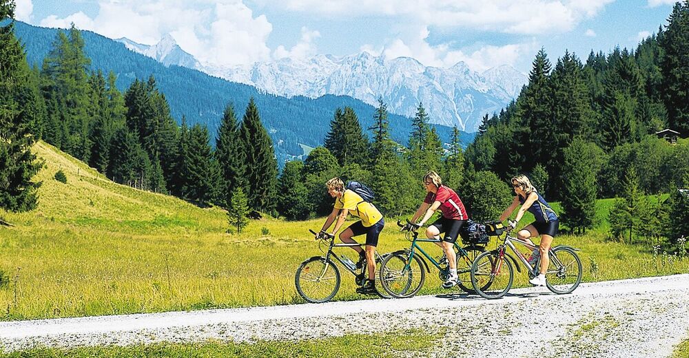
© ARGE Rad - SalzburgerLand, Chiemgau, Berchtesgadener Land - ©Salzburger Sonnenterrasse

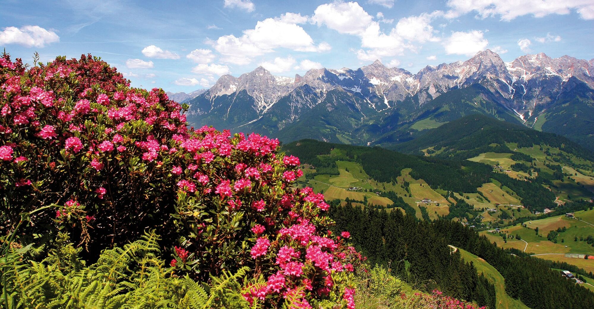
© ARGE Rad - SalzburgerLand, Chiemgau, Berchtesgadener Land - ©Hochkönig Tourismus

© ARGE Rad - SalzburgerLand, Chiemgau, Berchtesgadener Land - ©TVB_Goldegg_am_See

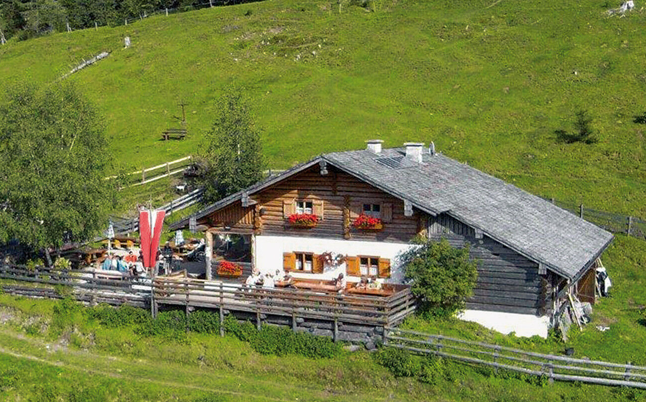
© ARGE Rad - SalzburgerLand, Chiemgau, Berchtesgadener Land - ©Pronebenalm
Dates des itinéraires
58,64km
541
- 1.405m
1.627hm
1.774hm
08:00h

- Brève description
-
This alternative branches, shortly before Dienten, away from the original route (stage 5a South) and has around 200 meters less to climb. Especially the idyllic Böndlsee, the ride along the so-called 'Sun Terrace of Salzburg' to St. Veit im Pongau and the subsequent climb to the Pronebenalm have their special charm.
- Difficulté
-
difficile
- Évaluation
-
- Parcours
-
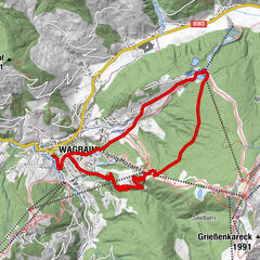
Gasthaus Waldhaus0,7 kmEnterwinkl0,8 kmJufenalm3,0 kmBirnbach7,9 kmHinterthal9,2 kmKath. Pfarrkirche hl. Dreifaltigkeit9,4 kmFischerstüberl21,0 kmSchattberg21,7 kmSonnberg21,9 kmOberdorfkapelle26,6 kmBoden27,1 kmMitterstein28,7 kmAnnakirche31,1 kmWeng31,1 kmUrpaß34,6 kmWegscheid34,6 kmStein35,0 kmFeldmair35,6 kmPichl36,3 kmOberlehen40,2 kmFadlsteinkapelle40,3 kmKreisten41,1 kmHubertuskapelle41,1 kmMitterberghütten54,3 kmPizzeria55,4 kmPfarrkirche St. Maximillian58,3 kmBischofshofen58,4 kmLiebfrauenkirche58,6 km
- Meilleure saison
-
janv.févr.marsavrilmaijuinjuil.aoûtsept.oct.nov.déc.
- Hauteur maximale
- 1.405 m
- Point de mire
-
Bischofshofen
- Profil en hauteur
-


- Auteur
-
La randonnée Watzmann-Hochkönig South-Loop: Stage 5: Variant via St. Veit im Pongau est utilisé par outdooractive.com fourni par.
GPS Downloads


Informations générales
Point de rassemblement
Flore
Autres parcours dans les régions
-
Hochkönig
350
-
Goldegg am See
106