© Tourismusverband Abtenau - Tourismusverband Russbach
© Tourismusverband Abtenau - Tourismusverband Russbach


© Österreichs Wanderdörfer - Tourismusverband Russbach

© Hotel Königgut - Christine Bauernhansl

© Hotel Königgut - Christine Bauernhansl

© Unbekannt

© Österreichs Wanderdörfer - Tourismusverband Russbach

- Brève description
-
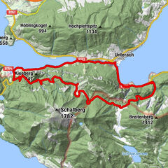
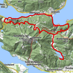
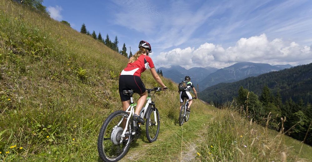
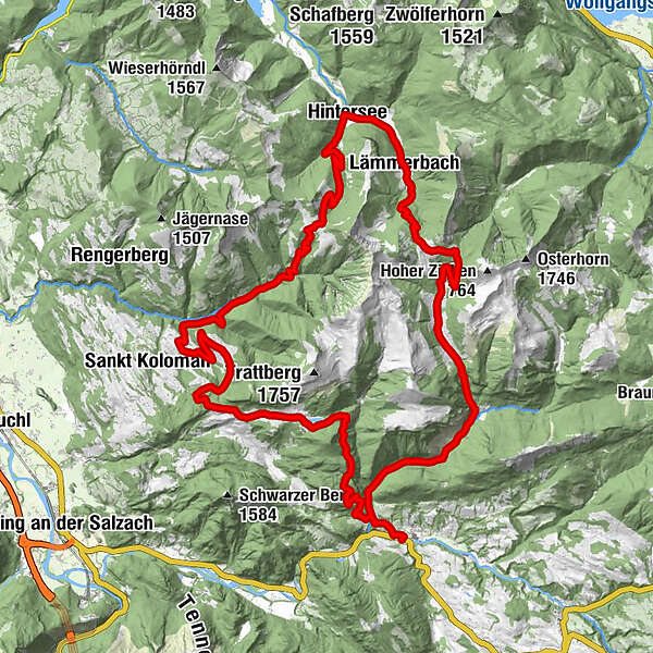
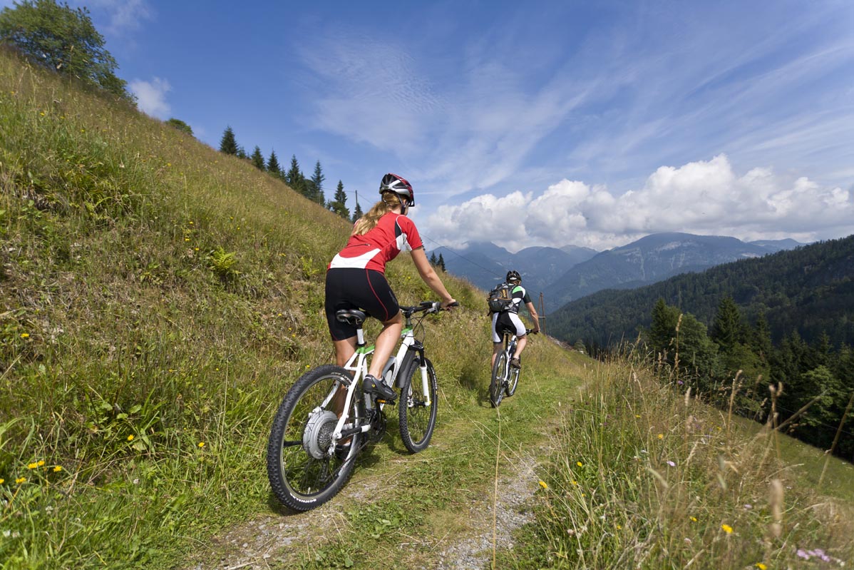
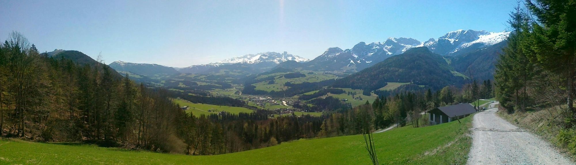
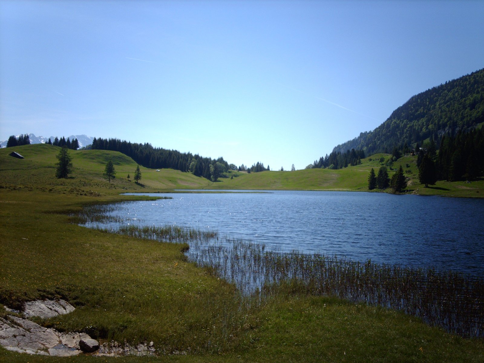
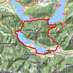
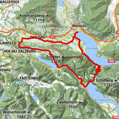
Extensive mountain bike tour around the Osterhorn group, past the Seewaldsee lake and through the wild Ackersbachtal valley.
- Difficulté
-
moyen
- Évaluation
-
- Parcours
-
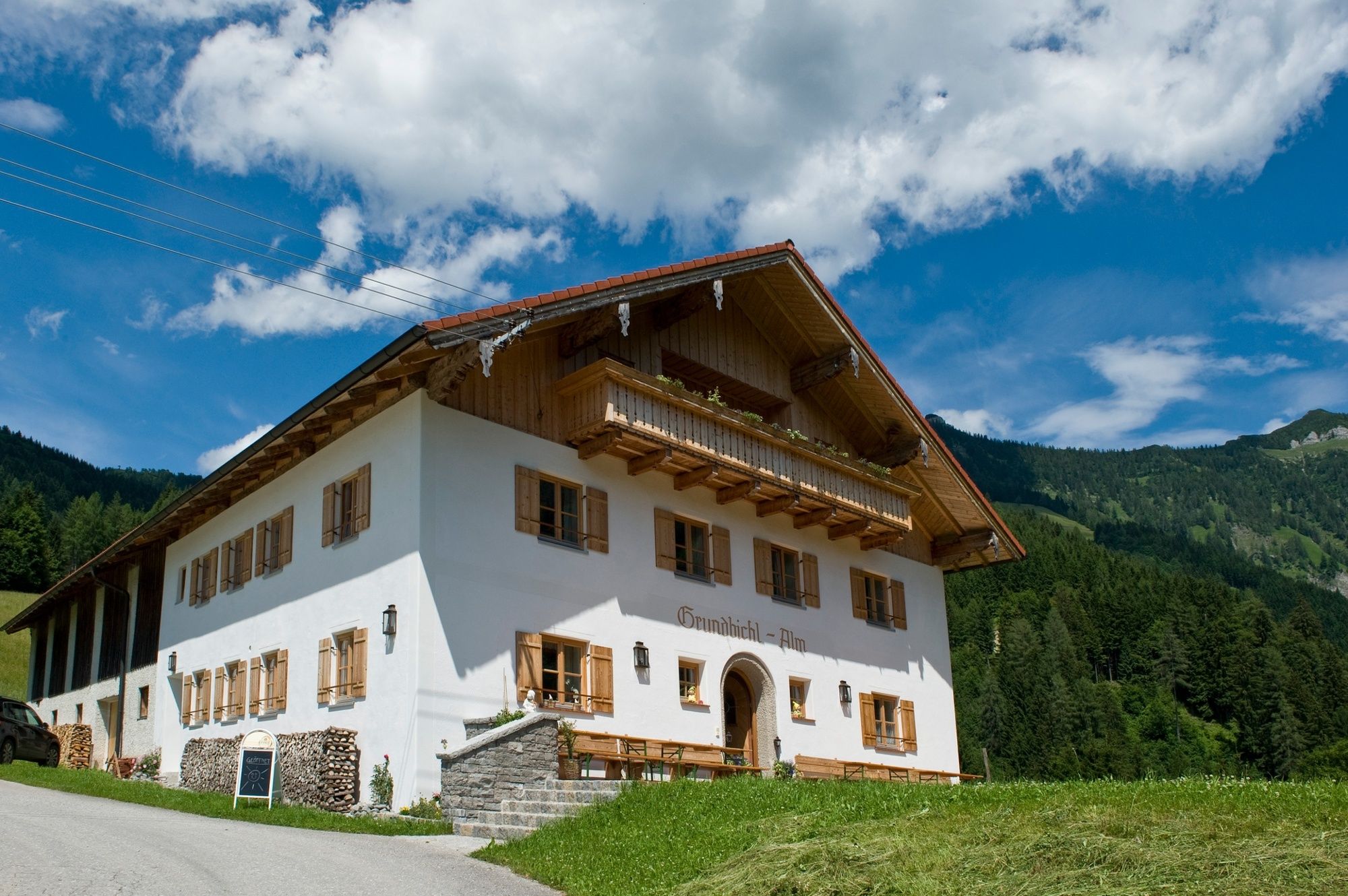
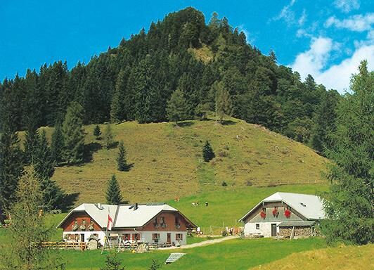
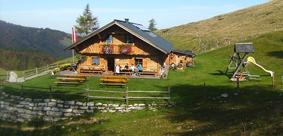
Voglau0,1 kmPichl0,2 kmPichlhöhe (623 m)1,3 kmAubachwasserfall1,3 kmGroßhornn15,7 kmTaugler Strubklamm22,3 kmTauglboden22,9 kmDaviden-Kapelle24,0 kmGrundbichlalm25,2 kmBergalm28,0 kmNeureithütte28,1 kmMühlviertel33,4 kmHeilige Leonhard und Georg34,4 kmHintersee (746 m)34,5 kmAlte Krämerei34,6 kmLämmerbach (801 m)37,1 kmPosch'nhütte41,2 kmAckersbackalm46,3 kmAubachwasserfall55,5 kmPichlhöhe (623 m)55,6 kmPichl56,7 kmVoglau56,8 km
- Meilleure saison
-
janv.févr.marsavrilmaijuinjuil.aoûtsept.oct.nov.déc.
- Hauteur maximale
- 1.322 m
- Point de mire
-
Abtenau-district Voglau, Voglauerhof
- Profil en hauteur
-


-

-
AuteurLa randonnée TG18 Osterhorn-round est utilisé par outdooractive.com fourni par.
GPS Downloads


Circuits
Trial
Informations générales
Point de rassemblement
Prometteur
Autres parcours dans les régions
 - Blick nach St. Wolfgang und St. Gilgen")

, Anfang")