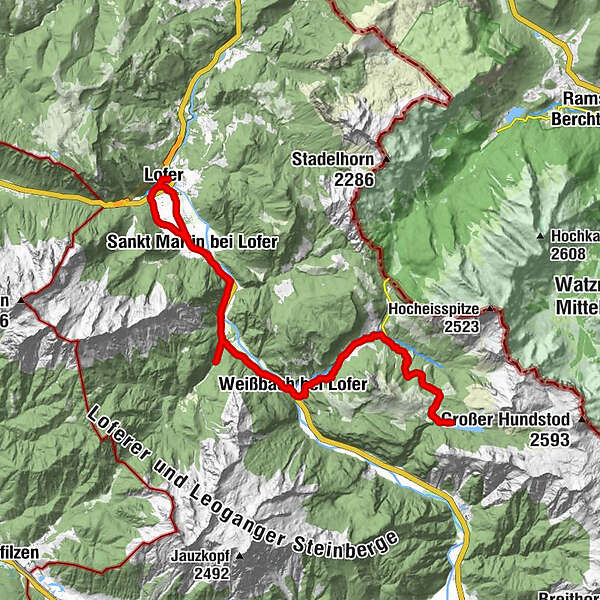
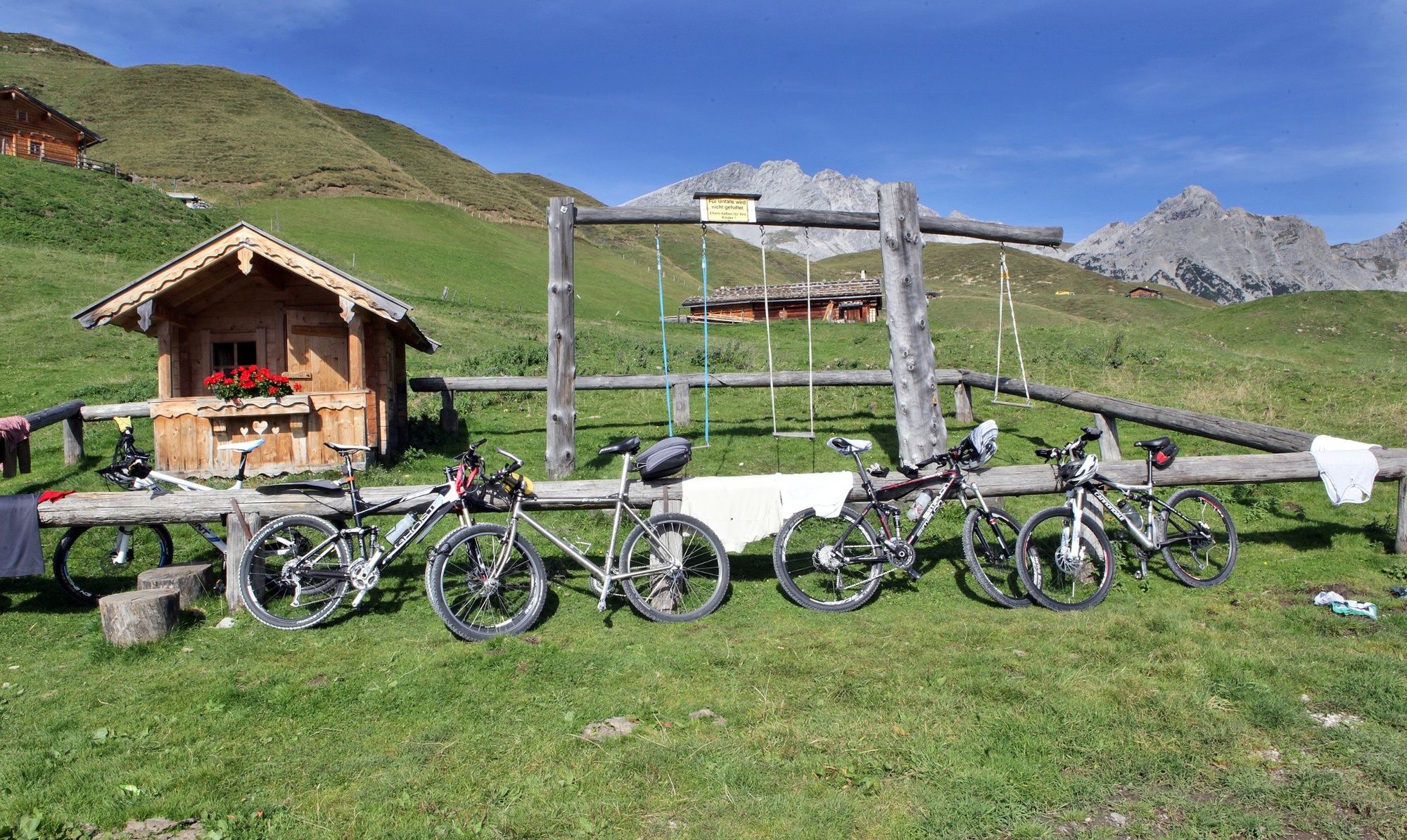
With the e-mountain bike to the Dießbach reservoir

Faire du vélo


- Brève description
-
Beautiful e-mountain bike tour from Lofer via St. Martin and Weißbach to the Dießbach reservoir on the Kalbrunnalm.
- Difficulté
-
moyen
- Évaluation
-
- Parcours
-
Pfarrkirche Hll Maria und Leonhard0,1 kmLofer0,2 kmGumping1,3 kmSankt Martin bei Lofer2,7 kmRestaurant Cafe Martinerhof3,0 kmGasthaus zum Steinerwirt3,0 kmObsthurn5,2 kmDürnberger6,6 kmGasthaus Lamprechtshöhle9,1 kmLandgasthof Seisenbergklamm10,2 kmWeißbach bei Lofer10,2 kmUnterweißbach10,4 kmOberweißbach10,5 kmSeisenbergklamm11,8 kmGasthof Lohfeyer13,4 kmStockklaus13,8 kmStockklaus27,3 kmGasthof Lohfeyer27,8 kmSeisenbergklamm29,5 kmOberweißbach30,7 kmUnterweißbach30,8 kmWeißbach bei Lofer30,9 kmLandgasthof Seisenbergklamm31,0 kmGasthaus Lamprechtshöhle31,8 kmDürnberger36,1 kmObsthurn37,5 kmGasthaus zum Steinerwirt39,5 kmSankt Martin bei Lofer39,6 kmRestaurant Cafe Martinerhof39,8 kmPfarrkirche Hll Maria und Leonhard43,0 kmLofer43,0 km
- Meilleure saison
-
janv.févr.marsavrilmaijuinjuil.aoûtsept.oct.nov.déc.
- Hauteur maximale
- 1.468 m
- Point de mire
-
Lofer - Salzburger Saalachtal office
- Profil en hauteur
-


-

-
AuteurLa randonnée With the e-mountain bike to the Dießbach reservoir est utilisé par outdooractive.com fourni par.
GPS Downloads


Informations générales
Point de rassemblement
Prometteur
Autres parcours dans les régions