© Salzburger Saalachtal Tourismus - Walter Schweinöster

© Salzburger Saalachtal Tourismus - off the path

© Salzburger Saalachtal Tourismus - off the path

© Hotel Königgut - Christine Bauernhansl

© Salzburger Saalachtal Tourismus - off the path

- Brève description
-
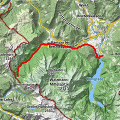
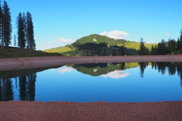
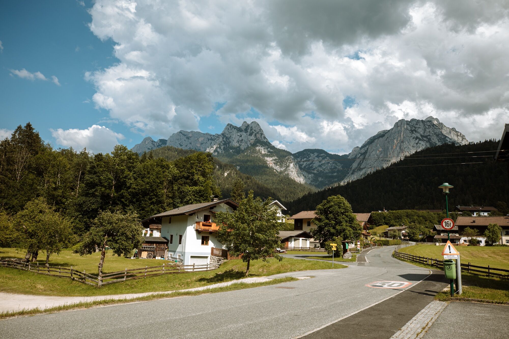
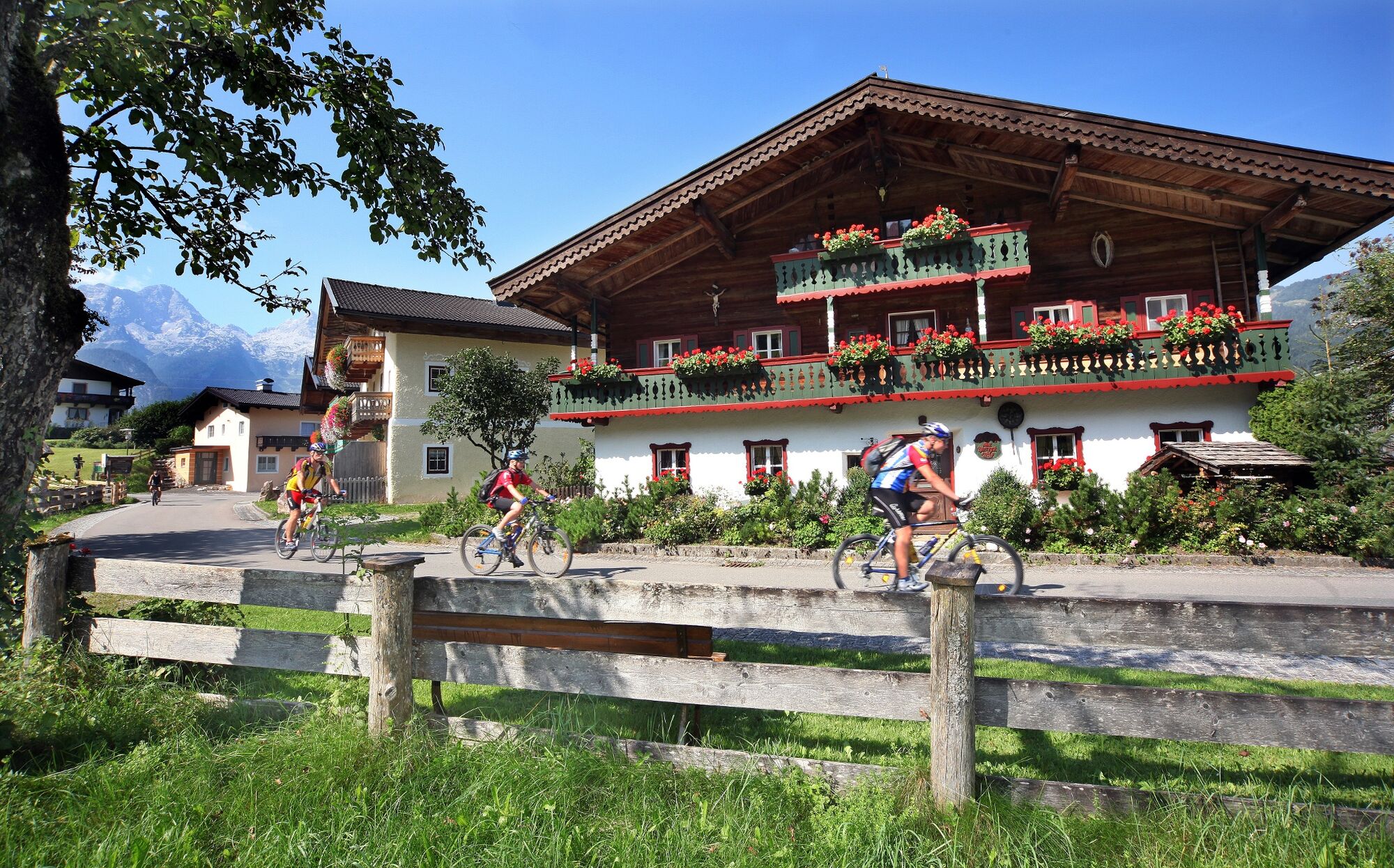
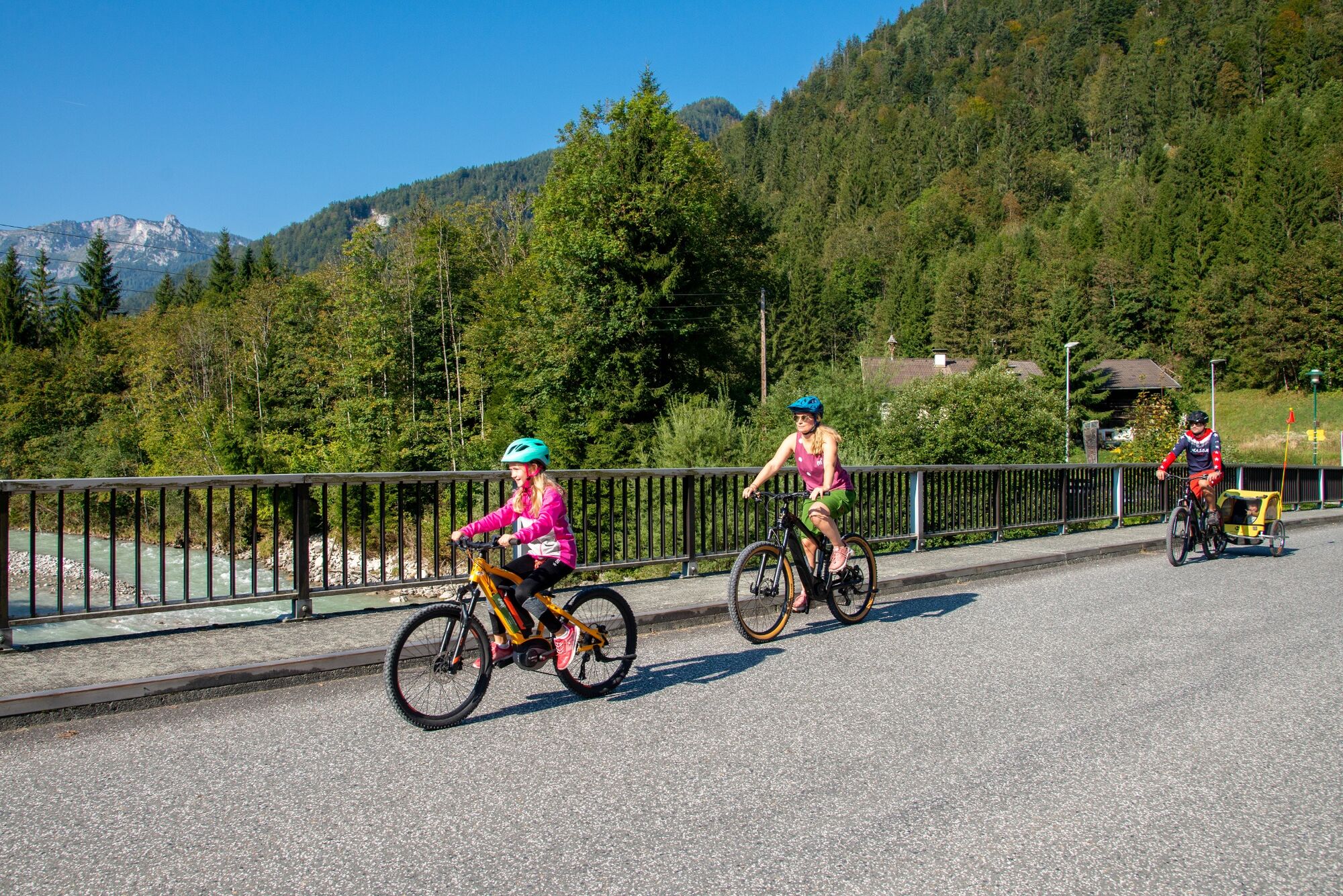
Family bike tour from Unken along the Saalach and the Tauern bike path to Lofer. Back via Scheffsnoth, Au and Reith.
- Difficulté
-
moyen
- Évaluation
-
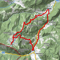
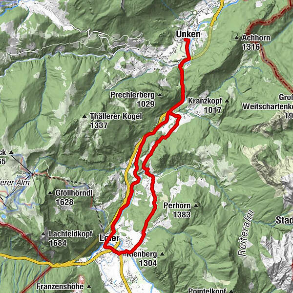
- Parcours
-
Unken0,1 kmKniepass (554 m)2,3 kmHallenstein4,7 kmMaurach6,3 kmBairau7,8 kmKreuzkirche Lofer8,5 kmLofer8,6 kmScheffsnoth10,3 kmAu12,7 kmAntoniuskapelle13,0 kmReith16,2 kmKniepass (554 m)16,9 kmUnken19,5 km
- Meilleure saison
-
janv.févr.marsavrilmaijuinjuil.aoûtsept.oct.nov.déc.
- Hauteur maximale
- 646 m
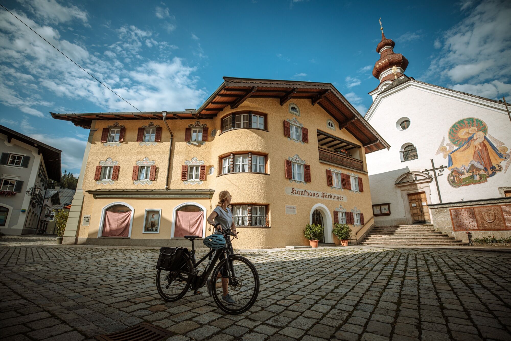
- Point de mire
-
Unken Town Hall
- Profil en hauteur
-


-

-
AuteurLa randonnée To Lofer and back – including a short downhill passage est utilisé par outdooractive.com fourni par.
GPS Downloads


Informations générales
Point de rassemblement
Autres parcours dans les régions