- Brève description
-
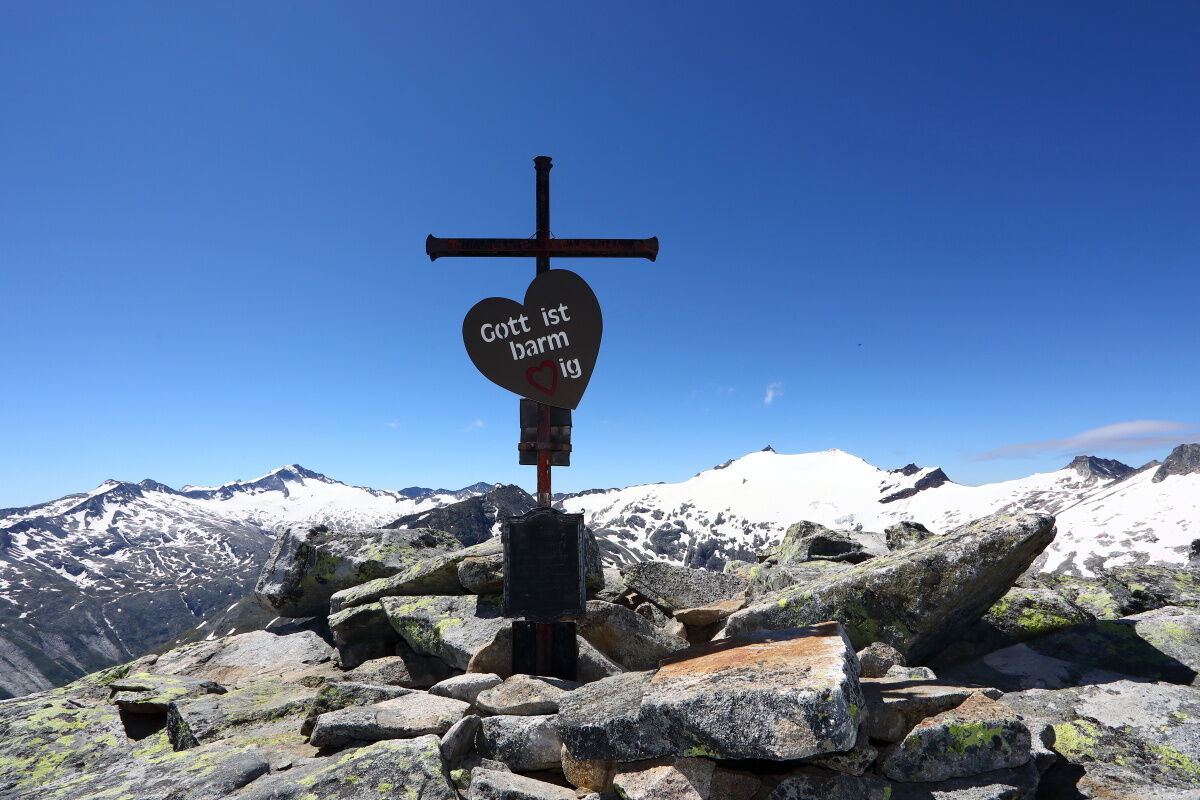
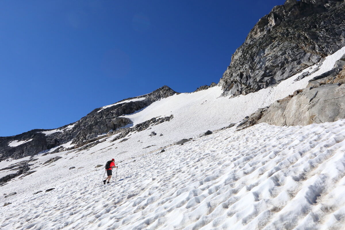
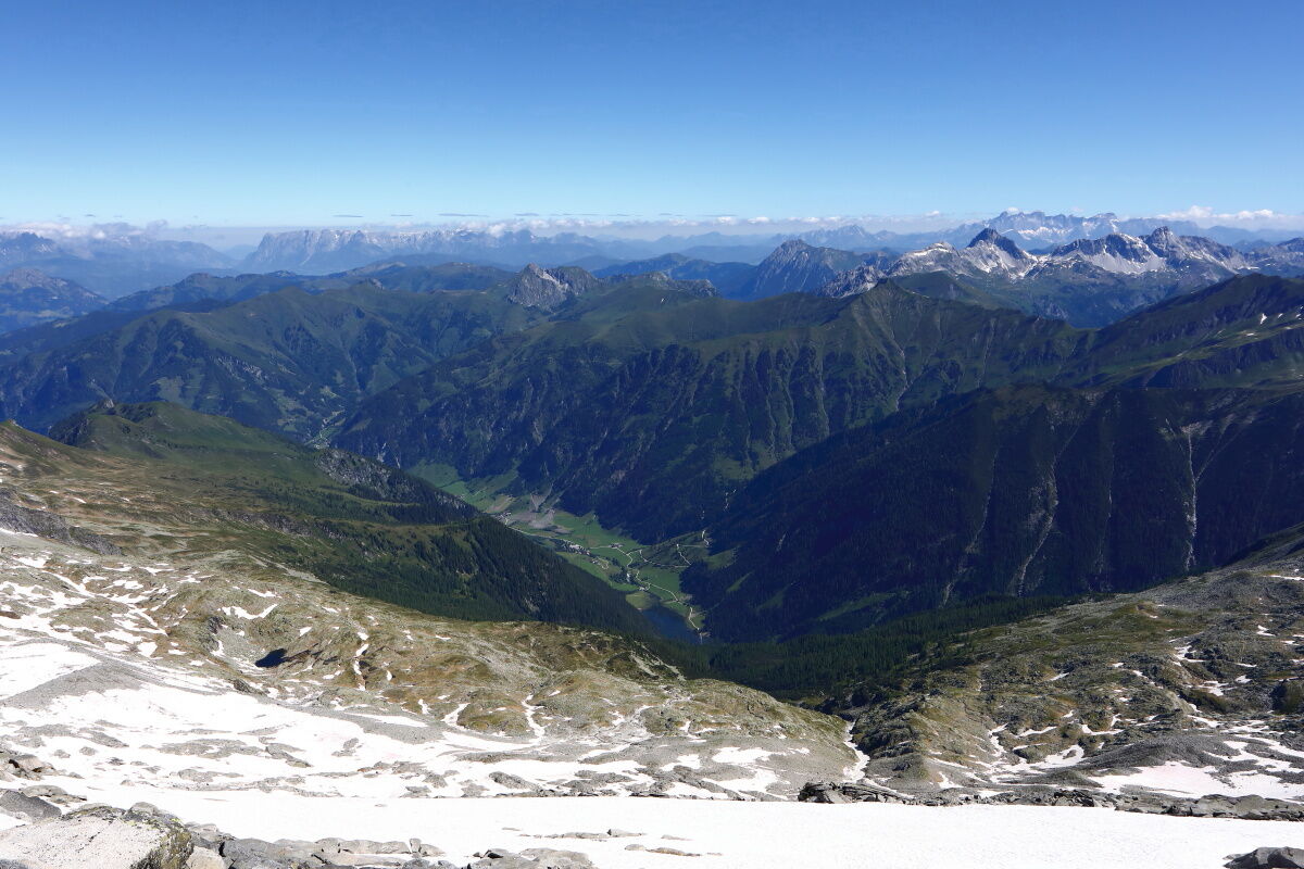
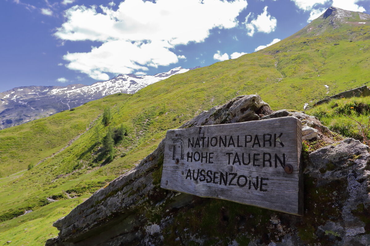
The Keeskogel (2,884 m) is the hightest mountain in Grossarltal and the only glaciert. It is a challenge for all the mountaineers.
- Difficulté
-
difficile
- Évaluation
-
- Parcours
-
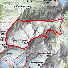
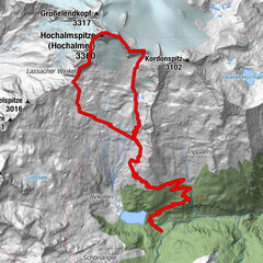
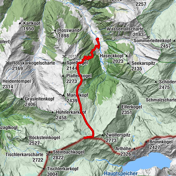
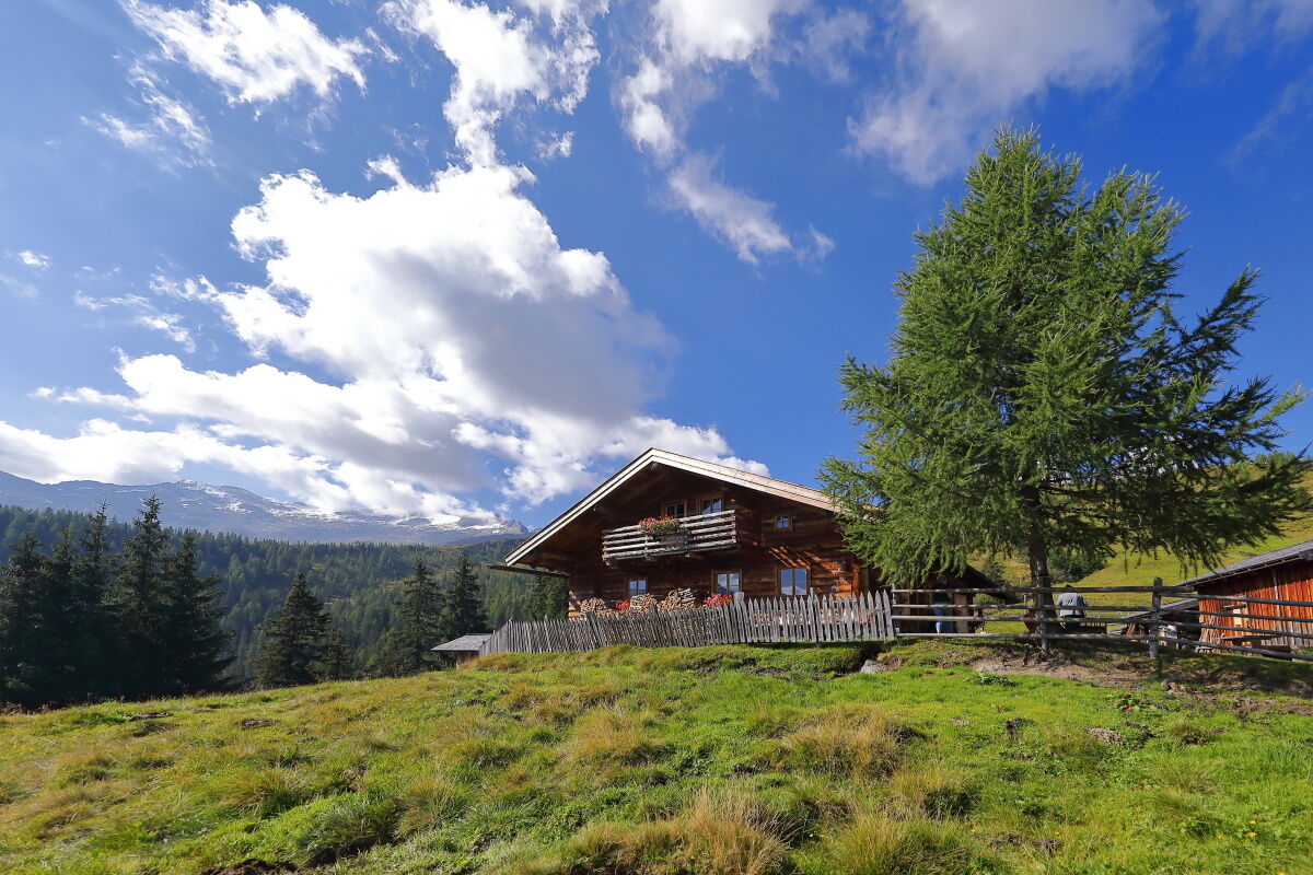
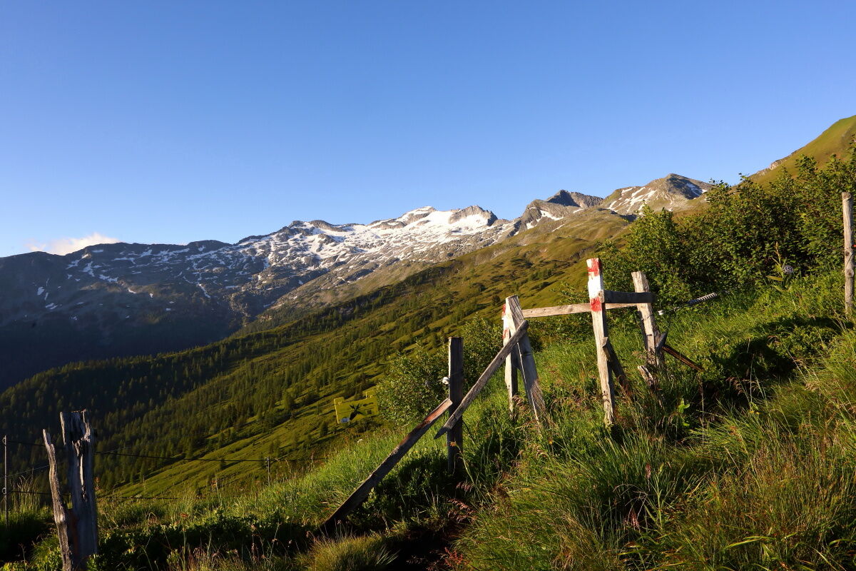
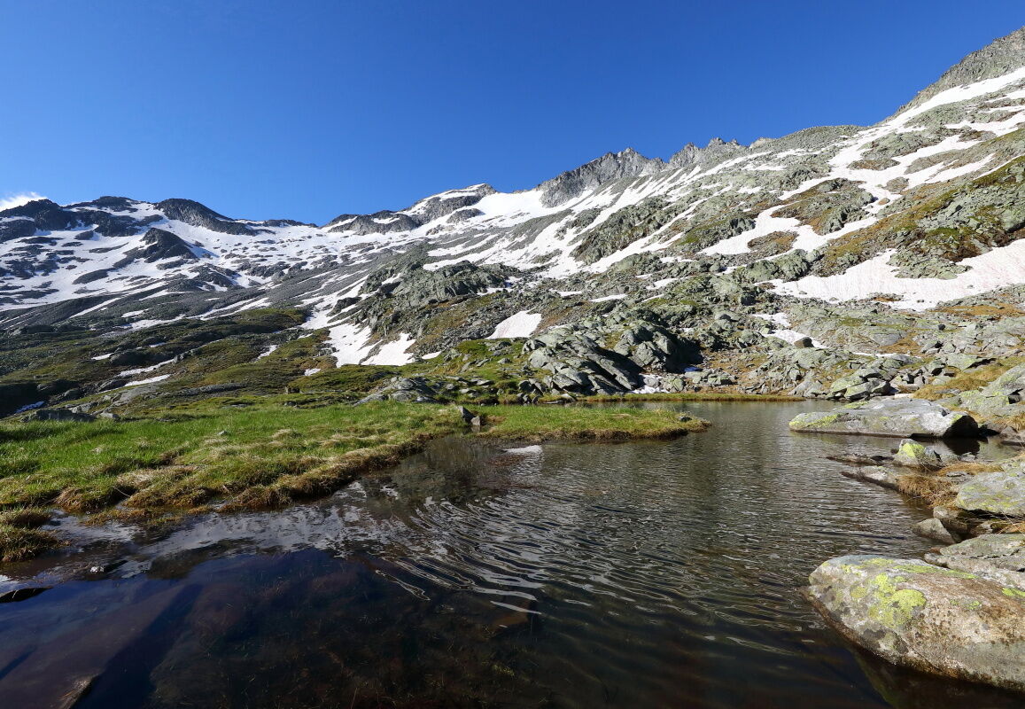
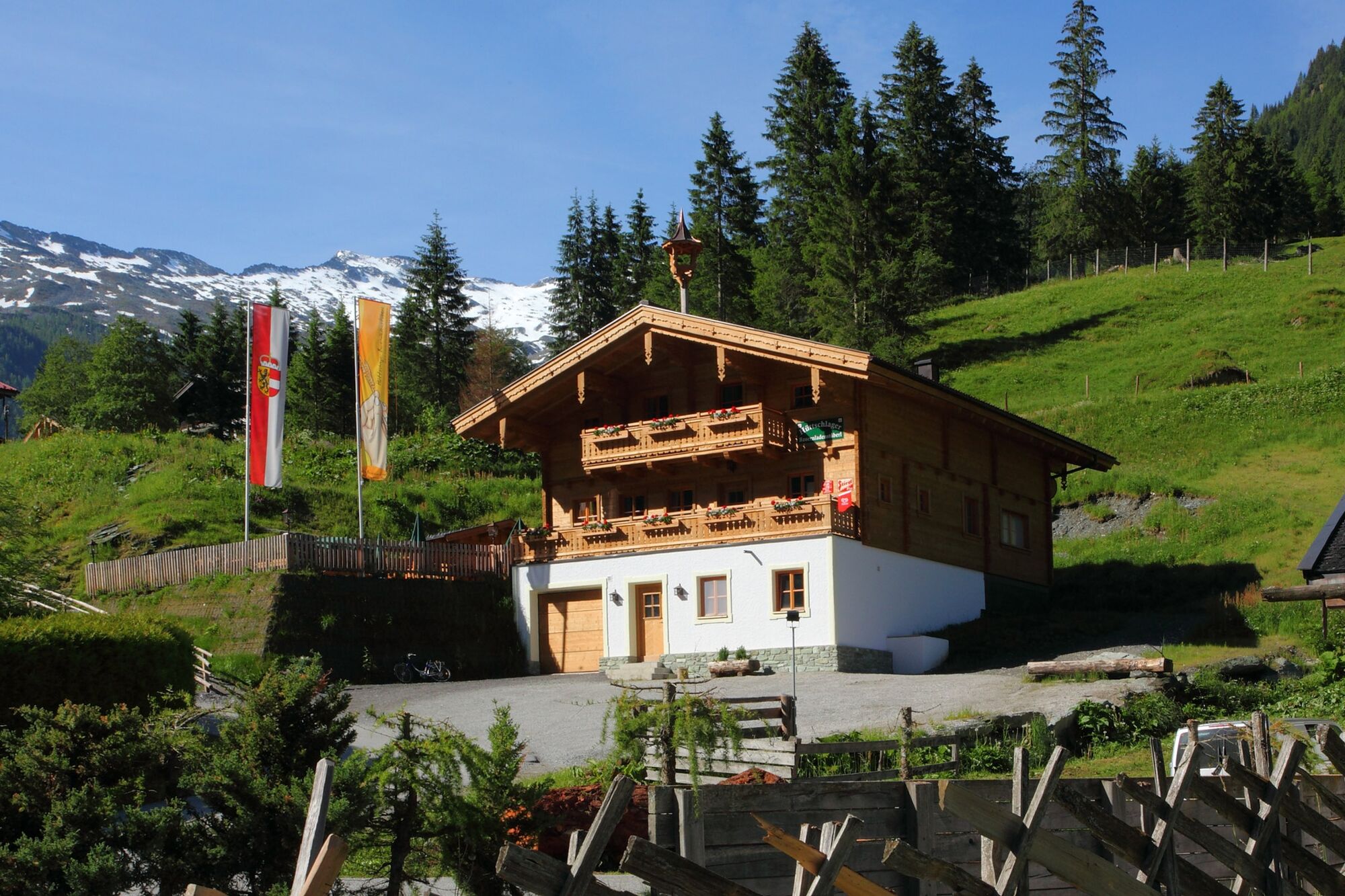
Talwirt0,1 kmBauernladenstüberl0,2 kmPertillkapelle0,3 kmSee0,6 kmModereggalm3,4 kmKeeskogel (2.884 m)8,9 kmModereggalm14,7 kmSee17,5 kmPertillkapelle17,7 kmBauernladenstüberl17,8 kmTalwirt17,9 kmHubertuskapelle18,0 km
- Meilleure saison
-
janv.févr.marsavrilmaijuinjuil.aoûtsept.oct.nov.déc.
- Hauteur maximale
- 2.863 m
- Point de mire
-
Keeskogel
- Profil en hauteur
-

- Auteur
-
La randonnée Hüttschlag: Keeskogel est utilisé par outdooractive.com fourni par.
GPS Downloads


Informations générales
Point de rassemblement
Secret
Prometteur
Autres parcours dans les régions