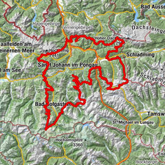
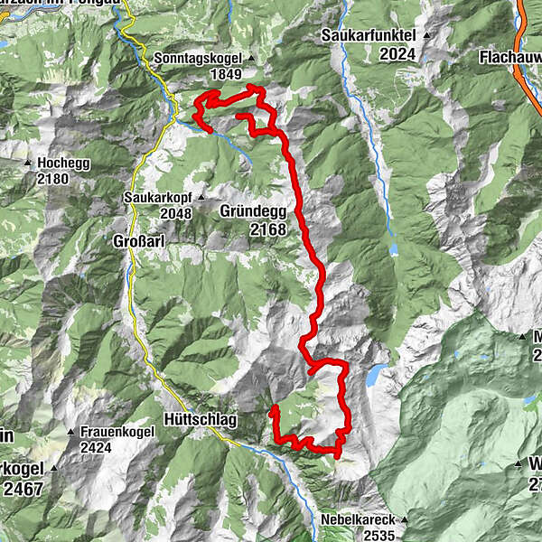
Grossarltal: 3-days-hiking-tour from the Kitzstein (Gabel) to the Kreuzeck

Chemin de Grande Randonnée


- Brève description
-
3-days-hiking-tour along the eastern side of the valley from Kitzstein to the Penkkopf and the Kreuzeck.
- Difficulté
-
moyen
- Évaluation
-
- Parcours
-
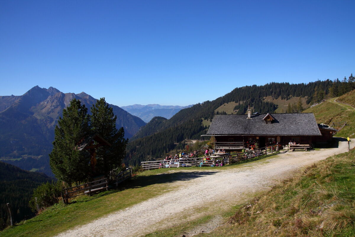
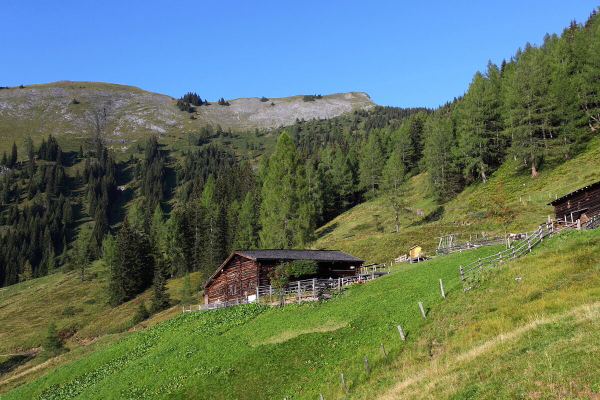
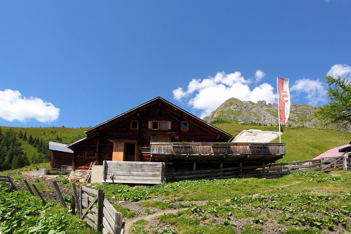
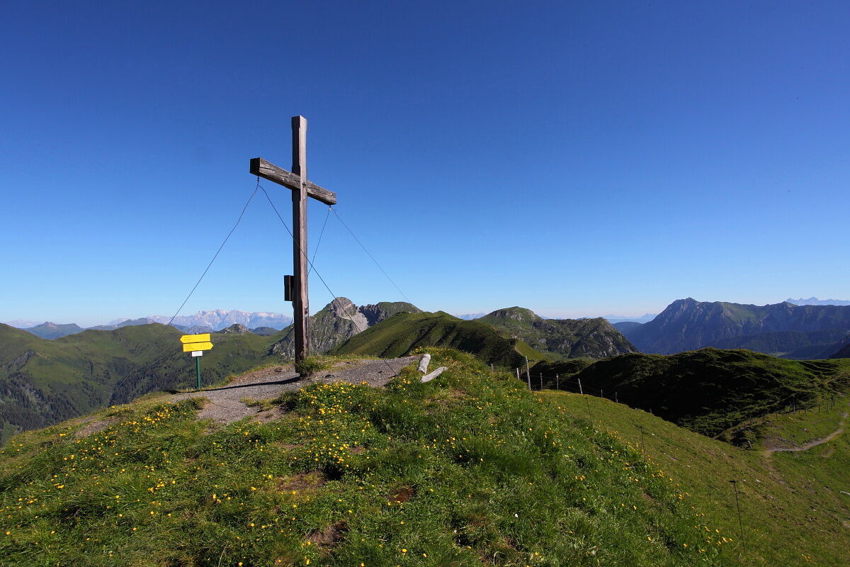
Muggenfeldalm (Rothofalm)4,8 kmMaurachalm5,7 kmGabel (2.037 m)7,6 kmUnterwandalm10,9 kmKarsegg-Heimalm11,9 kmPenkkopf (2.011 m)14,9 kmGründegg (2.168 m)16,7 kmKlaussattel18,8 kmDraugsteinalm-Schrambachhütte24,7 kmDraugsteinalm-Steinmannhütte24,7 kmDraugsteinalmen24,8 kmGurenstein (2.219 m)27,5 kmKarteistörl (2.146 m)28,7 kmKreuzeck (2.204 m)29,3 kmGlettnalm30,9 km
- Meilleure saison
-
janv.févr.marsavrilmaijuinjuil.aoûtsept.oct.nov.déc.
- Hauteur maximale
- 2.192 m
- Point de mire
-
Parking lot Hallmoosalm
- Profil en hauteur
-


- Auteur
-
La randonnée Grossarltal: 3-days-hiking-tour from the Kitzstein (Gabel) to the Kreuzeck est utilisé par outdooractive.com fourni par.
GPS Downloads


Informations générales
Point de rassemblement
Secret
Flore
Faune
Prometteur
Autres parcours dans les régions