Leipzig-Elbe Cycle Route – Saxon Countryside at its Best

Faire du vélo

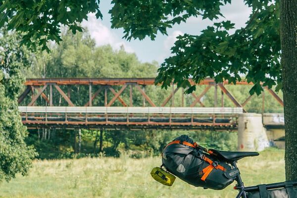
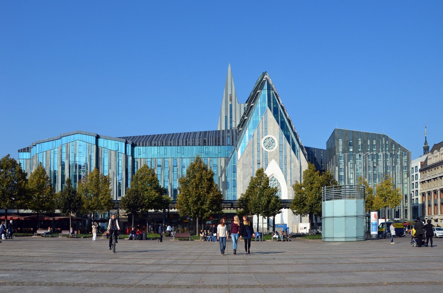
© LEIPZIG REGION - Andreas Schmidt

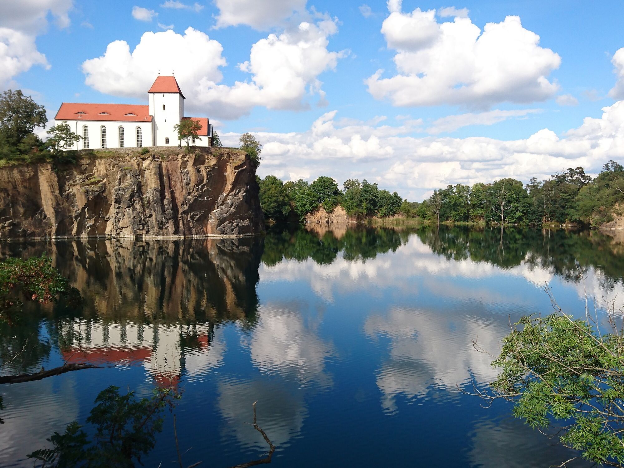
© Geopark Porphyrland. Steinreich in Sachsen - Wiebke Hebold

© K. Lange - Verena Daser

© LTM GmbH - Hüller Fotografie

© K. Lange - Verena Daser

- Brève description
-
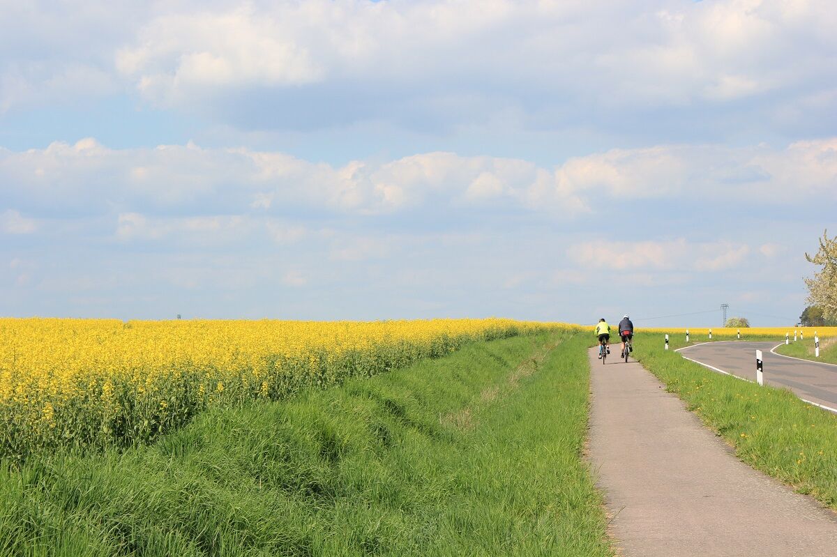
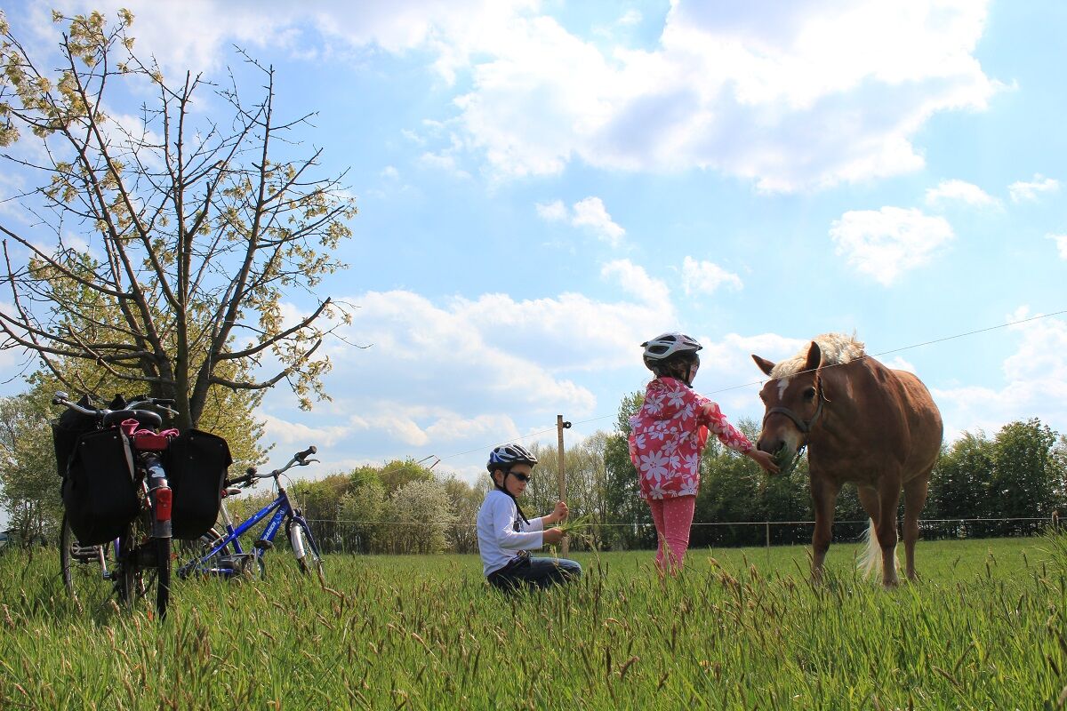
Idyllic spots, lakes and mills line this a little less known cycle route between Leipzig and the Elbe.
- Difficulté
-
moyen
- Évaluation
-
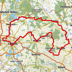
- Parcours
-
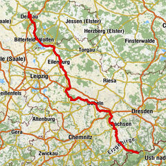
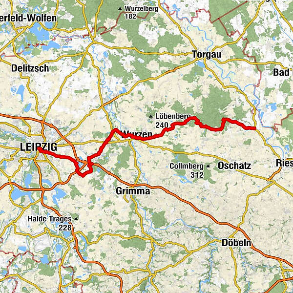
Leipzig (118 m)Schneckenberg0,7 kmReudnitz2,3 kmAnger2,9 kmCrottendorf3,1 kmAnger-Crottendorf3,7 kmKirche Mölkau6,1 kmZweinaundorf6,1 kmGasthof Zweinaundorf6,3 kmBaalsdorf7,6 kmGasthof Baalsdorf8,4 kmKleinpösna11,2 kmSeifertshain13,6 kmFuchshain15,3 kmErdmannshain18,6 kmEicha19,3 kmGasthof Eicha19,4 kmDorfkirche20,1 kmAlbrechtshain20,2 kmHotel Seerose23,0 kmBeucha24,0 kmSankt Ludwig24,1 kmBrandis (137 m)27,6 kmMachern31,2 kmZum alten Zollhaus31,6 kmLübschütz35,6 kmNepperwitz37,1 kmGrubnitz38,8 kmAltstadt42,3 kmWurzen (124 m)42,7 kmRoitzsch45,2 kmKörlitz47,8 kmKühnitzsch50,1 kmFalkenhain (137 m)55,3 kmFrauwalde58,3 kmGaststätte Fröhlich61,1 kmOchsensaal61,3 kmSchmannewitz65,6 kmRestaurant Jagdhaus-Dahlen68,7 kmSteinberg (158 m)69,2 kmBucha69,9 kmZeuckritz71,4 kmWaldschänke74,7 kmReudnitz74,7 kmDorfkirche77,3 kmOlganitz77,3 kmTreptitz78,9 kmSchirmenitz83,5 km
- Meilleure saison
-
janv.févr.marsavrilmaijuinjuil.aoûtsept.oct.nov.déc.
- Hauteur maximale
- 183 m
- Point de mire
-
Schirmenitz
- Profil en hauteur
-
 © outdooractive.com
-

-
AuteurLa randonnée Leipzig-Elbe Cycle Route – Saxon Countryside at its Best est utilisé par outdooractive.com fourni par.
GPS Downloads


Autres parcours dans les régions