


Extended tour around the Vordere Sächsische Schweiz (Saxon Switzerland)
Photos de nos utilisateurs
-
 © Katja SenkelCréé le 16.05.2026
 -
 © Katja SenkelCréé le 16.05.2026
 -
 © Katja SenkelCréé le 16.05.2026
 -
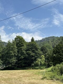
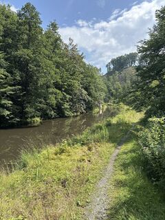
 © Katja SenkelCréé le 15.05.2026
 -

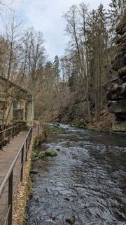
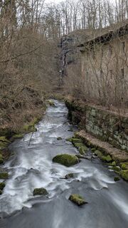
 © berg-wandererCréé le 28.04.2026
 -
 © berg-wandererCréé le 28.04.2026
 -
 © berg-wandererCréé le 28.04.2026
 -
 © berg-wandererCréé le 28.04.2026
 -
 © berg-wandererCréé le 28.04.2026
 -
 © berg-wandererCréé le 28.04.2026
 -
 © berg-wandererCréé le 28.04.2026
 -
 © berg-wandererCréé le 28.04.2026
 -

 © RMMCréé le 06.04.2026
 -
 © RMMCréé le 06.04.2026
 -
 © hochlandfamilieCréé le 17.03.2026
 -
 © hochlandfamilieCréé le 17.03.2026
 -
 © hochlandfamilieCréé le 17.03.2026
 -
 © hochlandfamilieCréé le 17.03.2026
 -
 © hochlandfamilieCréé le 17.03.2026
 -
 © hochlandfamilieCréé le 17.03.2026
 -
 © hochlandfamilieCréé le 17.03.2026
 -
 © hochlandfamilieCréé le 17.03.2026
 -
 © hochlandfamilieCréé le 17.03.2026
 -
 © hochlandfamilieCréé le 17.03.2026
 -
 © hochlandfamilieCréé le 17.03.2026
 -
 © hochlandfamilieCréé le 17.03.2026
 -
 © Ematirdea58Créé le 02.01.2026
 -
 © DimaCréé le 30.09.2025
 -
 © Johann KalteneggerCréé le 17.09.2025
 -

 © Januar YCréé le 07.09.2025
 -

 © Rmiko88Créé le 05.09.2025
 -
 © Rmiko88Créé le 05.09.2025
 -
 © Stefan MendaCréé le 16.07.2025
 -
 © Stefan MendaCréé le 16.07.2025
 -
 © Stefan MendaCréé le 16.07.2025
 -
 © Stefan MendaCréé le 16.07.2025
 -
 © Stefan MendaCréé le 13.07.2025
 -
 © Stefan MendaCréé le 13.07.2025
 -
 © Stefan MendaCréé le 13.07.2025
 -
 © Tino W.Créé le 07.05.2025
 -
 © Tino W.Créé le 07.05.2025
 -
 © hochlandfamilieCréé le 23.03.2025
 -
 © hochlandfamilieCréé le 23.03.2025
 -
 © hochlandfamilieCréé le 23.03.2025
 -
 © hochlandfamilieCréé le 23.03.2025
 -
 © hochlandfamilieCréé le 23.03.2025
 -
 © hochlandfamilieCréé le 23.03.2025
 -
 © hochlandfamilieCréé le 09.02.2025


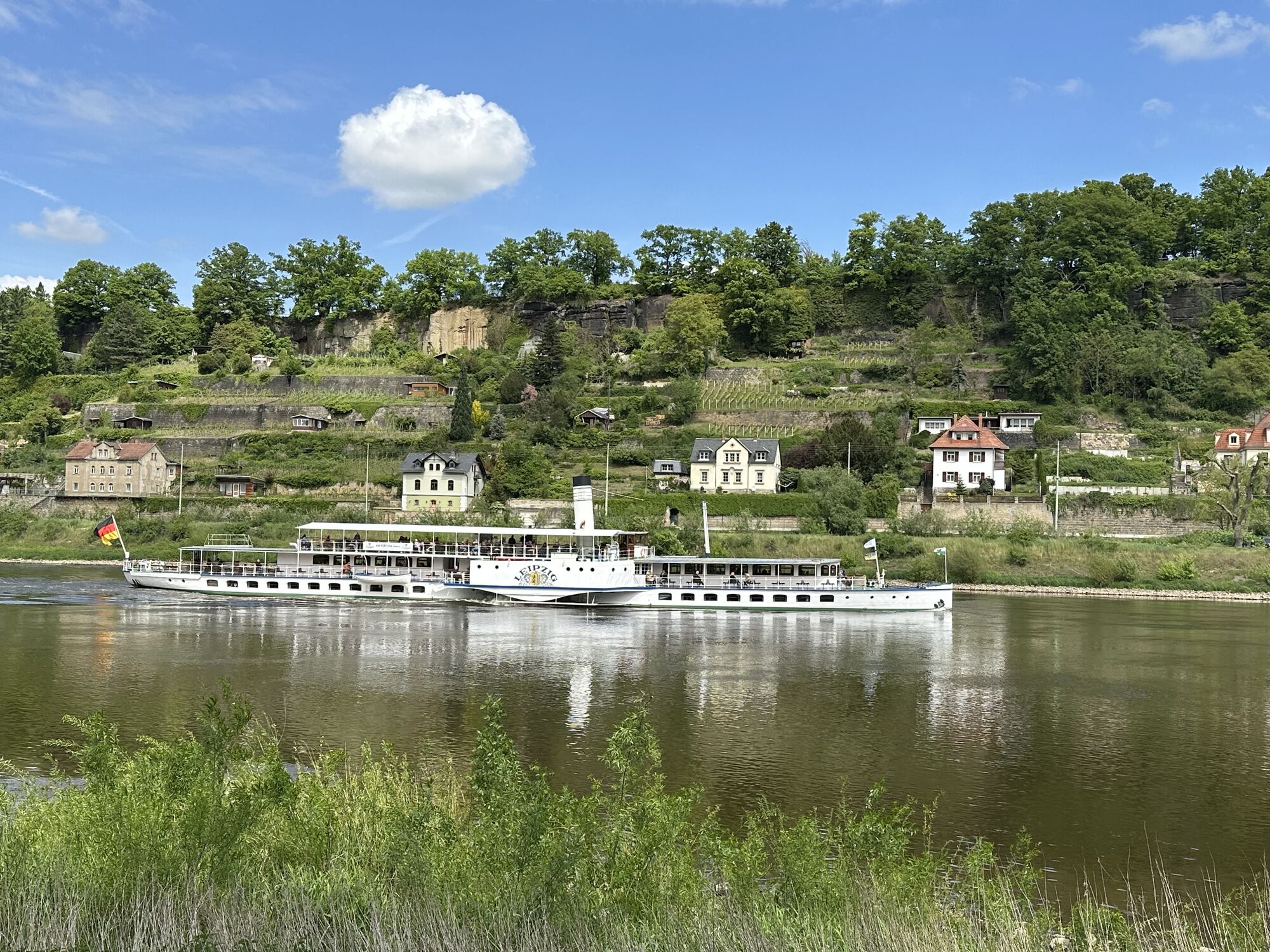


The tour starts in Pirna at the railway station. Follow the cycle path over the city bridge to the other side of the Elbe. At the end of the bridge, turn right onto Fährstraße and then immediately right...
The tour starts in Pirna at the railway station. Follow the cycle path over the city bridge to the other side of the Elbe. At the end of the bridge, turn right onto Fährstraße and then immediately right onto Praschwitzer Straße. Now follow the right Elbe cycle path past the Kiessee lake to Birkwitz. There the D4 (Mittellandroute) branches off to the right. This cycle path accompanies you for many kilometres to Cunnersdorf and is well signposted. On the way there, you will pass Graupa, a district of Pirna, where a detour to the Richard Wagner memorials is worthwhile. Further on, you will pass through the villages of Bonnewitz and Liebethal. In Mühlsdorf, follow the D4 to the left in the direction of Porschendorf and Dürrröhrsdorf-Dittersbach. The further course of the cycle path takes you to Helmsdorf and then to the castle town of Stolpen. If you wish, you can take a short break here and visit the Historic Old Market, the town church and Stolpen Castle. Continuing along the D4, you will pass the town swimming pool and turn left onto the main road below Stolpen railway station. Follow the main road for about 3 km and then turn left (still main road). In the course of this road you can visit RATAGS and take a rest there, where you can admire the wooden art or have a delicious meal in the farmhouse inn.
After a rest, continue towards the end of the village. There, after the last house, turn right onto Alte Langenwolmsdorfer Straße and follow it until you reach Rückersdorf. At the first crossroads, turn right onto Kirchstraße and follow this until you reach the S159. Cross the state road slightly to the left and continue towards Polenz. After 2.4 km, leave Polenztalstraße and turn right onto Cunnersdorfer Straße. Follow this road, which becomes Polenzer Weg, for 3.7 km until you reach Cunnersdorf.
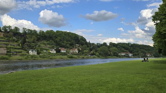
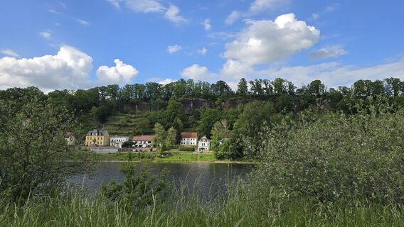
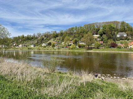
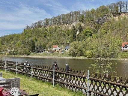
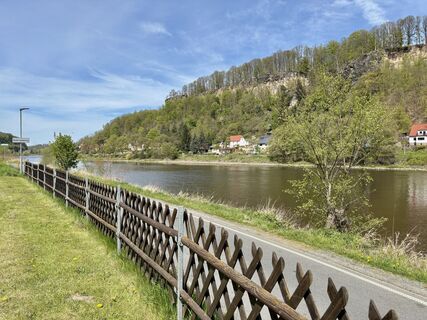
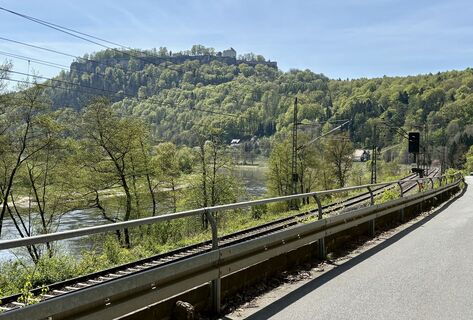
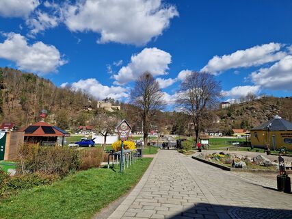
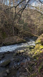
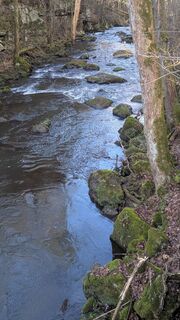
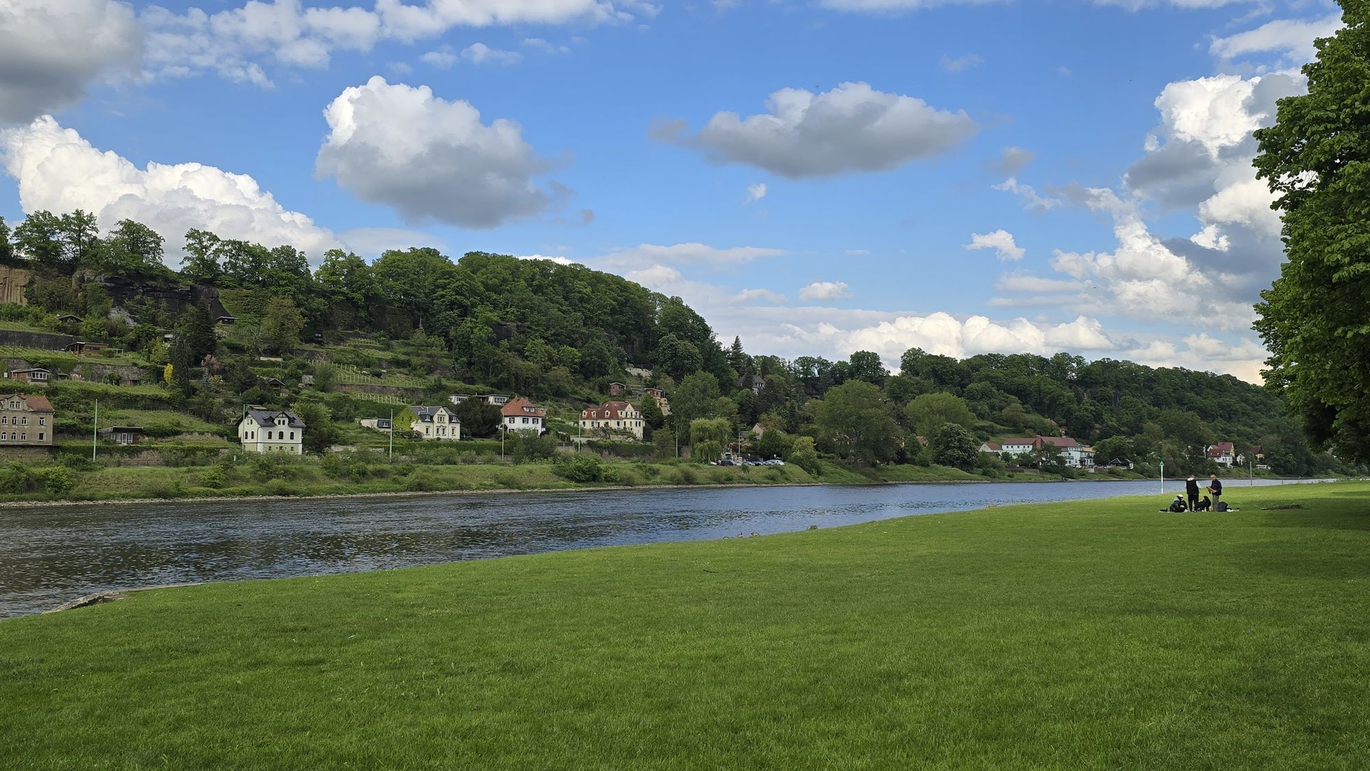
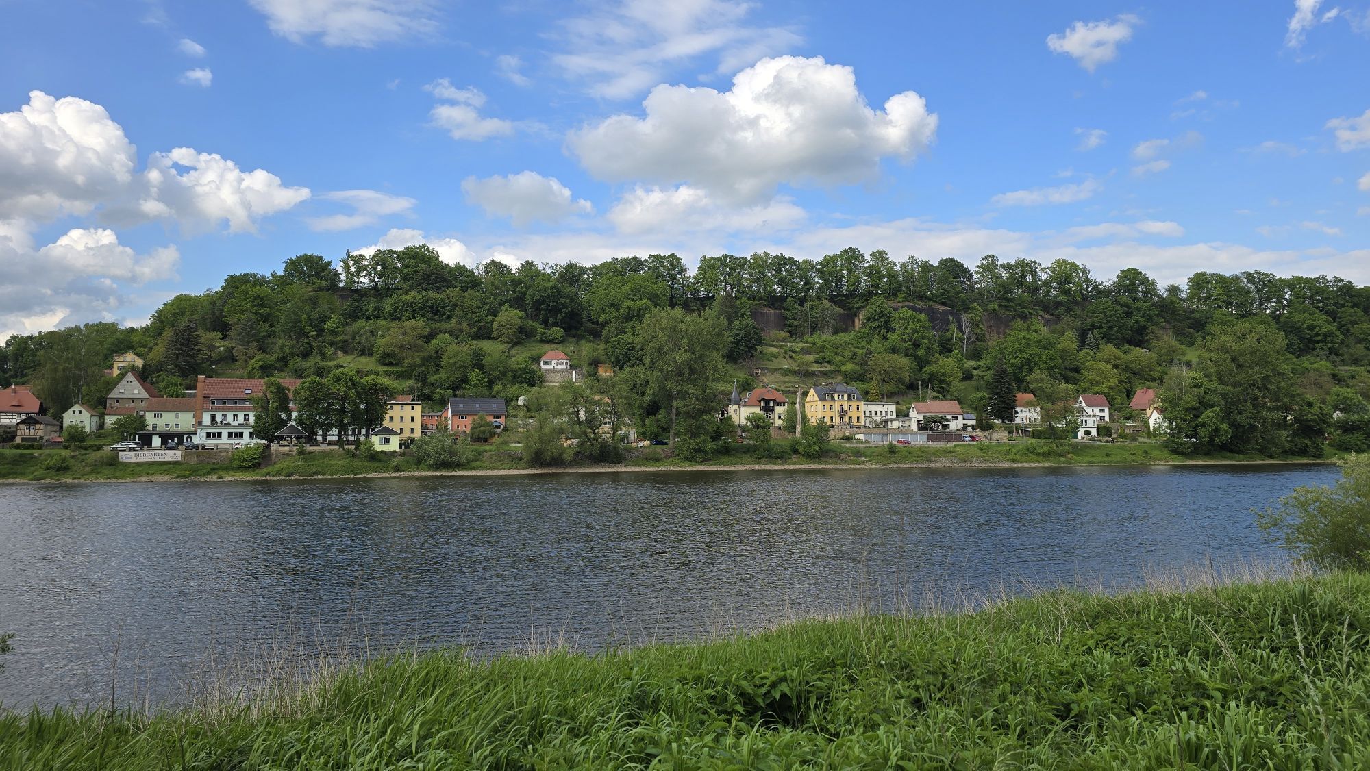
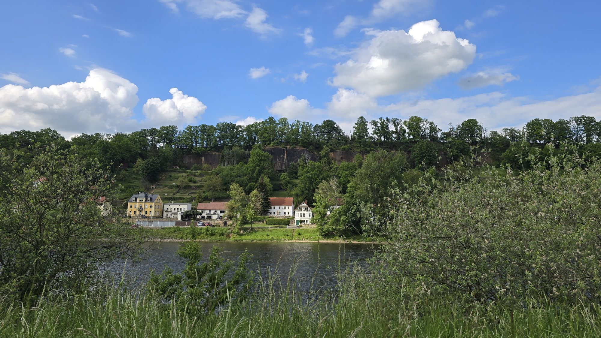
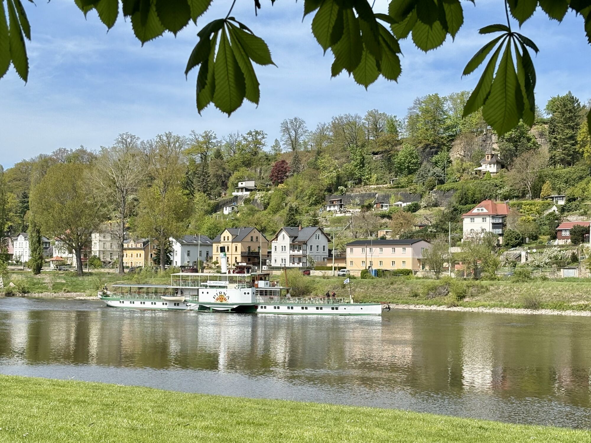
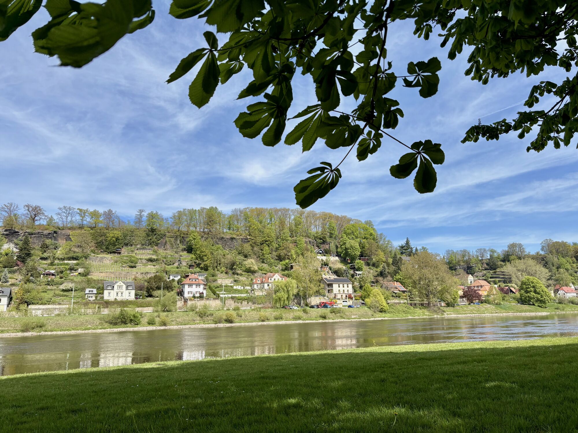
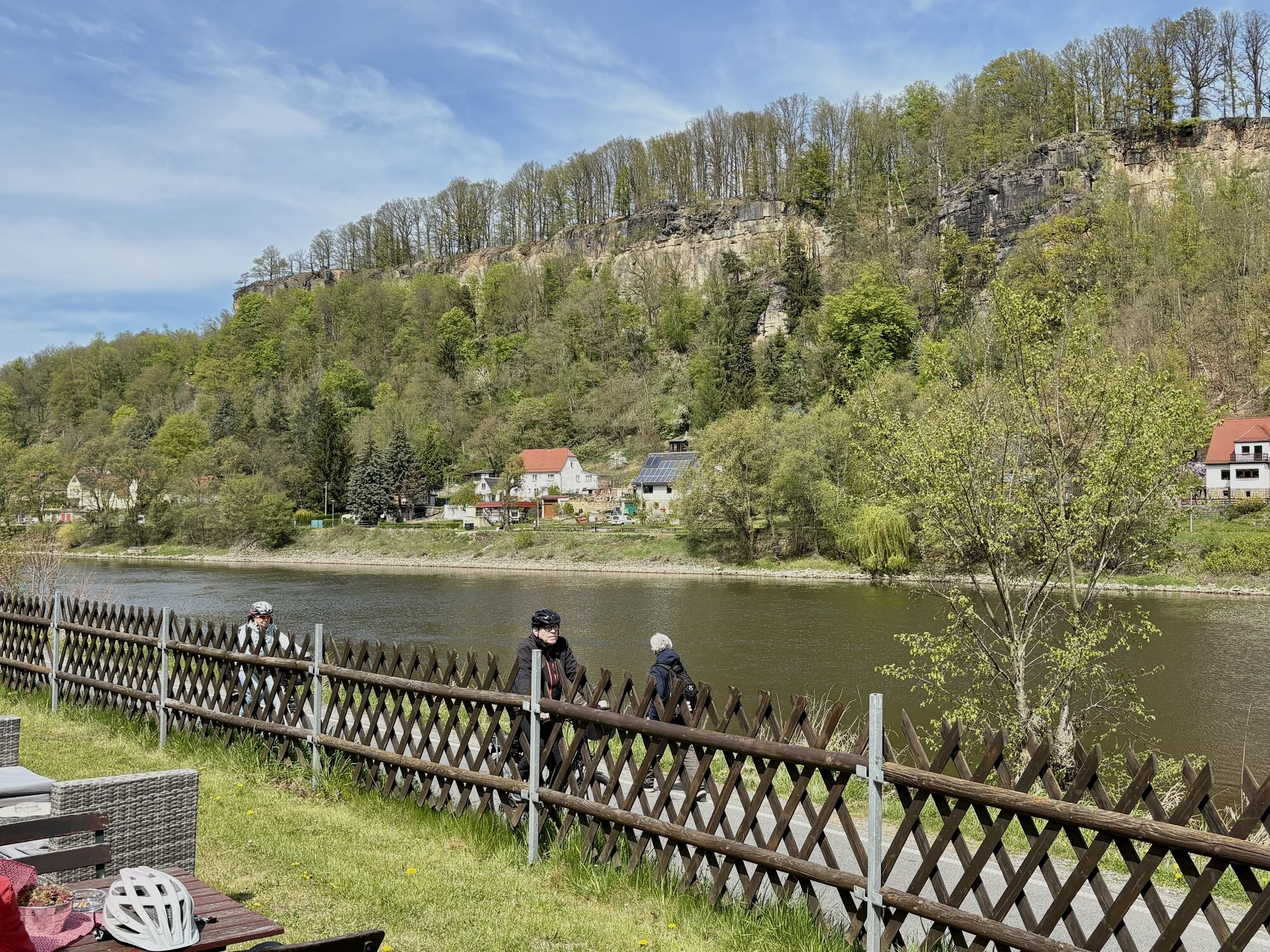
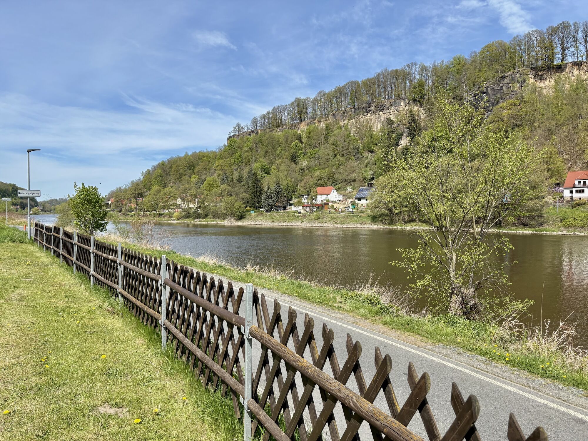
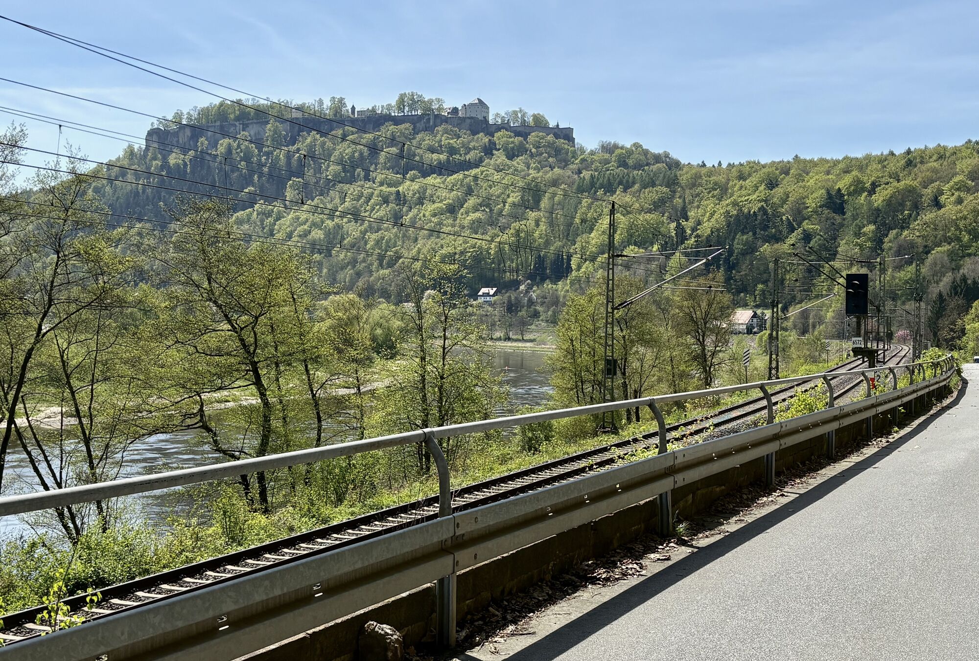
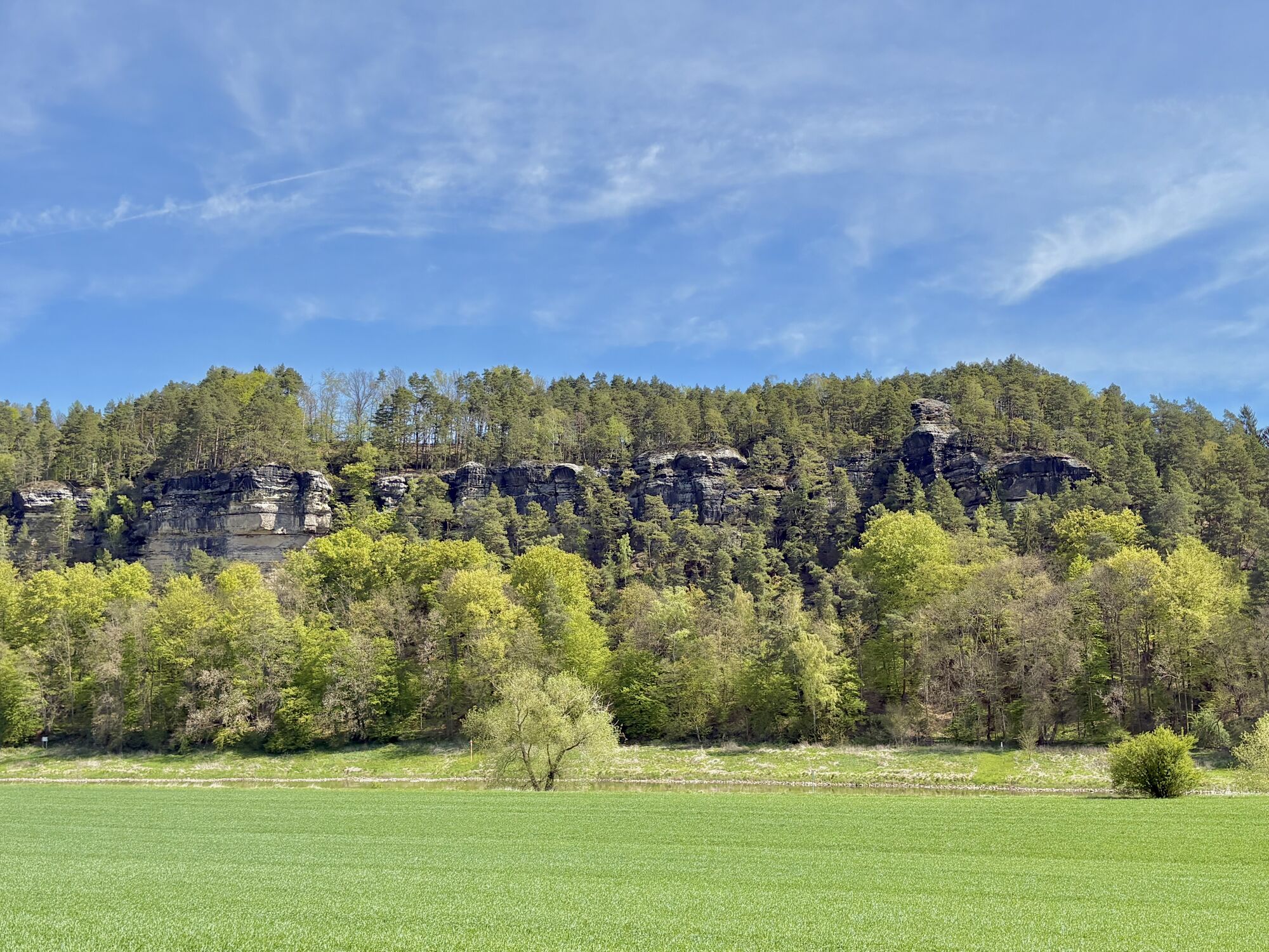
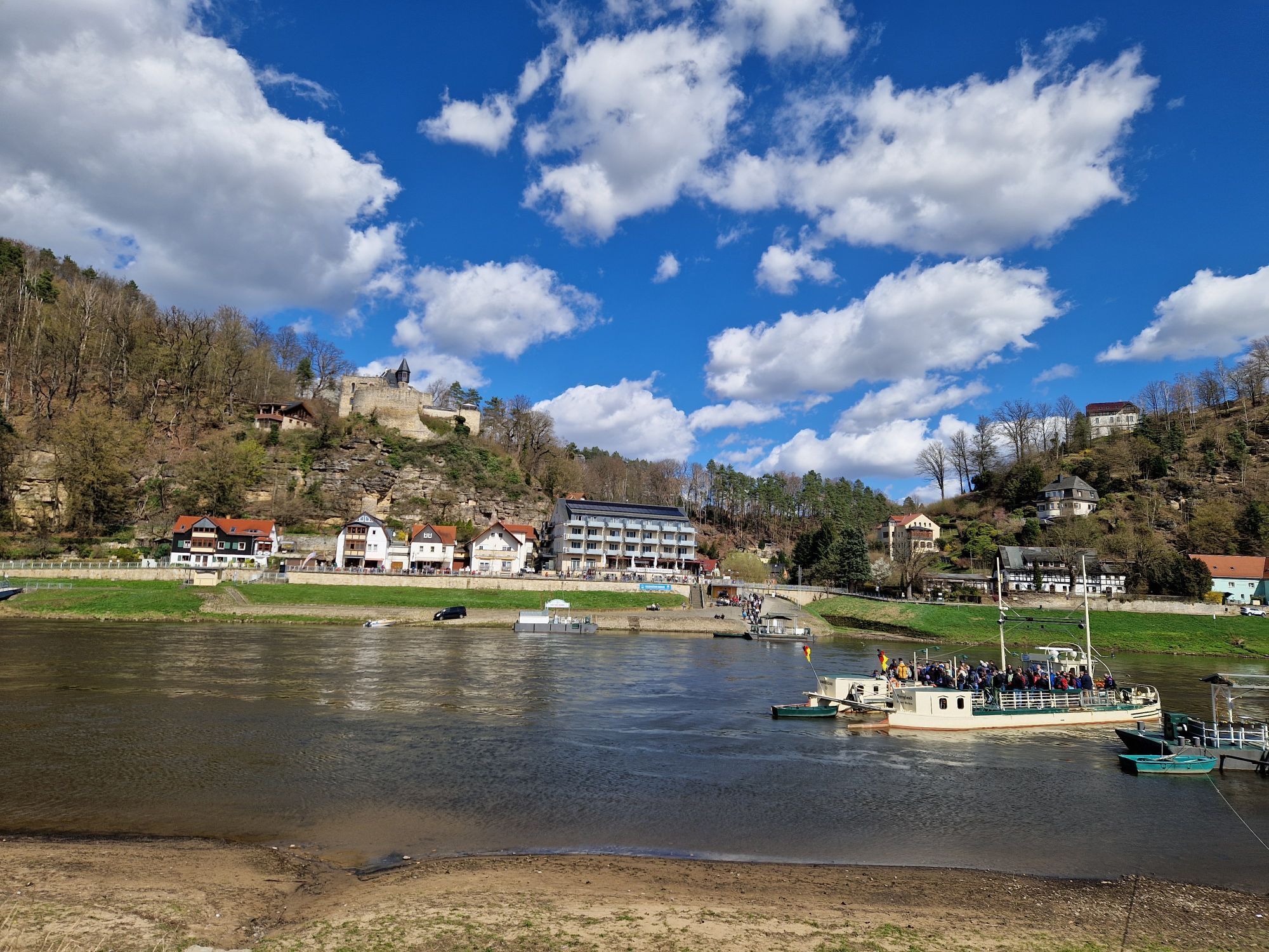
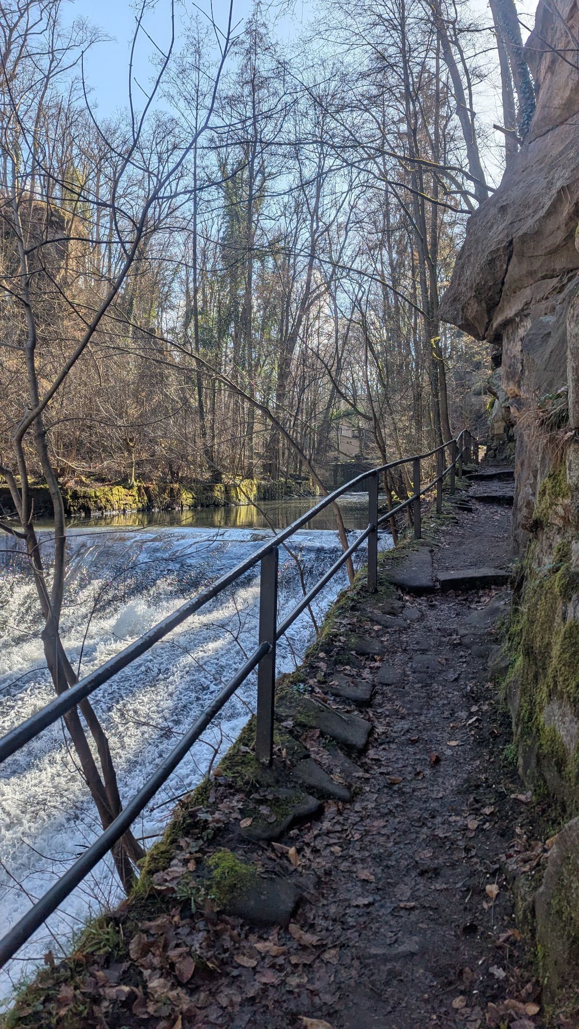
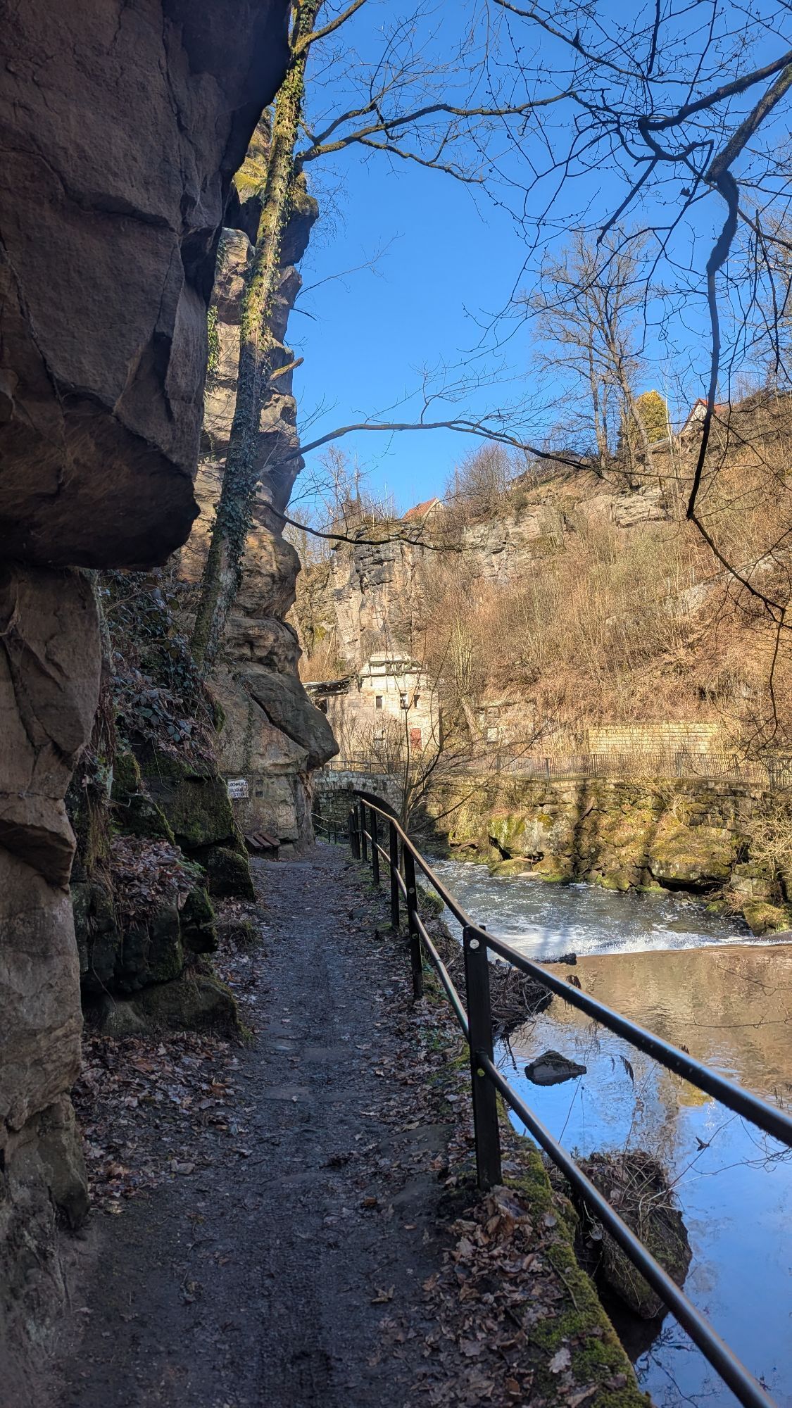
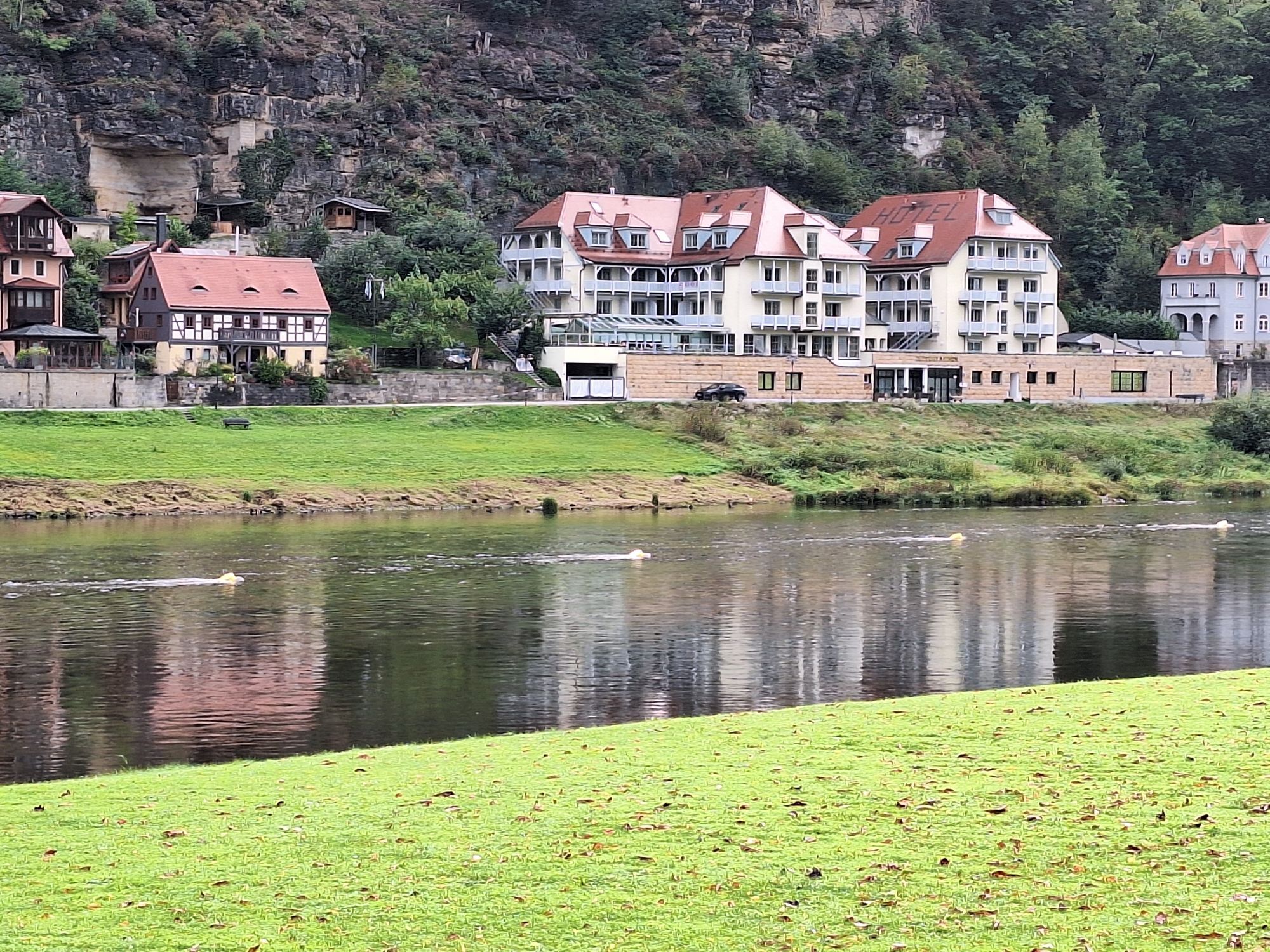
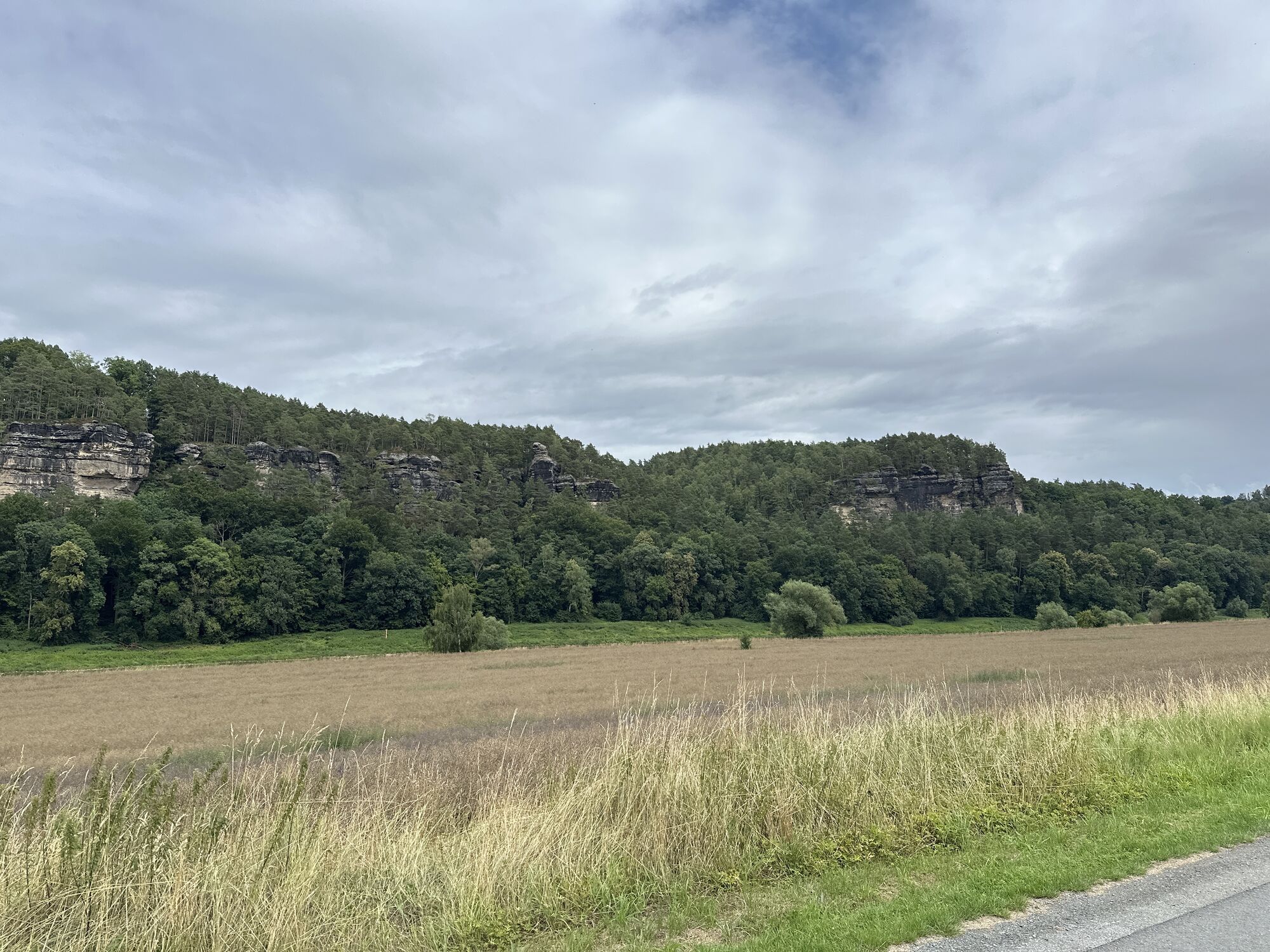
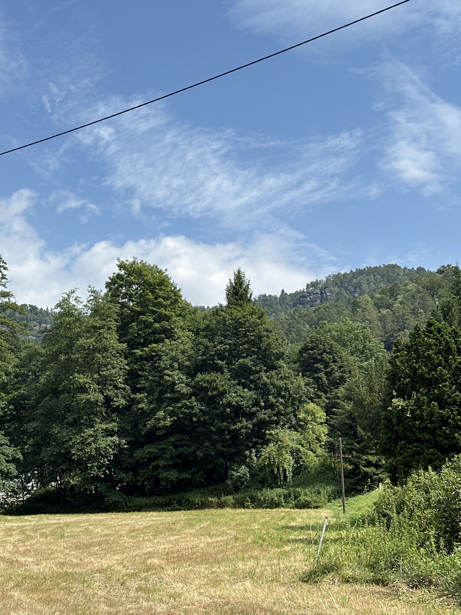
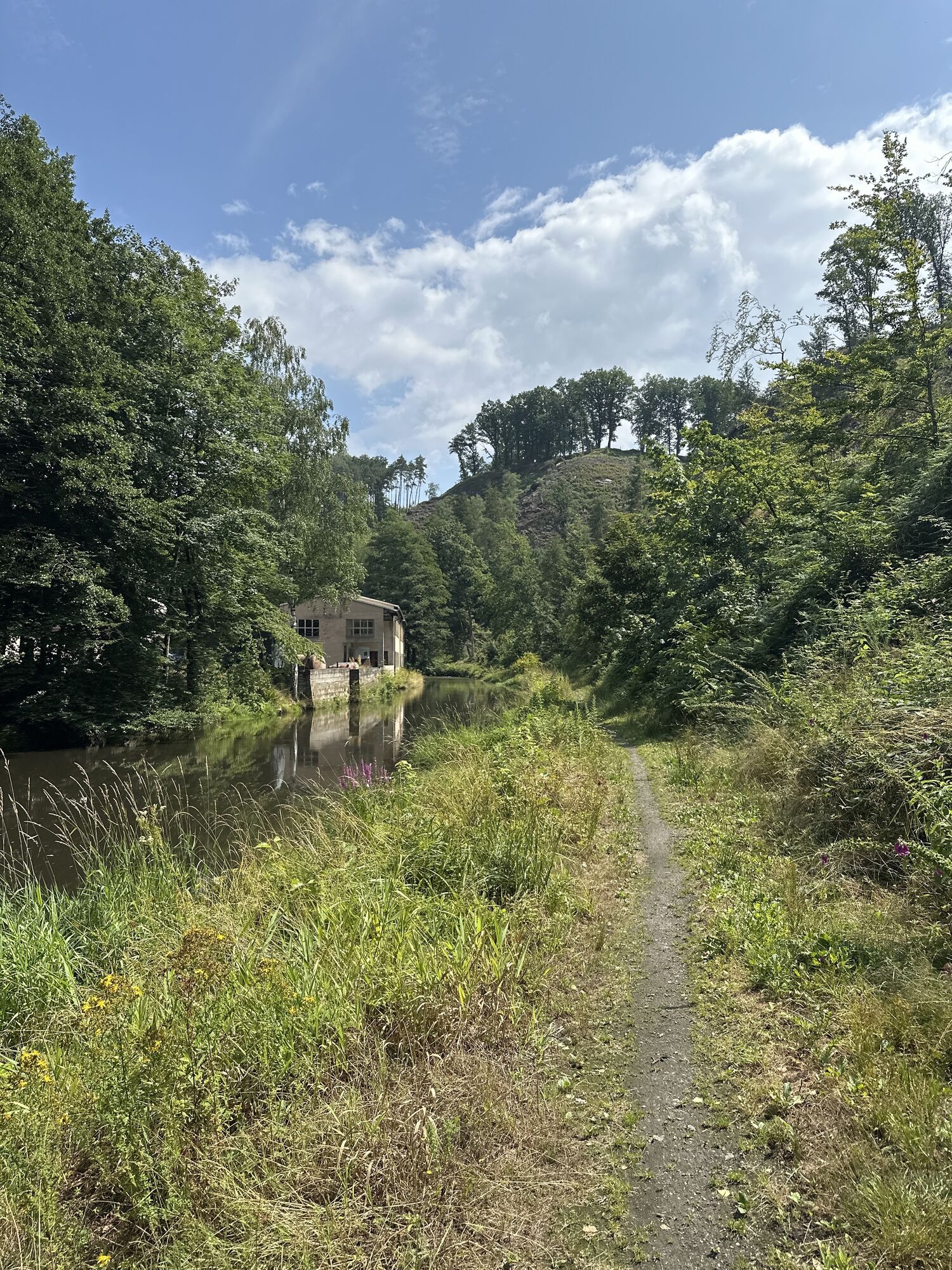
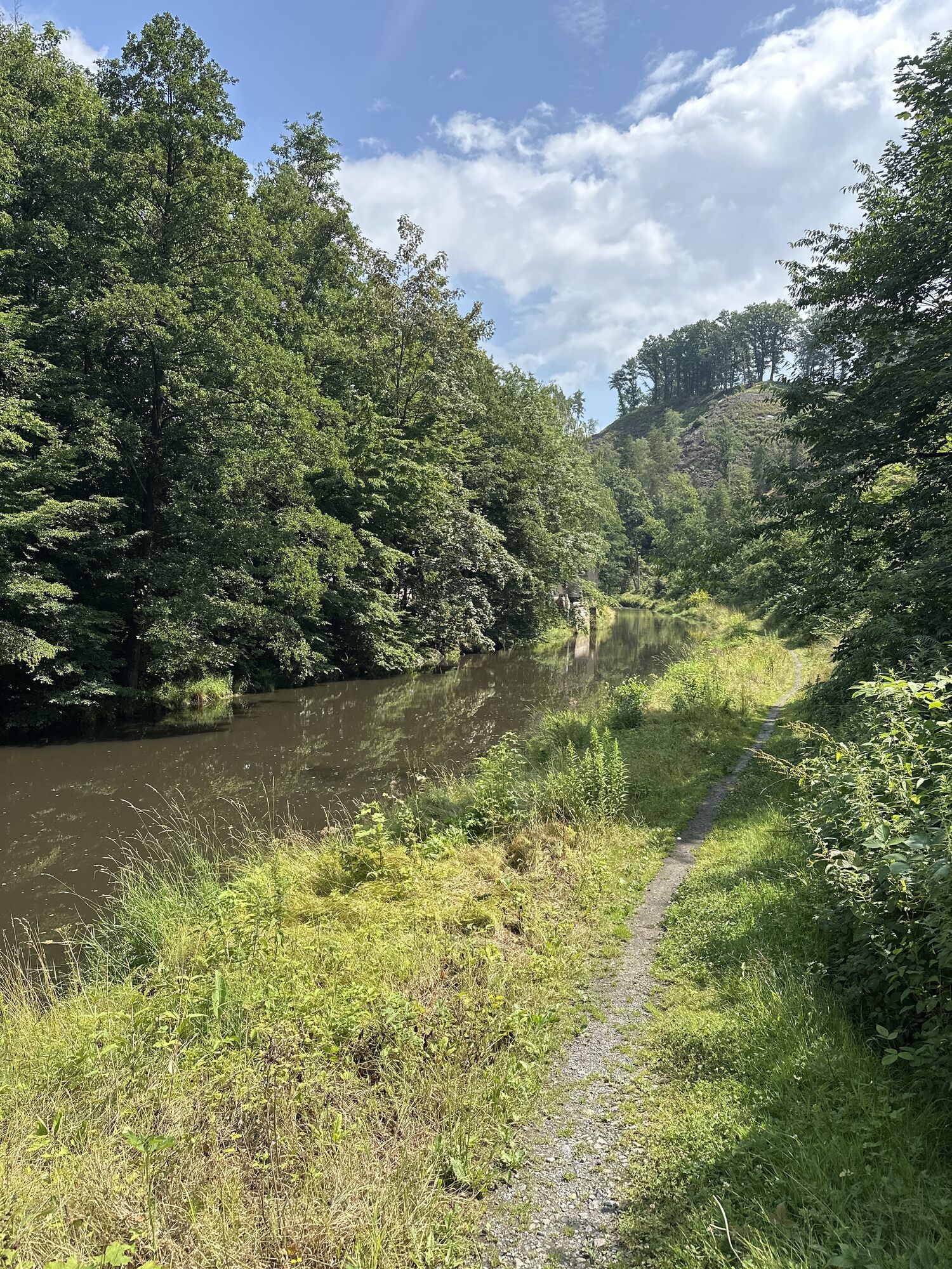
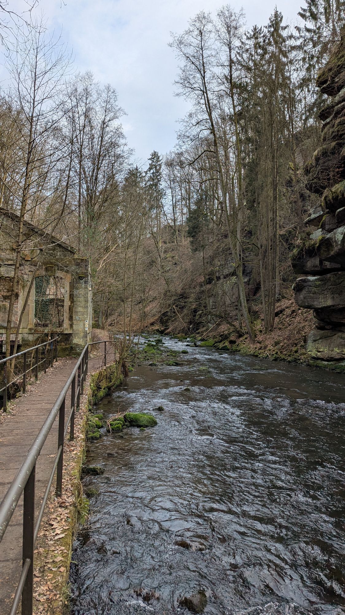
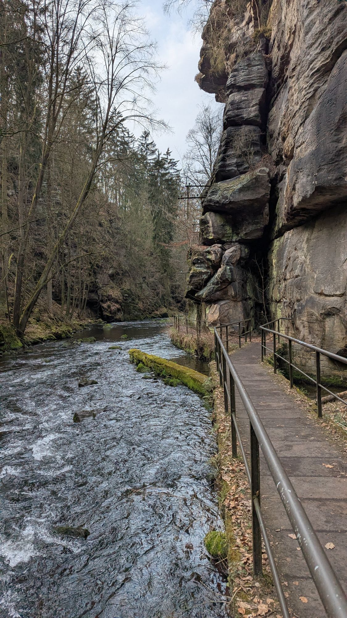
Once in Cunnersdorf, leave Polenzer Weg to the left and follow Bockmühlenstraße and, after crossing the S156 via Neustädter Straße, the idyllic farming village of Ehrenberg. At the village centre, the main road forks. At this point, cycle along the main road on the right for a few metres and then turn onto Hofehainweg. Follow this short path until the next opportunity to turn left. Follow this path until you reach Goßdorf, but in between you have the chance to explore the Gickelsberg (414m), a 25 million year old volcanic vent that has weathered away in the meantime. In Kohlmühle you turn right and cycle along the Sebnitz via Porschdorf and Rathmannsdorf to Bad Schandau. Here you cross the Elbe over the bridge and can either take the S-Bahn back to Pirna or use the Elbe cycle path on the left bank to Pirna. On the Elbe cycle path section between Bad Schandau and Pirna you can enjoy the enchanting landscape of the Elbe valley and have a great view of e.g. the Lilienstein, the Bastei or the Königstein fortress. There are also many opportunities to rest and explore.
P+R Carpark trainstation Pirna
Webcams de la tournée
-
Krippen - Hönel Hof
-
Götzinger Höhe
-
Götzinger Höhe
-
Götzinger Höhe
-
Götzinger Höhe
-
Götzinger Höhe
-
Burgstadt Hohnstein
-
Burgstadt Hohnstein
-
Burgstadt Hohnstein
-
Burgstadt Hohnstein
-
Nationalparkbahnhof
-
Aussichtsturm Rathmannsdorf
-
Aussichtsturm Rathmannsdorf
-
Oberrathen
-
Burg Altrathen
-
Burg Altrathen
-
Burg Altrathen
-
Burg Altrathen
-
Burg Altrathen
-
Pirna
-
Pirna
-
Burgstadt Hohnstein
Parcours populaires à proximité
-
4,6
Von Rathewalde zur Bastei
Randonnée 12,8 km -
4,7
Rathen / Hockstein / Bastei / Rathen
moyenRandonnée 14,4 km -
4,9
Rundwanderung Bastei Schwendenlöcher -Amselsee
facileRandonnée 6,21 km -
5,0
Basteibrücke
facileRandonnée 2,31 km -
4,7
Pfaffenstein Sachsen/Deutschland
moyenRandonnée 3,89 km -
5,0
Lilienstein
facileRandonnée 3,75 km -
5,0
entlang der Schrammsteine, Breite Kluft, Affenwand
moyenRandonnée 11,6 km -
5,0
Bad Schandau, Schrammsteinrunde
moyenRandonnée 11,0 km -
4,9
Polenztal-Runde
moyenRandonnées d'hiver 13,9 km -
5,0
Rauenstein von Weißig
moyenRandonnée 4,35 km

Randonnée et suivi


Ne manquez pas les offres et l'inspiration pour vos prochaines vacances
Votre adresse électronique a été ajouté à la liste de diffusion.