© Naheland-Touristik GmbH - P. Bender
© Naheland-Touristik GmbH - P. Bender
© Naheland-Touristik GmbH - P. Bender

© Naheland Touristik GmbH - P. Bender
© Naheland Touristik GmbH - P. Bender
- Brève description
-
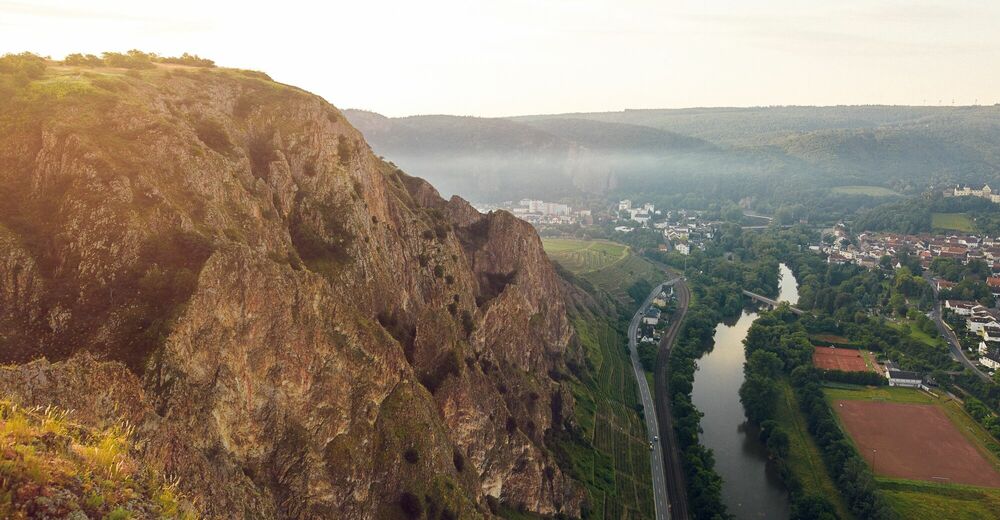
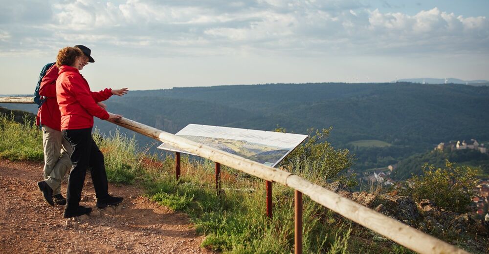
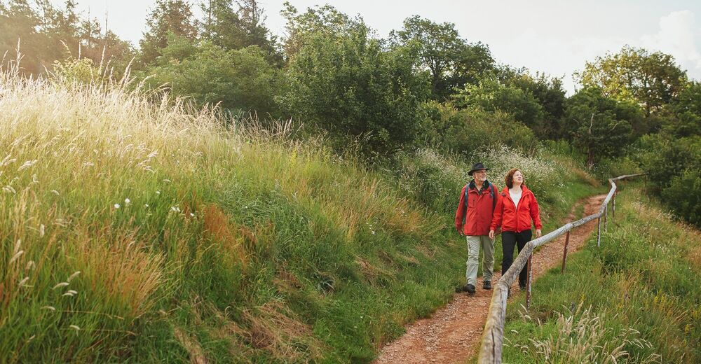
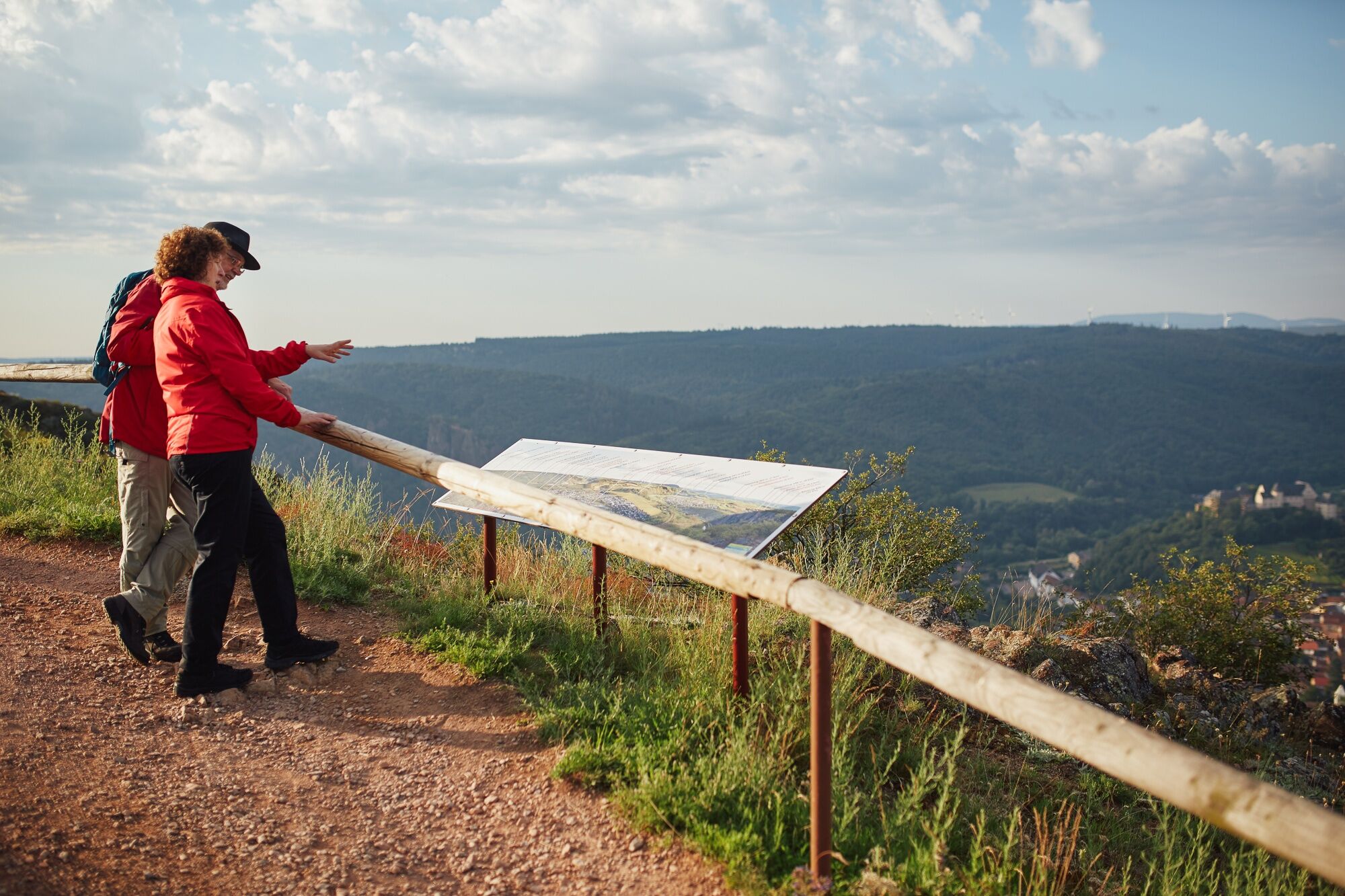
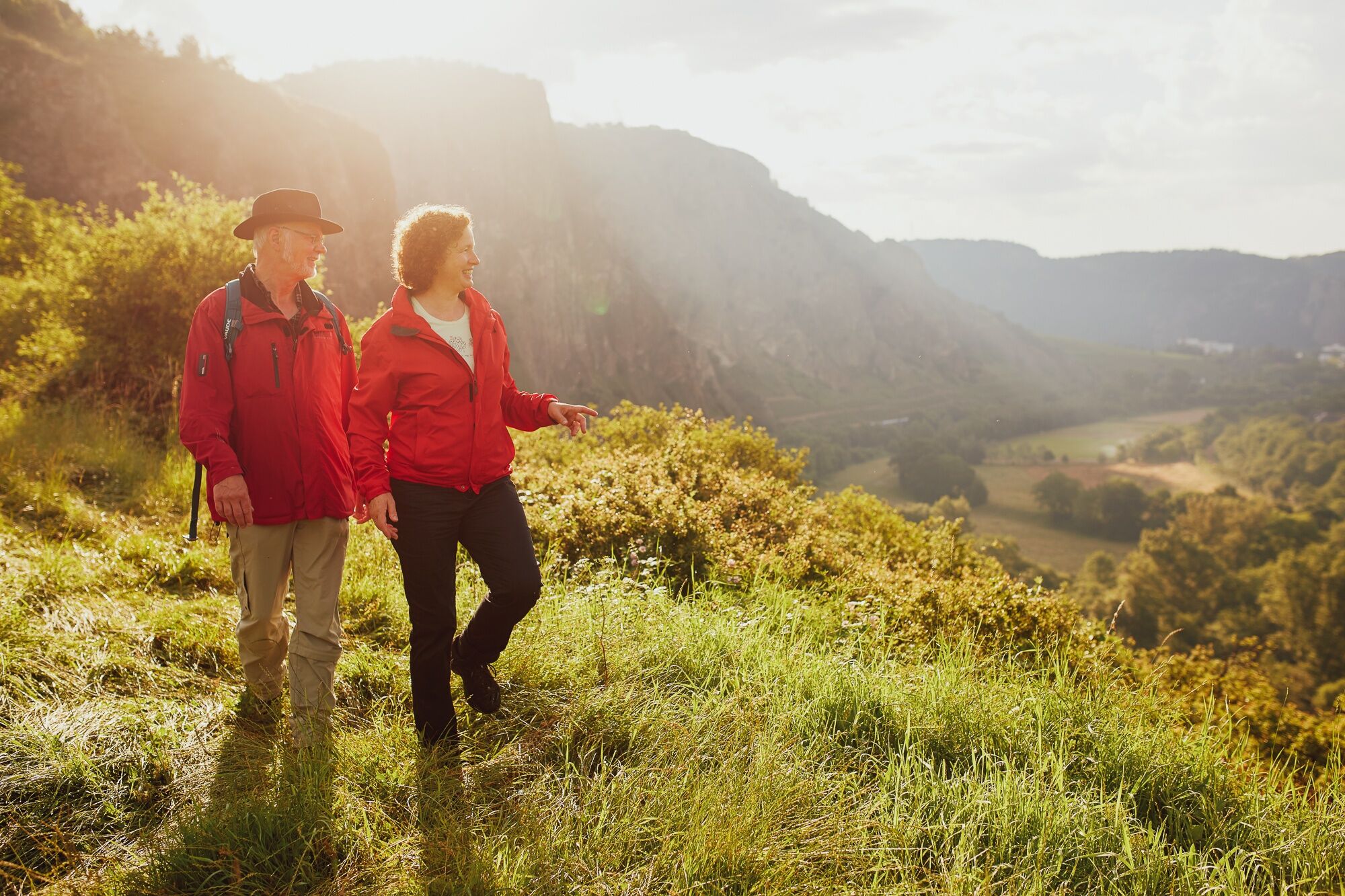
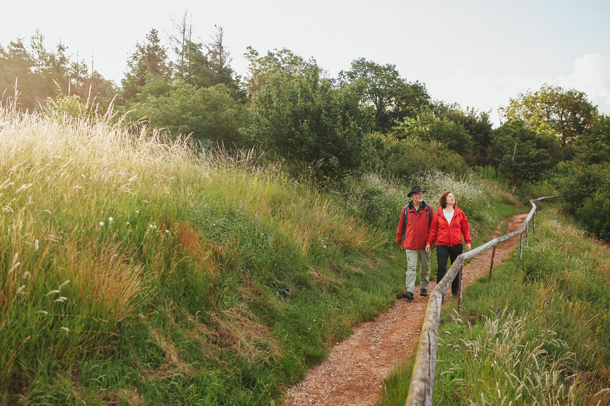
Walk on the Rotenfels plateau along the largest steep face in Central Europe, through oak and beech forest. Enjoy the magnificent distant view of the Northern Palatinate Mountains.
- Difficulté
-
facile
- Évaluation
-
- Parcours
-
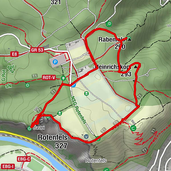
Zur Bastei0,1 kmRabenfels (290 m)0,8 kmBad Kreuznach (104 m)0,8 kmHeinrichskopf (293 m)1,3 kmRotenfels (327 m)2,0 kmPanoramatafel2,1 kmBastei (300 m)2,6 km
- Meilleure saison
-
janv.févr.marsavrilmaijuinjuil.aoûtsept.oct.nov.déc.
- Hauteur maximale
- 317 m
- Point de mire
-
55595 Traisen | Carpark Rotenfels (K 80)
- Profil en hauteur
-
 © outdooractive.com


- Auteur
-
La randonnée 3x3 Saline Valley - Introtour Rotenfels est utilisé par outdooractive.com fourni par.
GPS Downloads


Autres parcours dans les régions