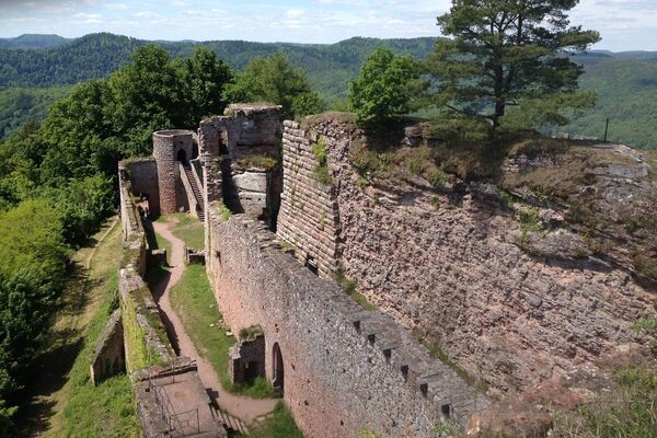
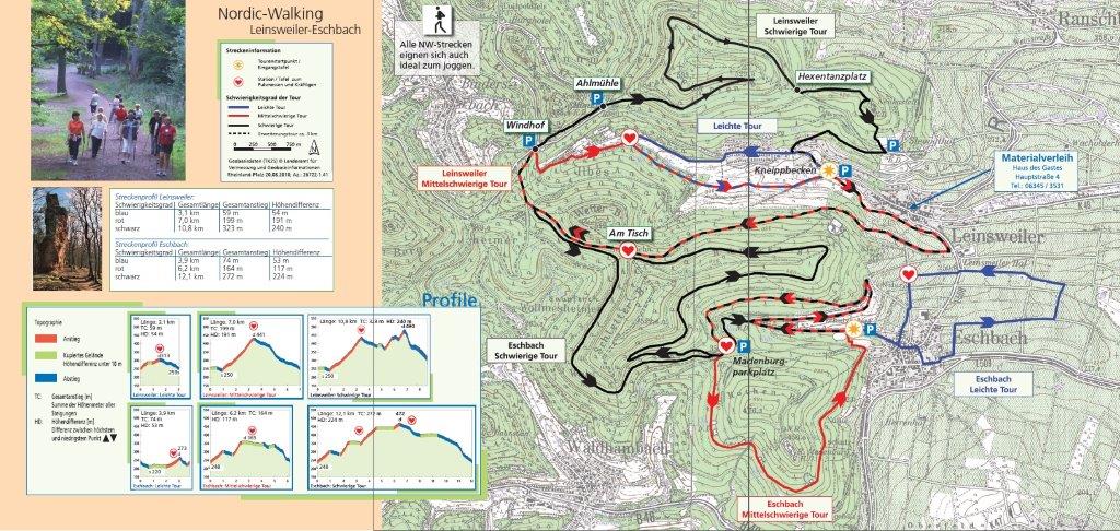
Leinsweiler Nordic-Walking mittelschwierige Tour

Marche nordique


- Brève description
-
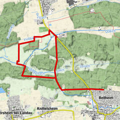
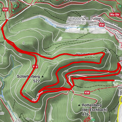
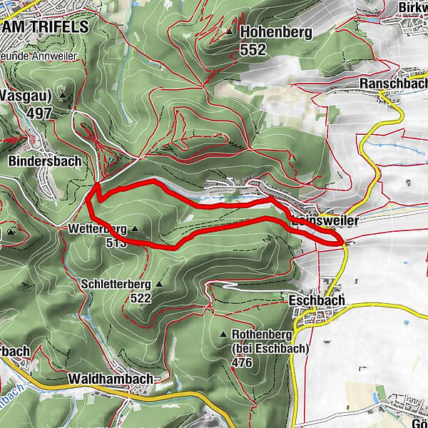
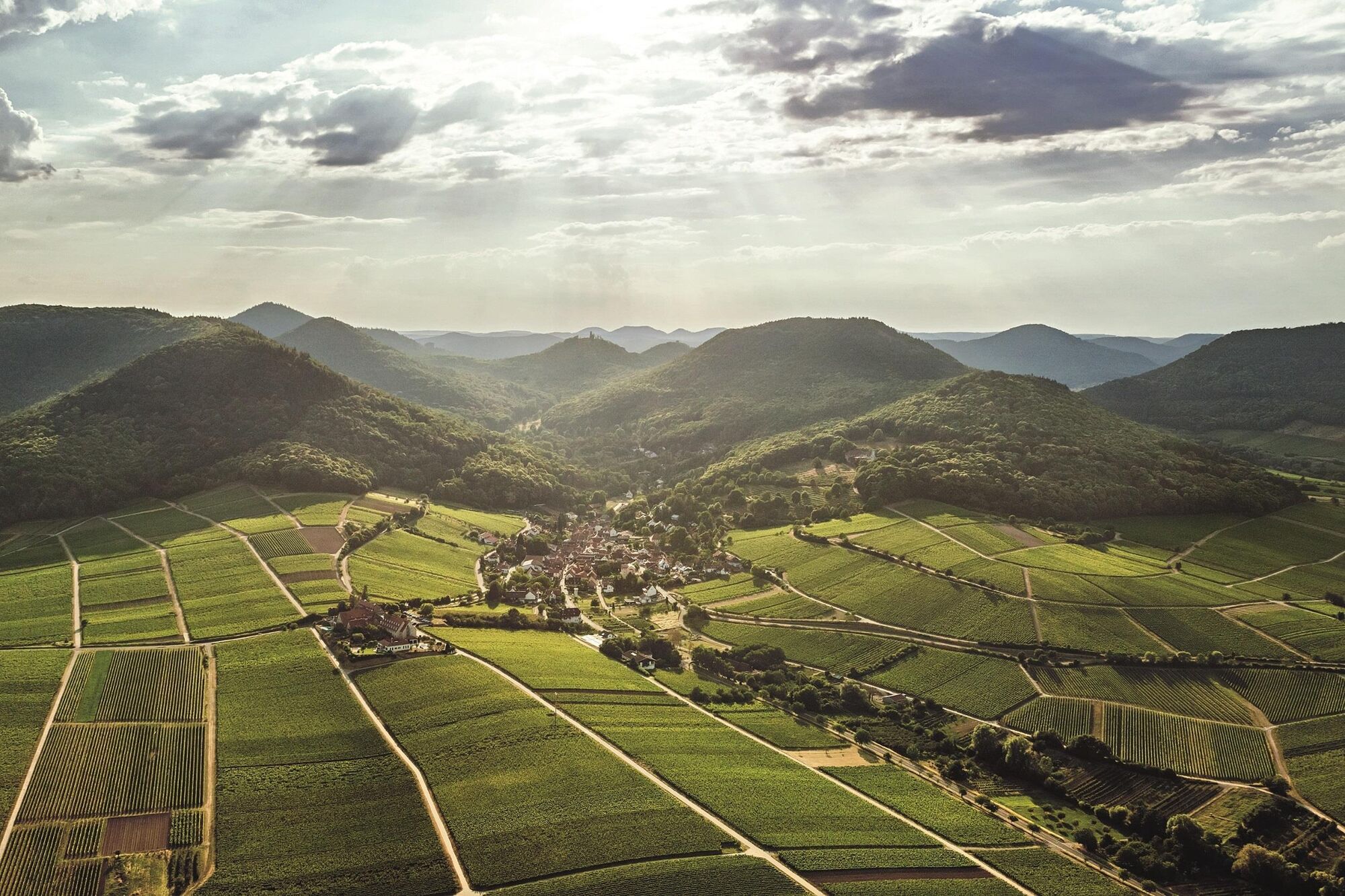
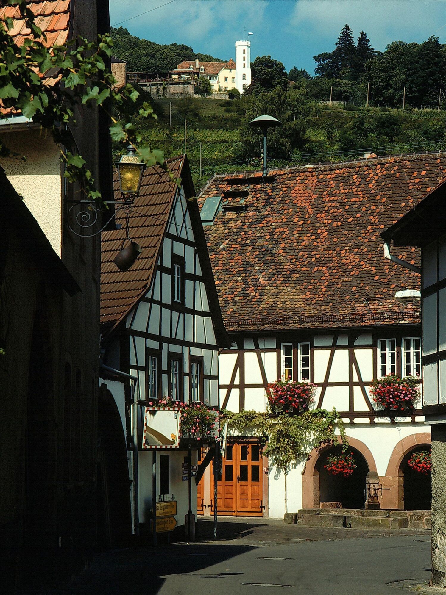
Die 7 km-lange Walkingtour vorbei an Leinsweiler hoch zum "Leinsweiler Hof" führt dann durch das UNESCO Biosphärenreservat Pfälzerwald vorbei "Am Tisch", wendet dann am Parkplatz Windhof und endet wieder am Leinsweiler Kneippbecken.
- Difficulté
-
moyen
- Évaluation
-
- Parcours
-
Leinsweiler (263 m)0,7 km
- Meilleure saison
-
janv.févr.marsavrilmaijuinjuil.aoûtsept.oct.nov.déc.
- Hauteur maximale
- 436 m
- Point de mire
-
Kneippbecken Leinsweiler
- Profil en hauteur
-
 © outdooractive.com
-

-
AuteurLa randonnée Leinsweiler Nordic-Walking mittelschwierige Tour est utilisé par outdooractive.com fourni par.
GPS Downloads


Informations générales
Prometteur
Autres parcours dans les régions
-
Pfalz
74
-
Trifelsland
60
-
Landau in der Pfalz
17