© Pizolbahnen AG

© Pizolbahnen AG

© Pizolbahnen AG

© Pizolbahnen AG

© Pizolbahnen AG

© Pizolbahnen AG
© Pizolbahnen AG

© Pizolbahnen AG

- Brève description
-
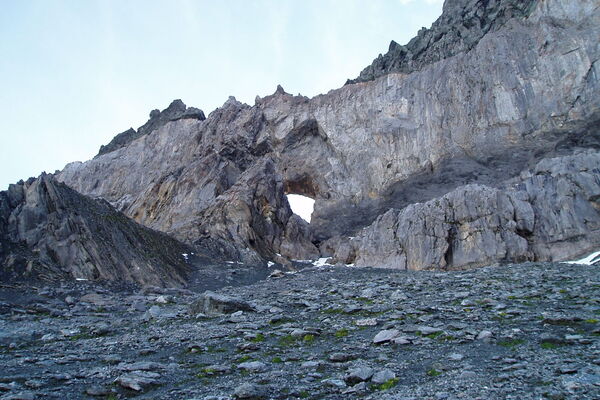
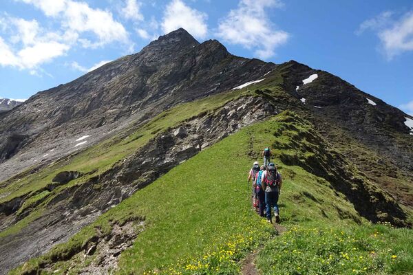
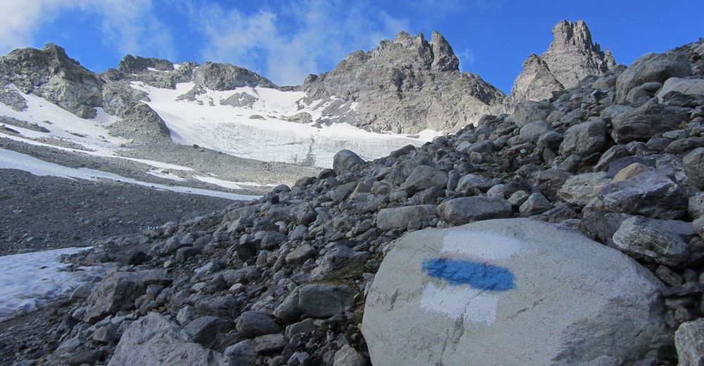
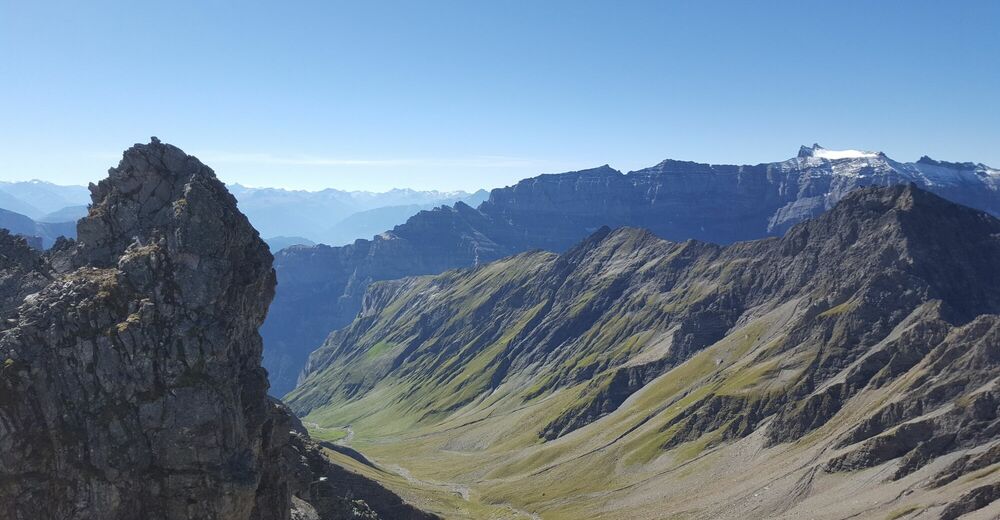
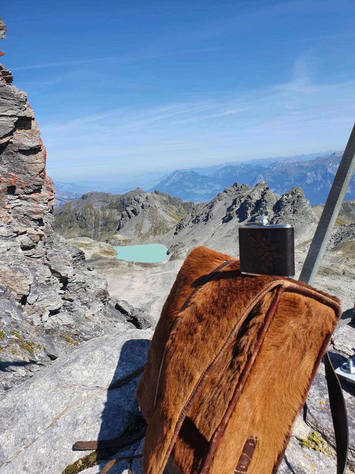
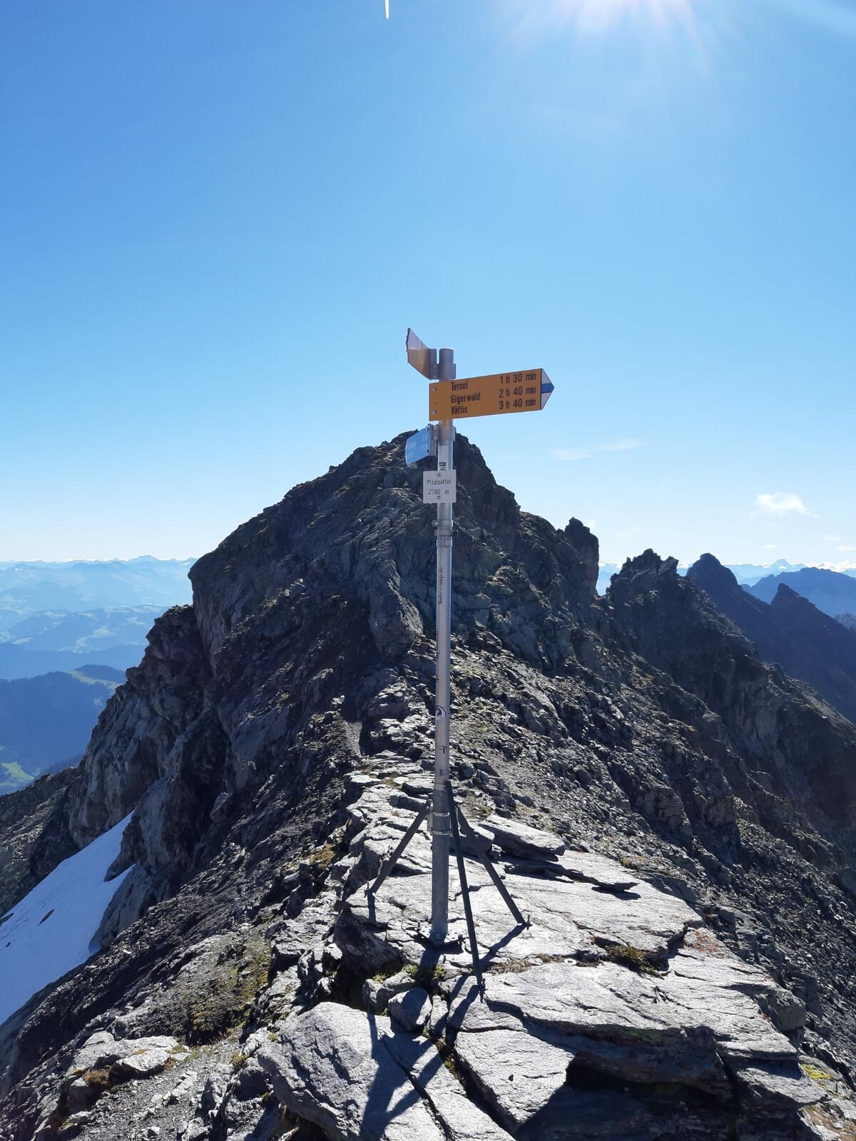
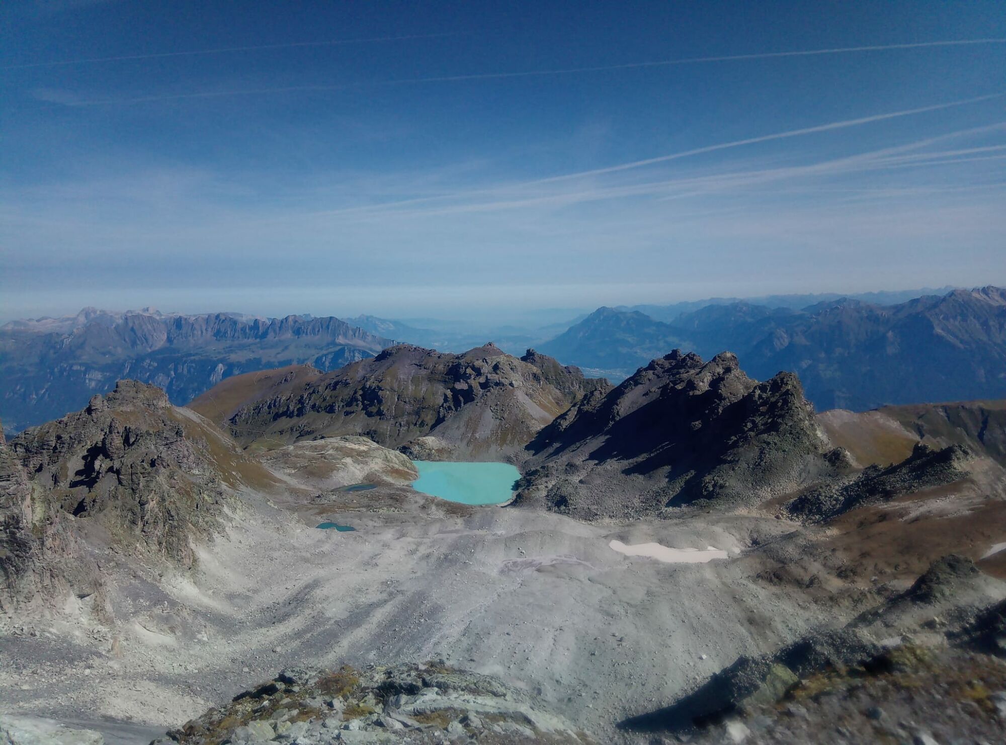
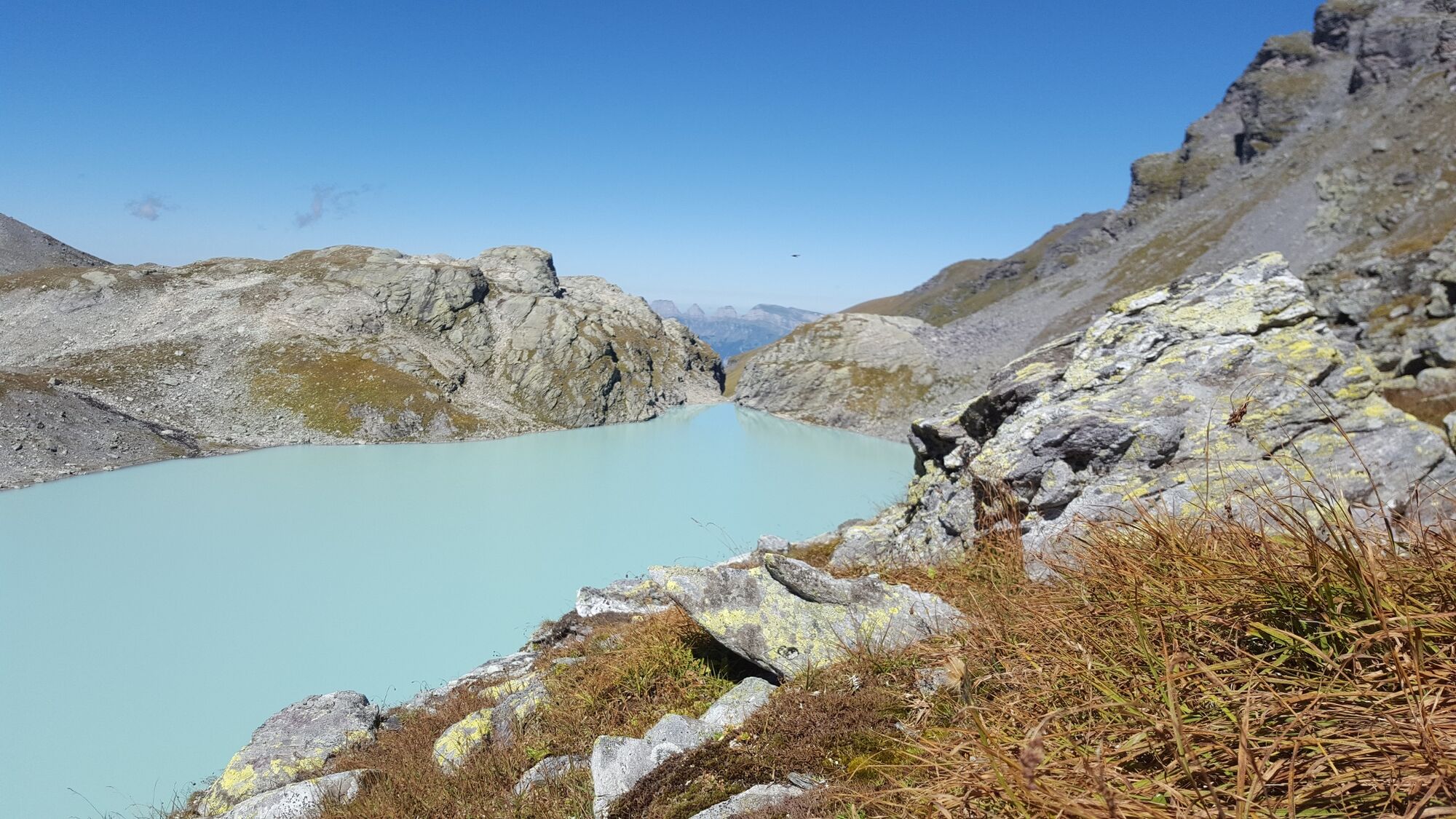
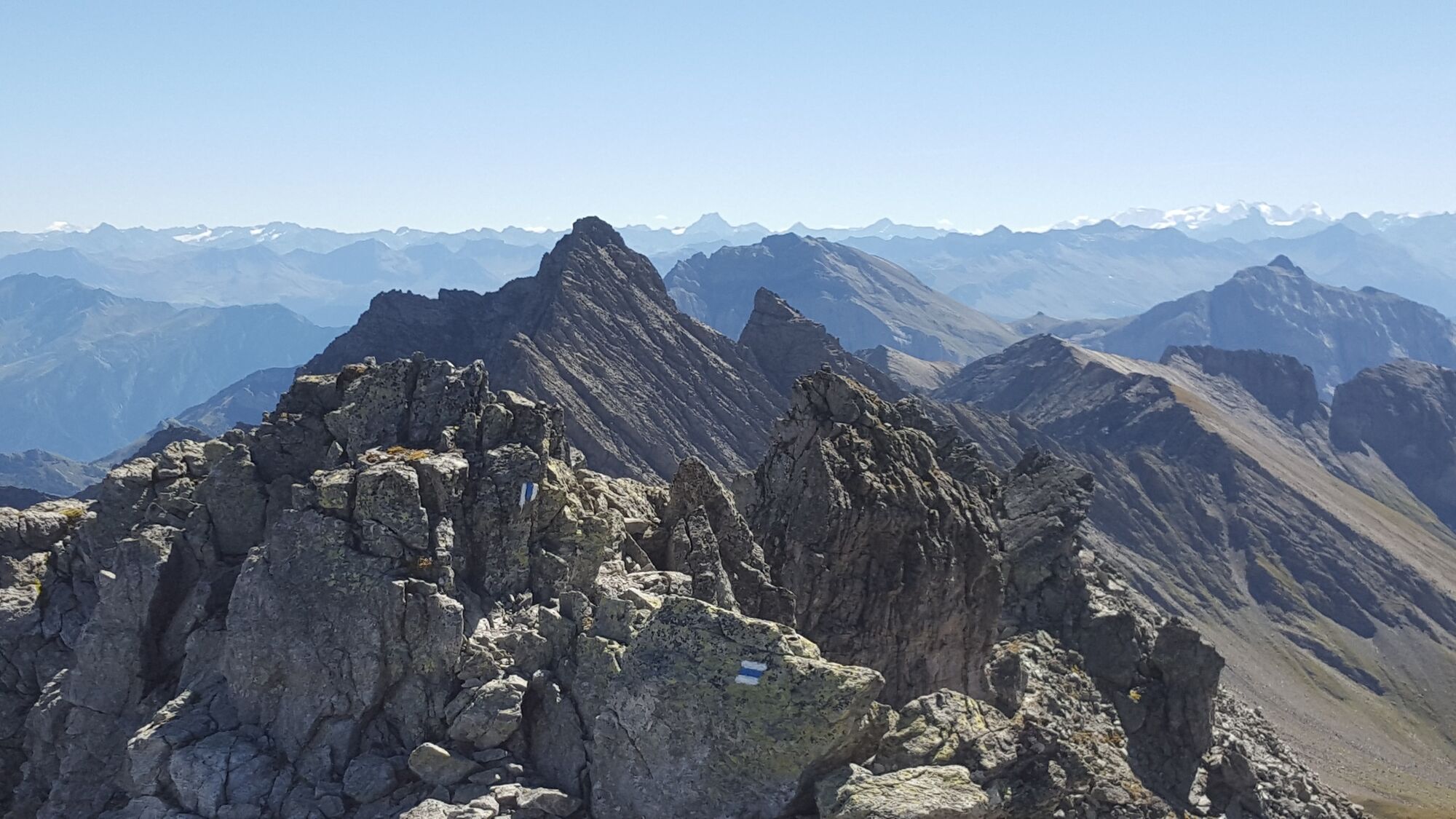
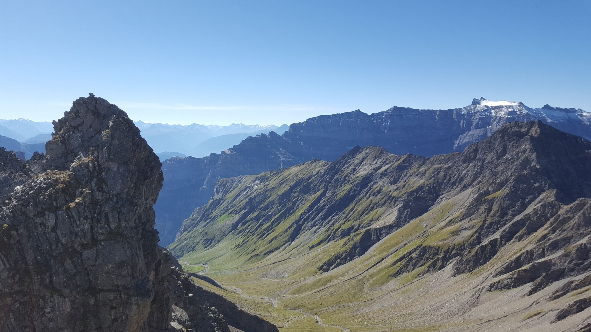
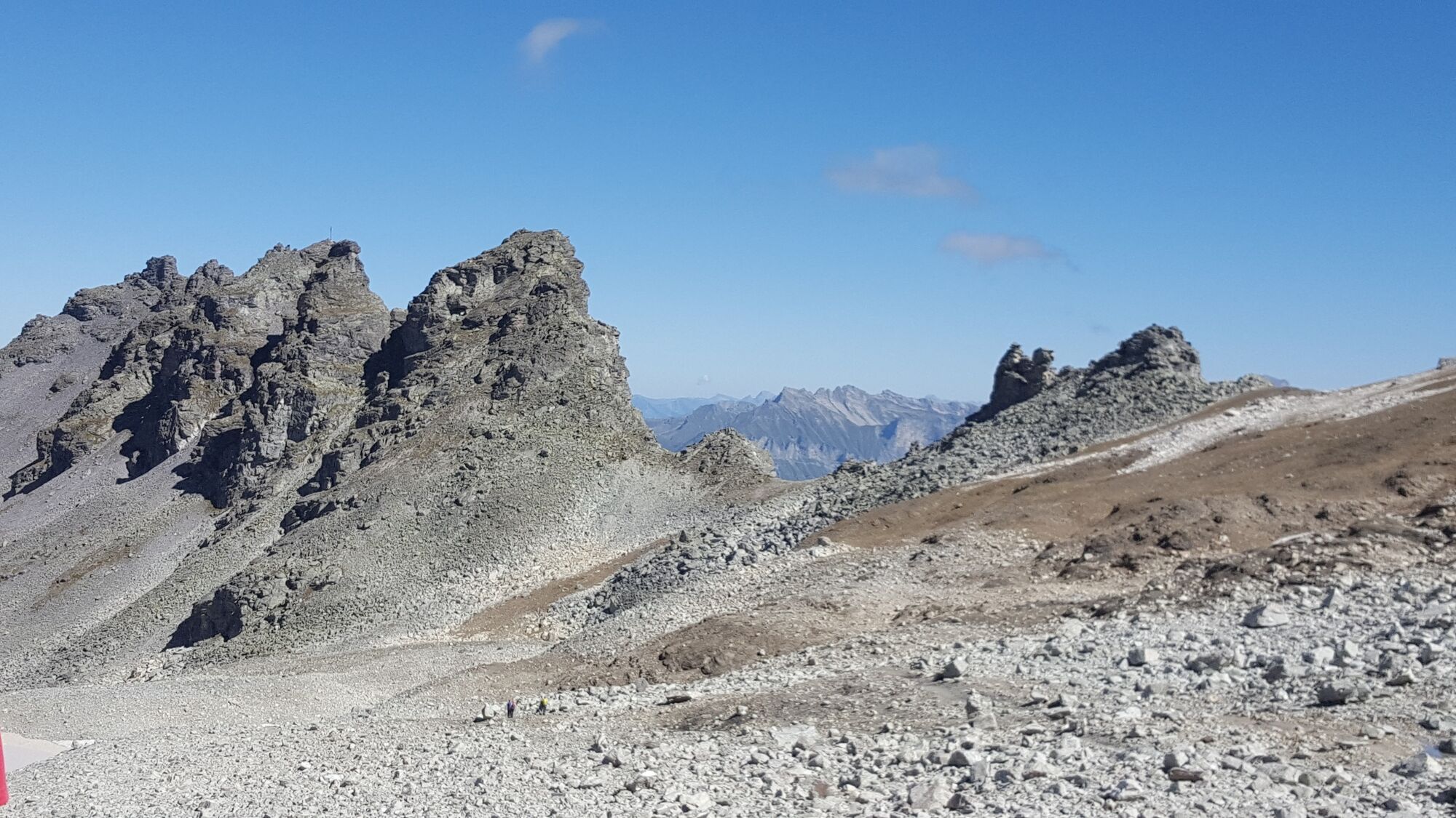
The Pizol peak rises majestically to 2,844 m above sea level. The alpine route leads past the famous Wildsee lake, along the remains of the Pizol glacier up to the summit.
- Difficulté
-
difficile
- Évaluation
-
- Parcours
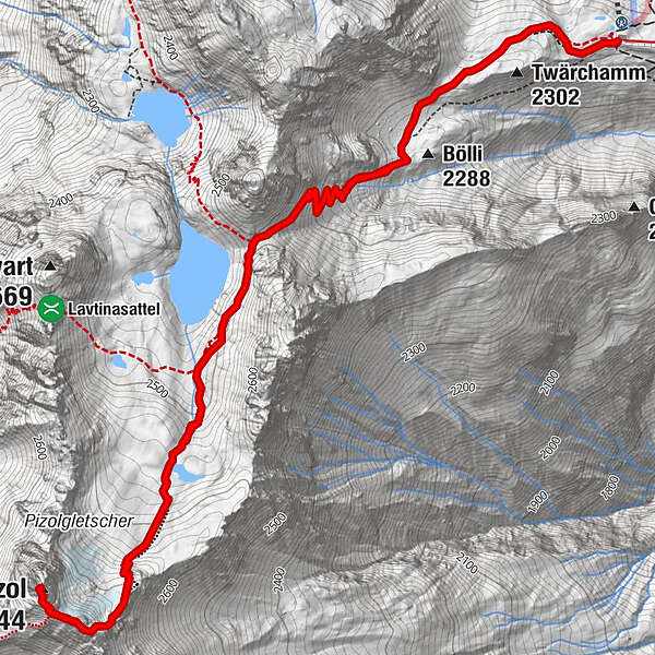
-
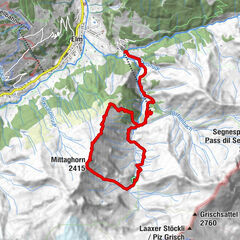
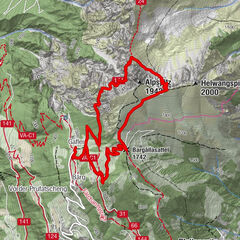
PizolhüttePizol (2.844 m)4,6 kmPizolhütte9,2 km
- Meilleure saison
-
janv.févr.marsavrilmaijuinjuil.aoûtsept.oct.nov.déc.
- Hauteur maximale
- 2.826 m
- Point de mire
-
Pizol hut, Wangs
- Profil en hauteur
-
 © outdooractive.com

- Auteur
-
La randonnée Pizol summit tour est utilisé par outdooractive.com fourni par.
GPS Downloads


Informations générales
Prometteur
Autres parcours dans les régions
-
Heidiland
2204
-
Bad Ragaz, Pizol und Umgebung
1004
-
Pizol
200