© Heidiland Tourismus - Sereina Jost
© Heidiland Tourismus - Sereina Jost
© Heidiland Tourismus - Sereina Jost

© Heidiland Tourismus - Sereina Jost
© Heidiland Tourismus - Thomas Kessler
© Heidiland Tourismus - Sereina Jost

- Brève description
-
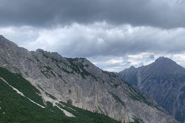
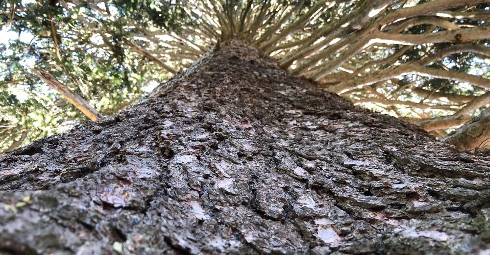
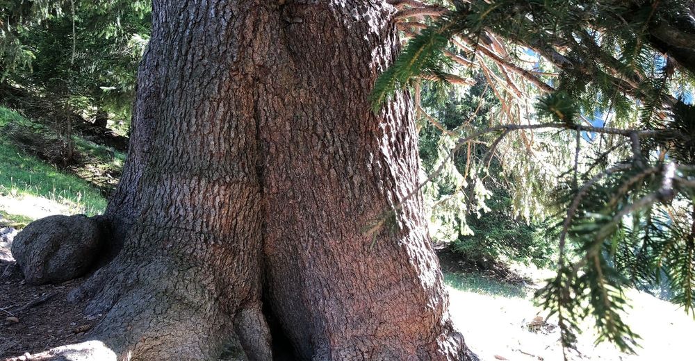
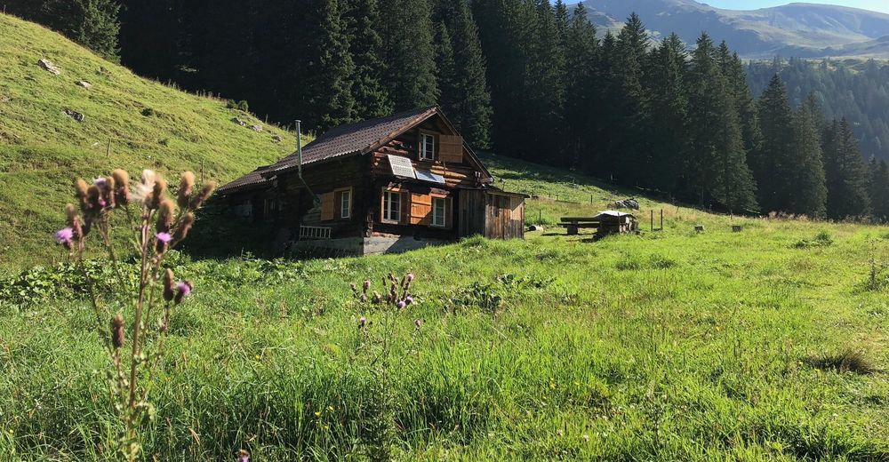
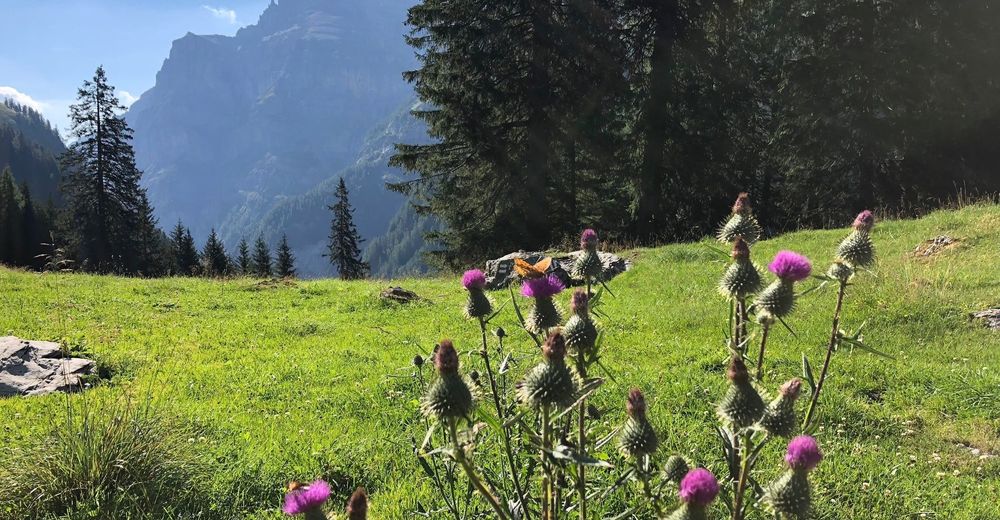
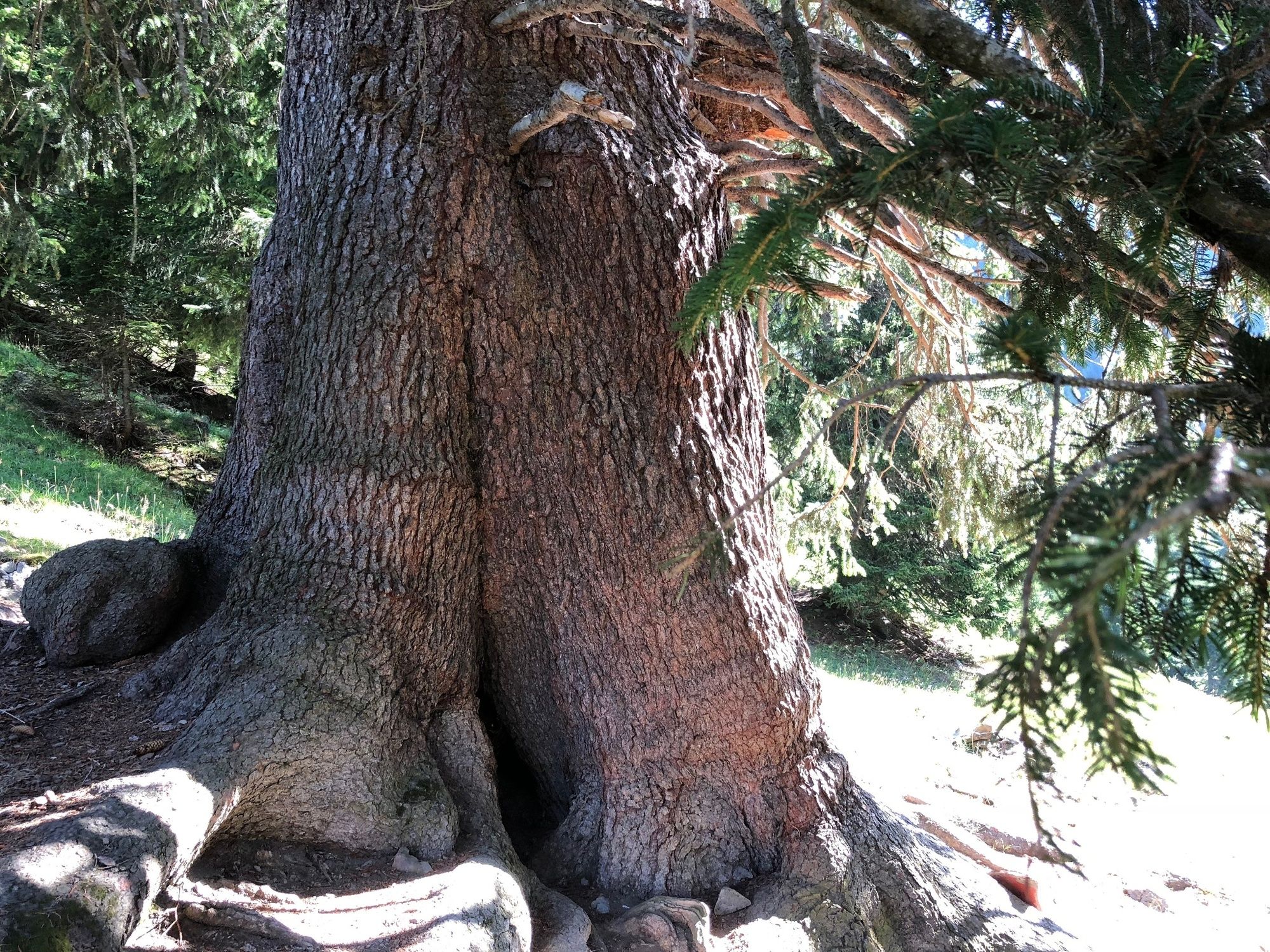
Marvel at the thickest fir in the world in the Calfeisen Valley!
- Difficulté
-
facile
- Évaluation
-
- Parcours
-
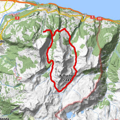
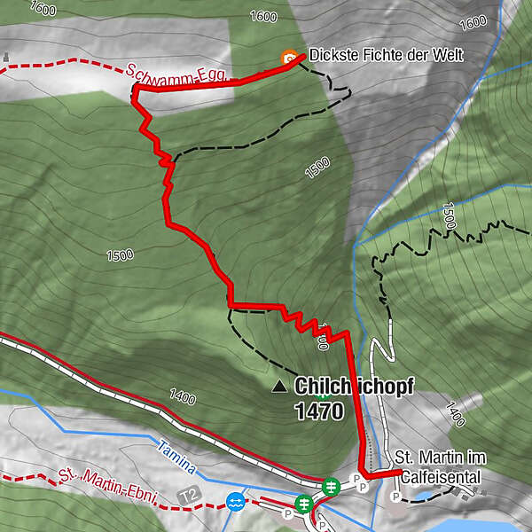
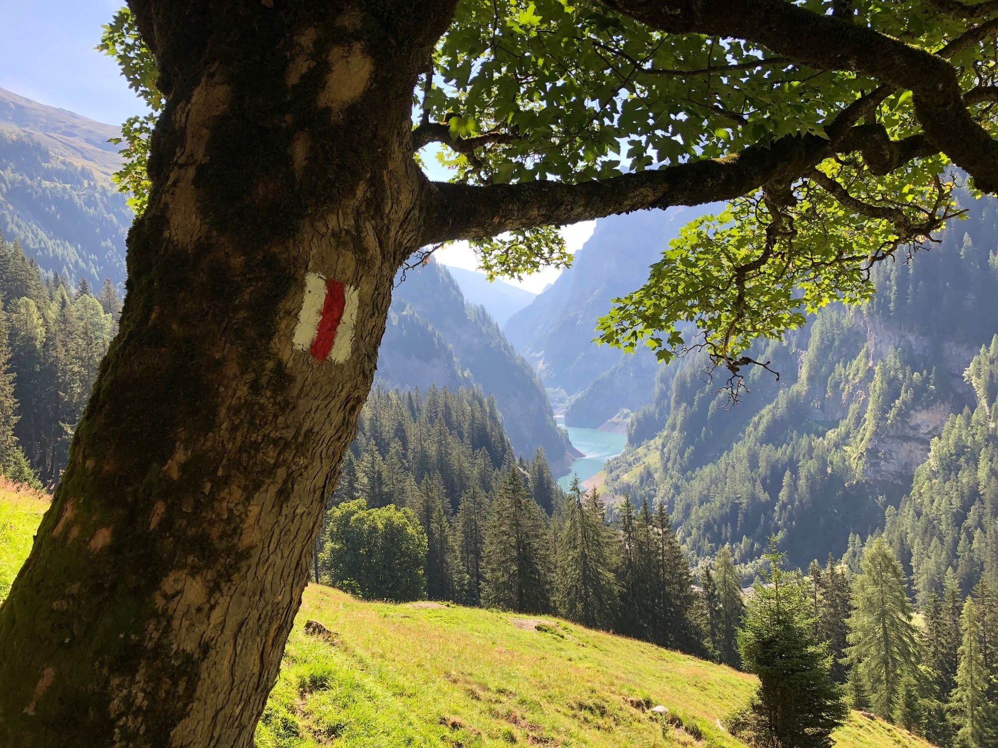
Chilchlichopf (1.470 m)0,3 kmSt. Martin im Calfeisental2,1 km
- Meilleure saison
-
janv.févr.marsavrilmaijuinjuil.aoûtsept.oct.nov.déc.
- Hauteur maximale
- 1.573 m
- Point de mire
-
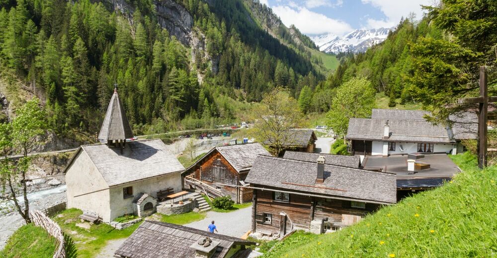
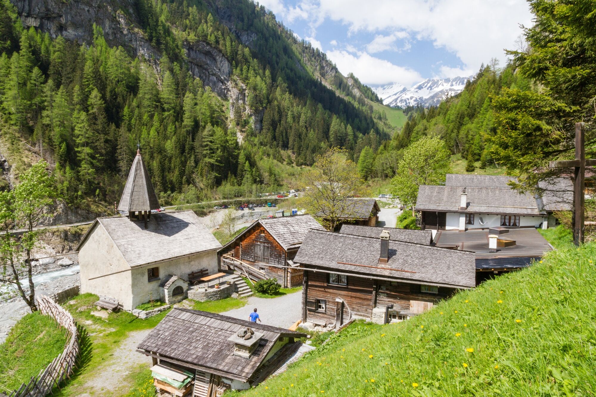
St. Martin im Calfeisental
- Profil en hauteur
-
 © outdooractive.com


- Auteur
-
La randonnée Way to the thickest fir in the world est utilisé par outdooractive.com fourni par.
GPS Downloads


Informations générales
Point de rassemblement
Prometteur
Autres parcours dans les régions
-
Heidiland
2200
-
Flims Laax Falera
774
-
Weisstannen
186