Castle Tour through the municipality of Rorschacherberg

Chemin thématique


© Gemeinde Rorschacherberg

© Gemeinde Rorschacherberg

- Brève description
-
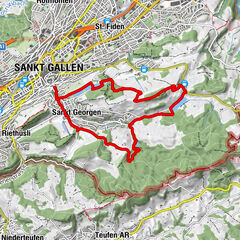
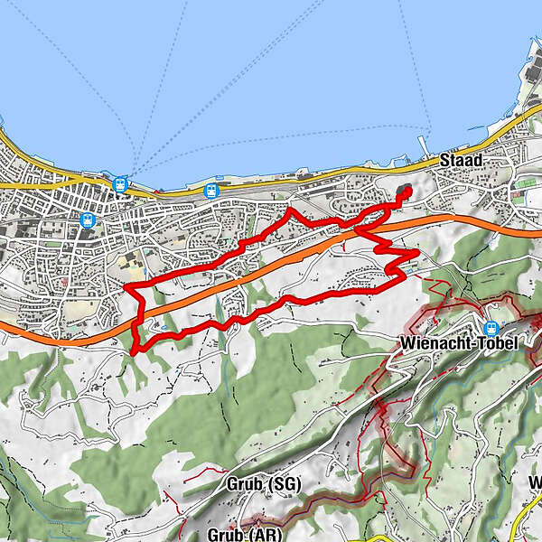
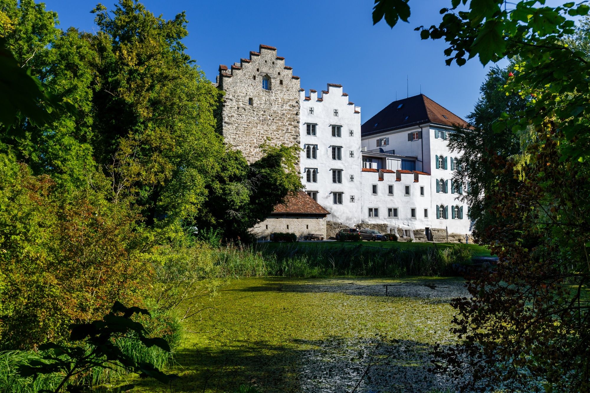
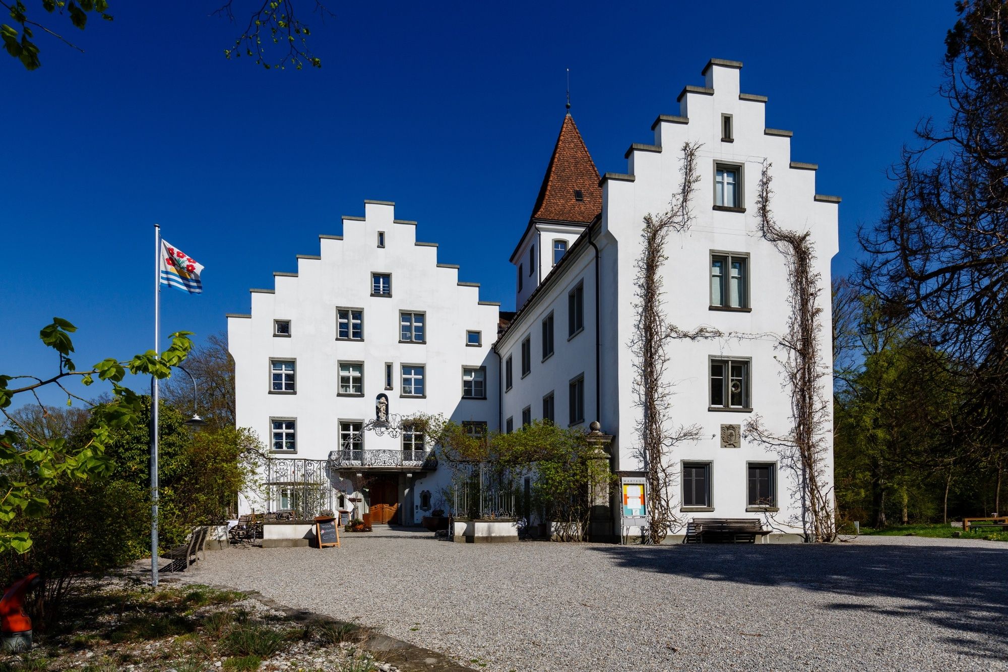
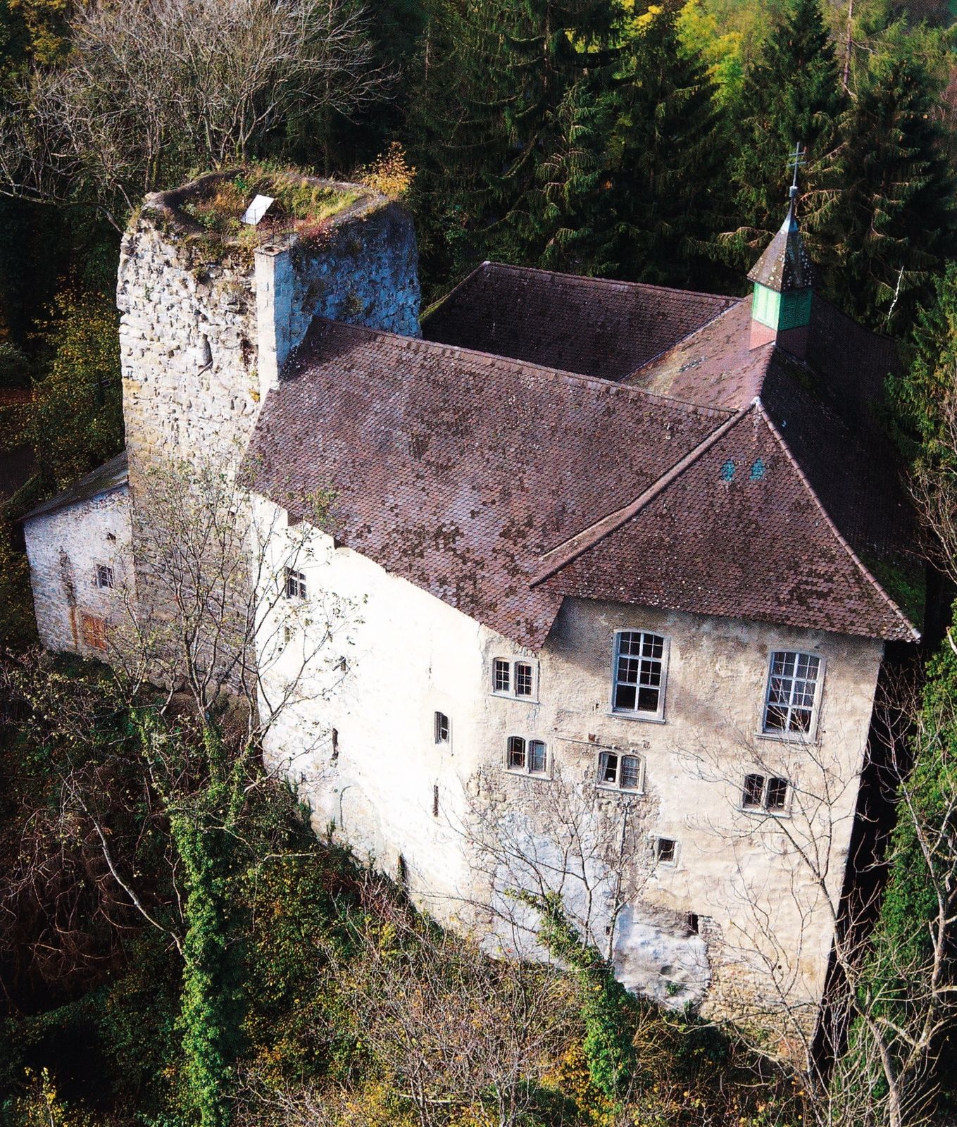
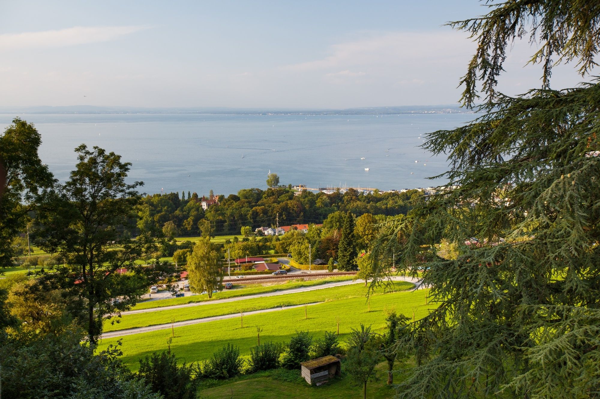
The Schlösserrundweg, or Castle Tour, through the municipality of Rorschacherberg passes four castles on the way up, offering a fantastic view of Lake Constance at the very top.
- Difficulté
-
moyen
- Évaluation
-
- Parcours
-
RorschachChrüzweg0,1 kmWilerhalde3,7 kmVogelherd5,3 kmHof5,9 kmHohriet6,4 kmHüttenmoos6,8 kmRorschacherberg (570 m)8,2 kmRorschach8,4 kmBustadel8,5 kmParadies8,5 kmChrüzweg9,0 km
- Meilleure saison
-
janv.févr.marsavrilmaijuinjuil.aoûtsept.oct.nov.déc.
- Hauteur maximale
- 584 m
- Point de mire
-
Rorschacherberg Mehrzweckhalle (multi-purpose hall)
- Profil en hauteur
-
 © outdooractive.com

- Auteur
-
La randonnée Castle Tour through the municipality of Rorschacherberg est utilisé par outdooractive.com fourni par.
GPS Downloads


Informations générales
Point de rassemblement
Culturel/Historiquement
Prometteur
Autres parcours dans les régions
-
St. Gallen - Bodensee
2065
-
St. Gallen und Umgebung
726
-
Rorschacherberg
187