
Dates des itinéraires
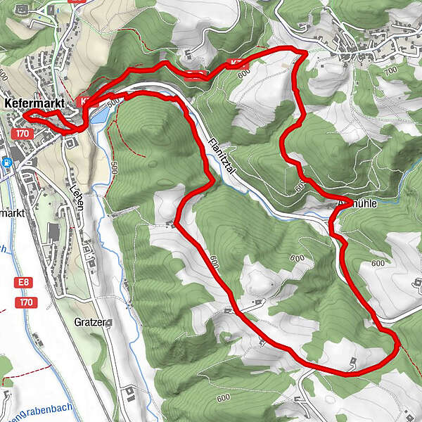
8,5km
500
- 646m
254hm
229hm
02:00h
- Brève description
-
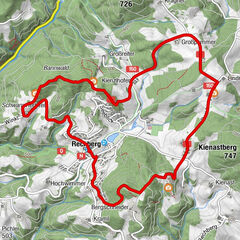
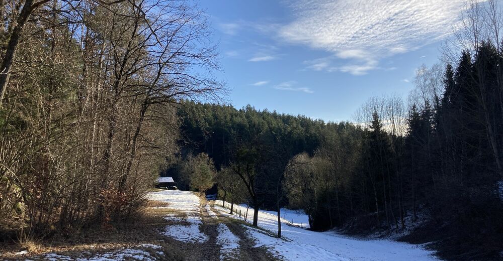
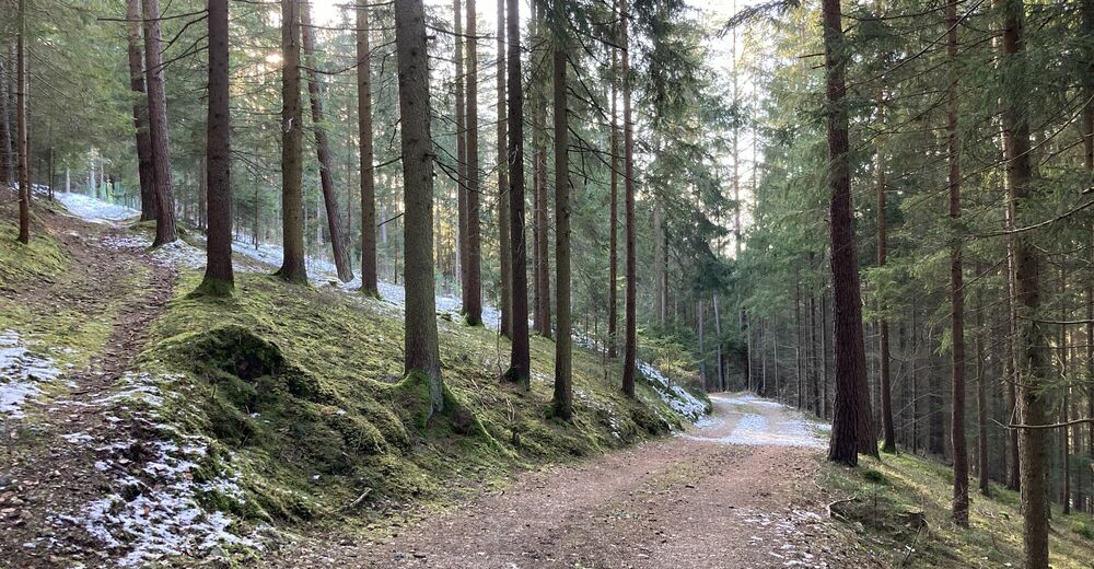
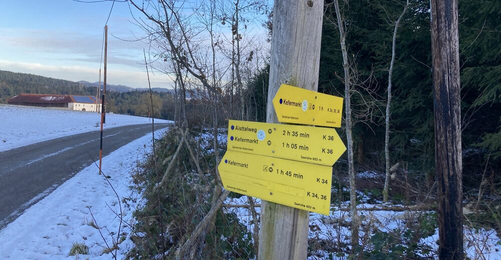
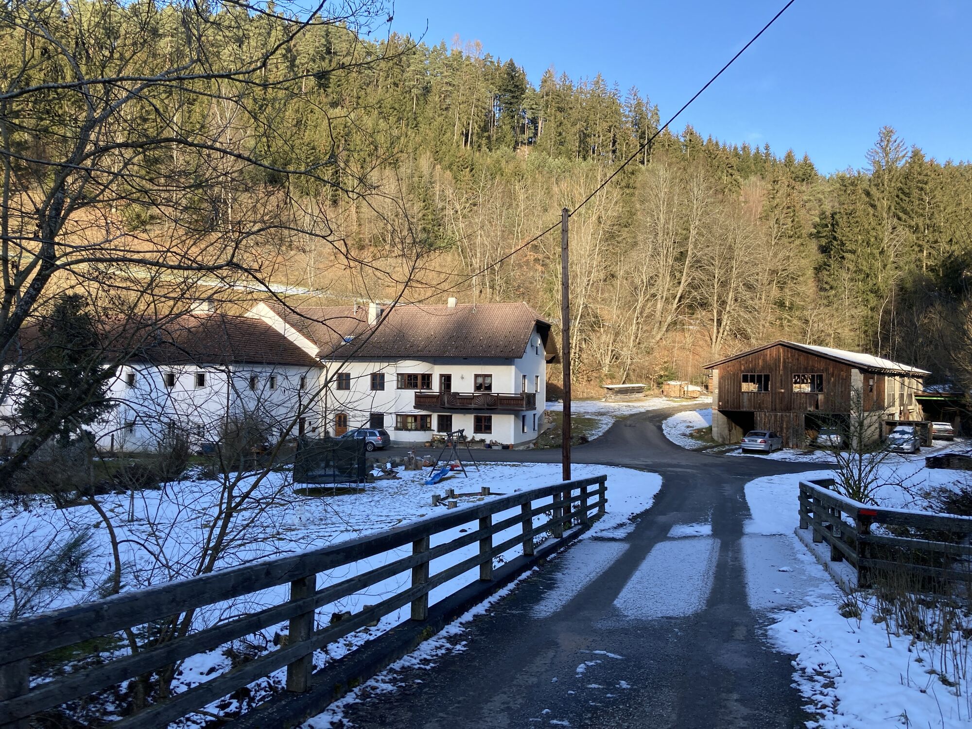
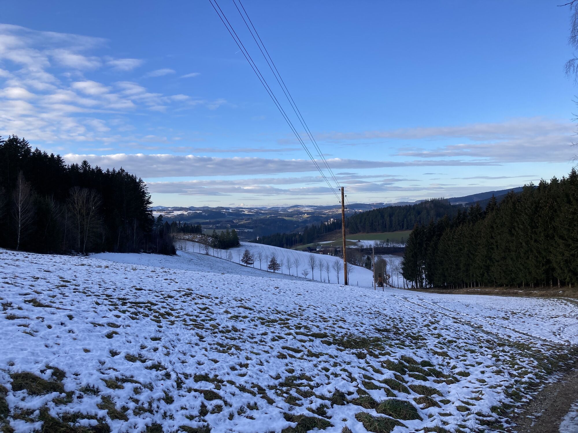
Kefermarkt - K34 - Altmühlweg
- Difficulté
-
facile
- Évaluation
-
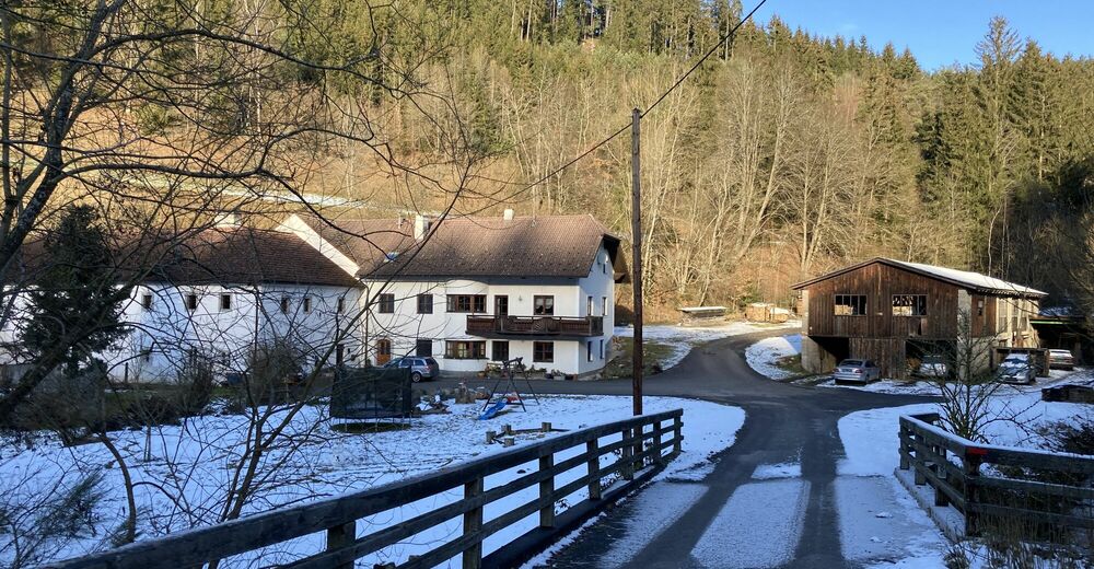
- Point de départ
-
Marktplatz Kefermarkt
- Parcours
-
Kefermarkt0,1 kmPfarrkirche Kefermarkt0,1 kmWaldschenke4,2 kmHarterleiten5,1 kmKefermarkt8,3 km
- Meilleure saison
-
janv.févr.marsavrilmaijuinjuil.aoûtsept.oct.nov.déc.
- Hauteur maximale
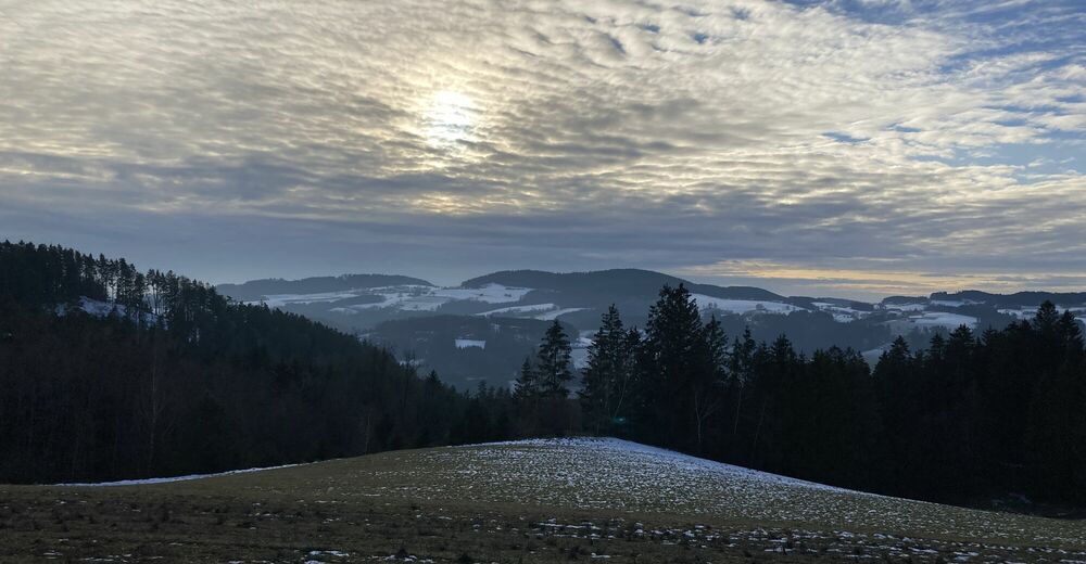
- 646 m
- Point de mire
-
Marktplatz Kefermarkt


- Source
- yamfs
GPS Downloads


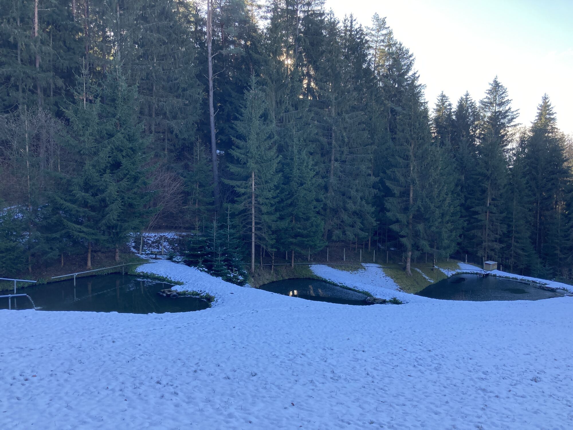
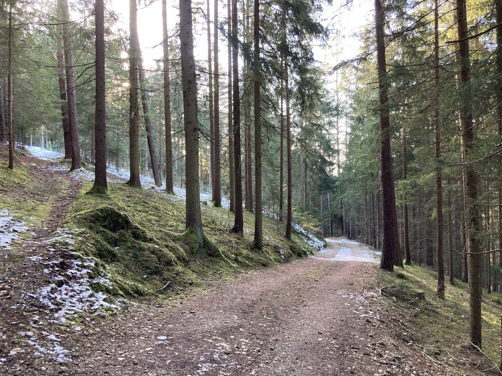
Nature du chemin
Asphalte
Gravier
Pelouse
Forêt
Rocher
Exposé
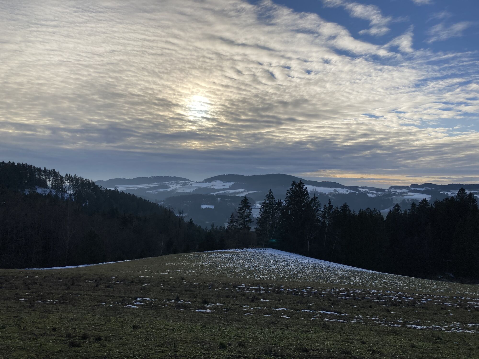
Autres parcours dans les régions
-
Mühlviertel
1782
-
Mühlviertler Alm Freistadt
1067
-
Kefermarkt
392