© TV Nationalpark Region Ennstal/Kraushofer

© TV Nationalpark Region Ennstal

© TV Nationalpark Region Ennstal
Dates des itinéraires
9,55km
833
- 1.155m
363hm
357hm
03:11h

- Brève description
-
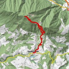
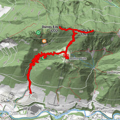
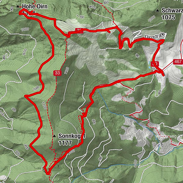
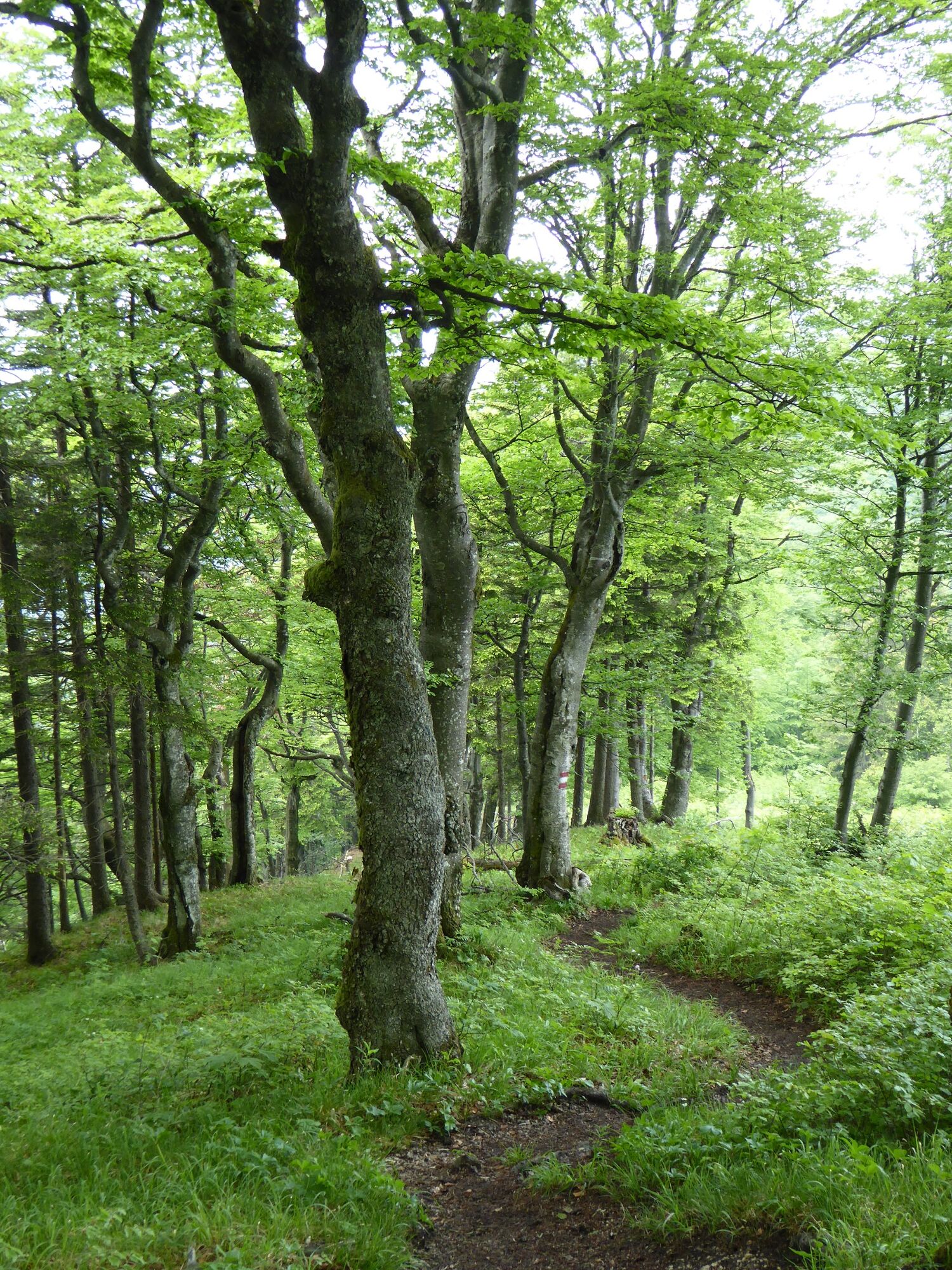
Via forest paths and forest roads around the Sonnkogel and to the summit of the Hohe Dirn (1,134m)
- Difficulté
-
moyen
- Évaluation
-
- Parcours
-
Hohe Dirn (1.134 m)6,9 km
- Meilleure saison
-
janv.févr.marsavrilmaijuinjuil.aoûtsept.oct.nov.déc.
- Hauteur maximale
- 1.155 m
- Point de mire
-
Reichraming/Hohe Dirn parking (access via Losenstein)
- Profil en hauteur
-


- Auteur
-
La randonnée Big Dirn Circular Trail est utilisé par outdooractive.com fourni par.
GPS Downloads


Informations générales
Point de rassemblement
Prometteur
Autres parcours dans les régions
-
Traunviertel
1940
-
Steyr und die Nationalpark Region
1371
-
Losenstein
397