© Mayr Fredi

© Fredi Mayr

© Mayr Fredi

© Mayr Fredi
- Brève description
-
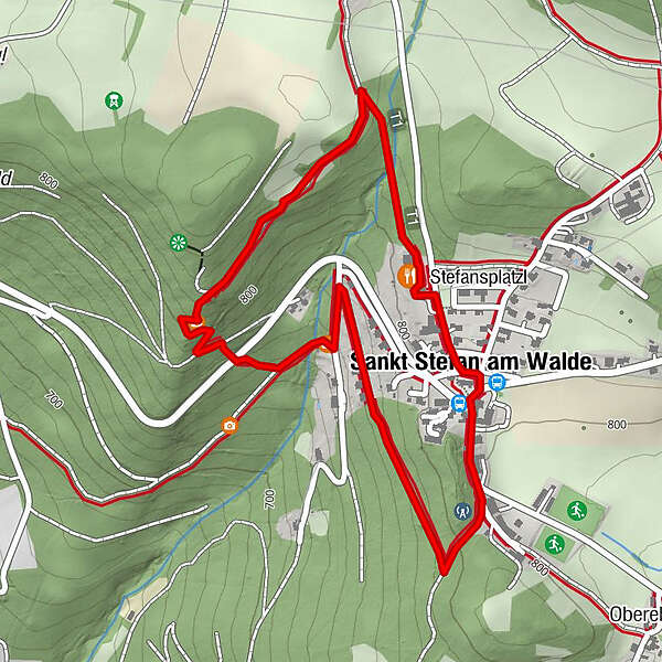
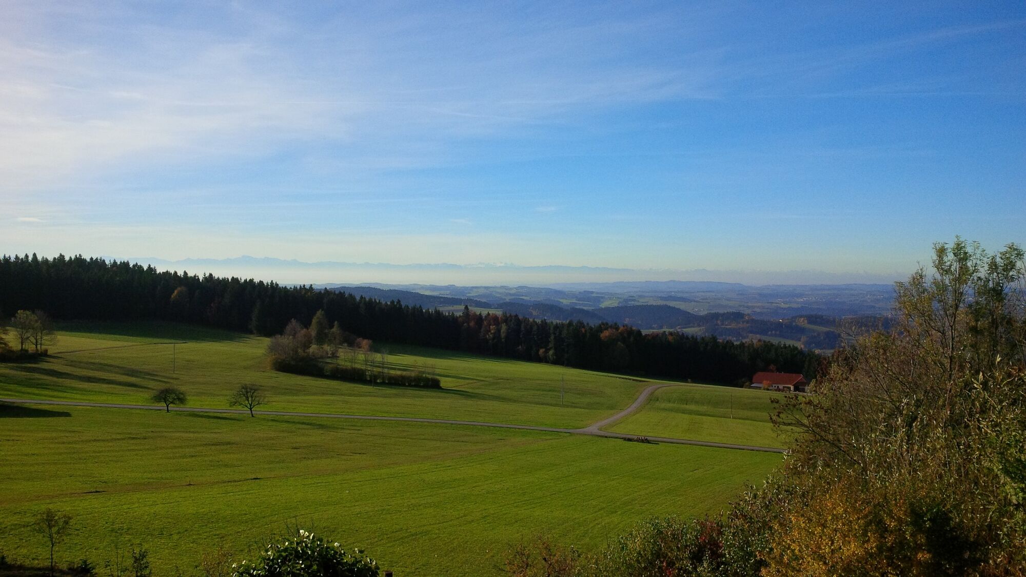
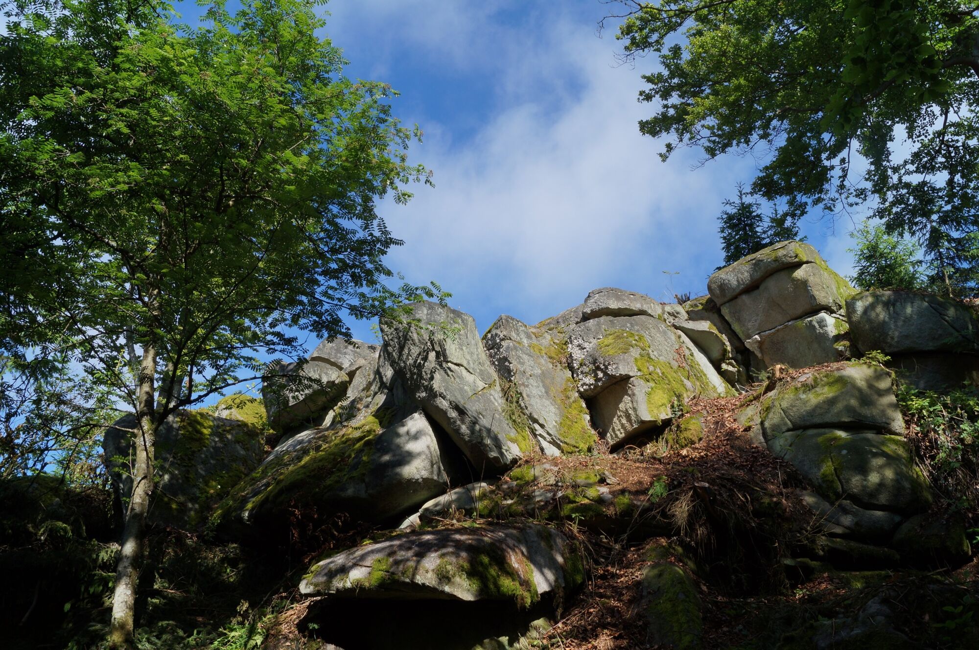
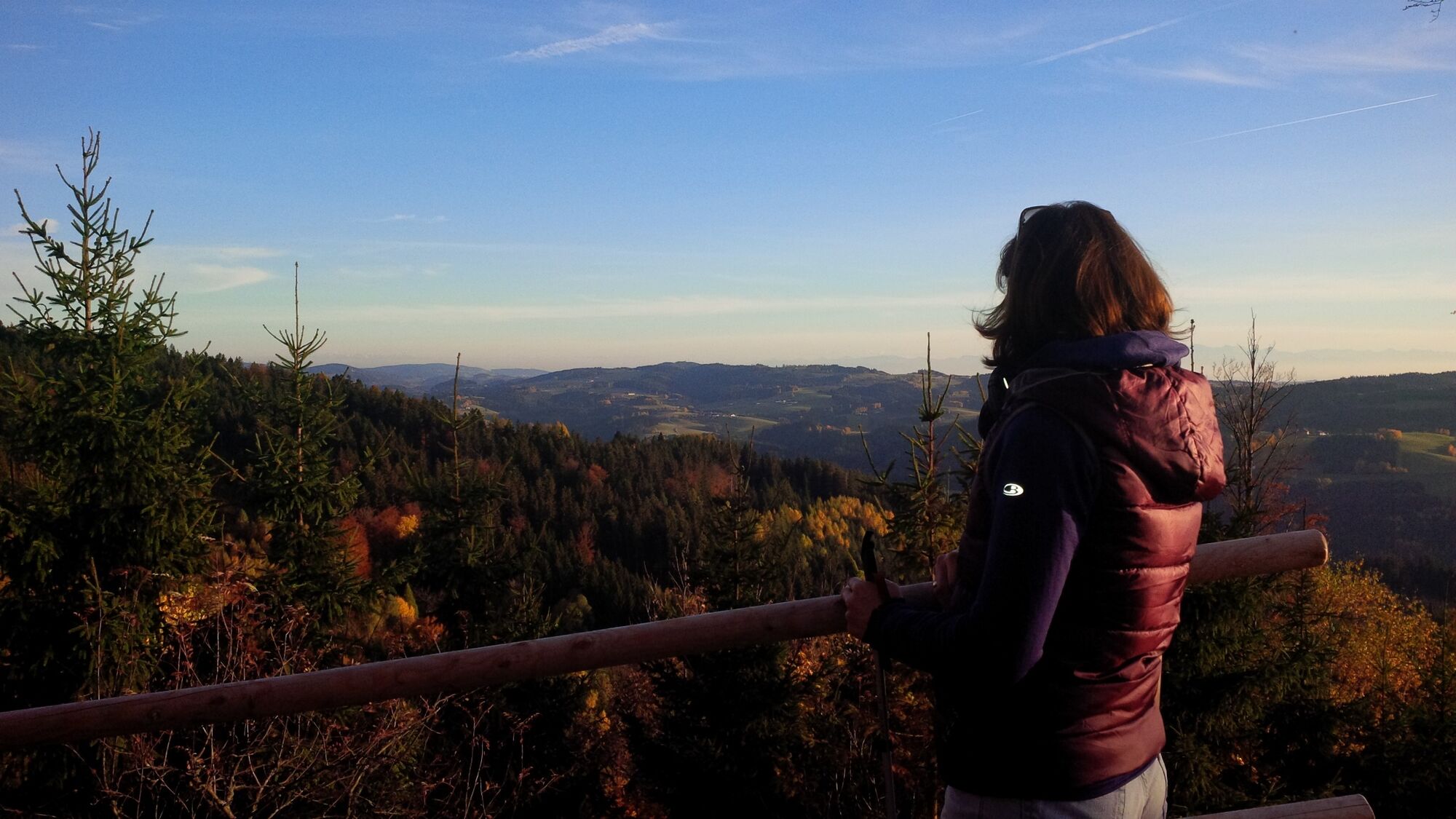
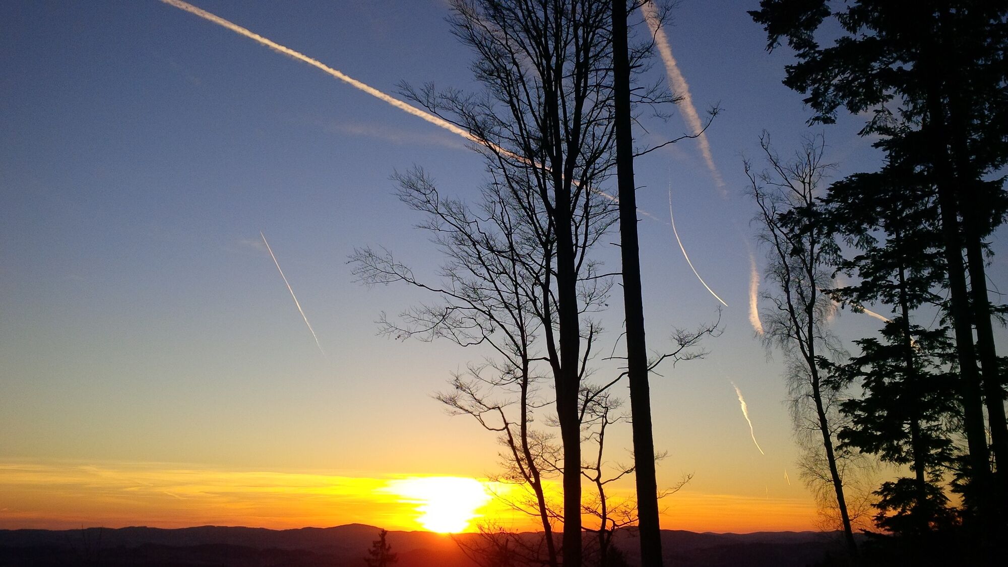
On a wonderful forest and meadow path along power stations on the Wendenstein and around the center of St. Stefan-Afiesl.
- Difficulté
-
moyen
- Évaluation
-
- Parcours
-
Drudenstein1,6 kmStefansplatzl2,3 kmKirche Sankt Stefan2,8 kmSankt Stefan am Walde2,8 km
- Meilleure saison
-
janv.févr.marsavrilmaijuinjuil.aoûtsept.oct.nov.déc.
- Hauteur maximale
- 844 m
- Profil en hauteur
-

- Auteur
-
La randonnée S5 Wendenstein way est utilisé par outdooractive.com fourni par.
GPS Downloads


Informations générales
Point de rassemblement
Autres parcours dans les régions
-
Mühlviertel
1779
-
Mühlviertler Hochland
749
-
St. Stefan-Afiesl
223