Thalheim - Schleißheim - Blindenmarkt - Ottsdorf - Thalheim

Randonnée
Dates des itinéraires
16,27km
299
- 381m
118hm
123hm
04:04h
- Brève description
-
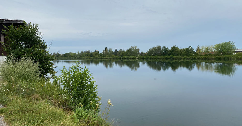
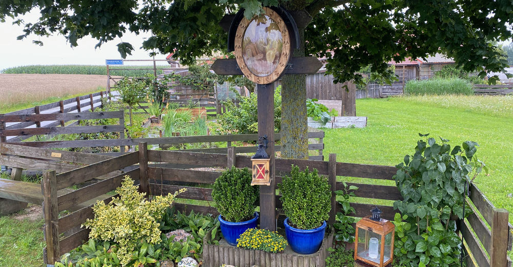
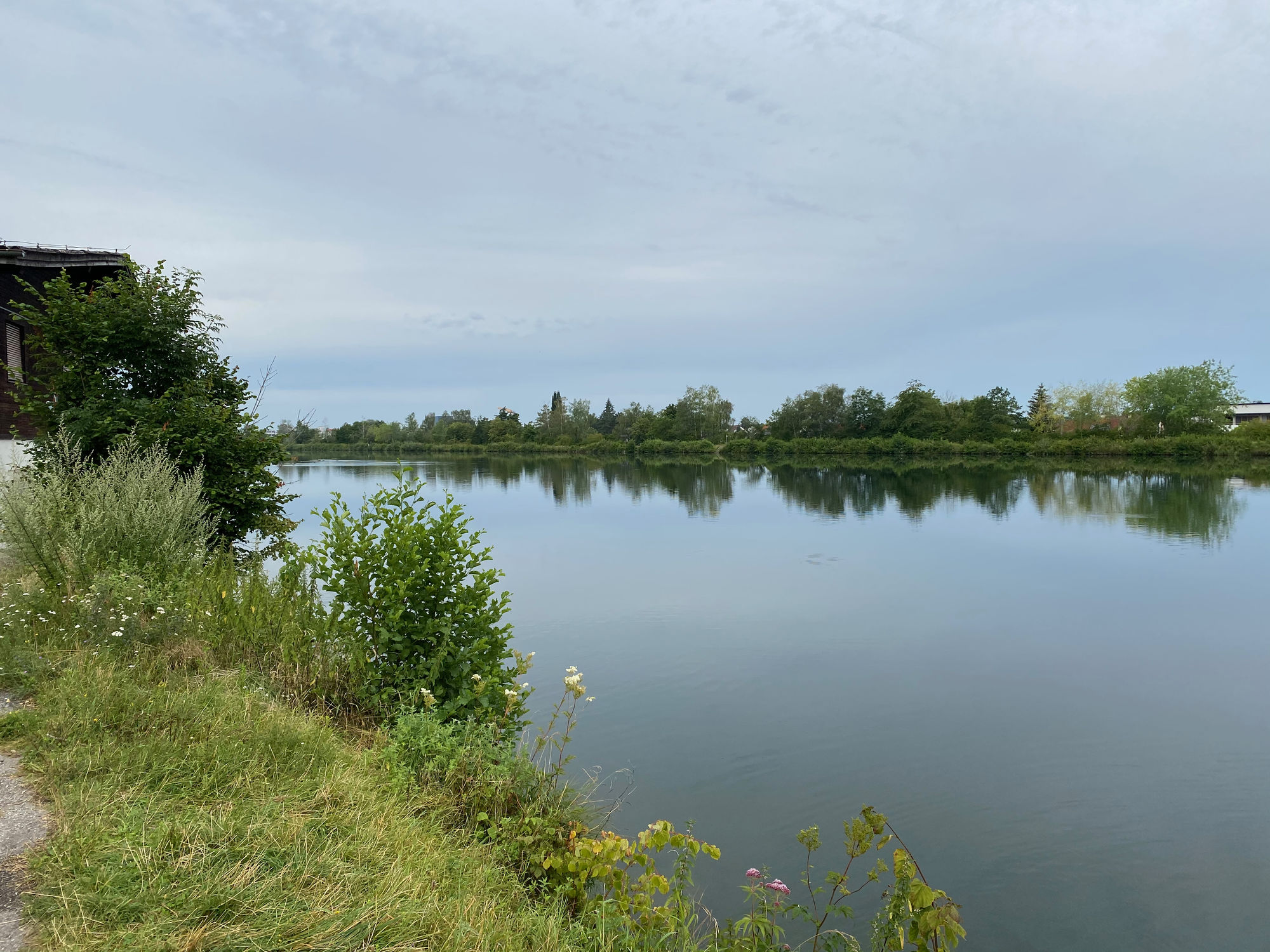
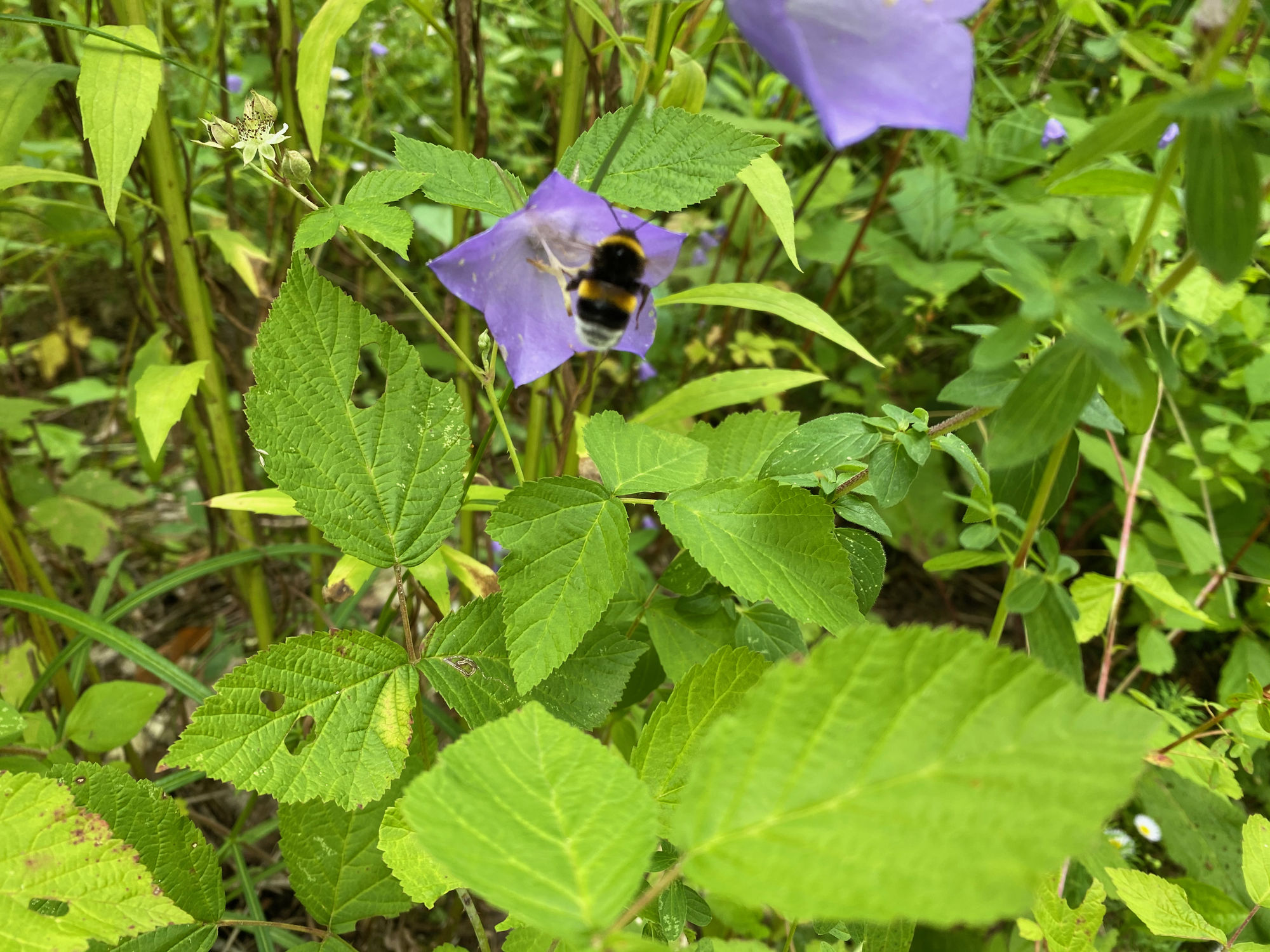
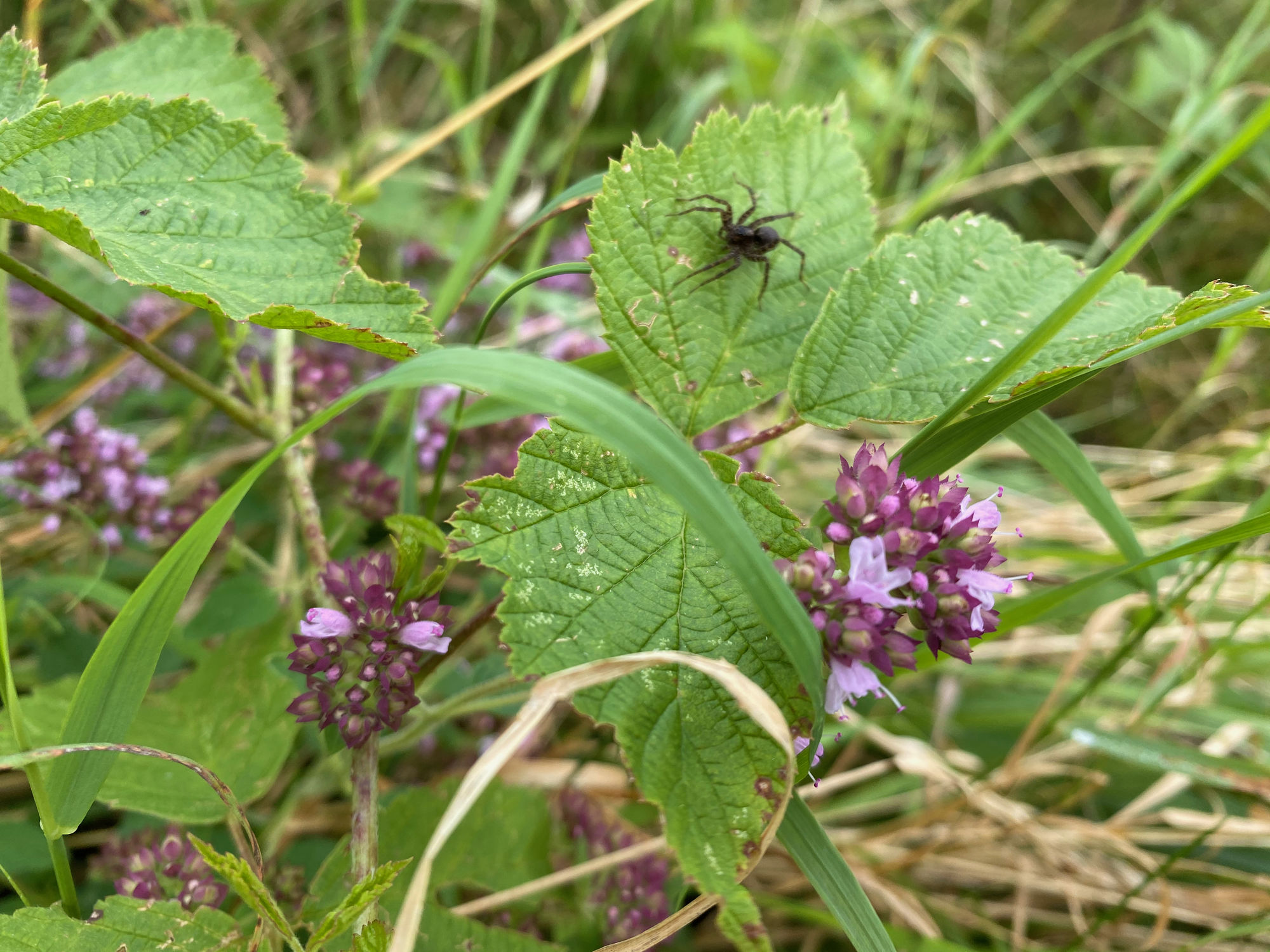
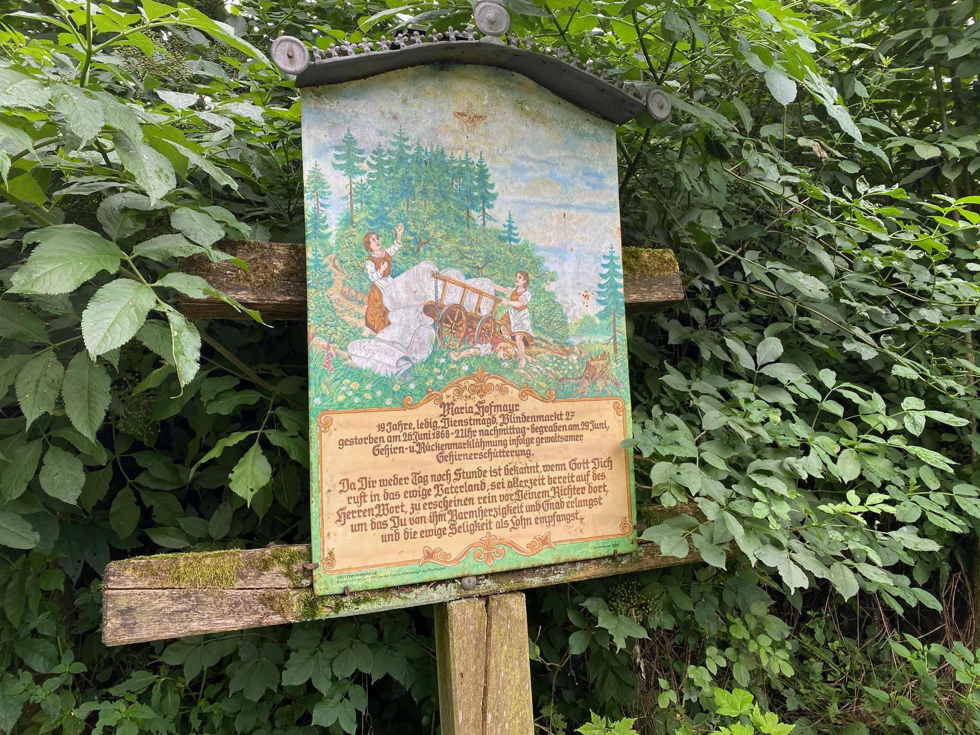
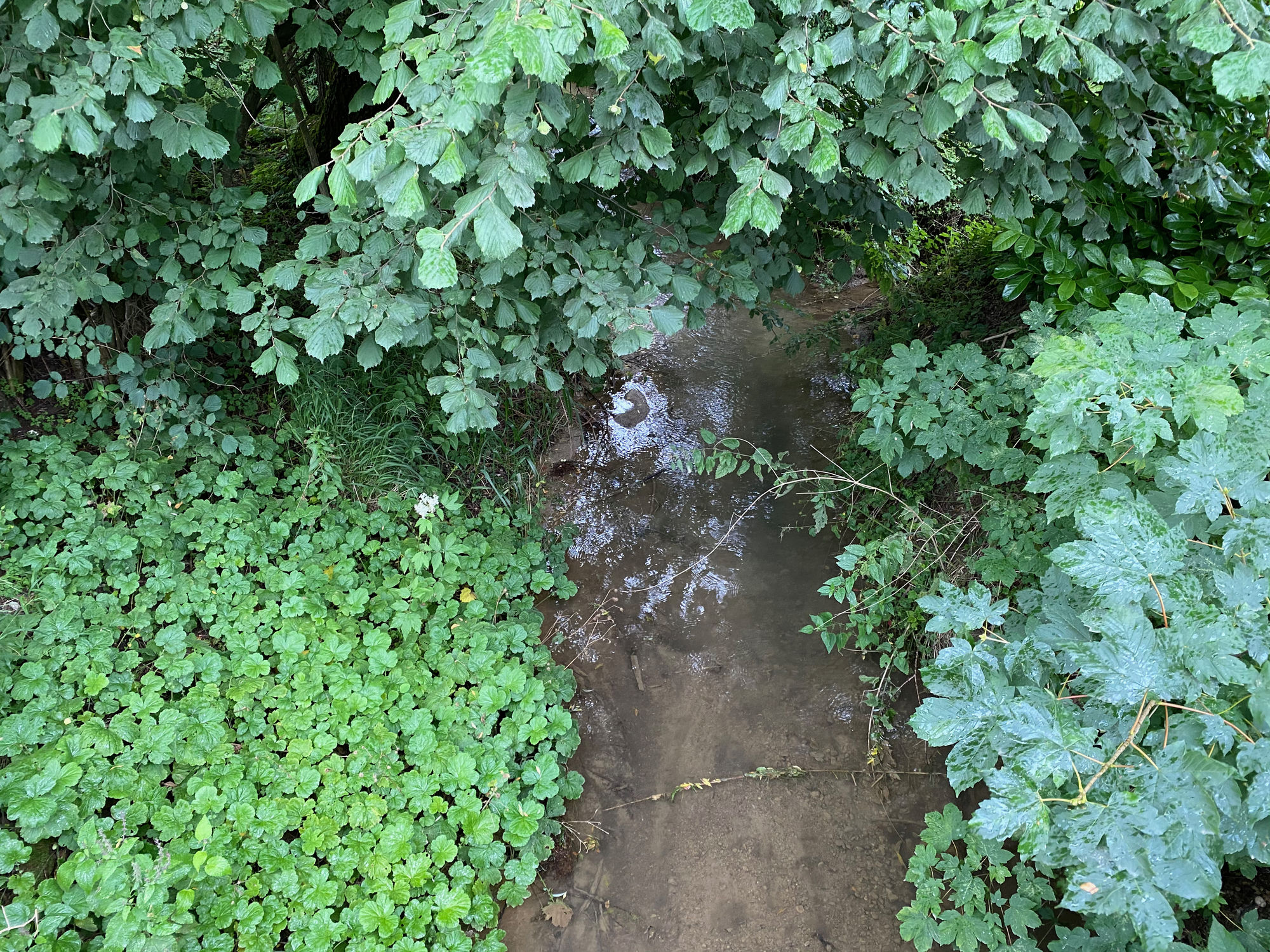
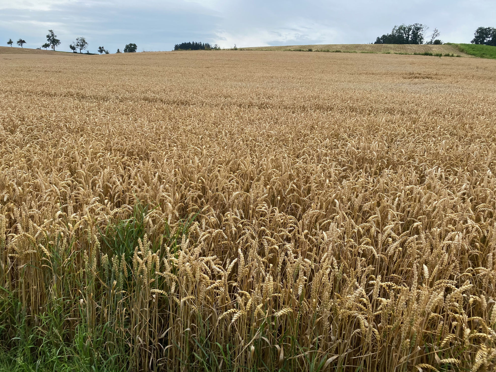
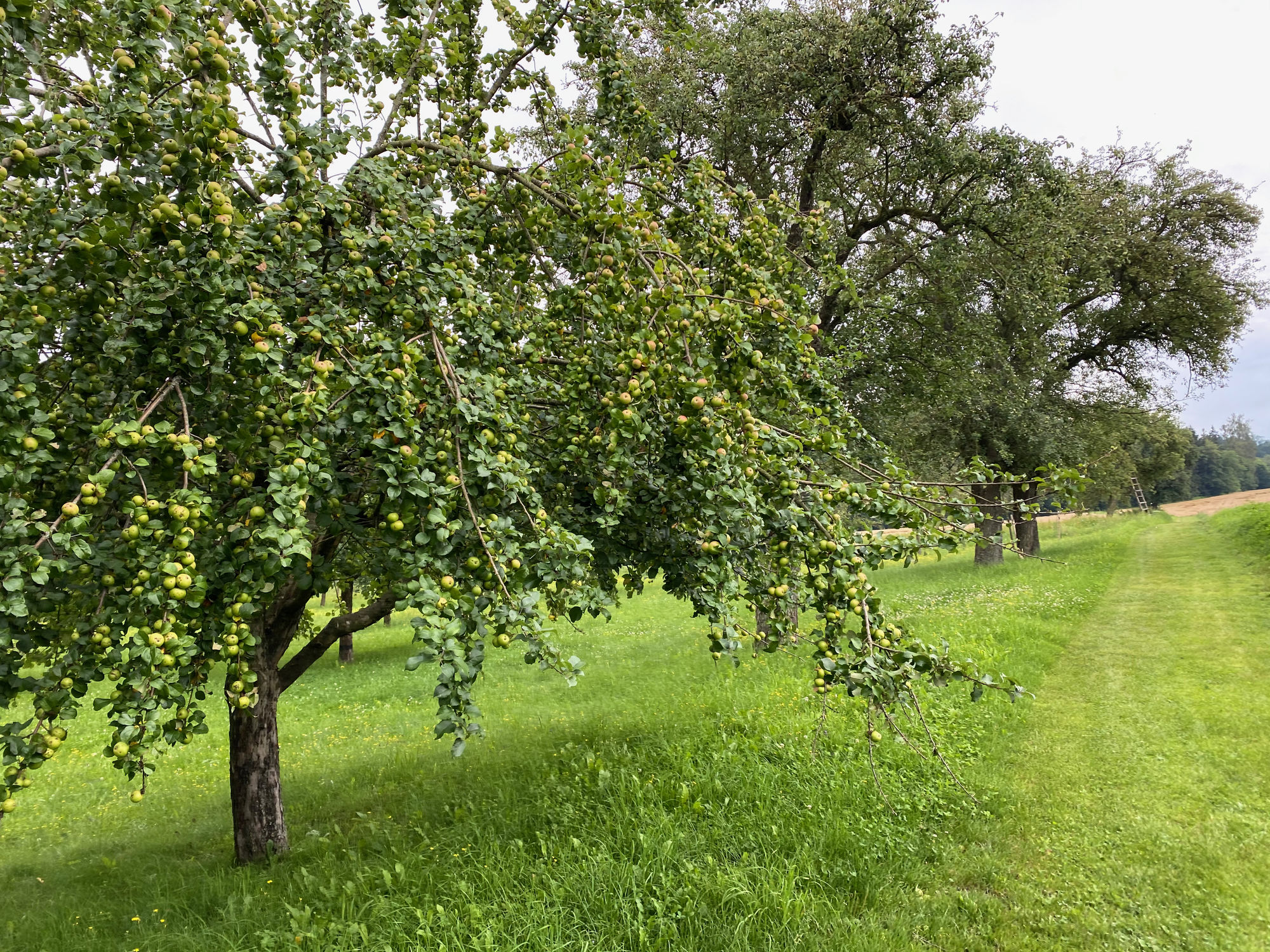
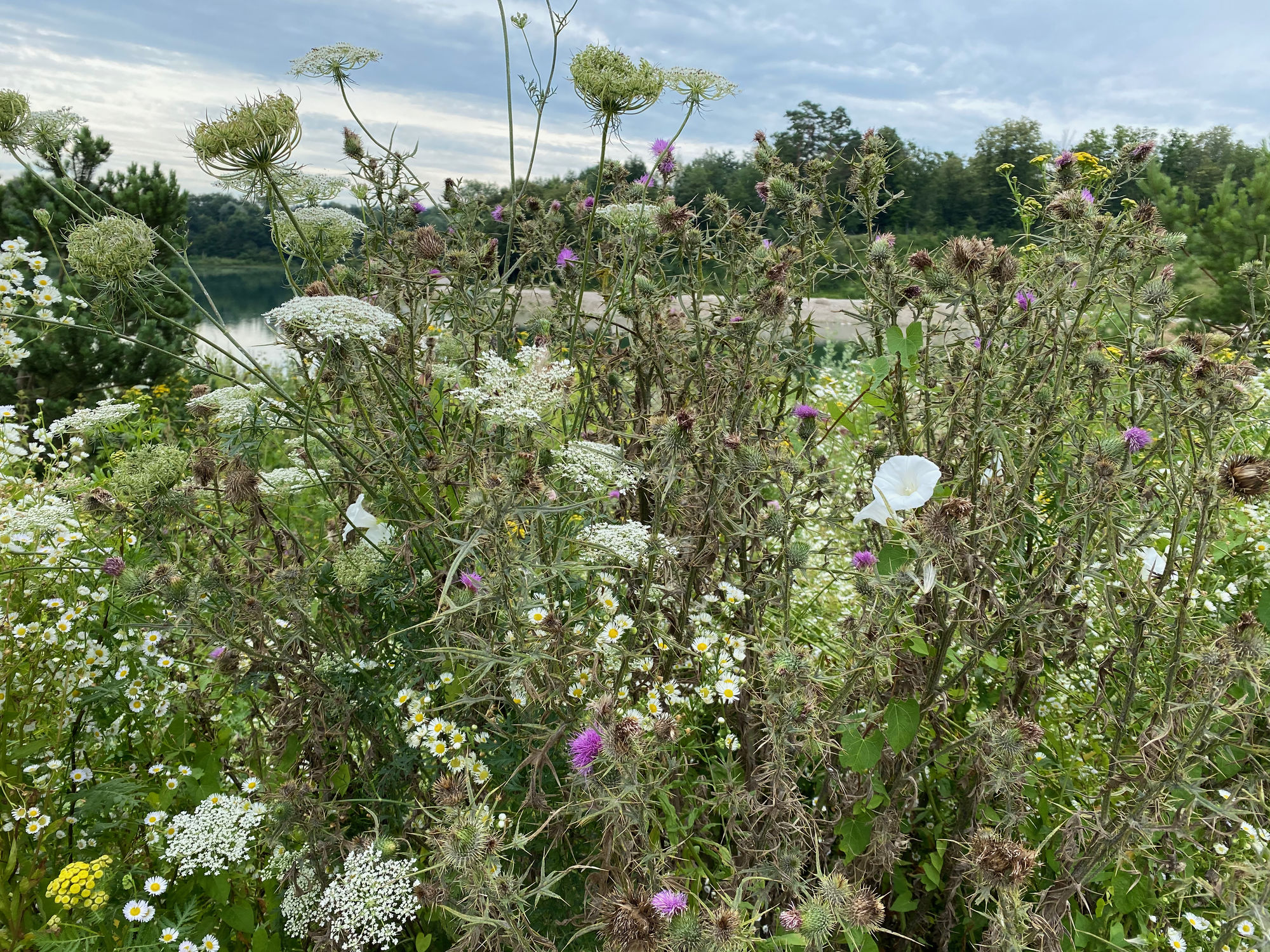
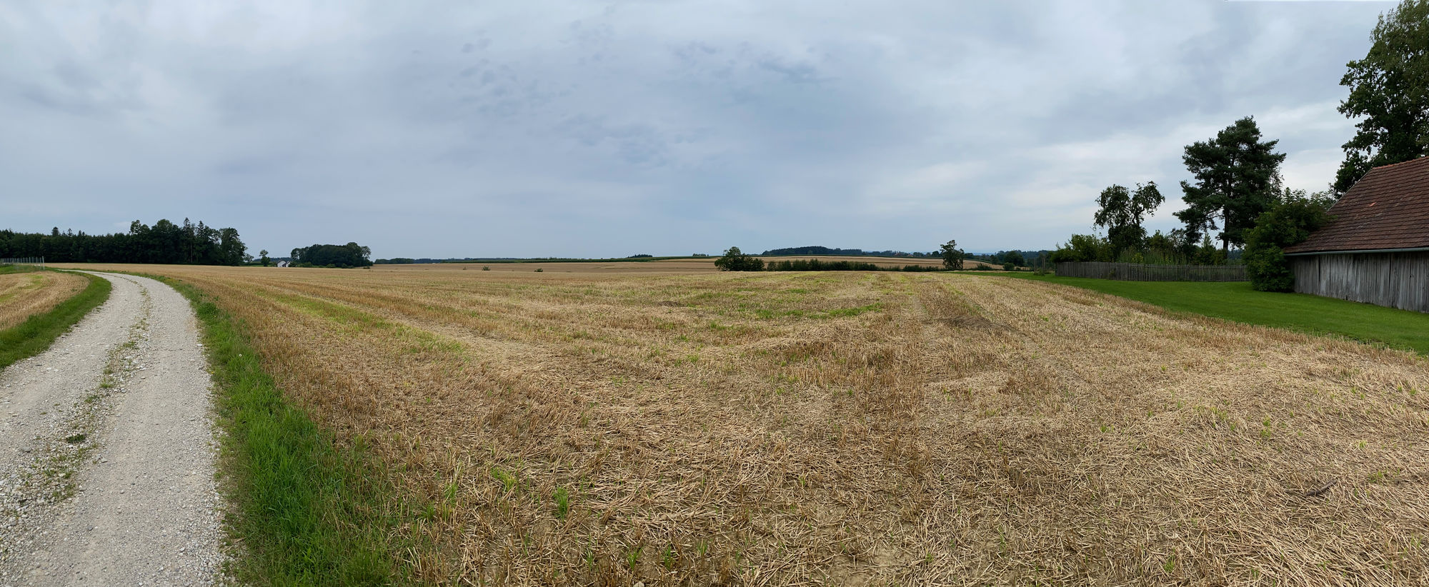
Schöner Rundweg von Thalheim über Schleißheim und Dietach am Weiher über Blindenmarkt zurück nach Thalheim
- Difficulté
-
facile
- Évaluation
-
- Parcours
-
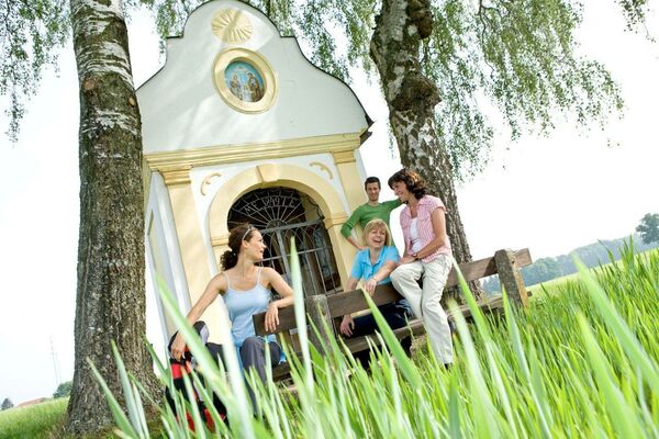
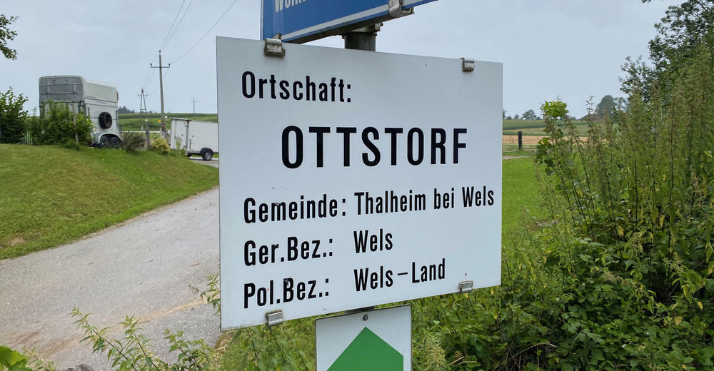
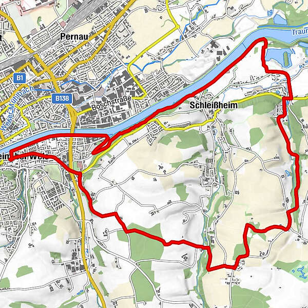
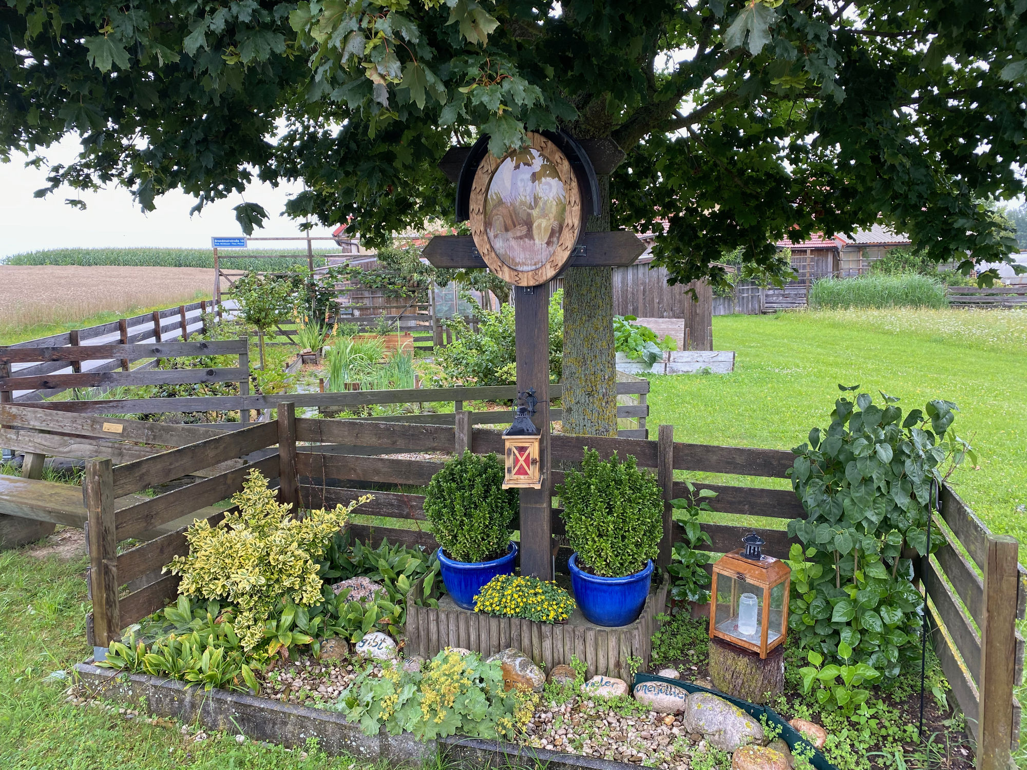
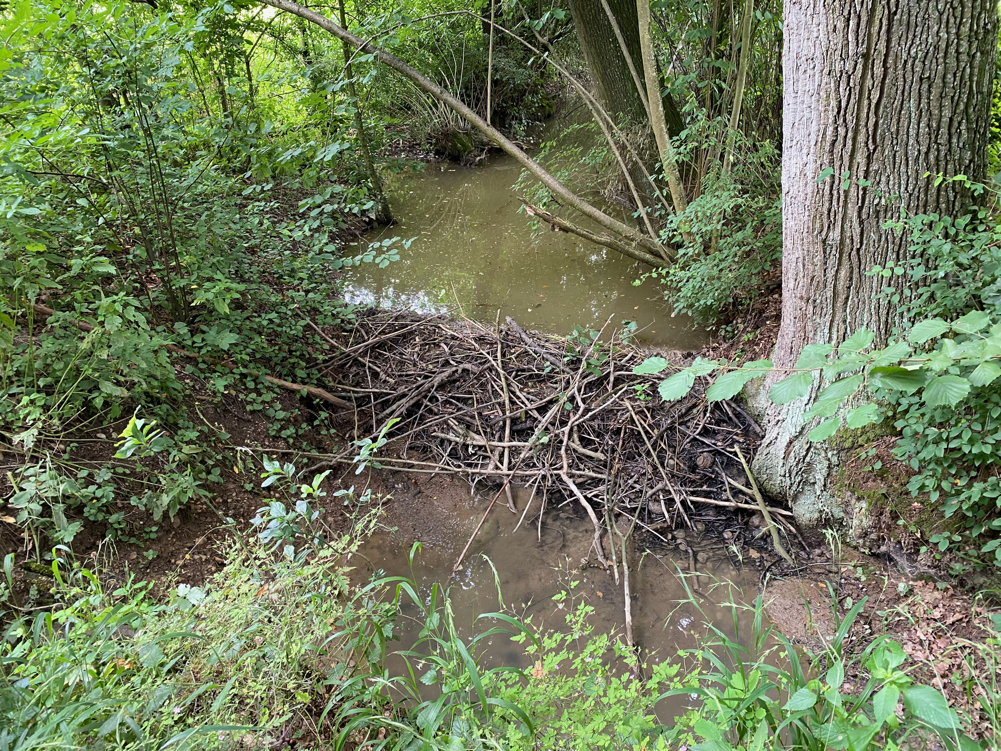
Thalheim bei WelsWels (317 m)0,1 kmSchleißheim4,2 kmMotorik Fun Schleißheim4,7 kmDietach7,0 kmBlindenmarkt11,2 kmAnna-Kapelle14,7 kmThalheim bei Wels16,2 km
- Meilleure saison
-
janv.févr.marsavrilmaijuinjuil.aoûtsept.oct.nov.déc.
- Hauteur maximale
- 381 m


GPS Downloads


Nature du chemin
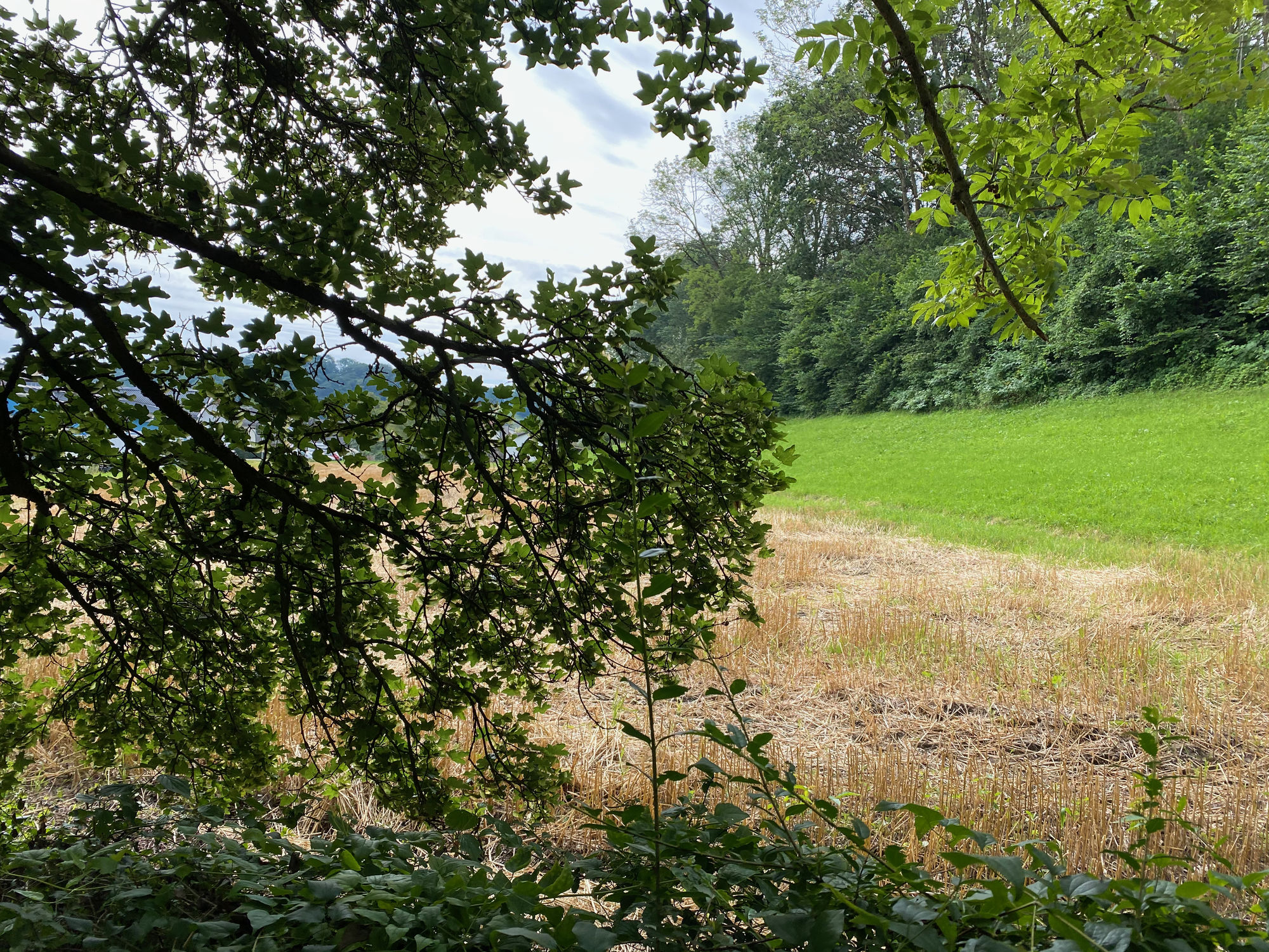
Asphalte
(20)
Gravier
(25)
Pelouse
(15)
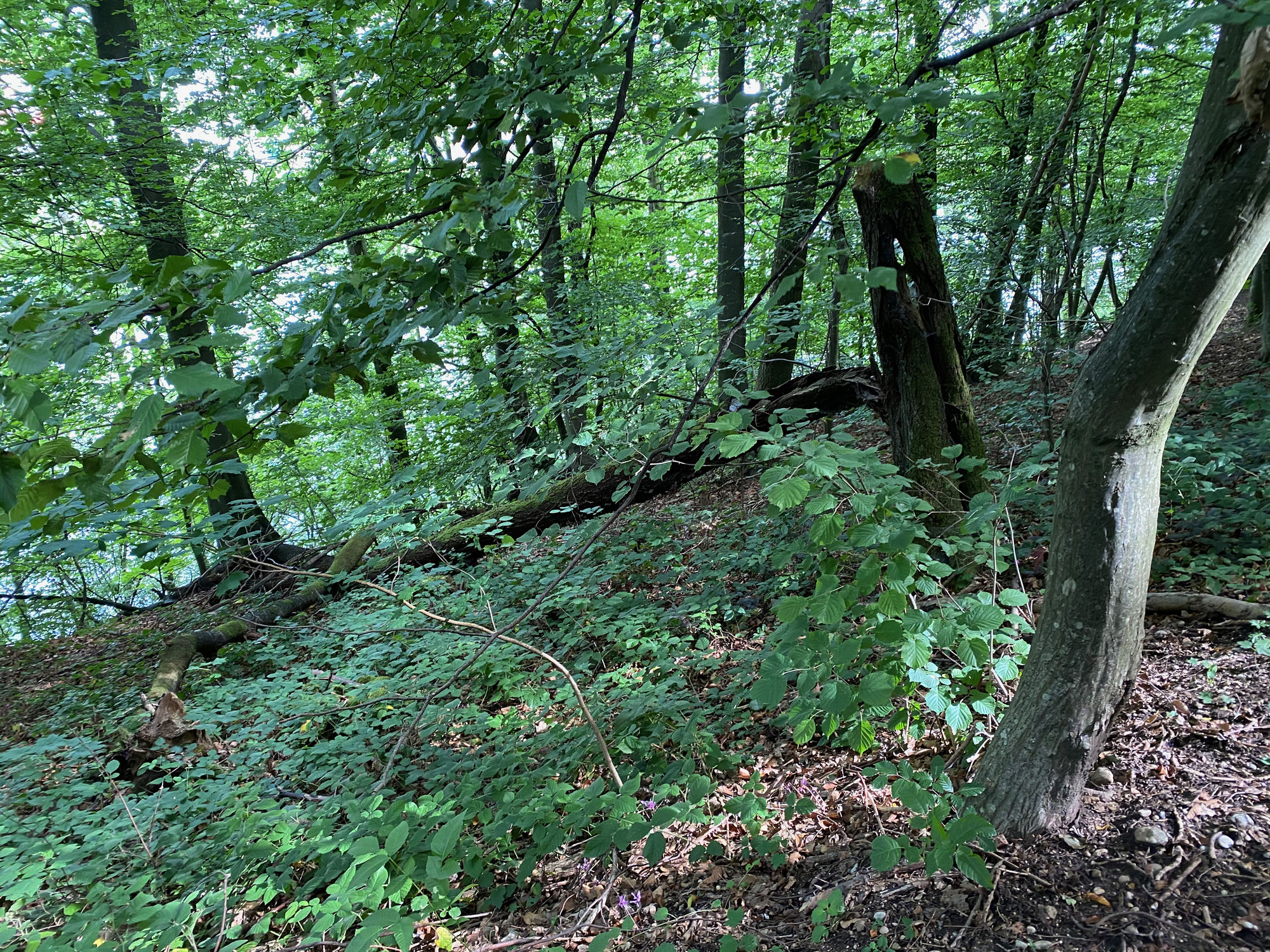
Forêt
(40)
Rocher
Exposé
Autres parcours dans les régions
-
Hausruckviertel
1487
-
Tourismusregion Wels
445
-
Schleißheim
86