Dates des itinéraires
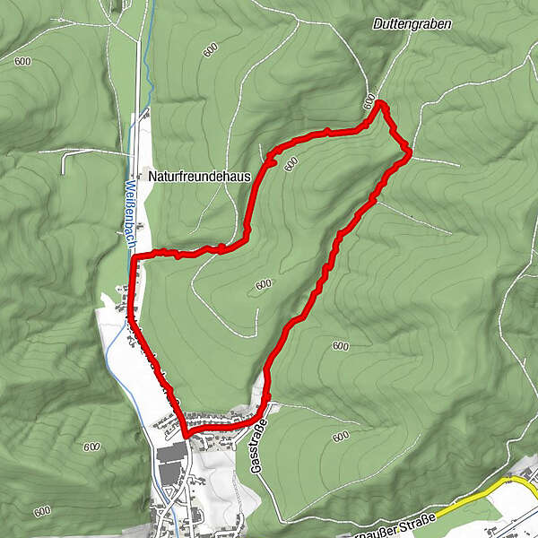
5,08km
545
- 609m
56hm
67hm
01:01h
- Brève description
-
Netter ausgeschilderter Rundweg im Wald bei Weißenbach.
- Difficulté
-
facile
- Évaluation
-
- Parcours
-
Weißenbach4,8 km
- Meilleure saison
-
janv.févr.marsavrilmaijuinjuil.aoûtsept.oct.nov.déc.
- Hauteur maximale
- 609 m
GPS Downloads


Nature du chemin
Asphalte
Gravier
Pelouse
Forêt
Rocher
Exposé
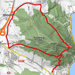
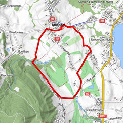
Autres parcours dans les régions
-
Innviertel
797
-
s'Innviertel
341
-
Straßwalchen
154