© TVB Mühlviertler Kernland
© TVB Mühlviertler Kerland
© TVB MÜhlviertler Kernland
Dates des itinéraires
12,9km
662
- 898m
241hm
226hm
03:30h

- Brève description
-
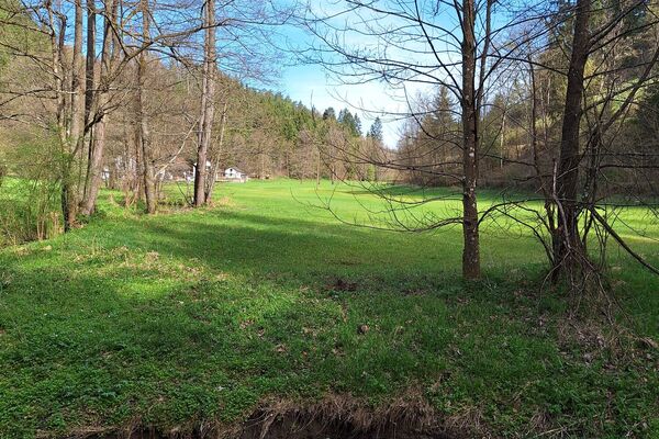
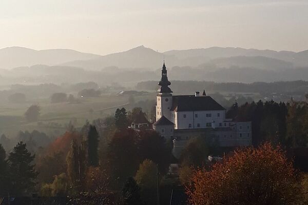
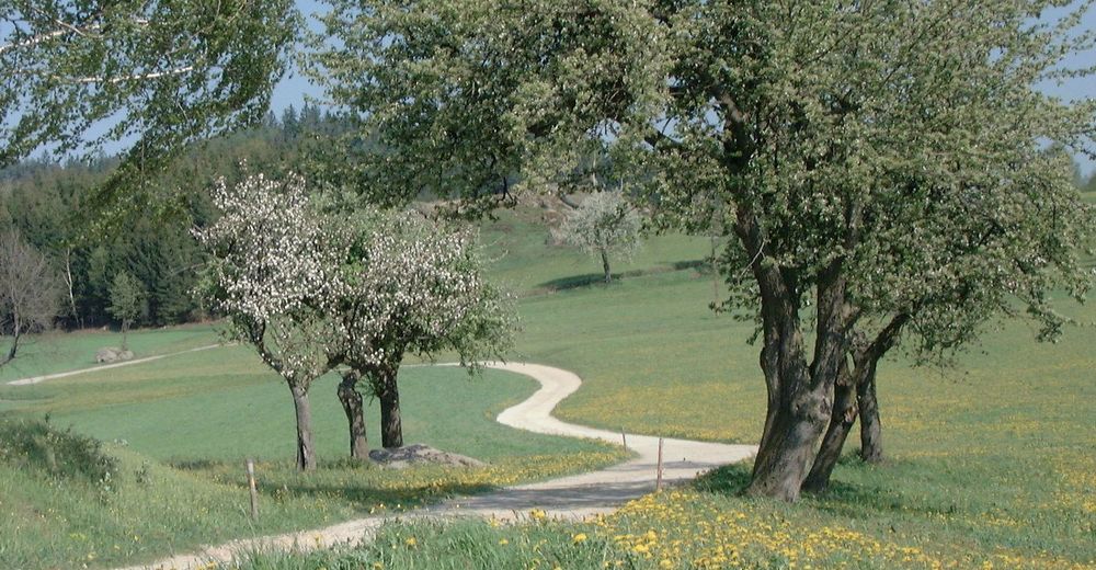
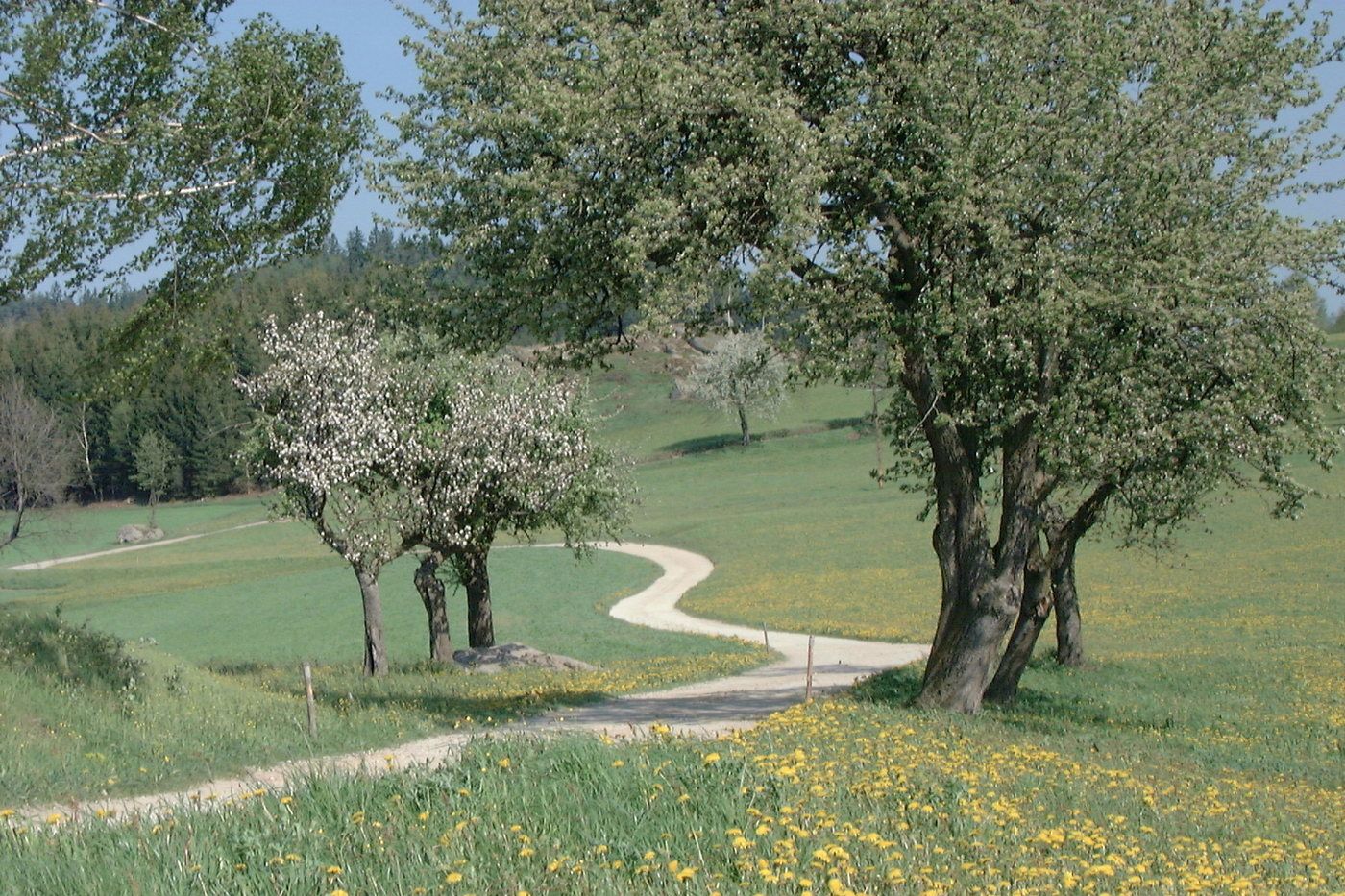
Wandern durch liebliche Dörfer inmitten herrlicher Natur! Raphaelshöhe romantischer Ruheplatz mit Blick nach St. Leonhard und herrrlichem Aussichtspunkt.
- Difficulté
-
facile
- Évaluation
-
- Point de départ
-
Ausgangs- und Endpunkt Gasthof Zur Holzmühle (kein Gastbetrieb mehr!)
- Parcours
-
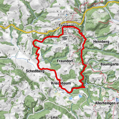
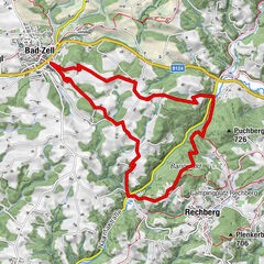
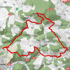
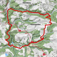
Holzmühle0,0 kmMarch2,9 kmGasthaus Wurm3,8 kmNeudorf3,9 kmHimmel5,0 kmSchwabing7,3 kmAmesreith9,2 kmHolzmühle12,8 km
- Meilleure saison
-
janv.févr.marsavrilmaijuinjuil.aoûtsept.oct.nov.déc.
- Hauteur maximale
- 898 m
- Cartes
-
TVB Mühlviertler Kernland +43 7945/7526 oder +43 7942/75700
st.oswald@oberoesterreich.at oder kernland@oberoesterreich.at

GPS Downloads


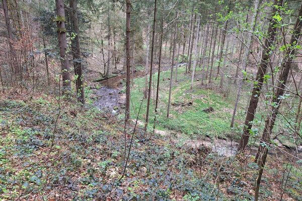
Nature du chemin
Asphalte
Gravier
Pelouse
Forêt
Rocher
Exposé
Autres parcours dans les régions
-
Mühlviertel
1782
-
Mühlviertler Alm Freistadt
1067
-
St. Oswald bei Freistadt
328