© TVB Mühlviertler Kernland
Dates des itinéraires
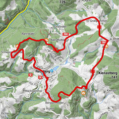
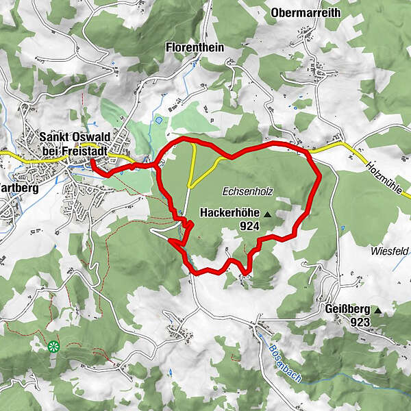
8,88km
614
- 898m
221hm
165hm
03:00h
- Difficulté
-
moyen
- Évaluation
-
- Point de départ
-
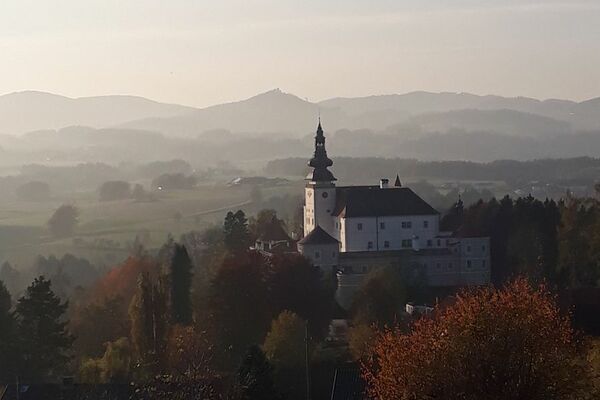
Ortsmitte Markt 40
- Parcours
-
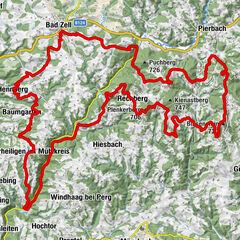
Sankt Oswald bei FreistadtGasthof Zur PostMaria Bründl Kapelle1,6 kmHolzmühle5,8 kmGasthof zur Holzmühle5,8 kmGasthof Zur Post8,8 kmSankt Oswald bei Freistadt8,8 km
- Hauteur maximale
- 898 m
- Repos/Rassembler
-
Gastronomie im Ort, Holzmühle (Mo Ruhetag)
- Cartes
-
TVB Mühlviertler Kernland
Hauptplatz 14
4240 Freistadt, Österreich
Tel.: +43 (7942)75700
Fax: +43 (7942) 75700 20
E-Mail: kernland@oberoesterreich.at
WWW: www.muehlviertler-kernland.at
GPS Downloads


Nature du chemin
Asphalte
Gravier
Pelouse
Forêt
Rocher
Exposé
Autres parcours dans les régions
-
Mühlviertel
1781
-
Mühlviertler Alm Freistadt
1069
-
St. Oswald bei Freistadt
329