
© Sulzbacher
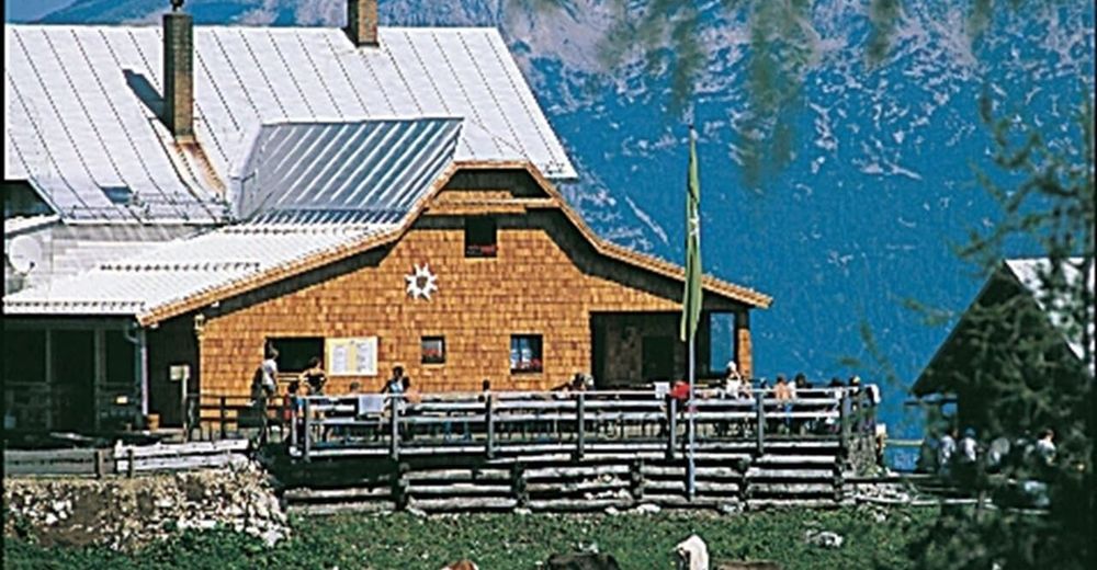
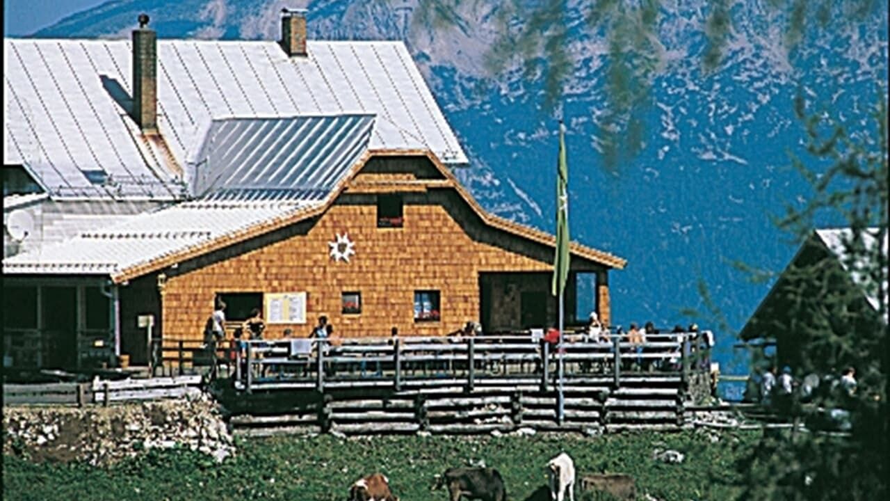
© Dümlerhütte
Dates des itinéraires
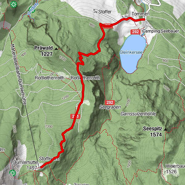
3,6km
811
- 1.467m
640hm
640hm
04:00h
- Brève description
-
Schwierigkeitsgrad: rot
- Difficulté
-
moyen
- Évaluation
-
- Point de départ
-
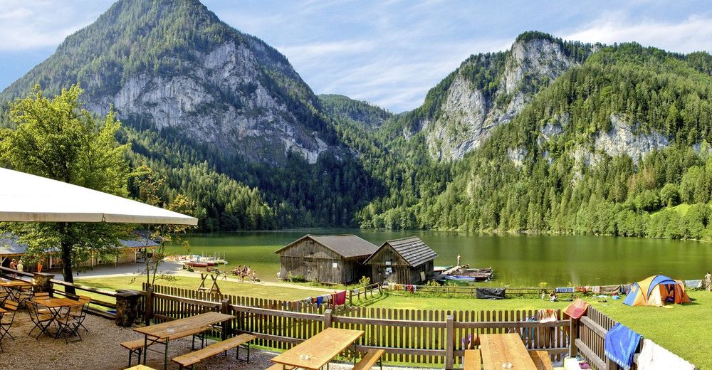
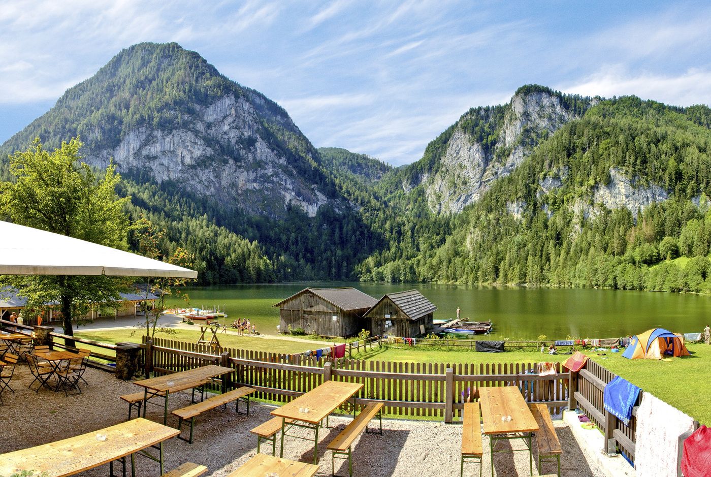
Gleinkersee
- Parcours
-
Tommleralm2,3 kmDümlerhütte3,5 km
- Meilleure saison
-
janv.févr.marsavrilmaijuinjuil.aoûtsept.oct.nov.déc.
- Hauteur maximale
- 1.467 m
- Repos/Rassembler
-
GH Seebauer, GH Tommerl, Dümlerhütte
- Cartes
-
Wanderkarte Pyhrn-Priel erhätlich in allen Pyhrn-Priel Tourismusbüros!
GPS Downloads


Nature du chemin
Asphalte
Gravier
Pelouse
Forêt
Rocher
Exposé
Autres parcours dans les régions
-
Traunviertel
1940
-
Urlaubsregion Pyhrn - Priel
1440
-
Roßleithen
463


