

© TVB Pyhrn-Priel

© OÖ Tourismus - Roebl
Dates des itinéraires
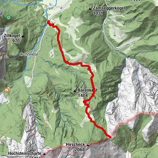
6,17km
660
- 1.738m
1.070hm
02:30h
- Brève description
-
Schwierigkeitsgrad: Blau
- Difficulté
-
moyen
- Évaluation
-
- Point de départ
-
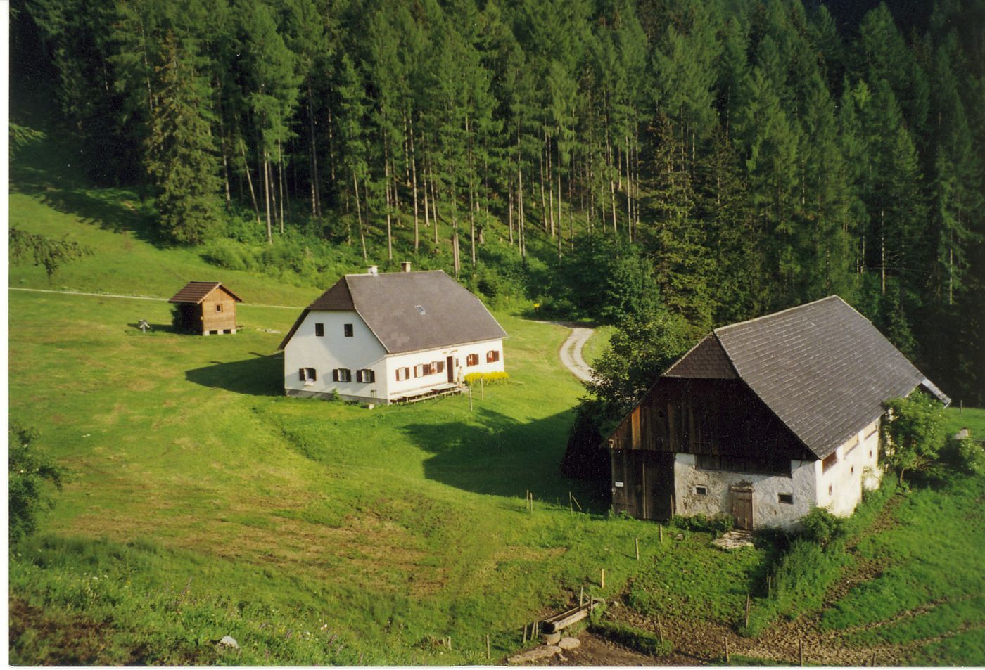
Parkplatz Bärenalm
- Parcours
-
Türkenkarscharte6,1 km
- Meilleure saison
-
janv.févr.marsavrilmaijuinjuil.aoûtsept.oct.nov.déc.
- Hauteur maximale
- 1.738 m
- Repos/Rassembler
-
Schafferreith
- Cartes
-
Wanderkarte Pyhrn-Priel erhältlich in allen Pyhrn-Priel Tourismusbüros!

GPS Downloads


Nature du chemin
Asphalte
Gravier
Pelouse
Forêt
Rocher
Exposé
Autres parcours dans les régions


