

© Gemeinde Hinterstoder
© Gemeinde Hinterstoder
© Bruno Sulzbacher
Dates des itinéraires
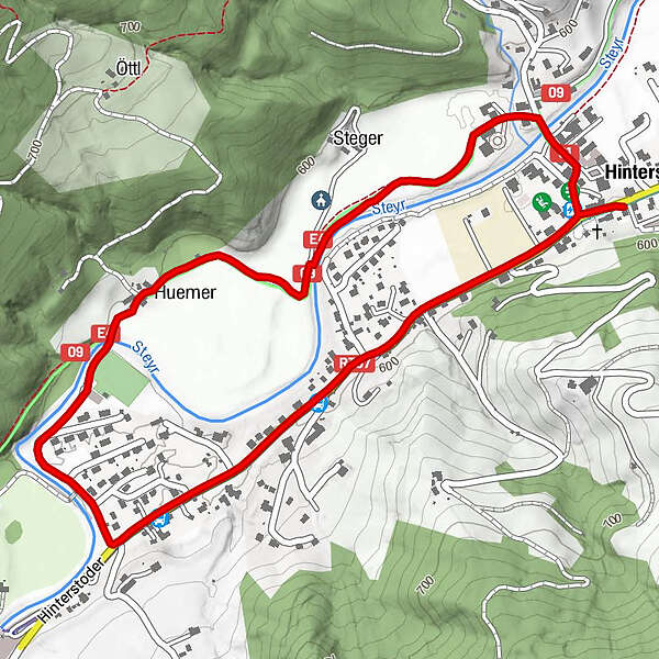
3,06km
587
- 604m
4hm
01:00h
- Difficulté
-
facile
- Évaluation
-
- Point de départ
-
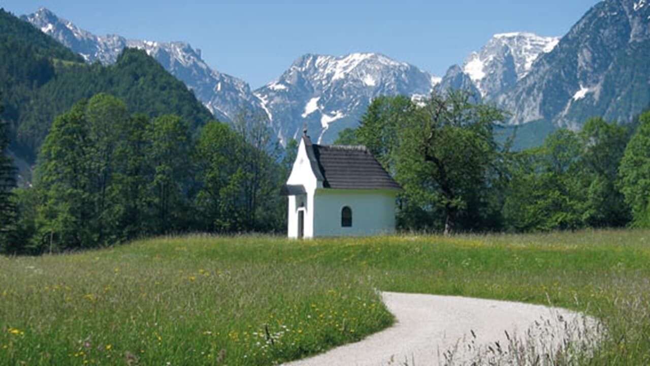
Dorfbrunnen Hinterstoder
- Parcours
-
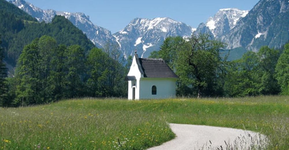
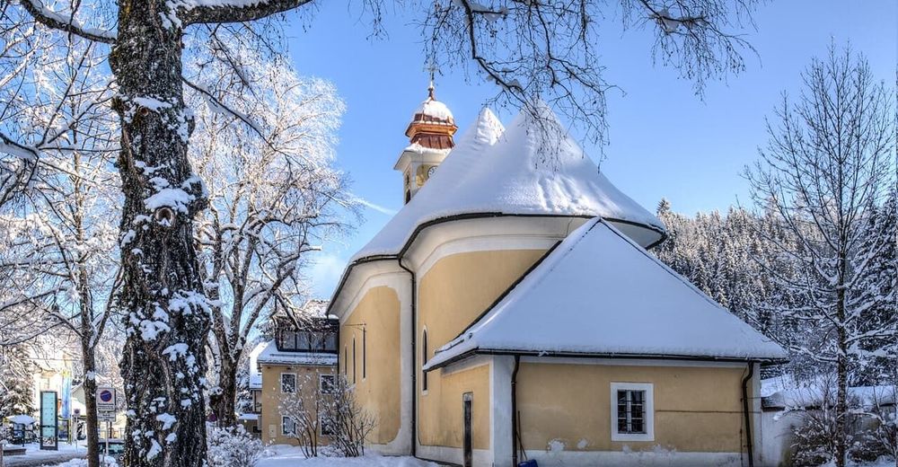
HinterstoderPfarrkirche Kreuzerhöhung0,0 kmGasthof Zur Post0,0 kmKleiner Italiener3,0 kmGasthof Zur Post3,0 km
- Meilleure saison
-
janv.févr.marsavrilmaijuinjuil.aoûtsept.oct.nov.déc.
- Hauteur maximale
- 604 m
- Repos/Rassembler
-
Jaidhaus, Sportbuffet, Pizzeria Mamamia, Café Annemarie, GH zur Post, Dorfstub´n, Café Gollner, Landgasthof Schmalzerhof
- Cartes
-
Wanderkarte Pyhrn-Priel erhältlich in allen Pyhrn-Priel Tourismusbüros!

GPS Downloads


Nature du chemin
Asphalte
Gravier
Pelouse
Forêt
Rocher
Exposé
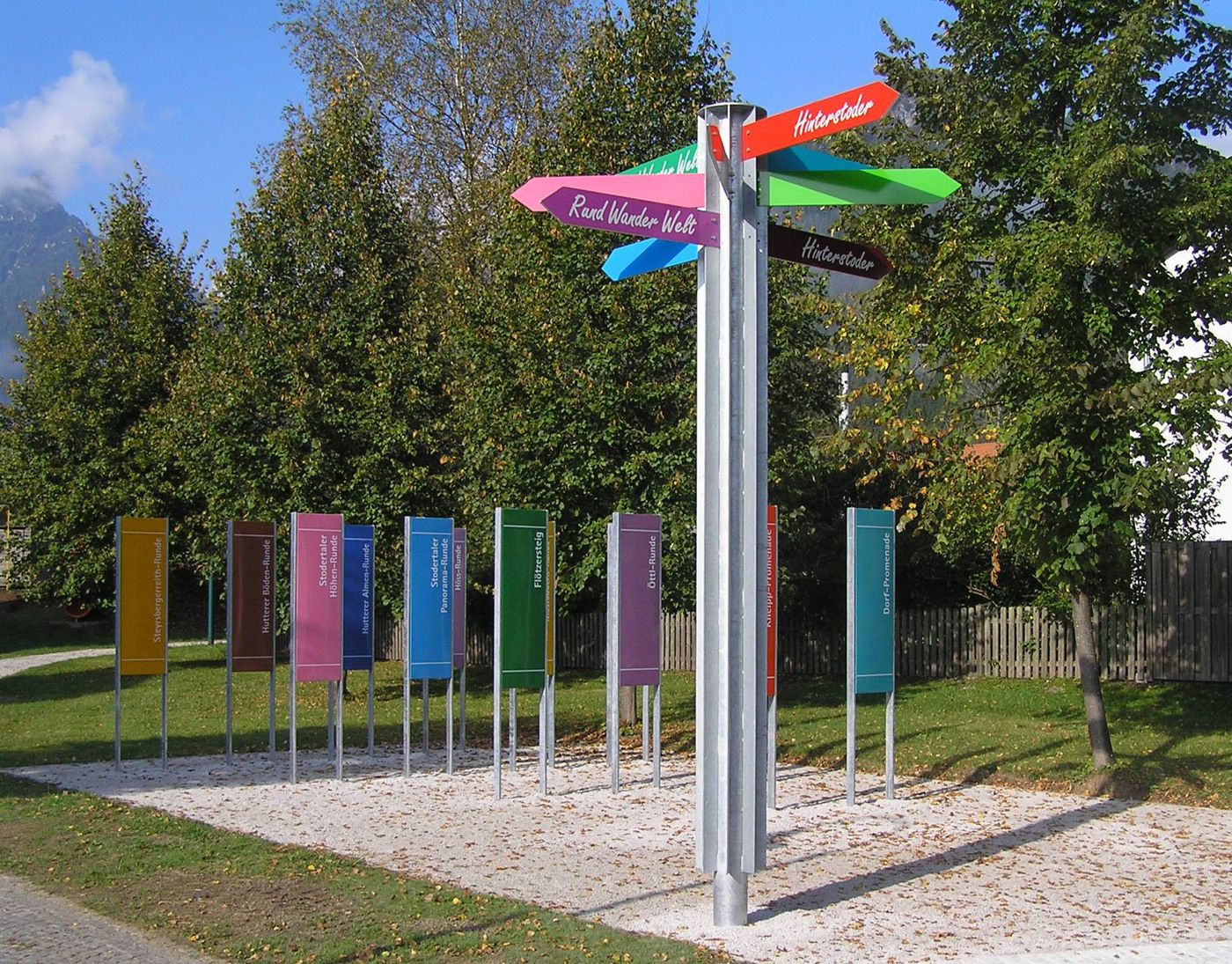
Autres parcours dans les régions
-
Traunviertel
1940
-
Urlaubsregion Pyhrn - Priel
1440
-
Hinterstoder
395


