


Dates des itinéraires
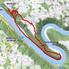
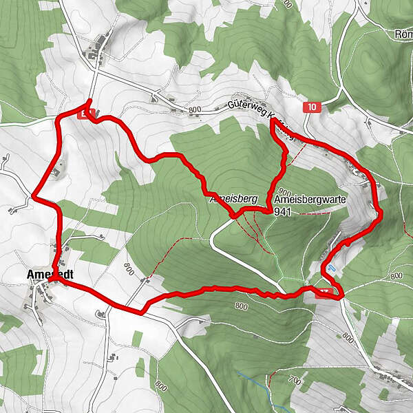
7,42km
734
- 944m
286hm
294hm
01:47h
- Brève description
-
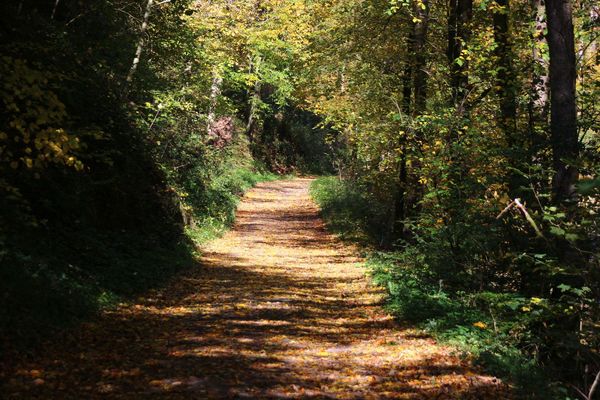
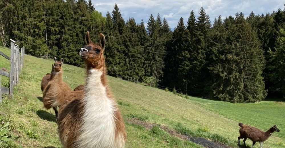
Gemütliche Wanderung rund um den Ameisberg.
- Difficulté
-
facile
- Évaluation
-
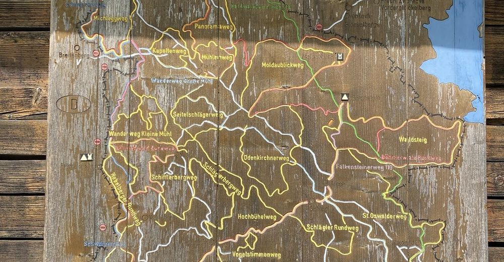
- Parcours
-
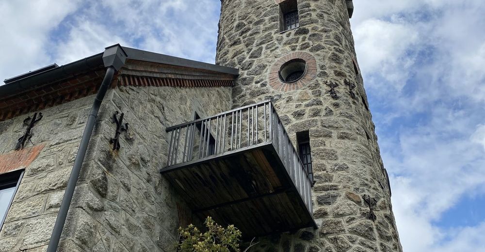
Amesedt0,0 kmHallschlag1,5 kmAmeisberg (941 m)2,9 kmAmeisbergwarte2,9 kmGasthaus Fuchs4,3 kmMitternschlag4,4 kmAmesedt7,2 km
- Meilleure saison
-
janv.févr.marsavrilmaijuinjuil.aoûtsept.oct.nov.déc.
- Hauteur maximale
- 944 m


GPS Downloads


Autres parcours dans les régions