
Dates des itinéraires
11,2km
490
- 629m
186hm
178hm
03:30h
- Brève description
-
Ideal für Familien und Senjoren
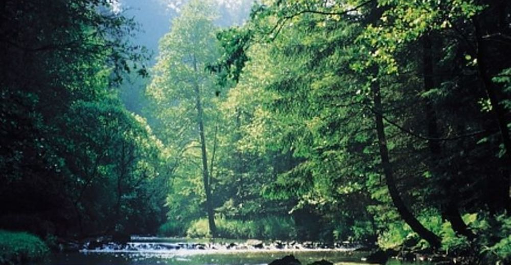
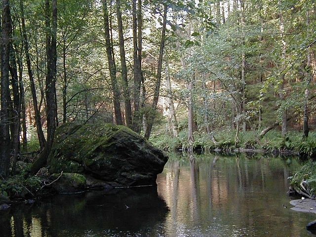
Großteils Waldwege - Difficulté
-
moyen
- Évaluation
-
- Point de départ
-
Der Ort Haslach oder unser Landgasthof.
- Parcours
-
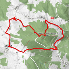
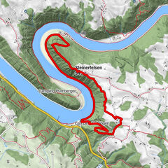
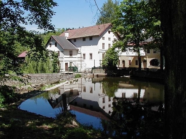
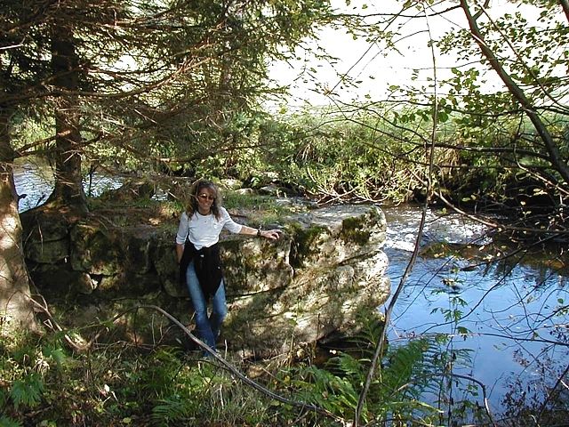
Haslach an der Mühl0,0 kmPfarrkirche Haslach, St. Nikolaus0,1 kmNeudorf5,8 kmLandgasthof Diendorfer5,9 kmNotarquelle10,3 kmPfarrkirche Haslach, St. Nikolaus11,0 kmHaslach an der Mühl11,1 km
- Meilleure saison
-
janv.févr.marsavrilmaijuinjuil.aoûtsept.oct.nov.déc.
- Hauteur maximale
- 629 m
- Repos/Rassembler
-
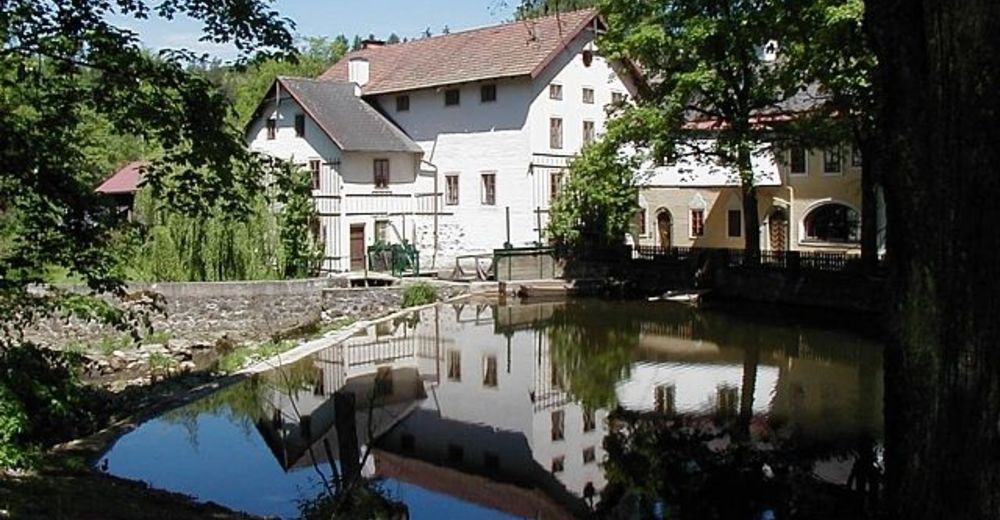
Im Landgasthof Diendorfer
- Cartes
-
Wanderkarte Böhmerwald
GPS Downloads


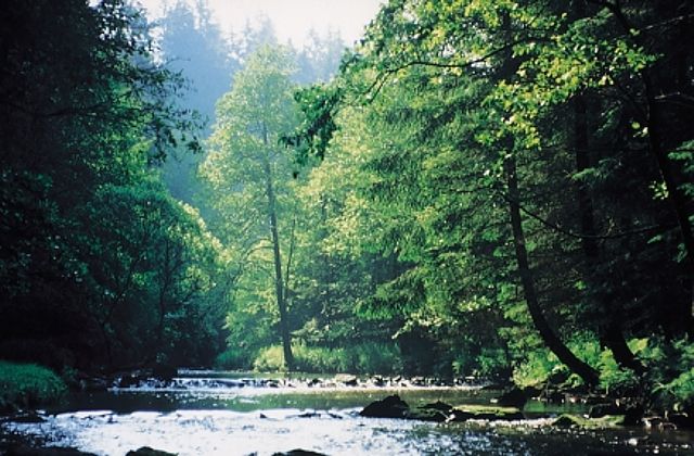
Nature du chemin
Asphalte
Gravier
Pelouse
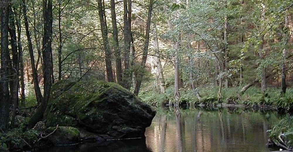
Forêt
Rocher
Exposé
Autres parcours dans les régions
-
Mühlviertel
1782
-
Mühlviertler Hochland
751
-
Haslach an der Mühl
199