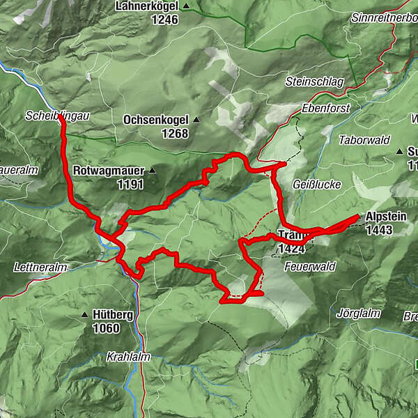
Hiking path to the Ebenforstalm, Trämpl & Alpstein,

Randonnée

© Nationalpark Kalkalpen/Sieghartsleitner - <a href="http://www.kalkalpen.at">Nationalpark Kalkalpen</a>

© Nationalpark Kalkalpen - <a href="http://www.kalkalpen.at">Nationalpark Kalkalpen</a>

© Nationalpark Kalkalpen - <a href="http://www.kalkalpen.at">Nationalpark Kalkalpen</a>

© Nationalpark Kalkalpen - <a href="http://www.kalkalpen.at">Nationalpark Kalkalpen</a>

© Nationalpark Kalkalpen - <a href="http://www.kalkalpen.at">Nationalpark Kalkalpen</a>

© Nationalpark Kalkalpen/Zak - <a href="http://www.kalkalpen.at">Nationalpark Kalkalpen</a>

© Nationalpark Kalkalpen - <a href="http://www.kalkalpen.at">Nationalpark Kalkalpen</a>

© Nationalpark Kalkalpen/Sieghartsleitner - <a href="http://www.kalkalpen.at">Nationalpark Kalkalpen</a>

- Brève description
-
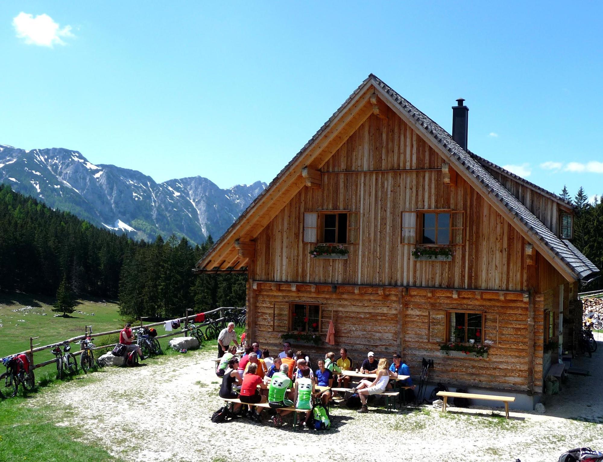
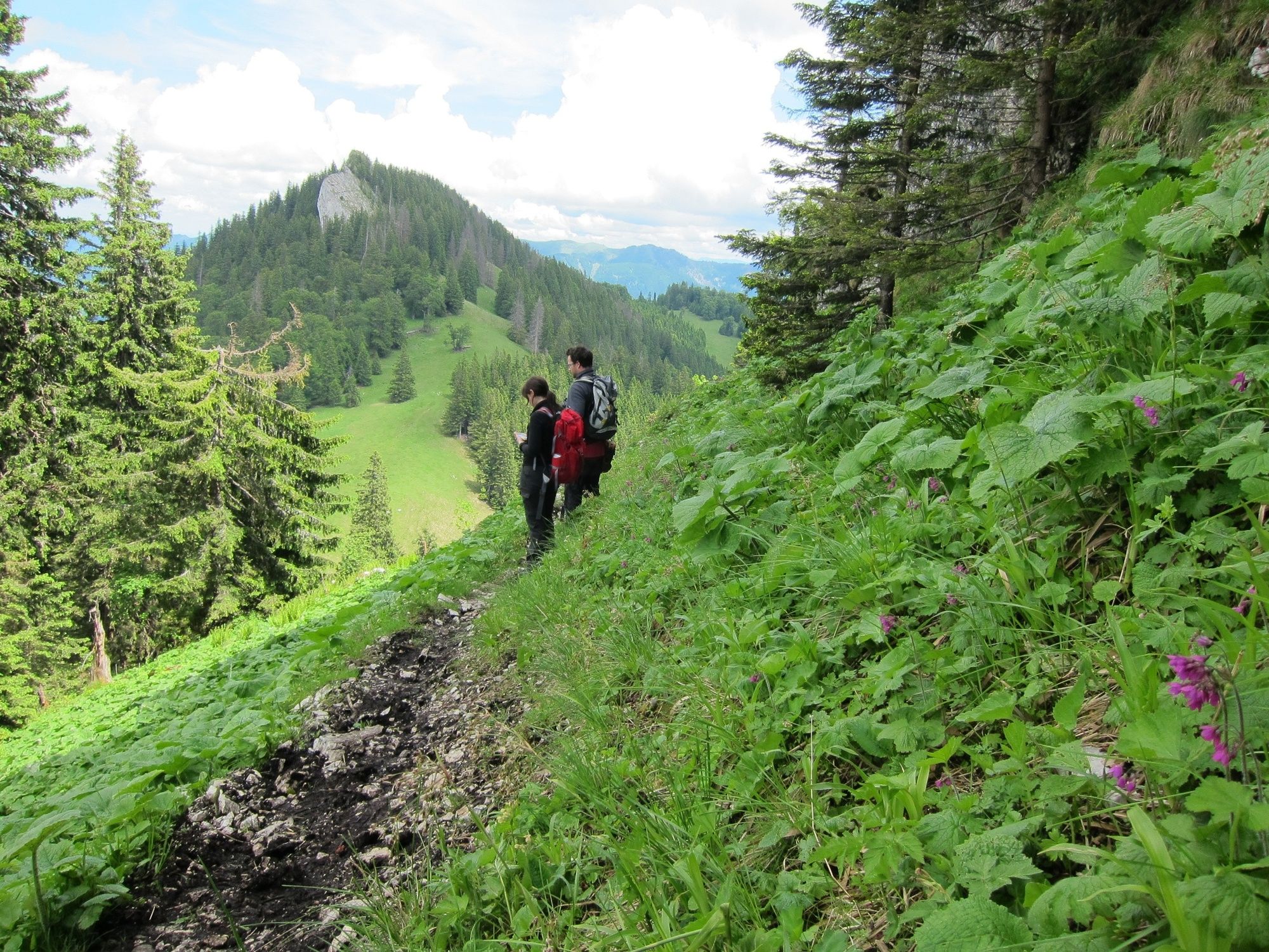
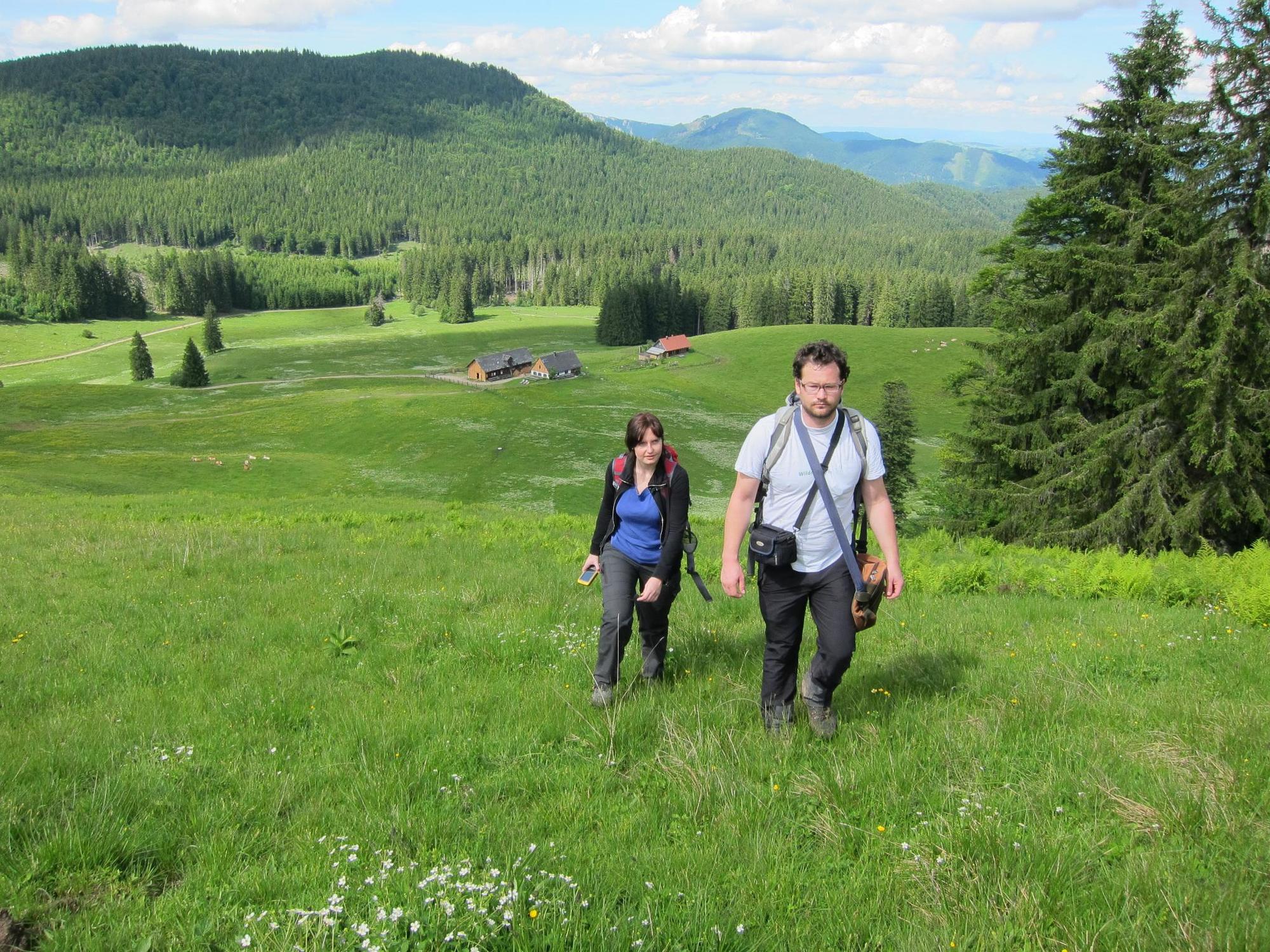
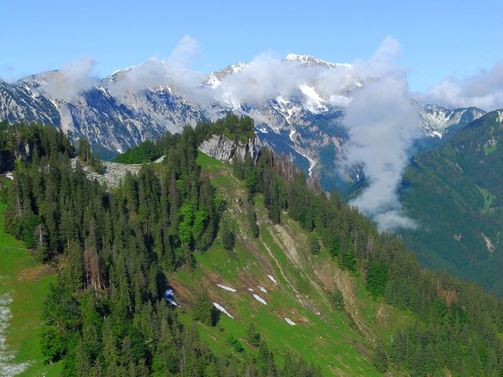
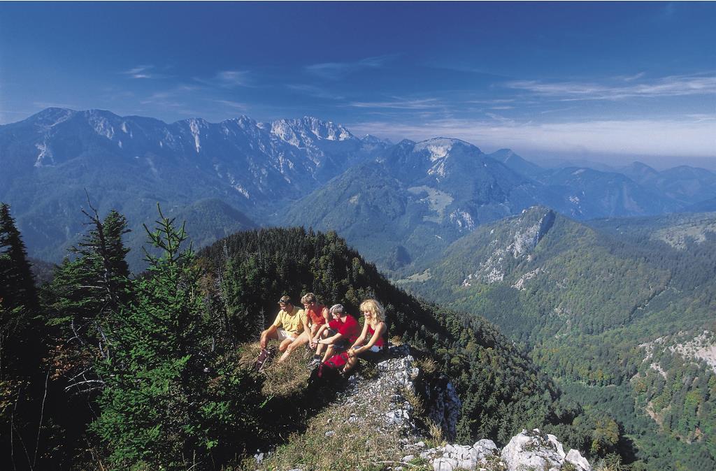
Beautiful alpine hike from Bodinggraben to Schaumbergalm and via the two summits Trämpl and Alpstein to the Ebenforstalm. From there you go back to the Bodenggraben, where the Jagahäusl invites you to stop.
- Difficulté
-
moyen
- Évaluation
-
- Parcours
-
Jagahäusl1,9 kmSchaumbergalm5,4 kmTrämpl (1.424 m)6,9 kmAlpstein (1.443 m)8,2 kmEbenforstalm10,1 kmJagahäusl13,5 km
- Meilleure saison
-
janv.févr.marsavrilmaijuinjuil.aoûtsept.oct.nov.déc.
- Hauteur maximale
- 1.395 m
- Point de mire
-
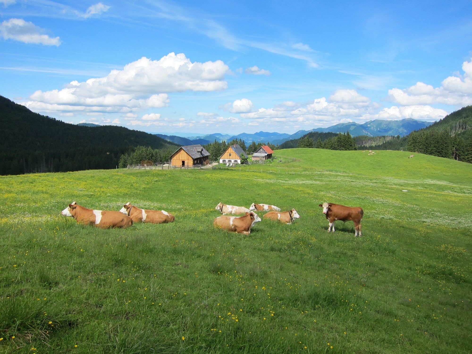
Bodinggraben, Molln, Oberösterreich (Parkplatz Scheiblingau oder Jagahäusl)
- Profil en hauteur
-


- Auteur
-
La randonnée Hiking path to the Ebenforstalm, Trämpl & Alpstein, est utilisé par outdooractive.com fourni par.
GPS Downloads


Informations générales
Point de rassemblement
Flore
Autres parcours dans les régions


