Dates des itinéraires
3,02km
471
- 600m
101hm
01:30h
- Évaluation
-
- Point de départ
-
Kirchenplatz - Klostergasse
- Parcours
-
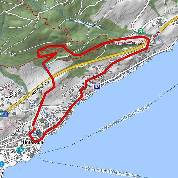
Ellend2,2 kmUnterach am Attersee2,9 kmPfarrkirche Unterach2,9 km
- Hauteur maximale
- 600 m
- Repos/Rassembler
-
Gastronomie im Dorfzentrum
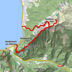
- Cartes
-
Infobüro Unterach
GPS Downloads


Nature du chemin
Asphalte
Gravier
Pelouse
Forêt
Rocher
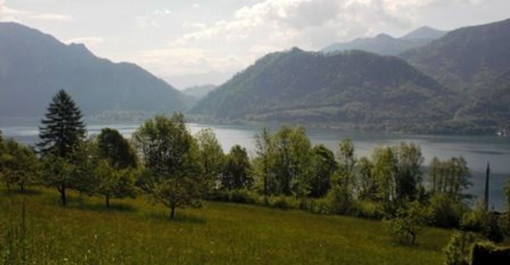
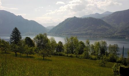
Exposé
Autres parcours dans les régions