

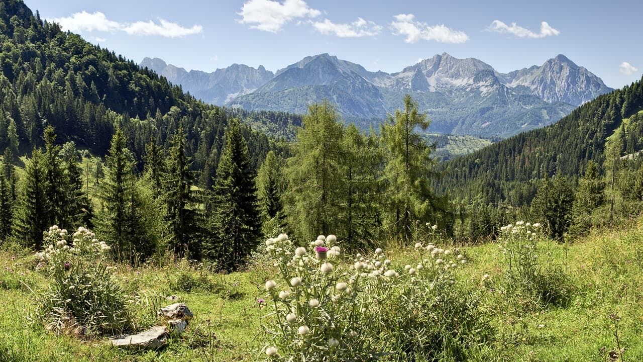
© TVB Pyhrn-Priel/Sulzbacher

© TVB Pyhrn-Priel/Sulzbacher
Dates des itinéraires
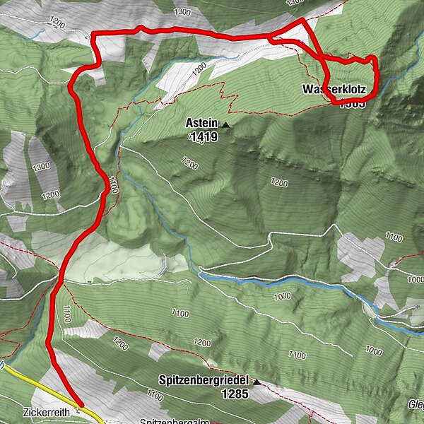
5,81km
980
- 1.460m
476hm
04:30h
- Brève description
-
Rot- einfache Bergwanderung auf Forststraßen und guten Stiegen, im Gipfelbereich ist jedoch Trittsicherheit und Schwindelfreiheit erforderlich.
- Difficulté
-
moyen
- Évaluation
-
- Point de départ
-
Parkplatz bei Almhütte Zickerreith
www.pyhrn-priel.net/de/sommer/2693272... - Parcours
-
ZickerreithAhornsattel3,9 kmWasserklotz (1.505 m)4,8 km
- Meilleure saison
-
janv.févr.marsavrilmaijuinjuil.aoûtsept.oct.nov.déc.
- Hauteur maximale
- 1.460 m
- Repos/Rassembler
-
Zickerreith, Hanslalm, Puglalm und Karlhütte
- Cartes
-
Wanderkarte Pyhrn-Priel erhätlich in allen Pyhrn-Priel Tourismusbüros!

GPS Downloads


Nature du chemin
Asphalte
Gravier
Pelouse
Forêt
Rocher
Exposé
Autres parcours dans les régions
-
Gesäuse
2225
-
Steyr und die Nationalpark Region
1371
-
Rosenau am Hengstpaß
428


