© Gemeinde Wilhering / Bayer

© WGD Donau Oberösterreich Tourismus GmbH/Andreas Kranzmayr - Andreas Kranzmayr


- Brève description
-
Kürnberg Forest - Mühlbach - Winkeln - Schönering - Fall – Fish Theme Trail - Wilhering
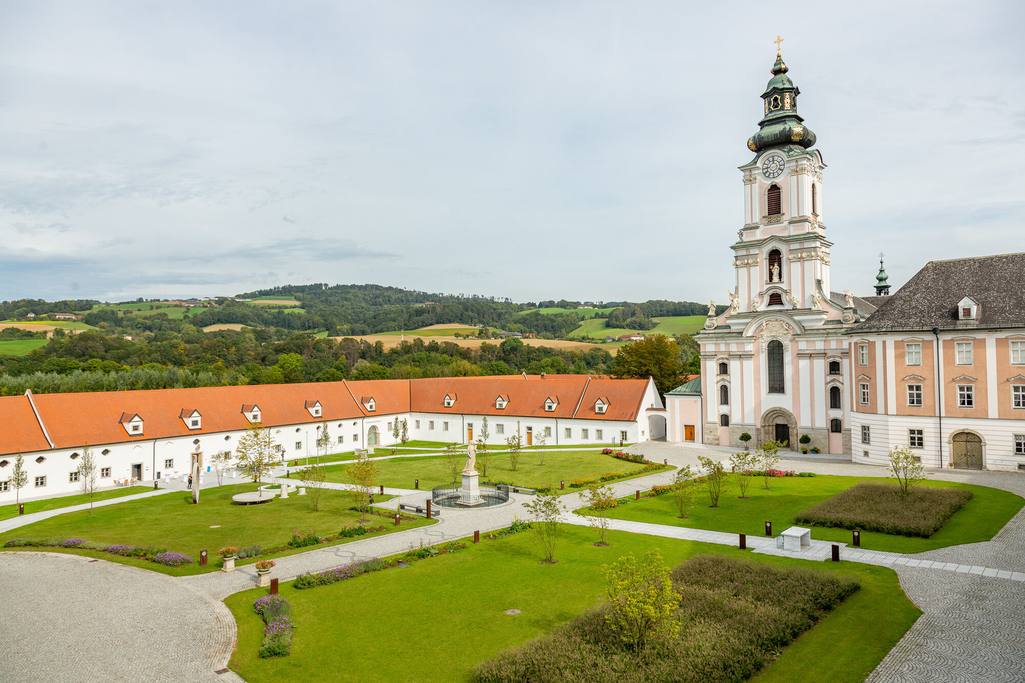
This circuit leads across and fields and meadows with wonderful panoramic views and a 1000-year-old linden tree, through Kürnbergerwald forest, along Innbach River, the Danube wetlands and the Danube shores.
- Difficulté
-
facile
- Évaluation
-
- Parcours
-
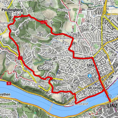
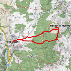
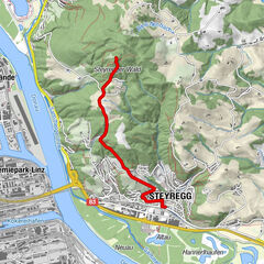
OttensheimWilhering Ufer0,0 kmRosenfeldweg0,6 kmHöf0,8 kmGasthof Leitner (Closed)5,9 kmWinkeln7,5 kmSchönering8,6 kmCafe Restaurant Regina8,7 kmGasthof Herzog-Übleis8,7 kmGasthof Hollaus10,9 kmFall13,3 kmWilhering Ufer15,1 kmOttensheim15,2 km
- Meilleure saison
-
janv.févr.marsavrilmaijuinjuil.aoûtsept.oct.nov.déc.
- Hauteur maximale
- 457 m
- Point de mire
-
Mooring at the wire rope bridge (ferry) in Ufer
- Profil en hauteur
-


- Auteur
-
La randonnée Wilhering: Farmers’ and Wood-Cutters’ Loop Trail est utilisé par outdooractive.com fourni par.
GPS Downloads


Informations générales
Point de rassemblement
Culturel/Historiquement
Flore
Prometteur
Autres parcours dans les régions
-
Mühlviertel
1783
-
Donau Oberösterreich
779
-
Wilhering
303