
Dates des itinéraires
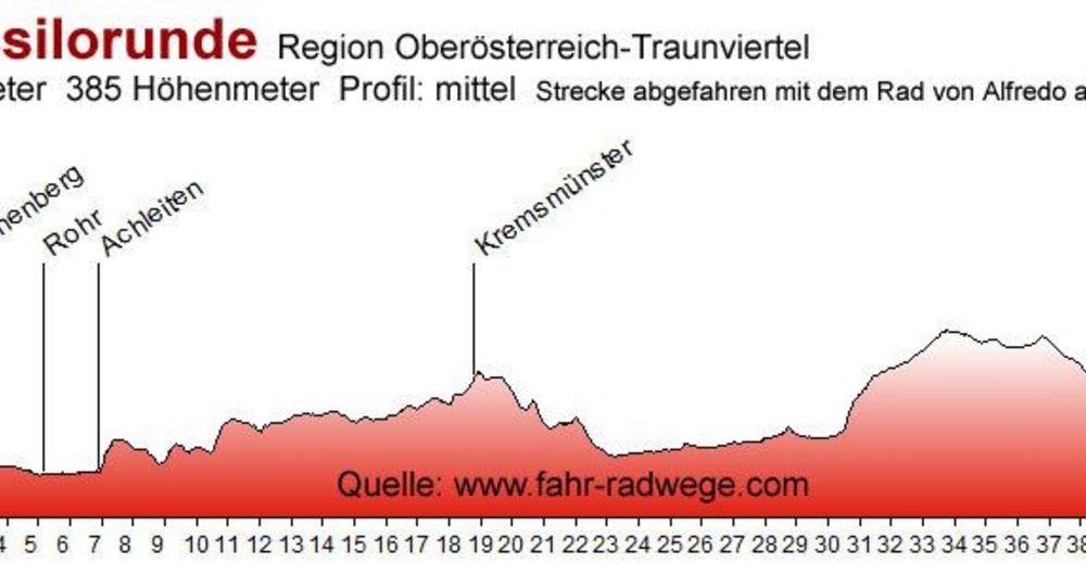
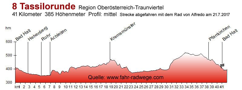
40,03km
321
- 493m
385hm
03:00h
- Brève description
-
Gemütliche Radtour mit möglichst kraftsparender Trassierung, Schwerpunkt Kultur.
Quelle des Textes: www.badhall.at - Difficulté
-
facile
- Évaluation
-
- Point de départ
-
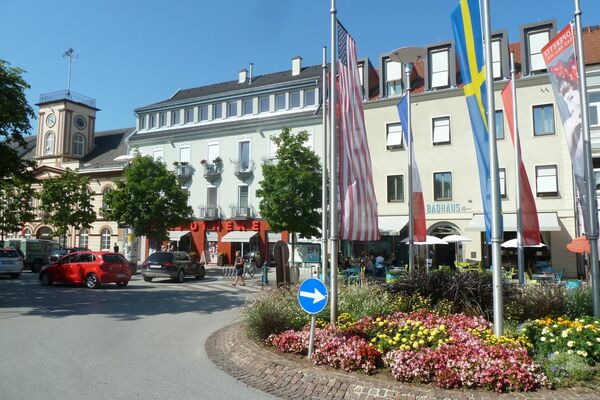
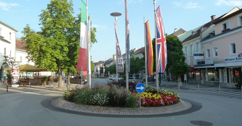
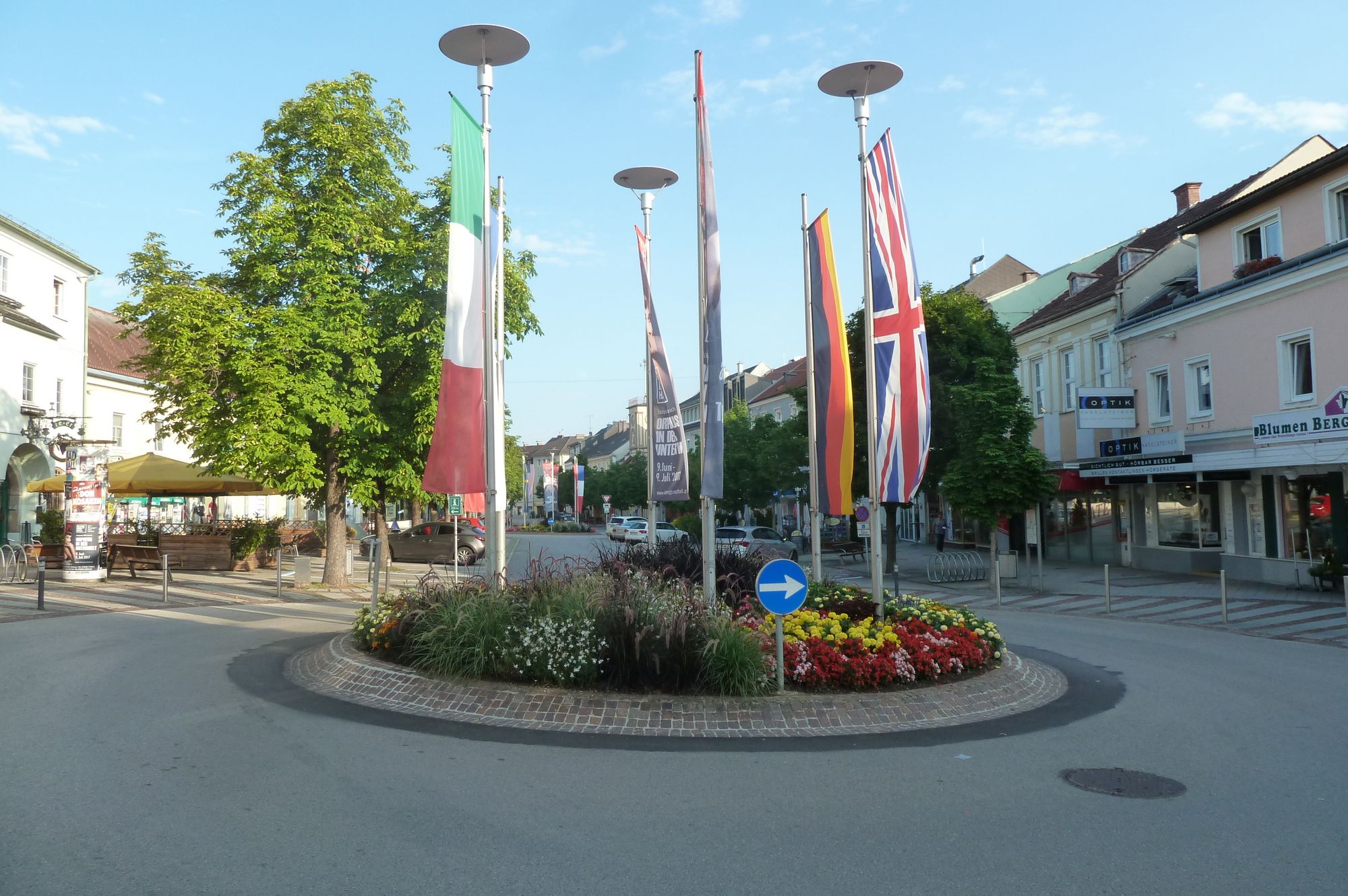
Start in Bad Hall beim Forum Hall
- Parcours
-
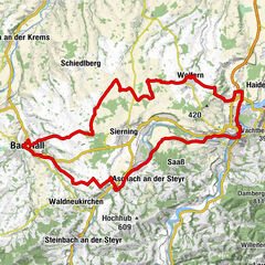
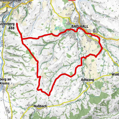
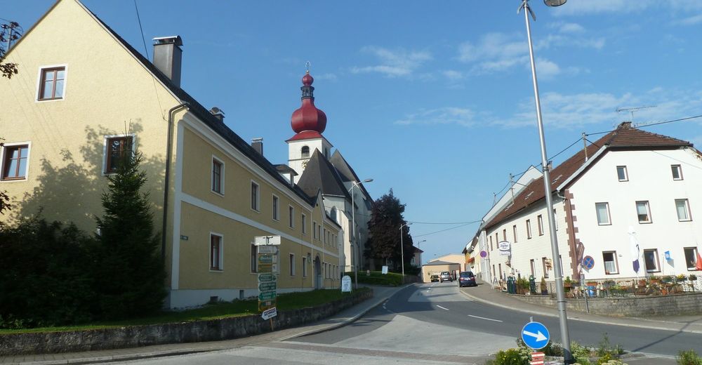
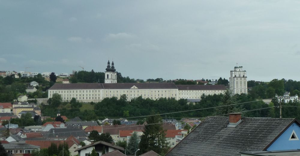
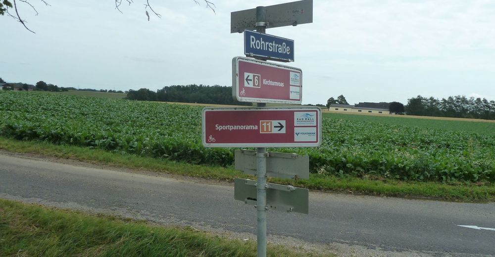
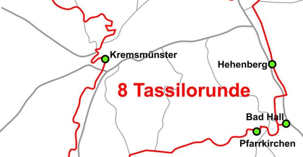
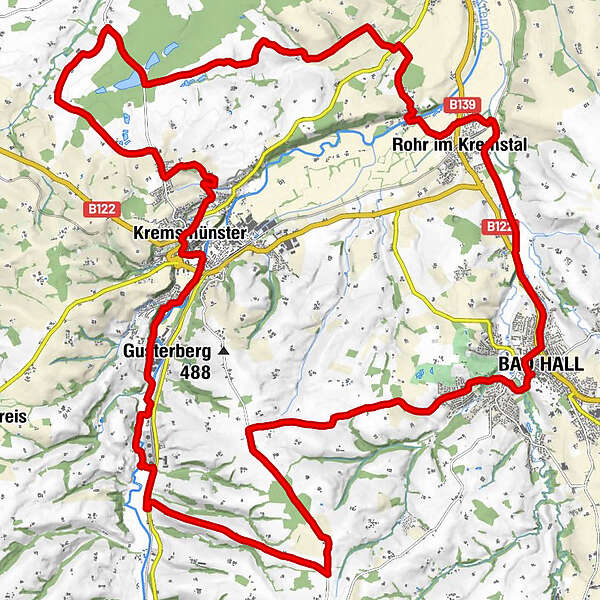
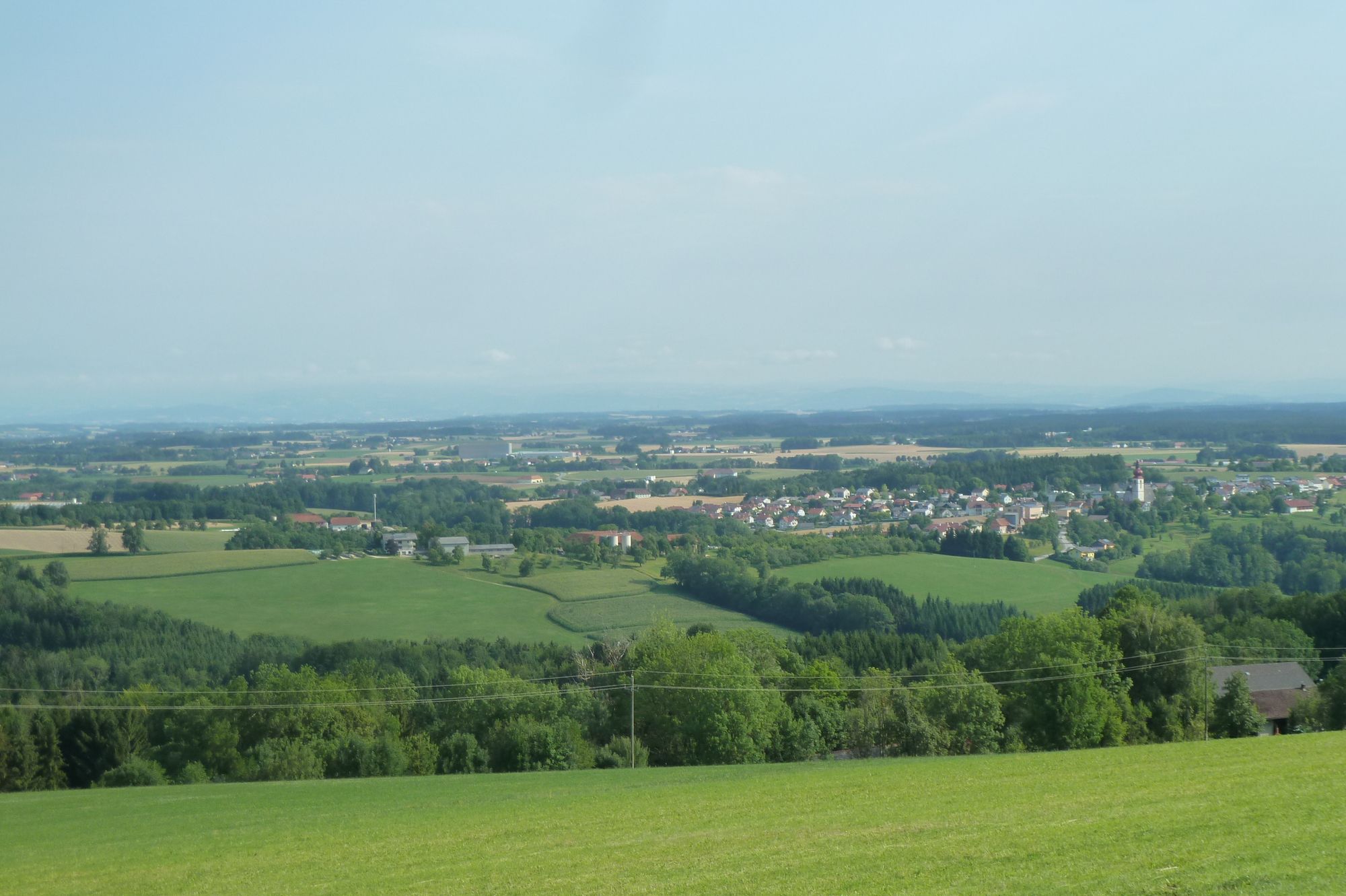
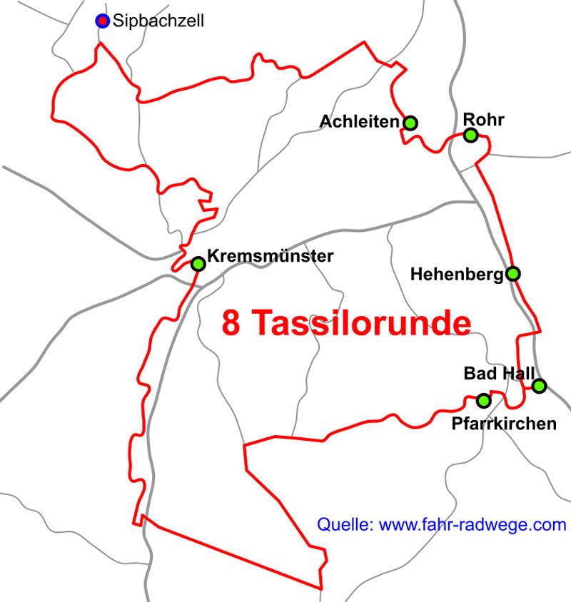
Bad HallPfarrkirche Bad Hall0,1 kmLukaskirche0,4 kmRohr im Kremstal4,3 kmAchleiten7,2 kmSchachermairdorf15,6 kmHeiligenkreuz16,3 kmMairdorf18,9 kmDrei Pinzgauer - Rottensteiner19,0 kmKirchberg20,7 kmLettenmayr-Höhle20,9 kmKremsmünster21,8 kmOberburgfried23,1 kmFeyregg38,2 kmPfarrkirchen bei Bad Hall38,9 kmBad Hall40,0 km
- Hauteur maximale
- 493 m
- Point de mire
-
Bad Hall beim Forum Hall
- Cartes


- Informations par téléphone
-
0043(0) 664 8499266
- Link
- http://www.seenradwege.com/
- Source
- Alfredo
GPS Downloads


Circuits
Asphalte
Gravier
Forêt
Sentiers de montagne
Sentiers singletrail
Trial
Circulation
Autres parcours dans les régions
-
Traunviertel
135
-
Tourismusregion Bad Hall
83
-
Kremsmünster
44