© Tourismusverband Steyr Nationalpark Region - Martin Weymayer
Dates des itinéraires
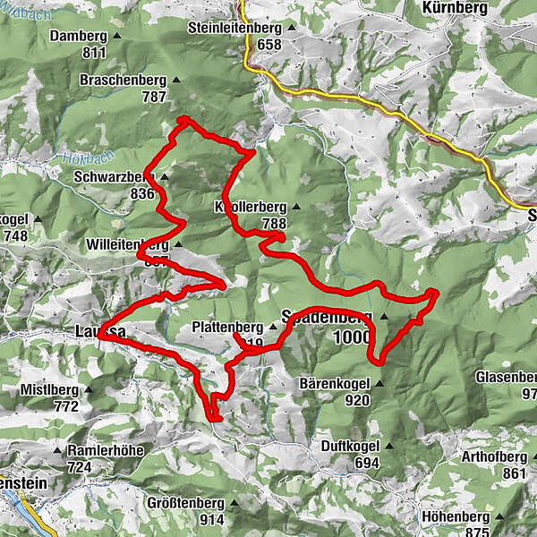
32,02km
430
- 916m
911hm
909hm
04:30h

- Brève description
-
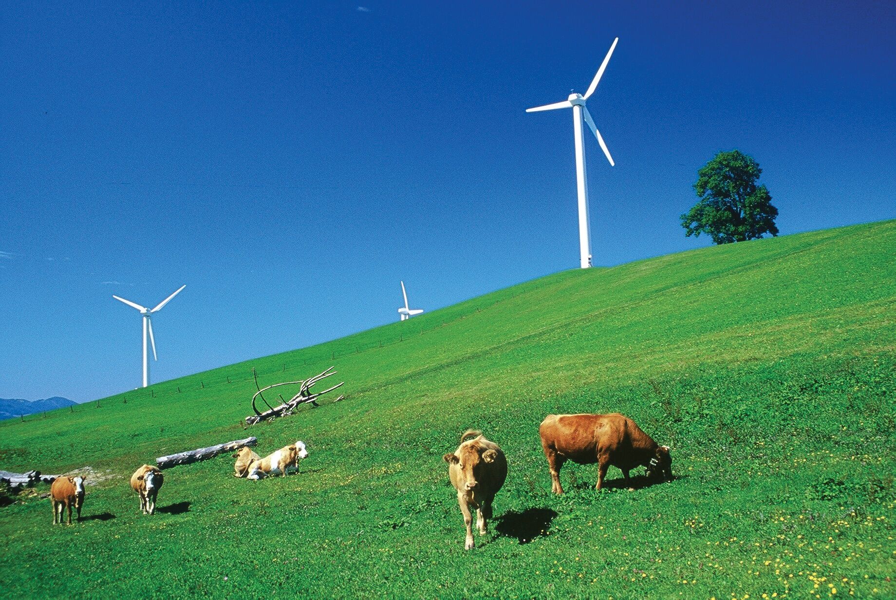
Free as the wind! Thus, on the Plattenberg, the local mountain above the Laussa Valley, not only the wind turbines rotate on high masts, but also the wheels of the bikes. This bike tour is peppered with sweaty uphill passages and in two places signs command you to dismount. As a reward for the efforts, however, you can enjoy views over the Ennstaler Voralpen and far into neighboring Lower Austria again and again.
- Difficulté
-
moyen
- Évaluation
-
- Parcours
-
Kirche LaussaLaussa0,0 kmGasthaus zum Geiger0,1 kmBrücklermauer (770 m)27,6 kmSchöfftalerkapelle28,4 kmBrückenhöhle29,3 kmLaussa31,9 kmKirche Laussa31,9 km
- Meilleure saison
-
janv.févr.marsavrilmaijuinjuil.aoûtsept.oct.nov.déc.
- Hauteur maximale
- 916 m
- Point de mire
-
Laussa
- Profil en hauteur
-

- Auteur
-
La randonnée Laussa - Spadenberg - Plattenberg est utilisé par outdooractive.com fourni par.
GPS Downloads


Autres parcours dans les régions
-
Traunviertel
148
-
Steyr und die Nationalpark Region
116
-
Laussa
39