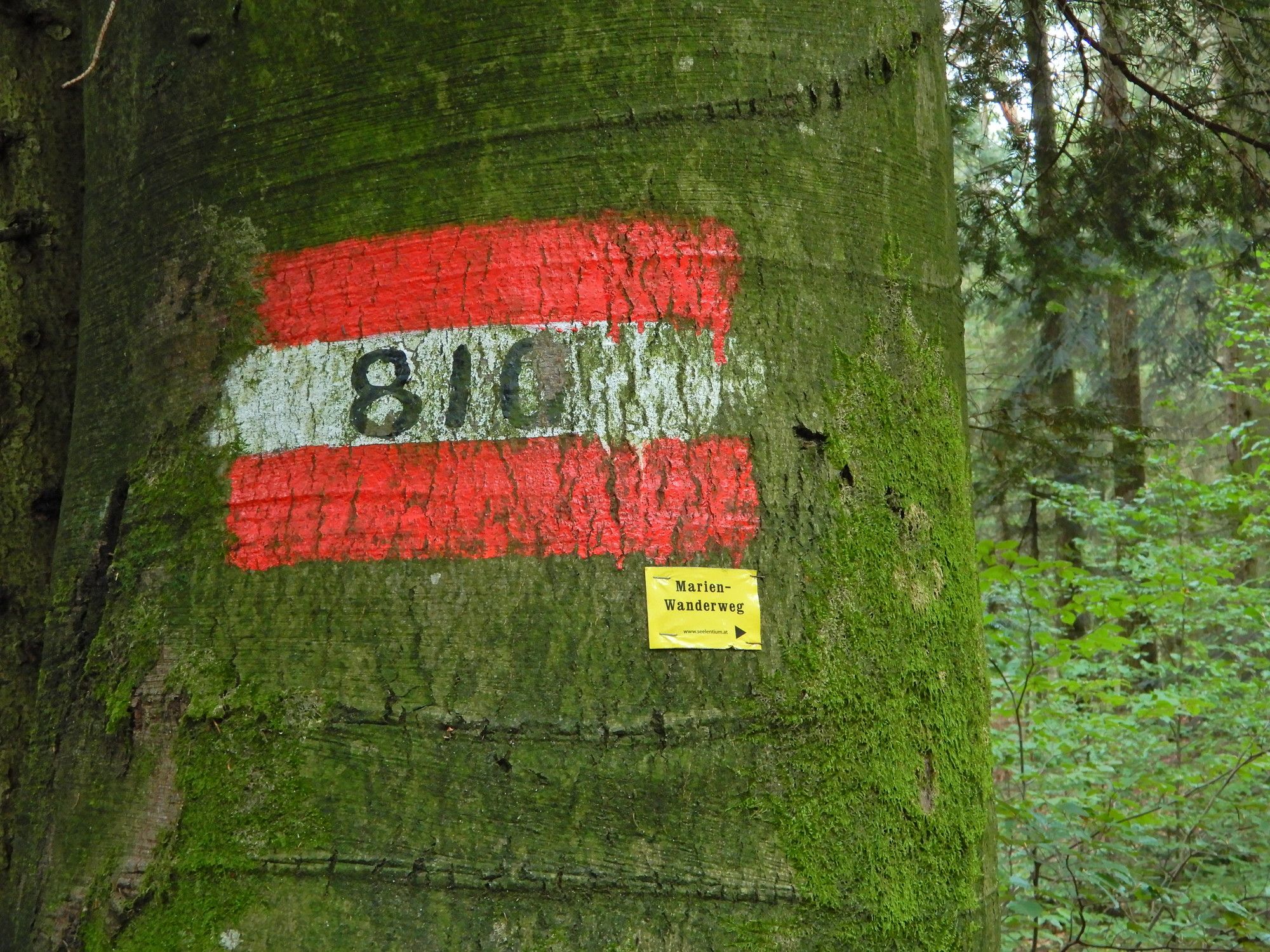
10 Rupertiweg, Etappe 08: Maria Schmolln - Mattighofen

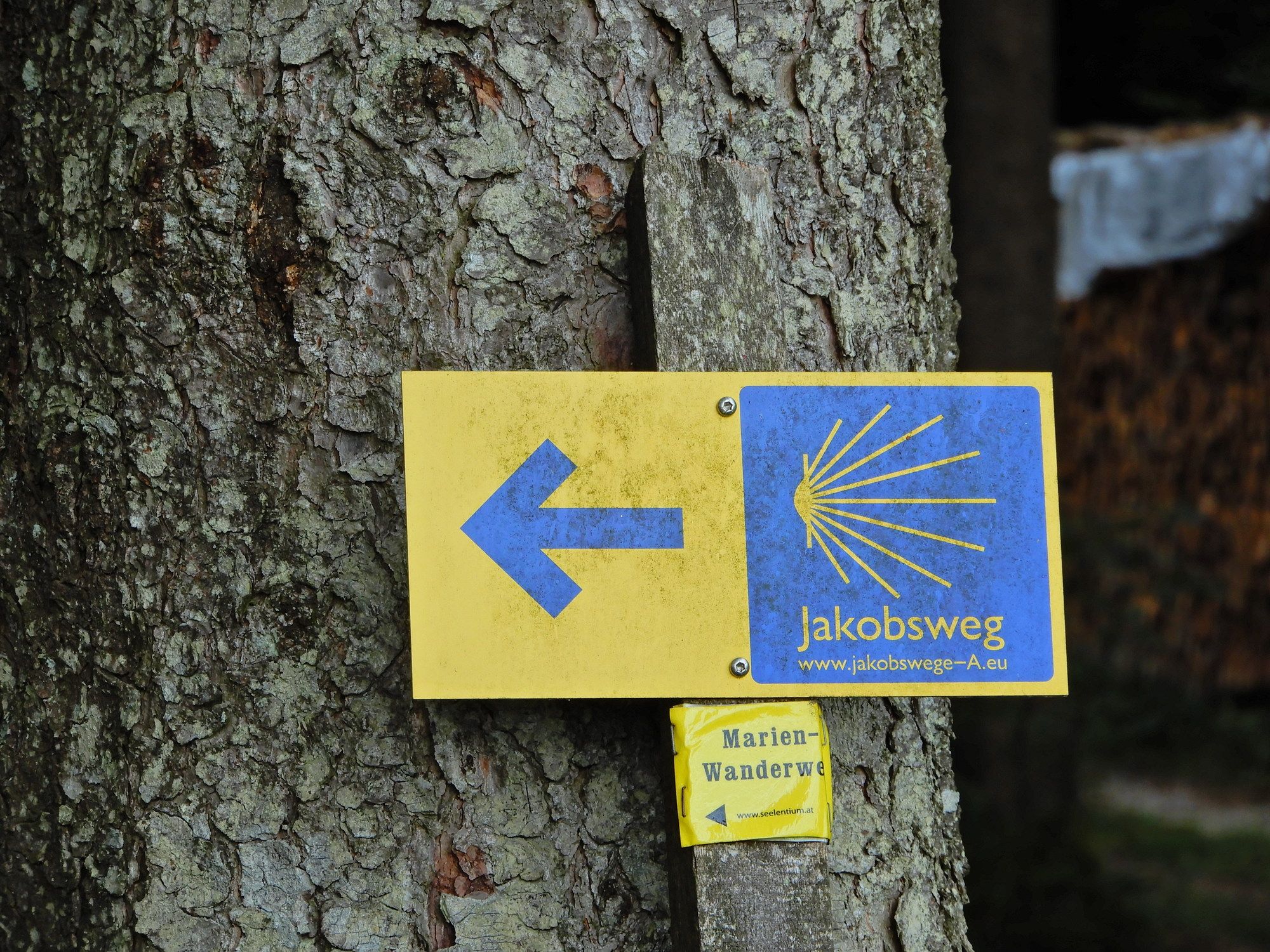
Chemin de Grande Randonnée
© gert gasperin

© gert gasperin
© gert gasperin

© gert gasperin
© gert gasperin
© gert gasperin

© gert gasperin

© gert gasperin
© gert gasperin
© gert gasperin
Dates des itinéraires
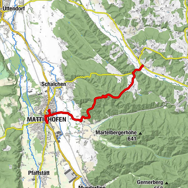
9,66km
443
- 609m
144hm
177hm
02:35h
- Brève description
-
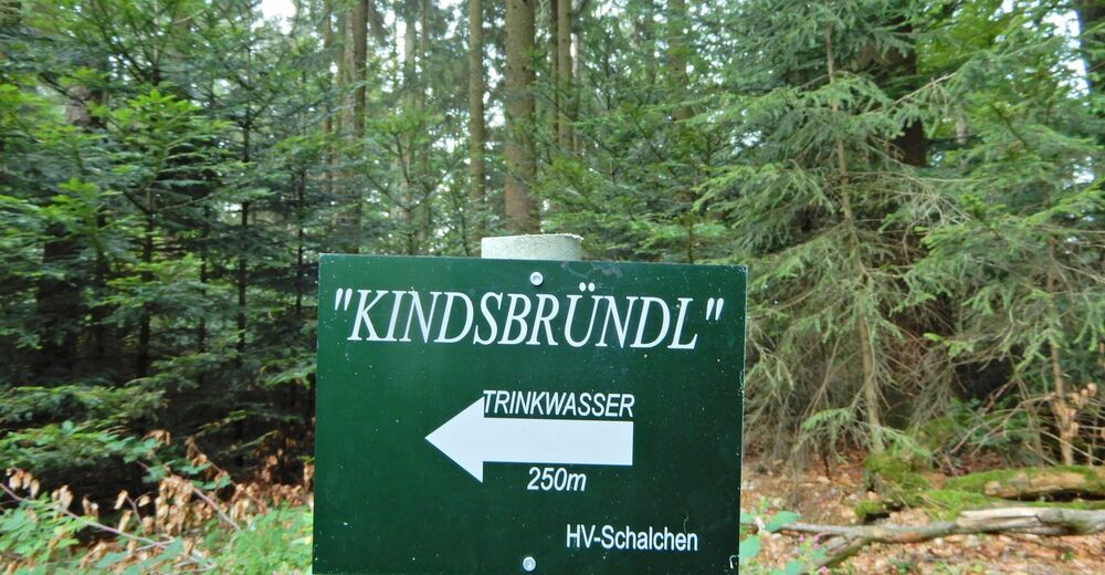
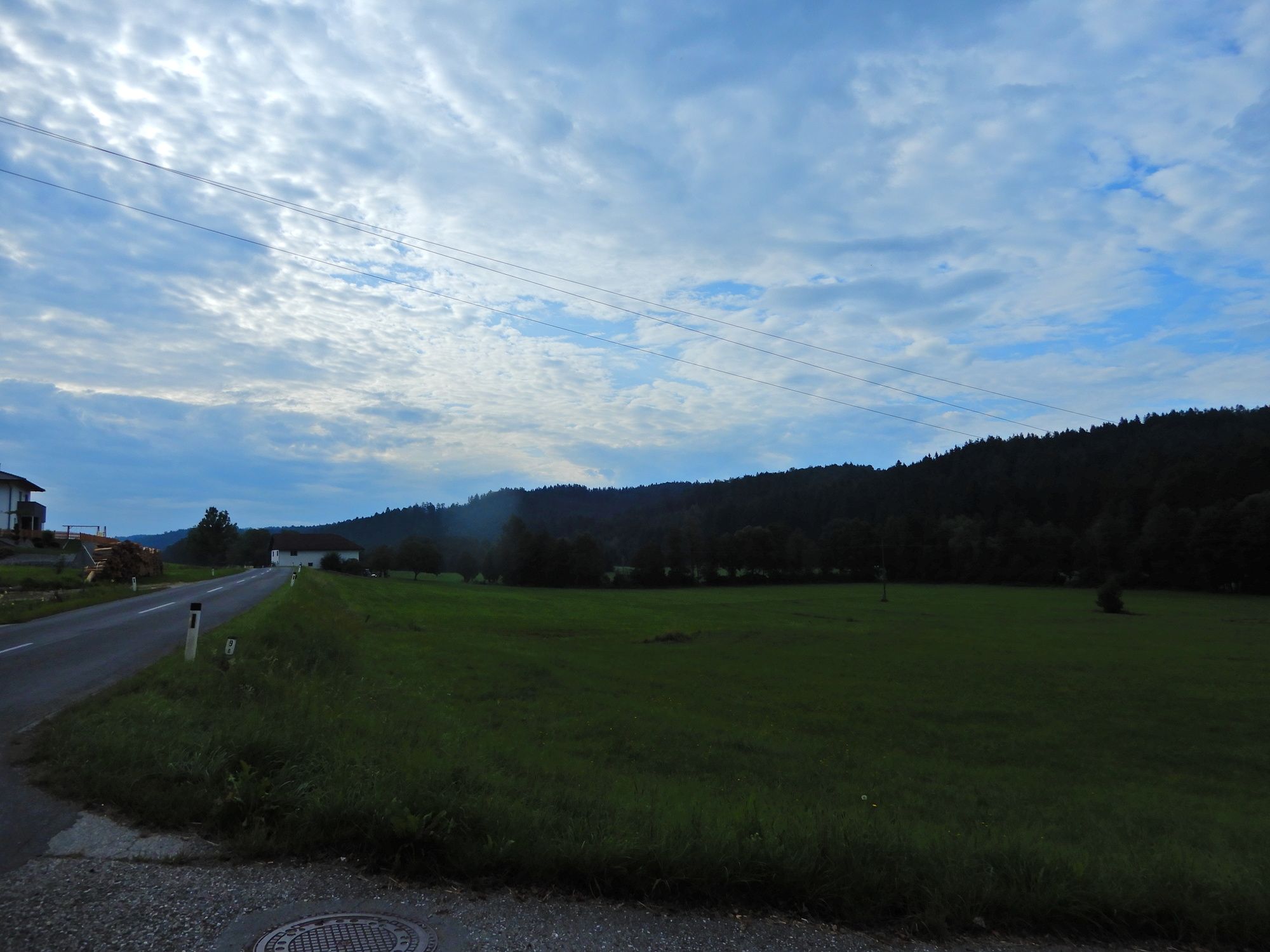
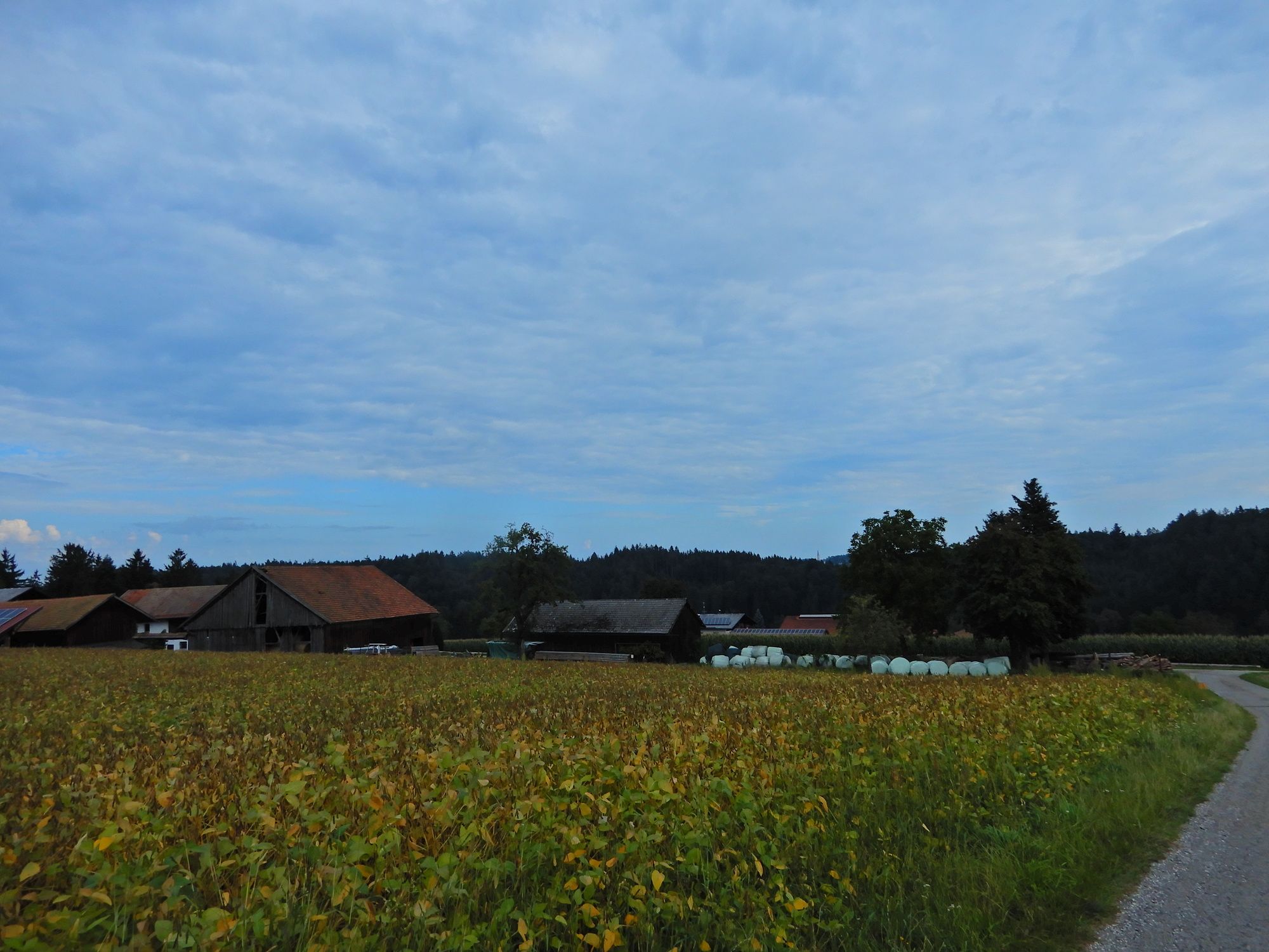
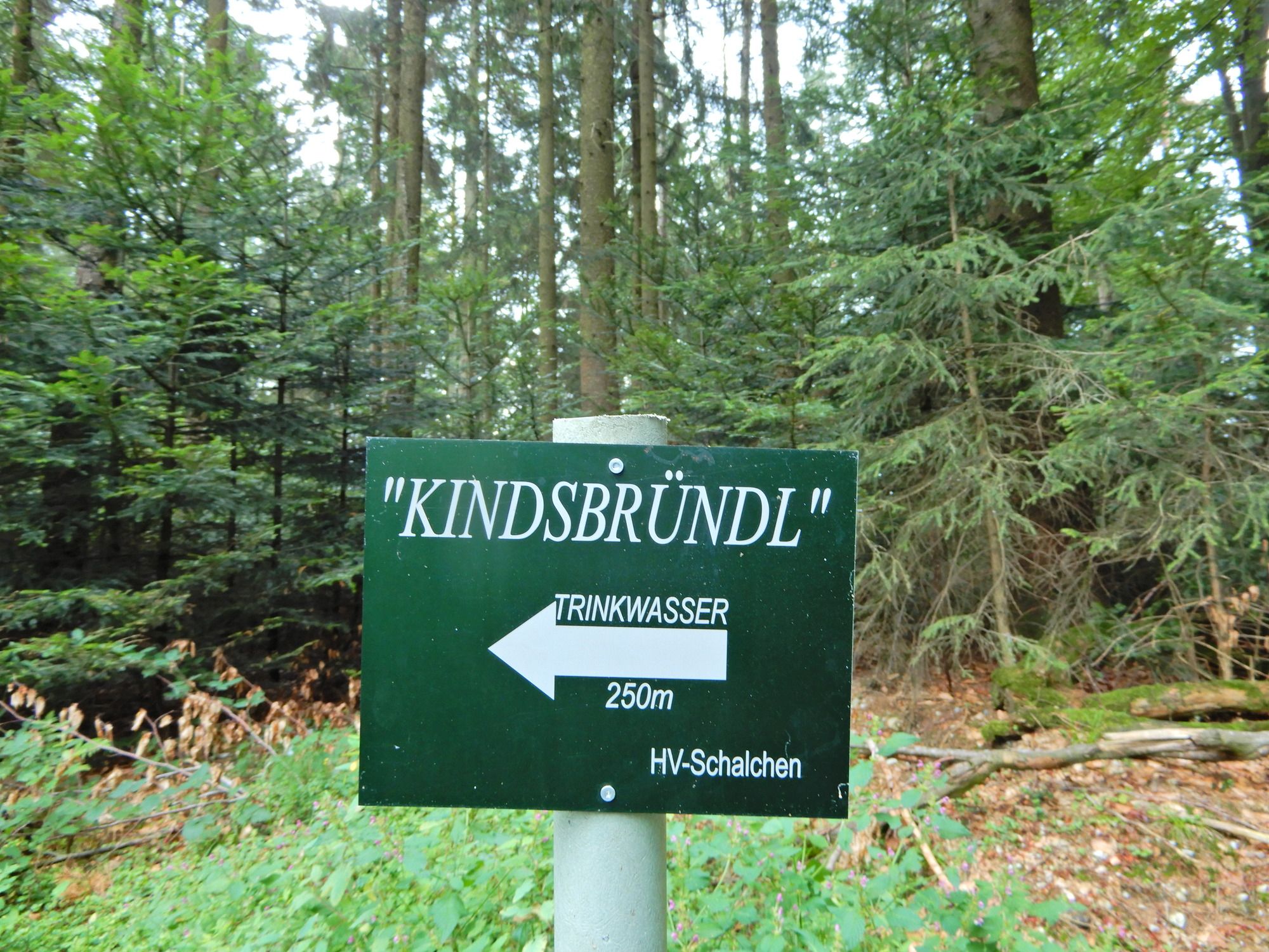
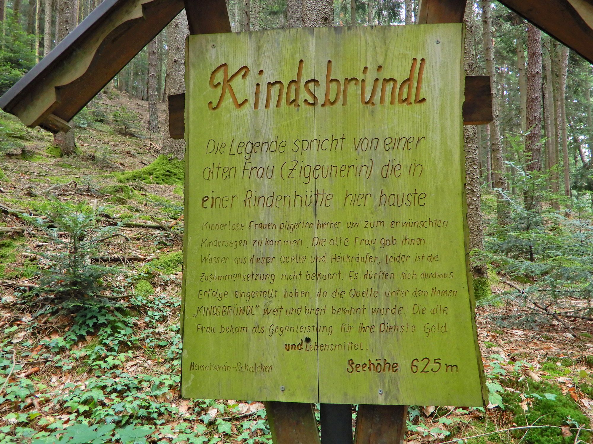
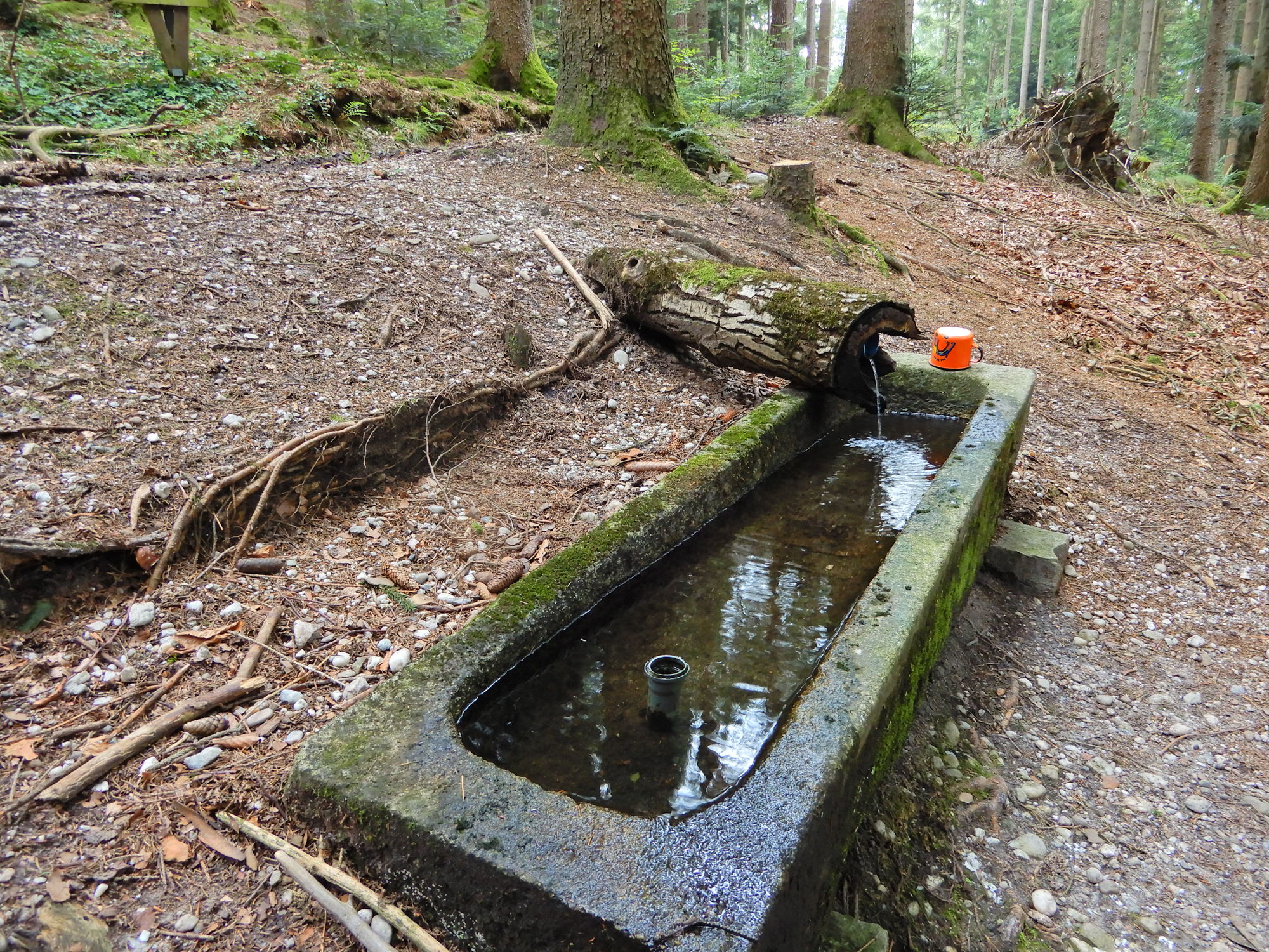
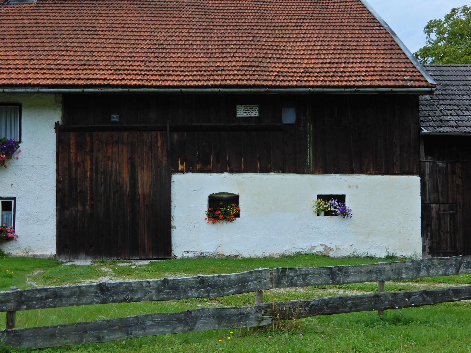
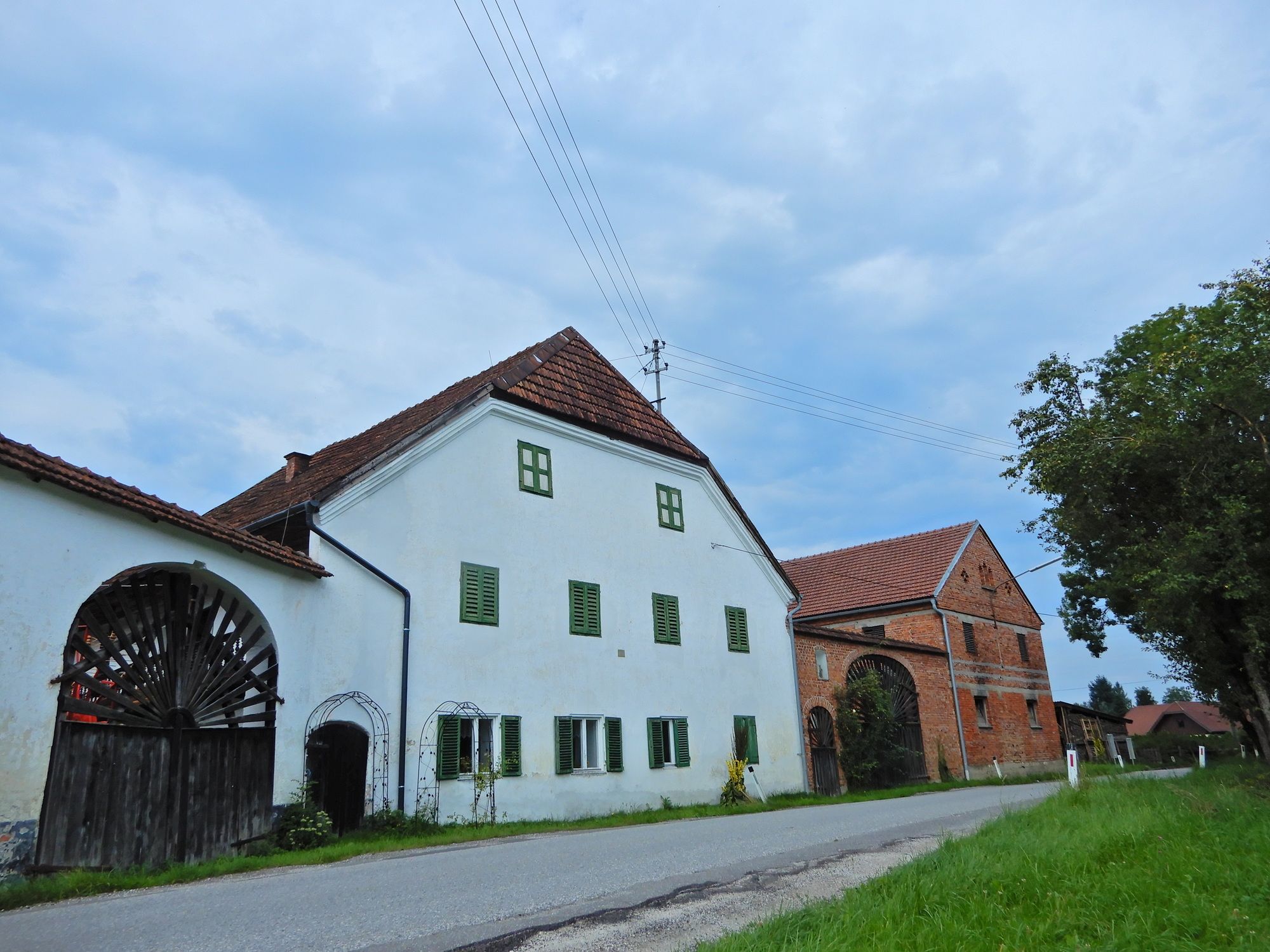
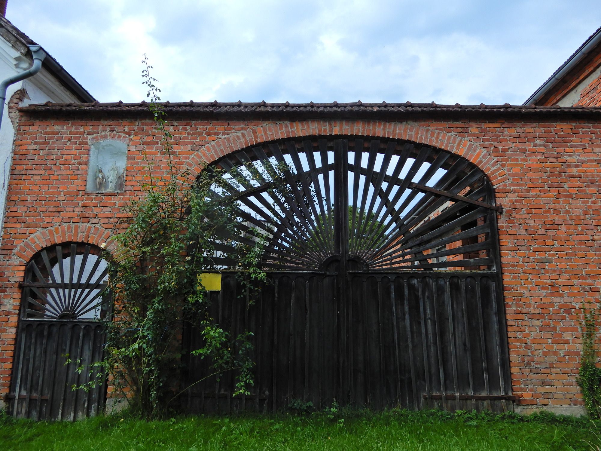
Unterminathal - Perneck - Kindsbründl - Langwiedmoos - Mattighofen
- Difficulté
-
facile
- Évaluation
-
- Point de départ
-
Unterminathal
- Parcours
-
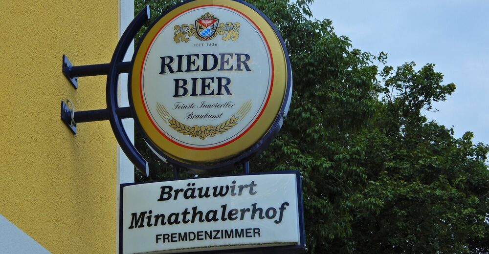
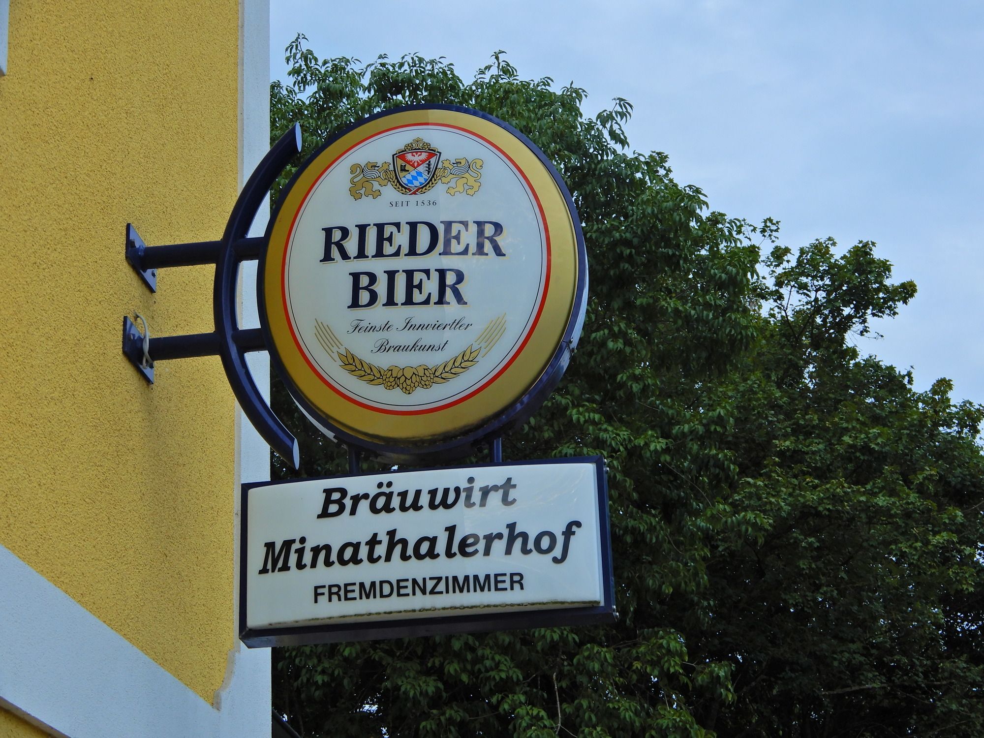
UnterminathalMinathaler Hof0,1 kmAicheck1,4 kmKindsbründl3,4 kmLangwiedmoos6,1 kmOberharlochen6,8 kmMattighofen8,5 kmMattigtalerhof9,4 kmMattighofen9,6 km
- Meilleure saison
-
janv.févr.marsavrilmaijuinjuil.aoûtsept.oct.nov.déc.
- Hauteur maximale
- 609 m
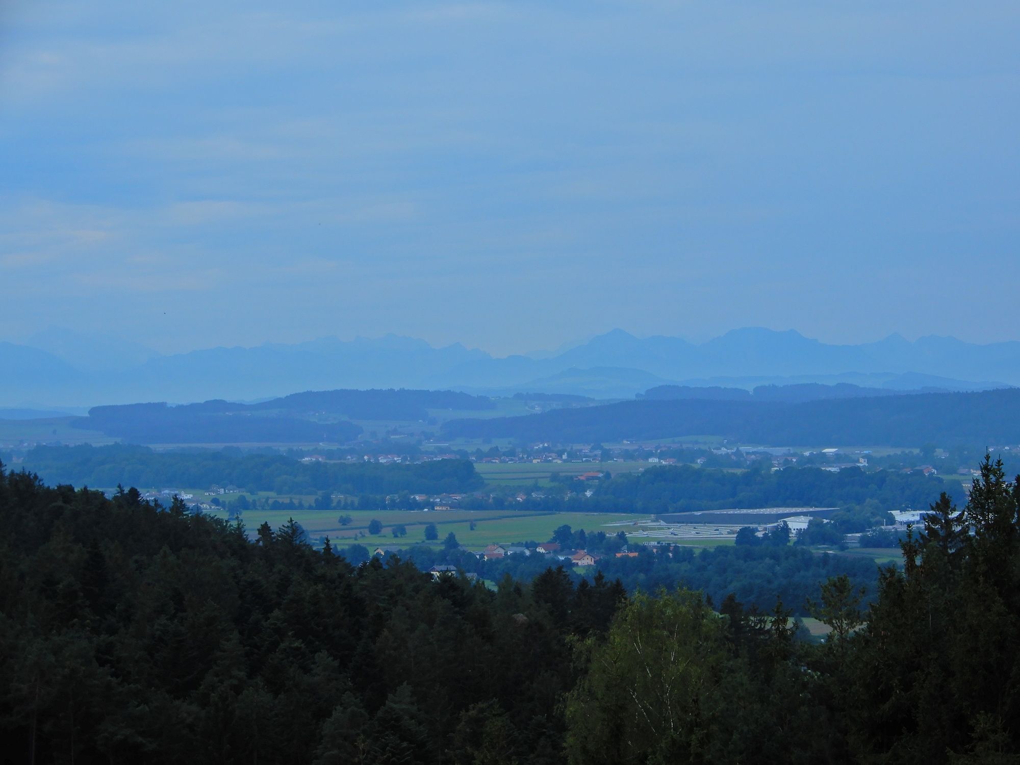
- Point de mire
-
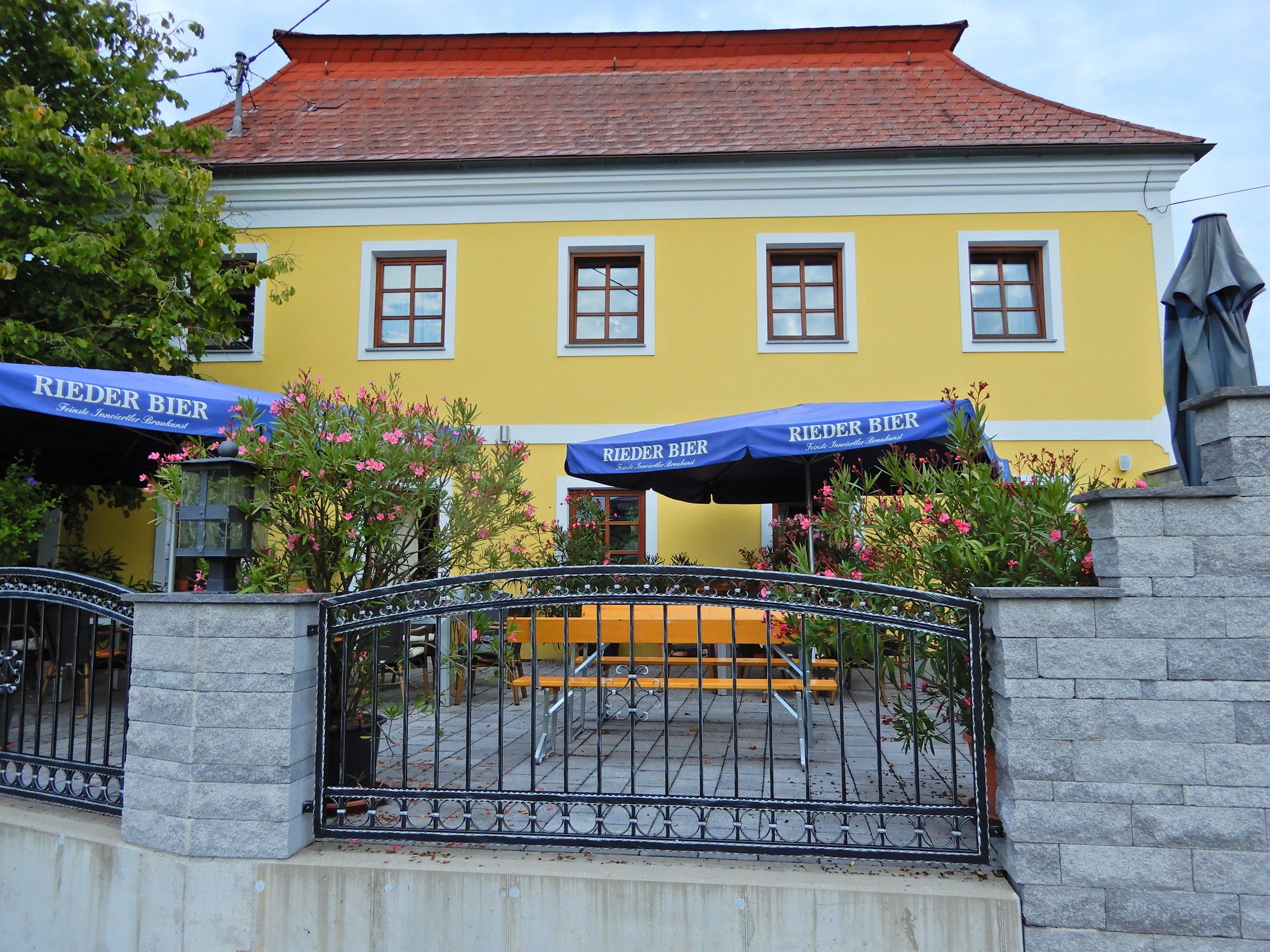
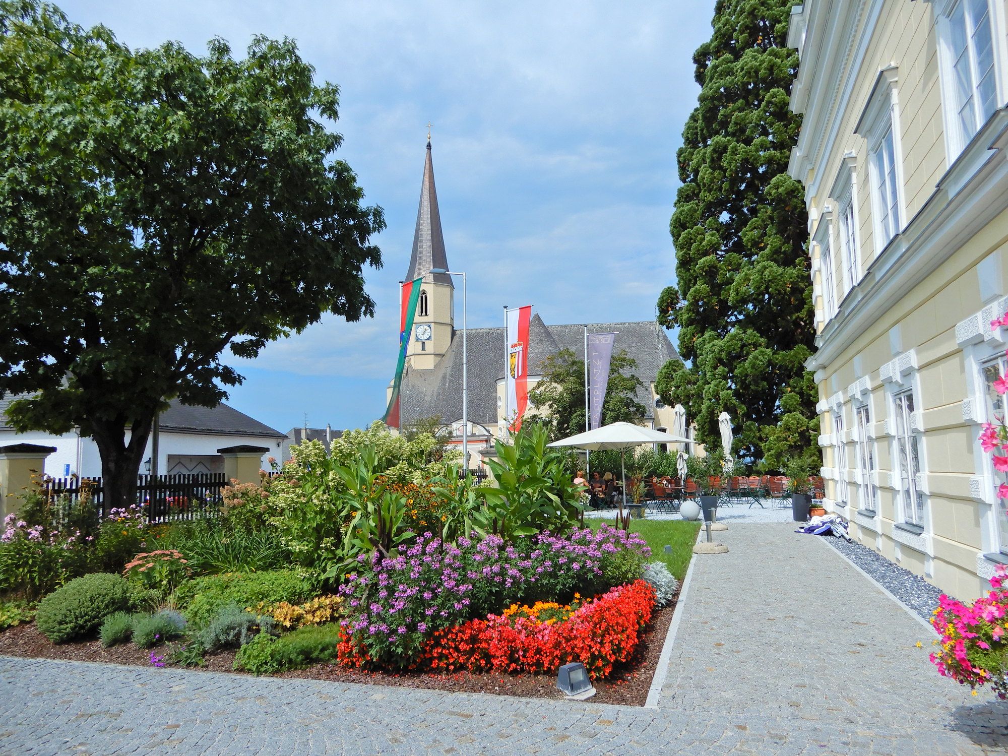
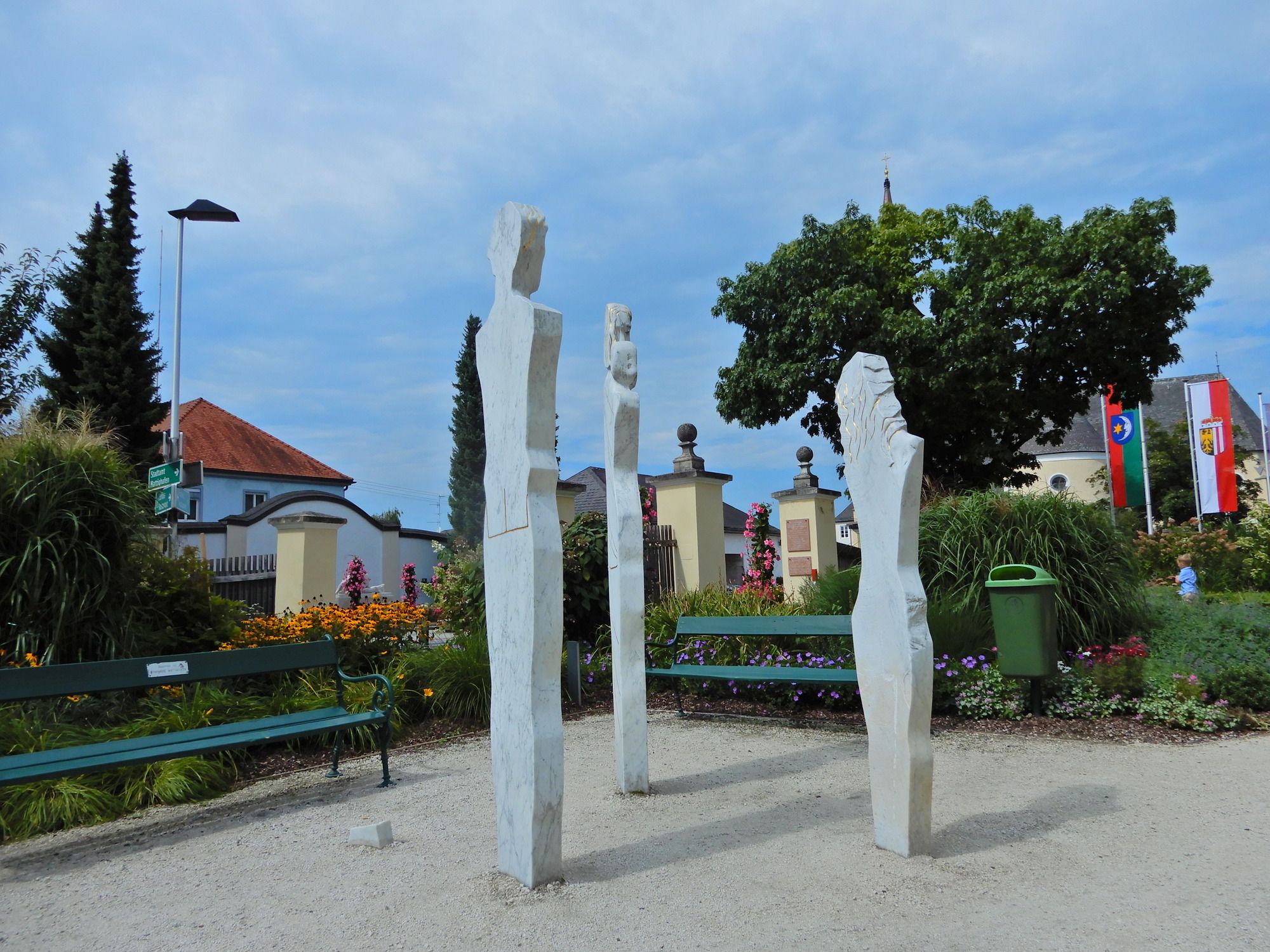
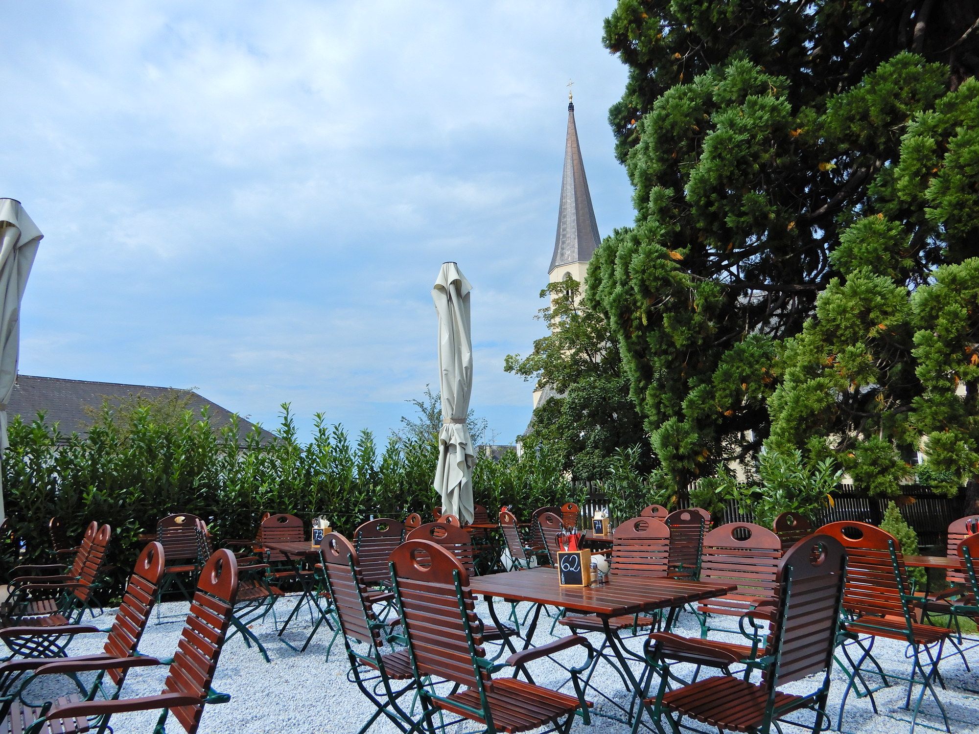
Mattighofen
- Repos/Rassembler
-
Mattighofen, Cafe Restaurant Stadtplatz 1
- Litérature
-
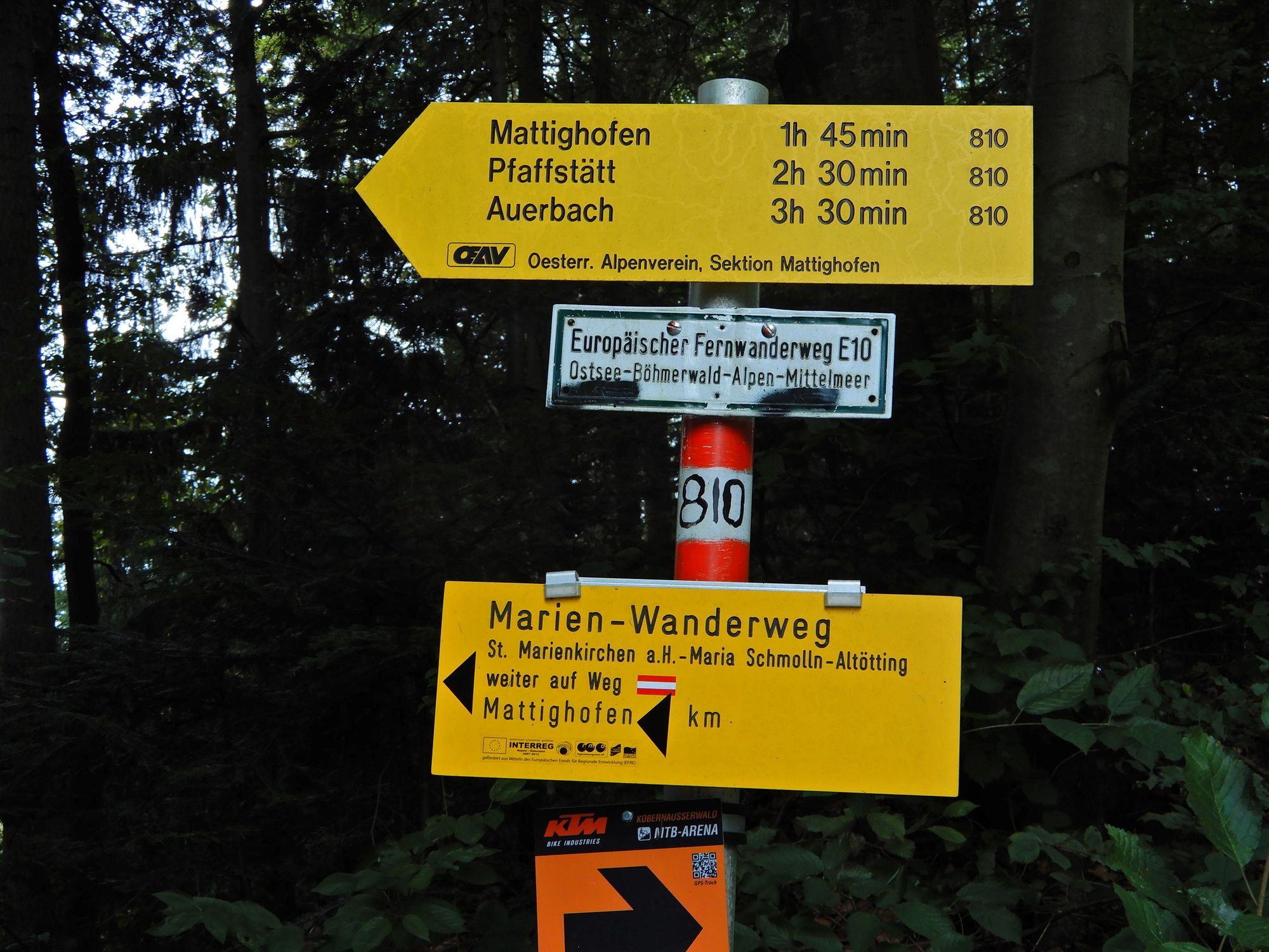
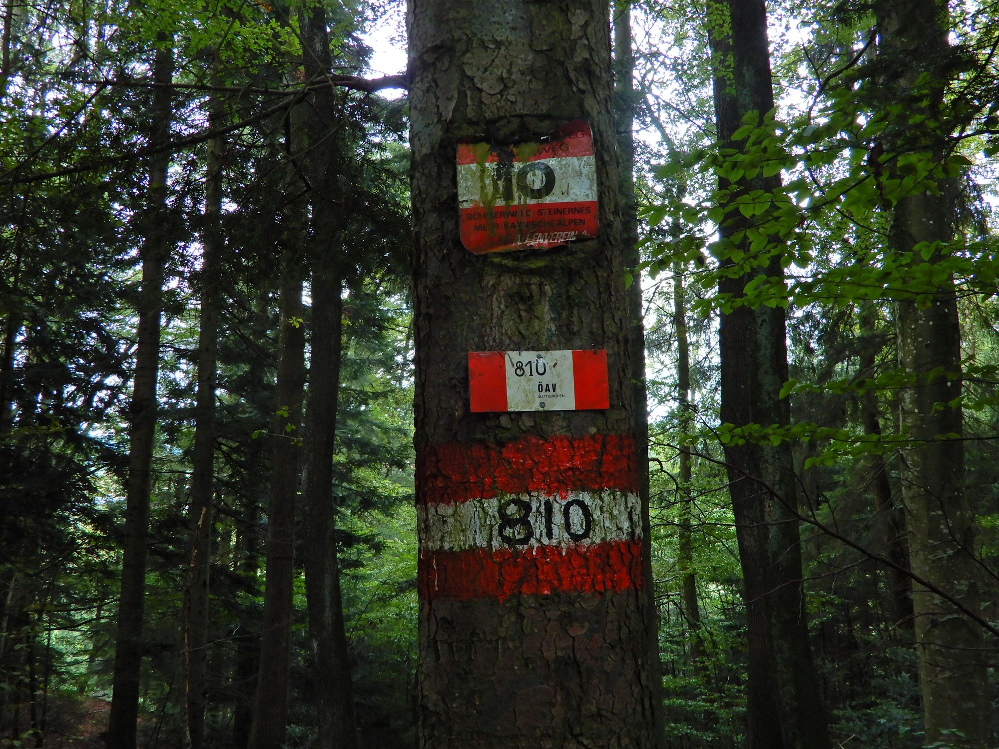
Österreichischer Weitwanderweg 10, Rupertiweg, Vom Böhmerwald zu den Karnischen Alpen, Erika und Fritz Käfer
- Cartes
-
BEV

GPS Downloads


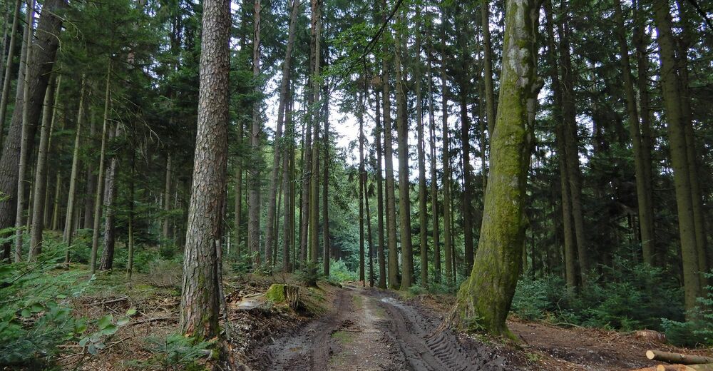
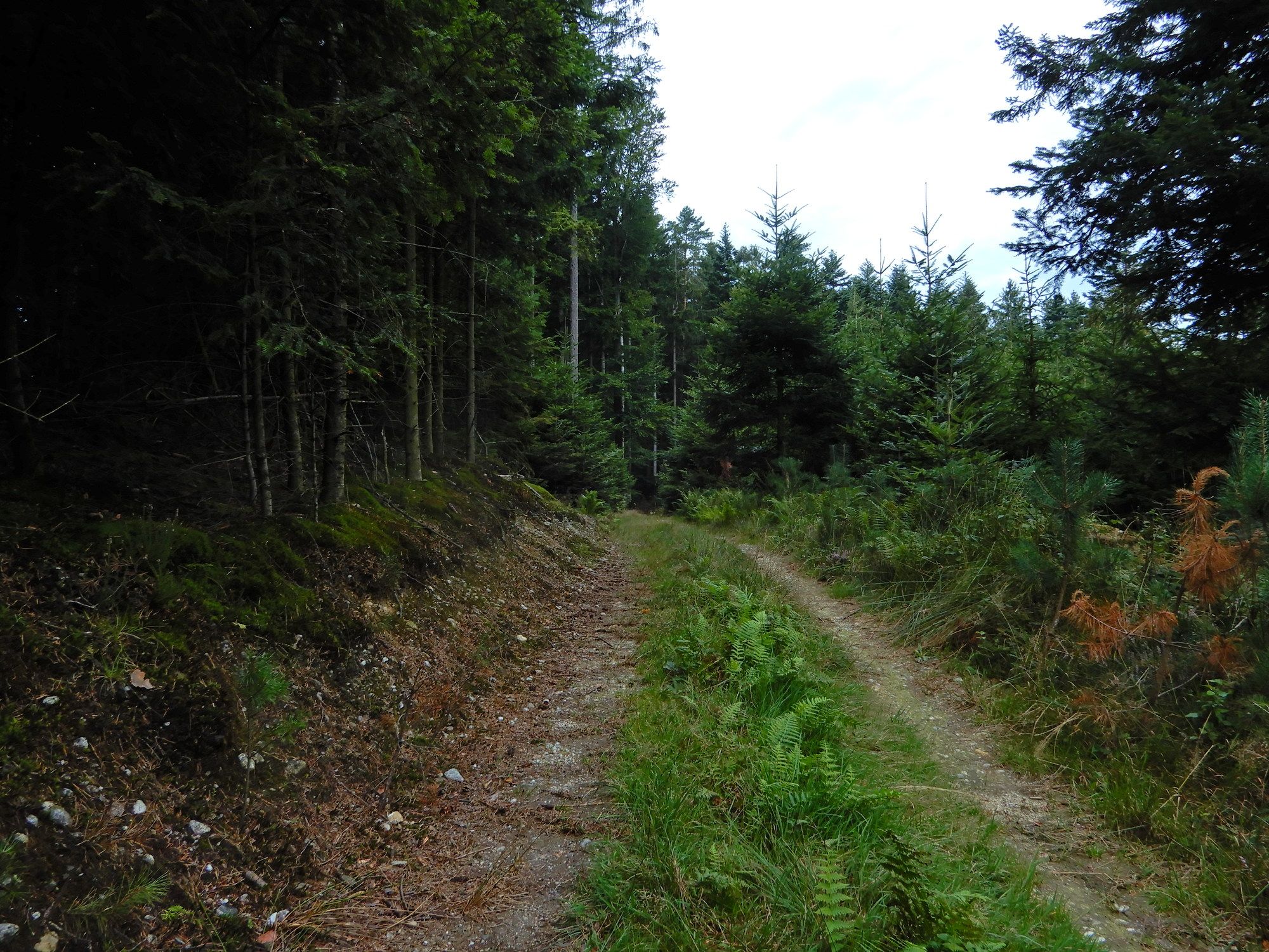
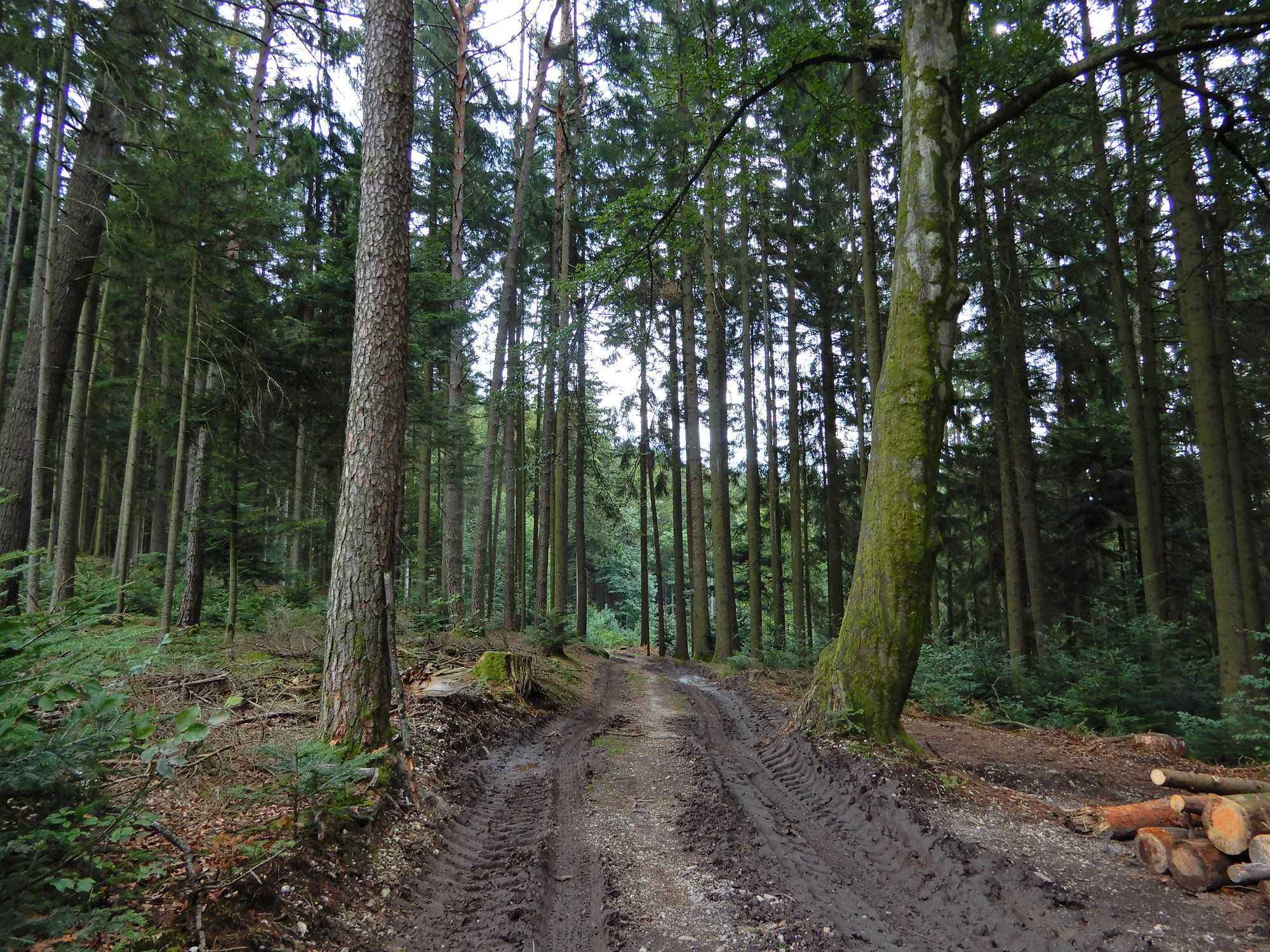
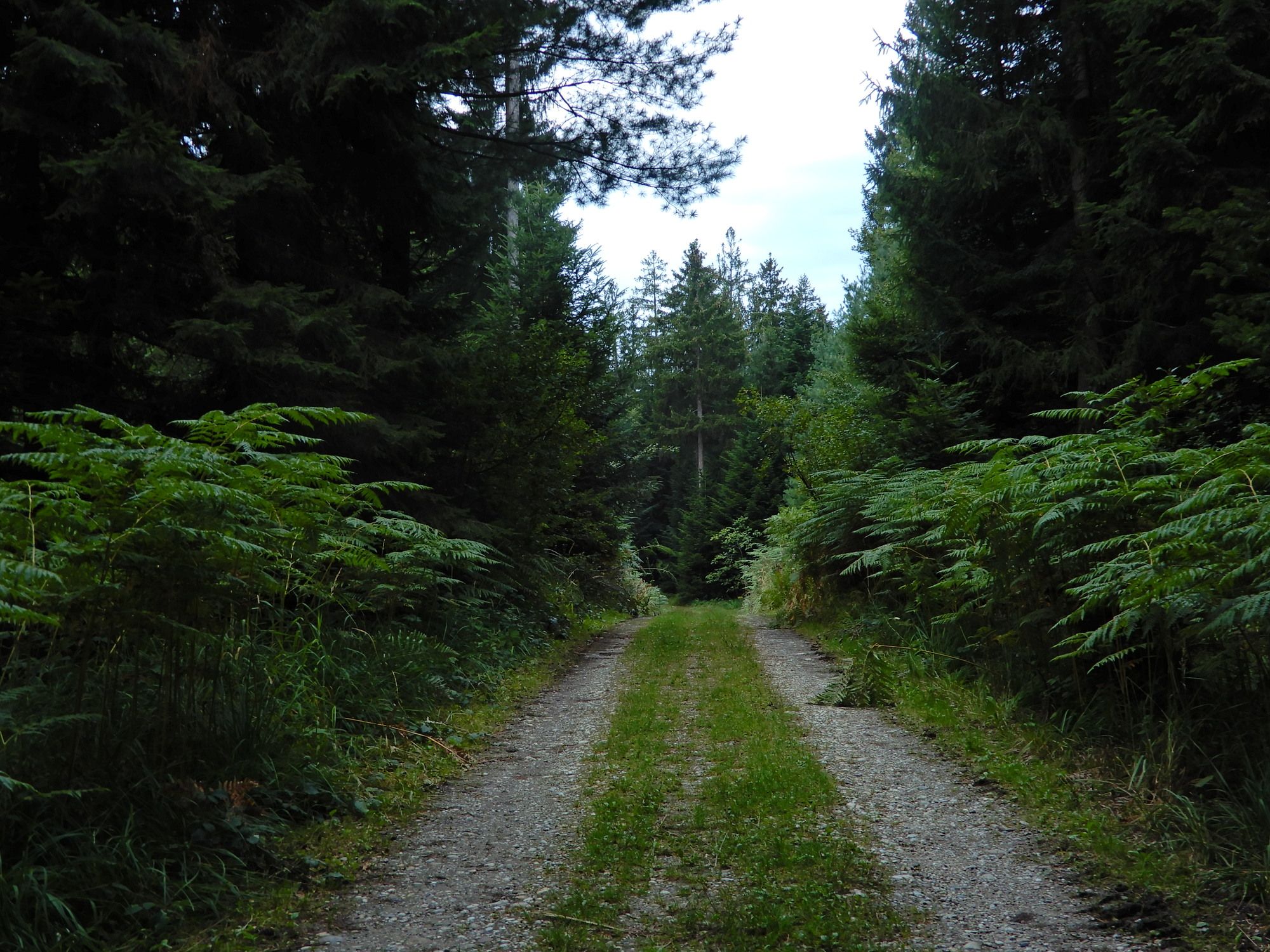
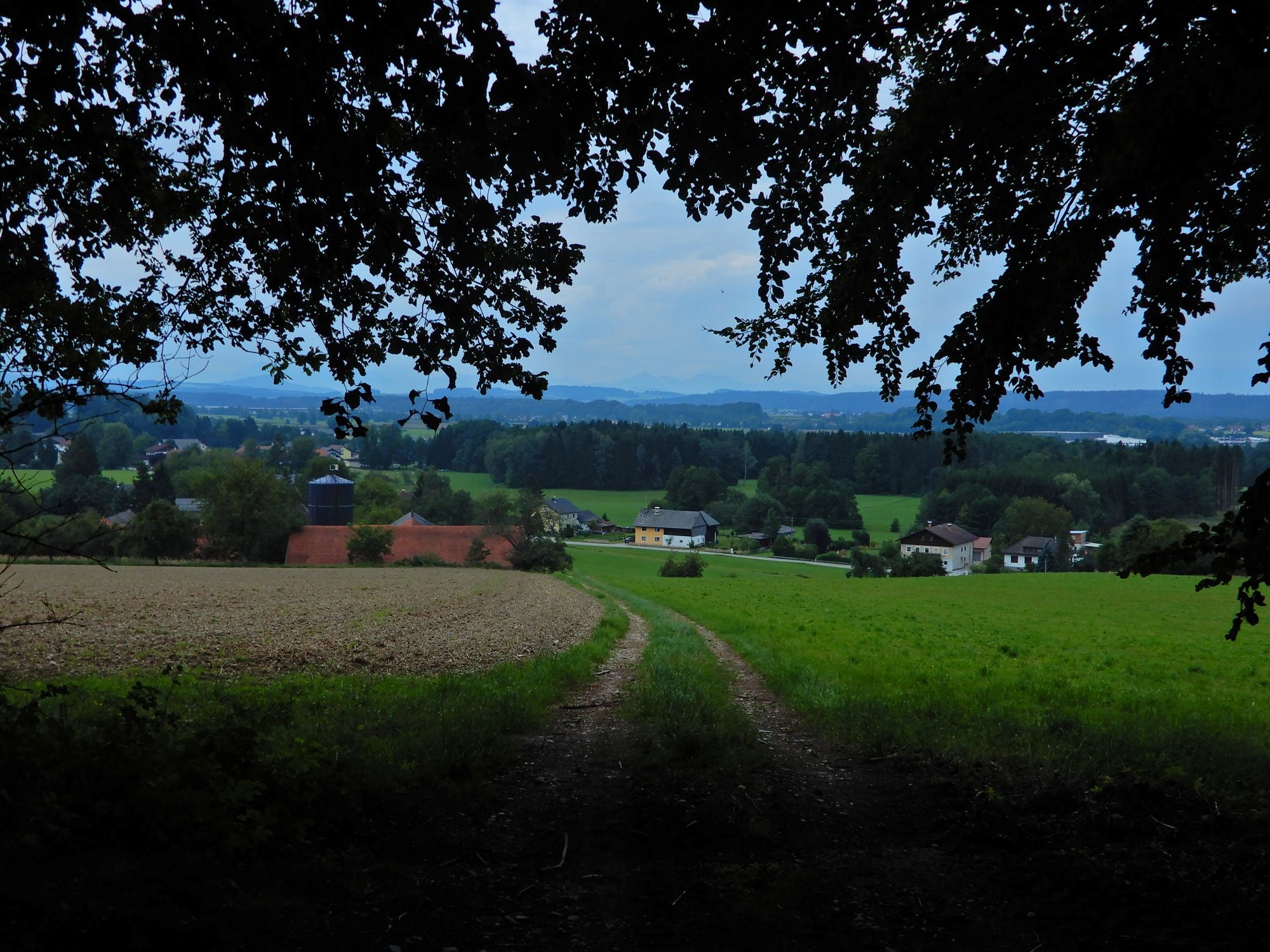
Nature du chemin
Asphalte
Gravier
Pelouse
Forêt
Rocher
Exposé
Autres parcours dans les régions
-
Innviertel
797
-
s'Entdeckerviertel
301
-
Schalchen
59