Bike & Hike: Hochplett-Runde mit Wanderung Hochplettspitz


Dates des itinéraires
29,8km
472
- 1.030m
900hm
900hm
02:30h

- Brève description
-
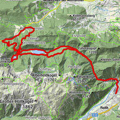
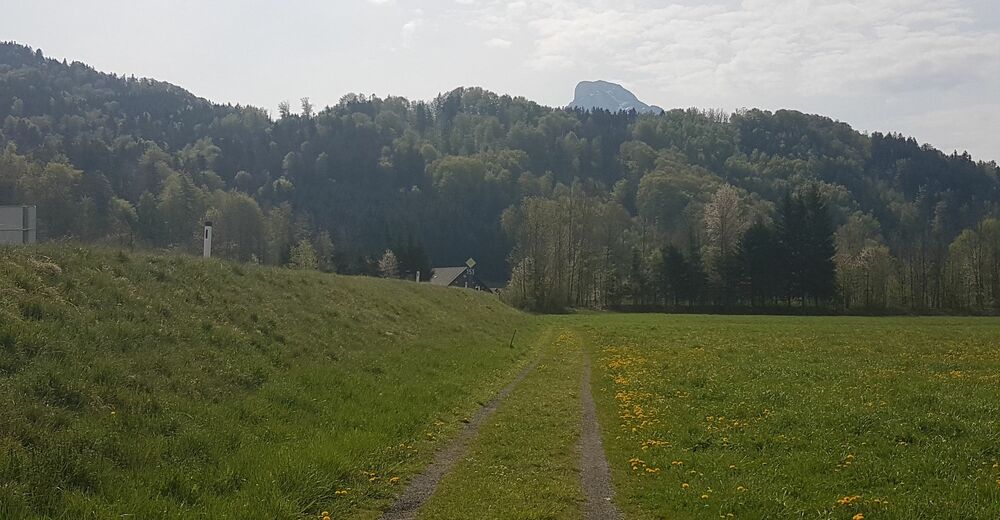
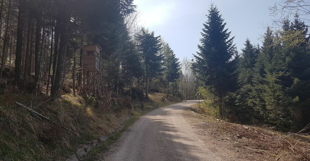
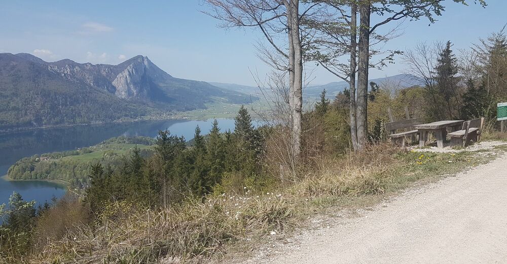
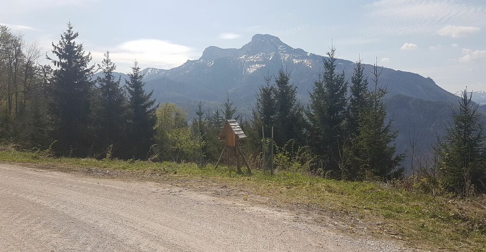
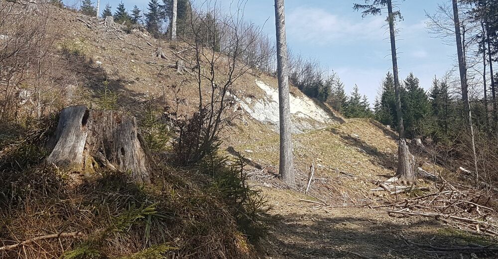
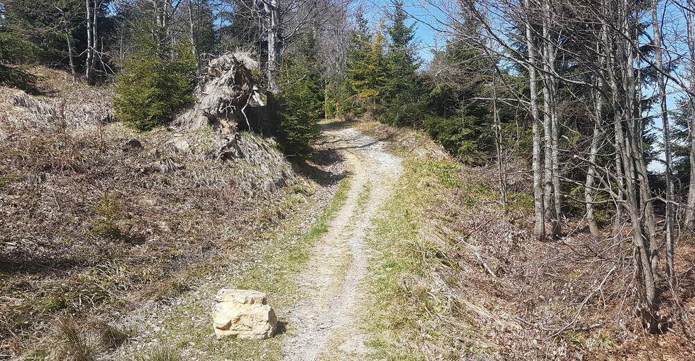
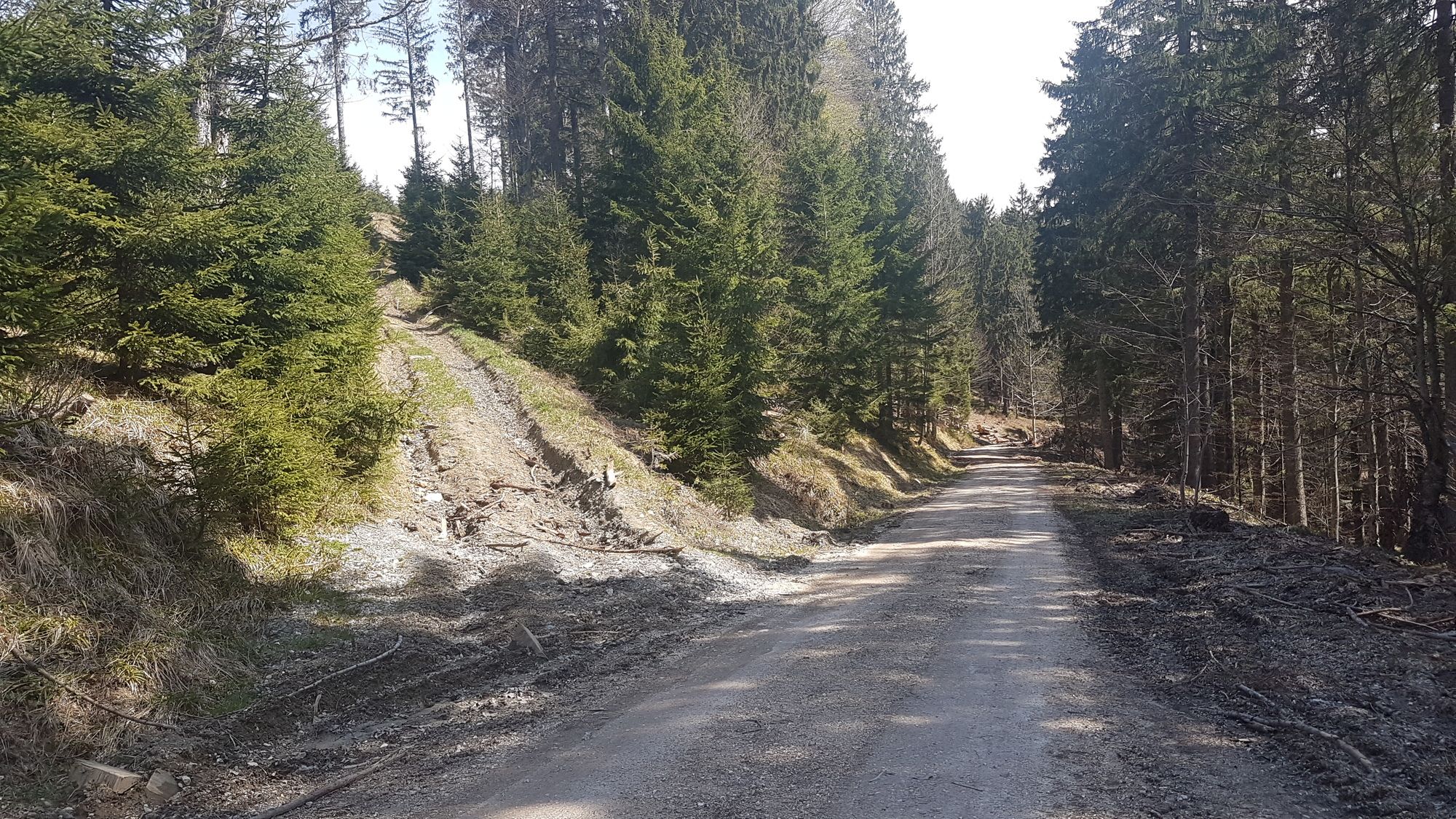
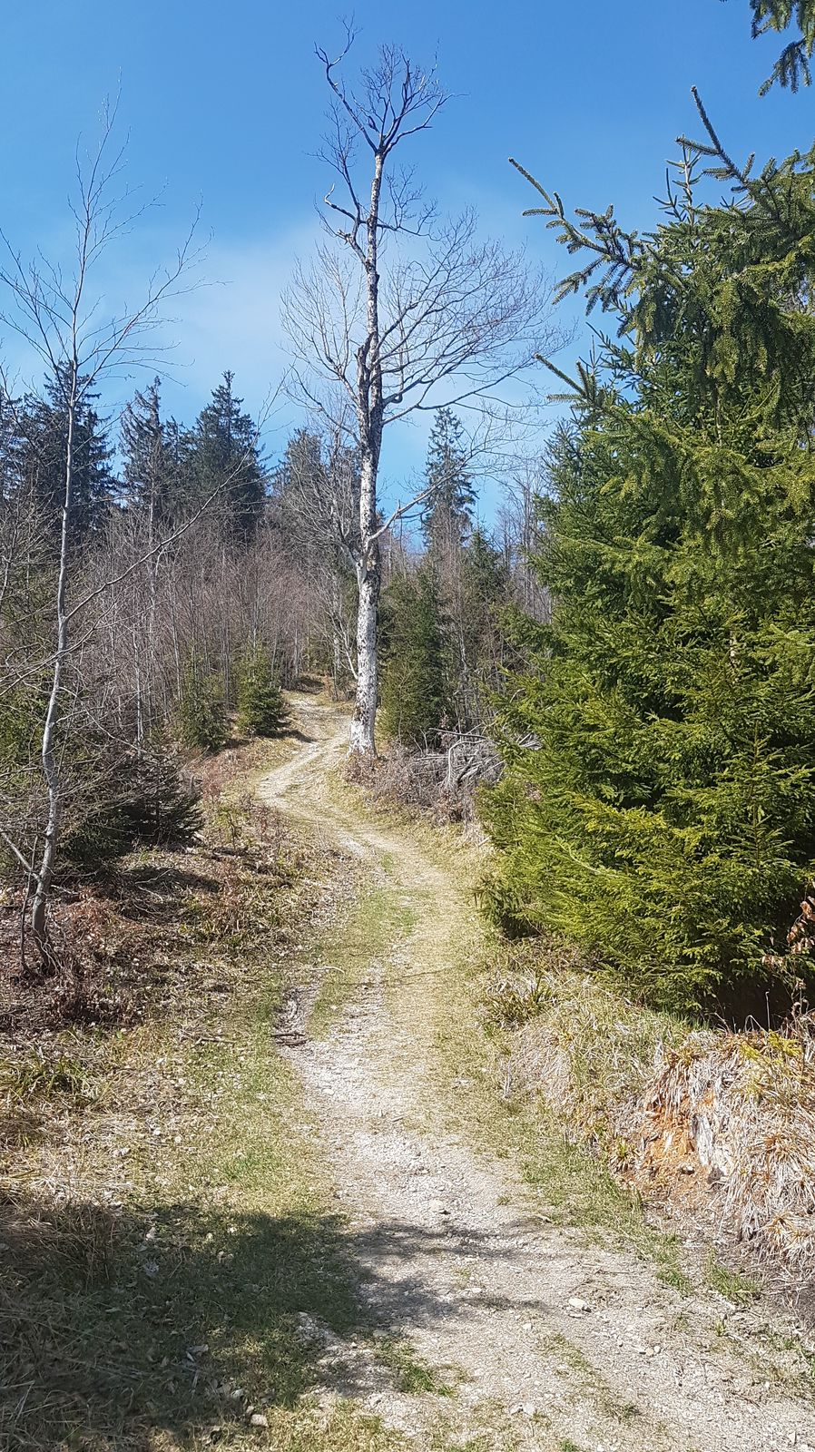
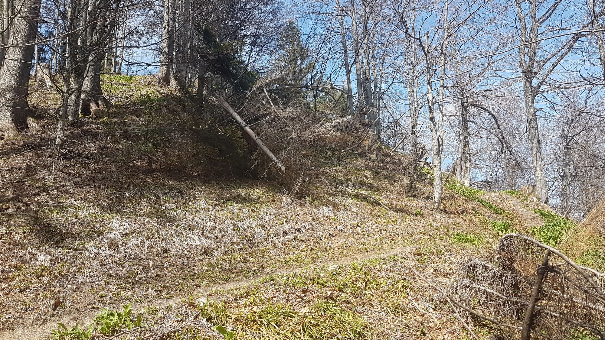
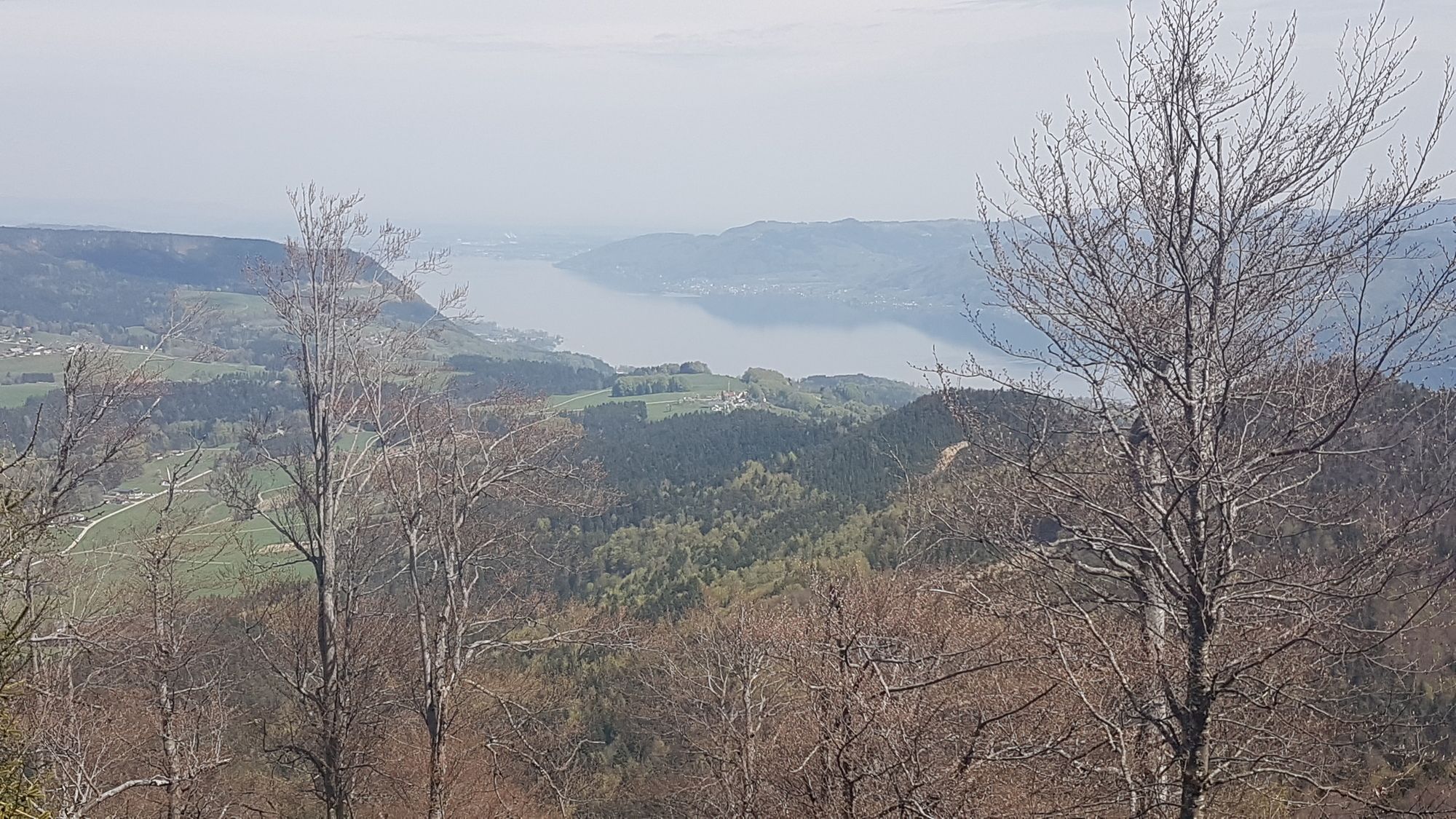
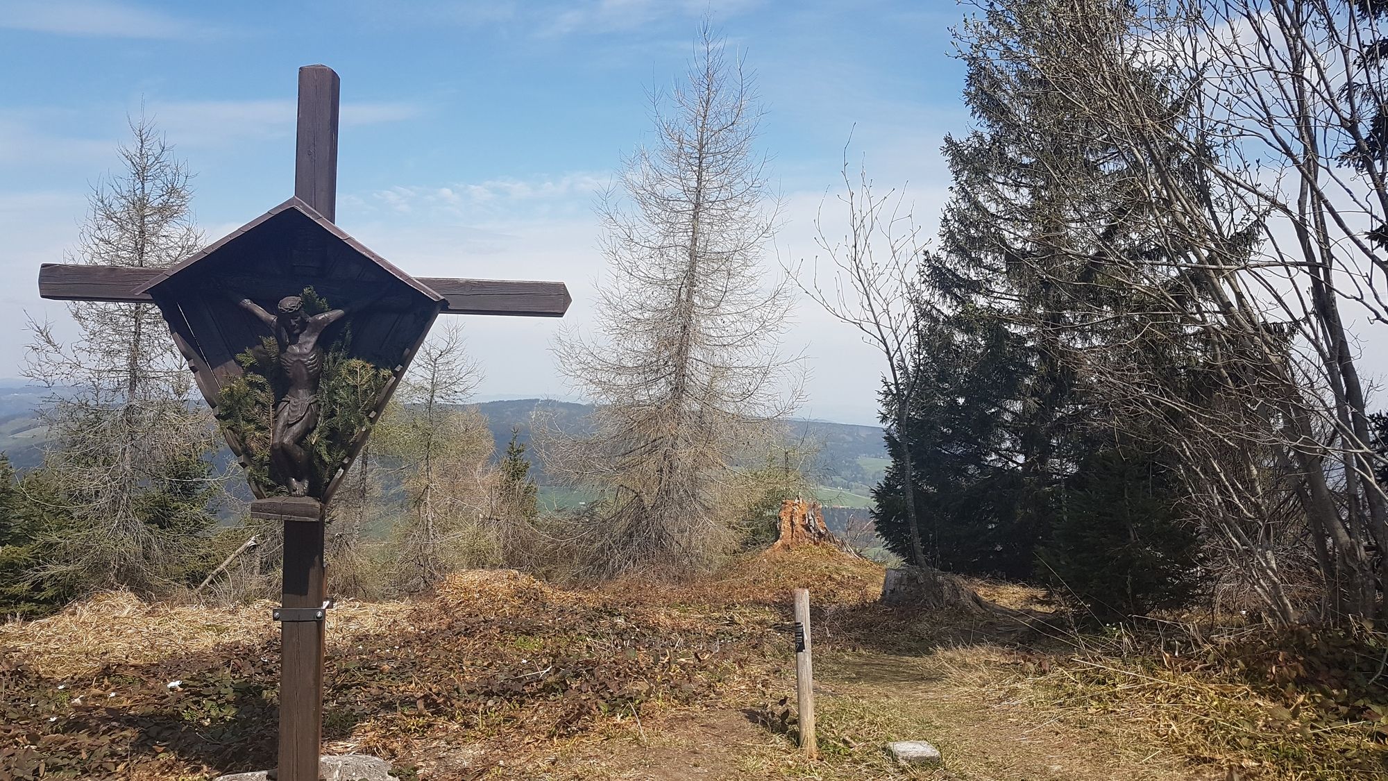
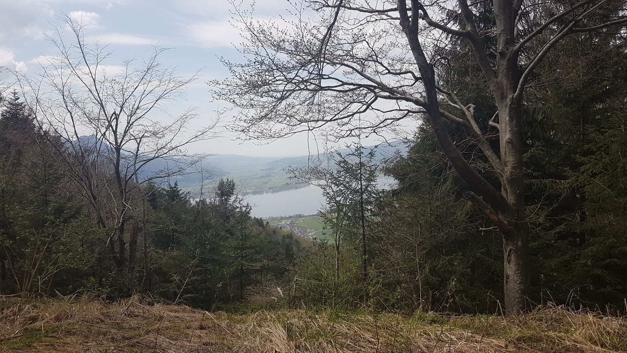
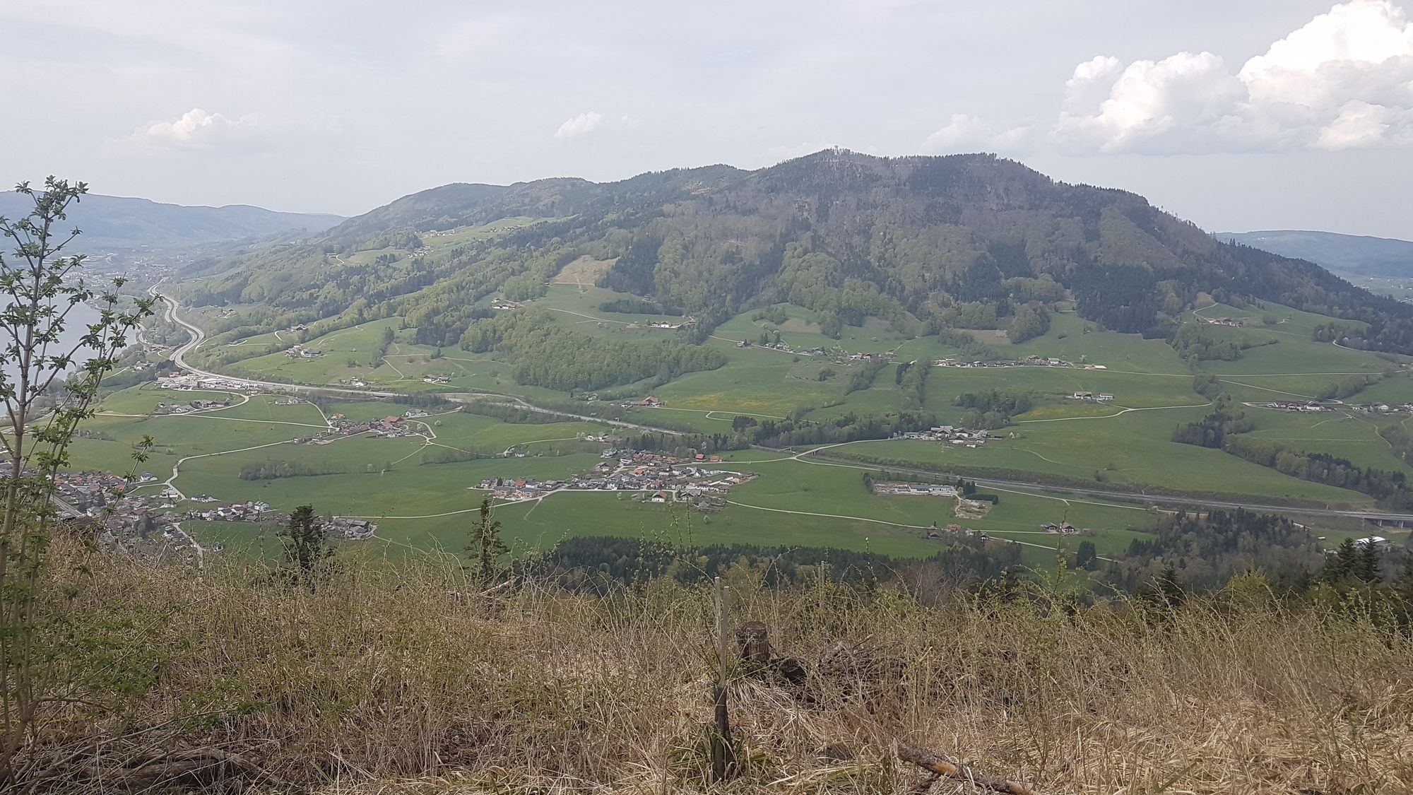
Runde um die Hochplettspitze mit Wanderung auf die Spitze. Schöne Wälder und Aussicht auf Mondsee und Attersee und nettem Wanderweg auf die Spitze.
- Difficulté
-
facile
- Évaluation
-
- Point de départ
-
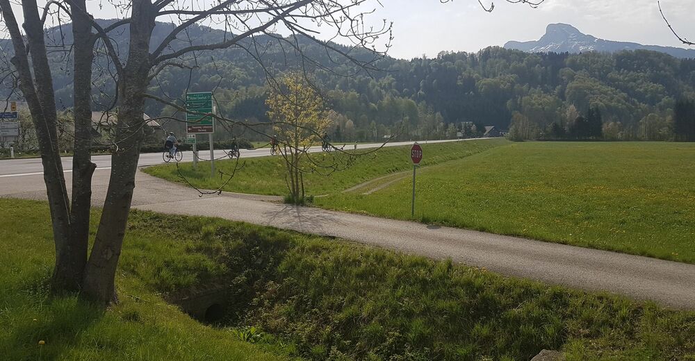
Loibichl
- Parcours
-
Maierhof0,6 kmBergen2,3 kmHochplettspitze (1.134 m)10,8 kmAllinaquelle14,0 kmBergen28,4 kmMaierhof30,1 km
- Meilleure saison
-
janv.févr.marsavrilmaijuinjuil.aoûtsept.oct.nov.déc.
- Hauteur maximale
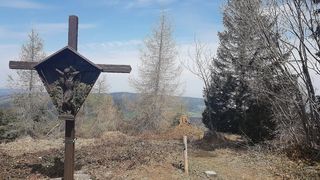
- Hochplett (1.030 m)
- Point de mire
-
Hochplettspitz
- Videos
-
 14:31
14:31


GPS Downloads


Circuits
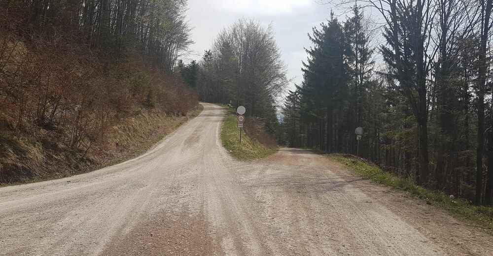
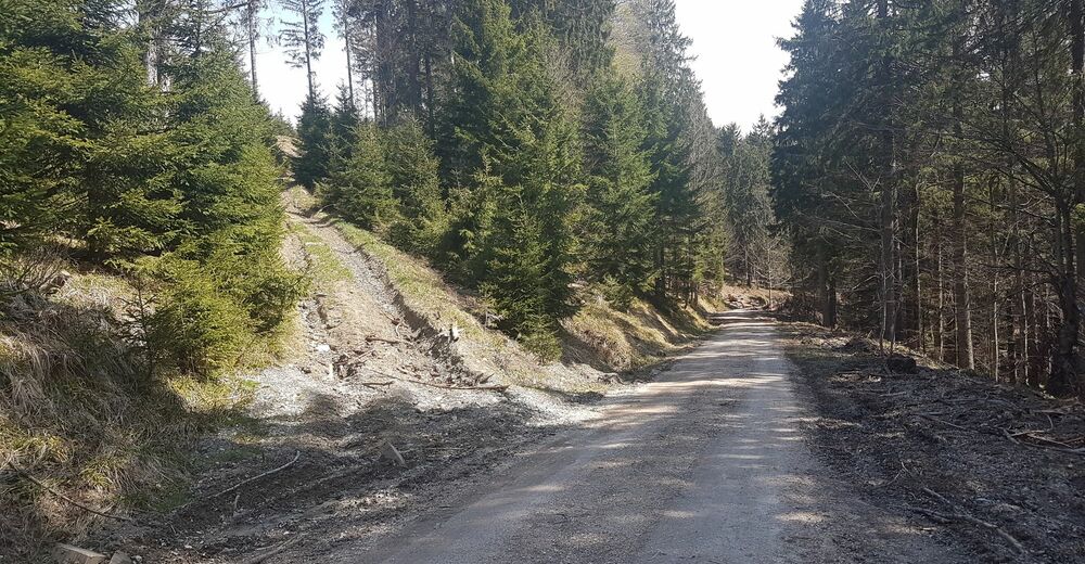
Asphalte
Gravier
Forêt
Sentiers de montagne
Sentiers singletrail
Trial
Circulation
Autres parcours dans les régions