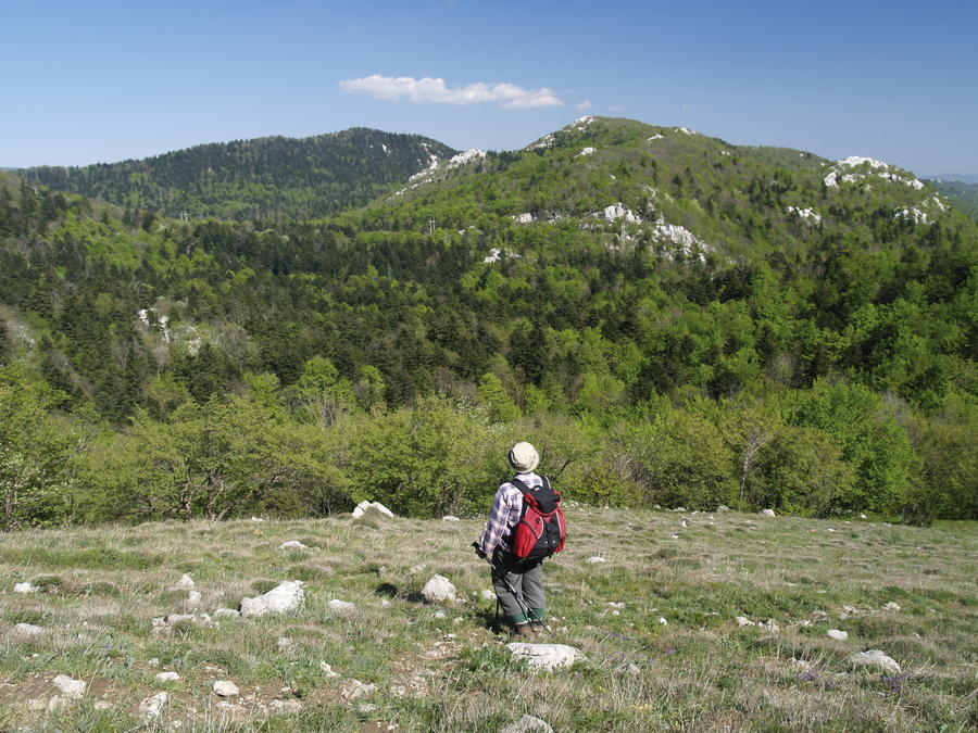
© Terra Dinarica - Alan Čaplar

© Terra Dinarica - Alan Čaplar
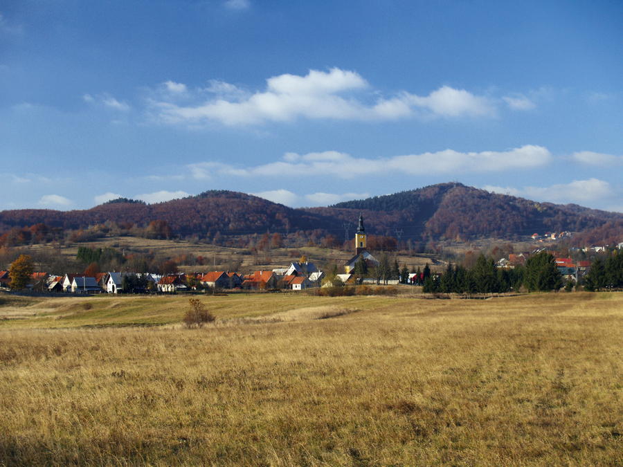
© Terra Dinarica - Stanislav Horaček
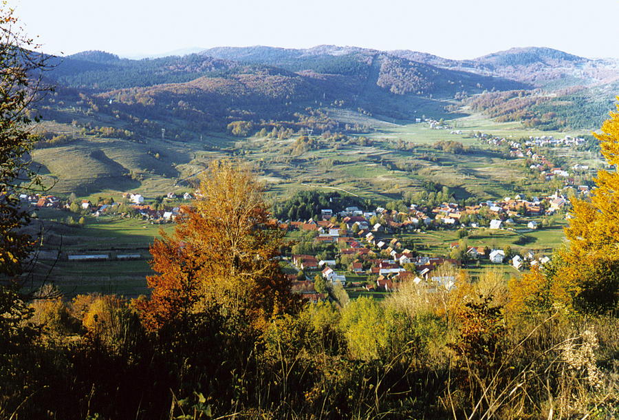
© Terra Dinarica - Alan Čaplar
© Terra Dinarica - Alan Čaplar
© Terra Dinarica - Alan Čaplar
© Terra Dinarica - Alan Čaplar
© Terra Dinarica - Stanislav Horaček
© Terra Dinarica - Alan Čaplar
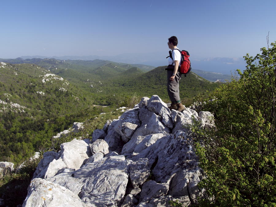
© Terra Dinarica - Alan Čaplar

- Brève description
-
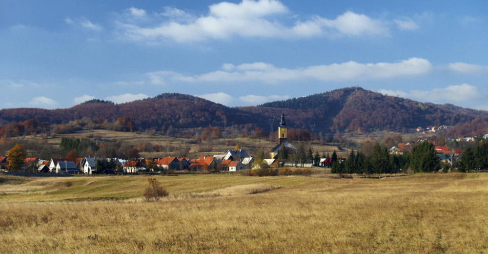
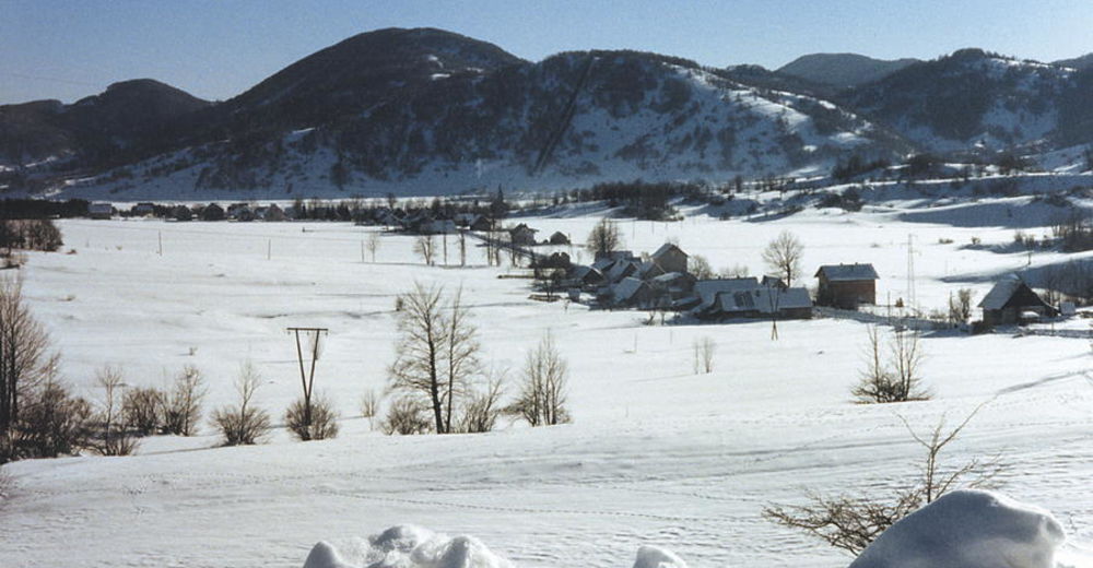
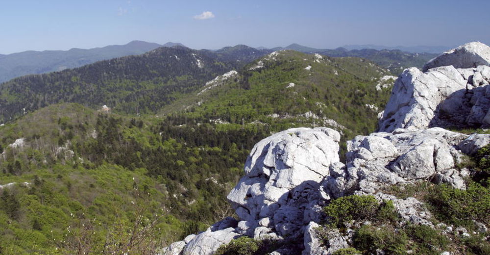
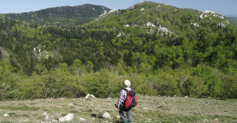
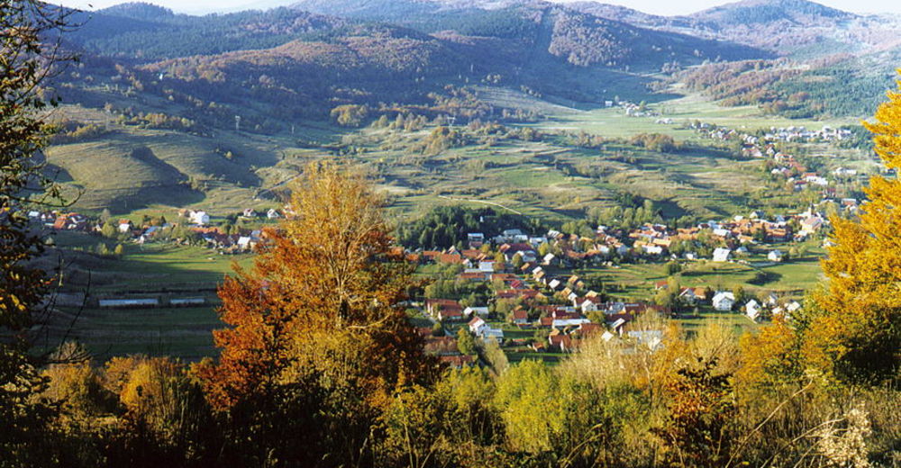
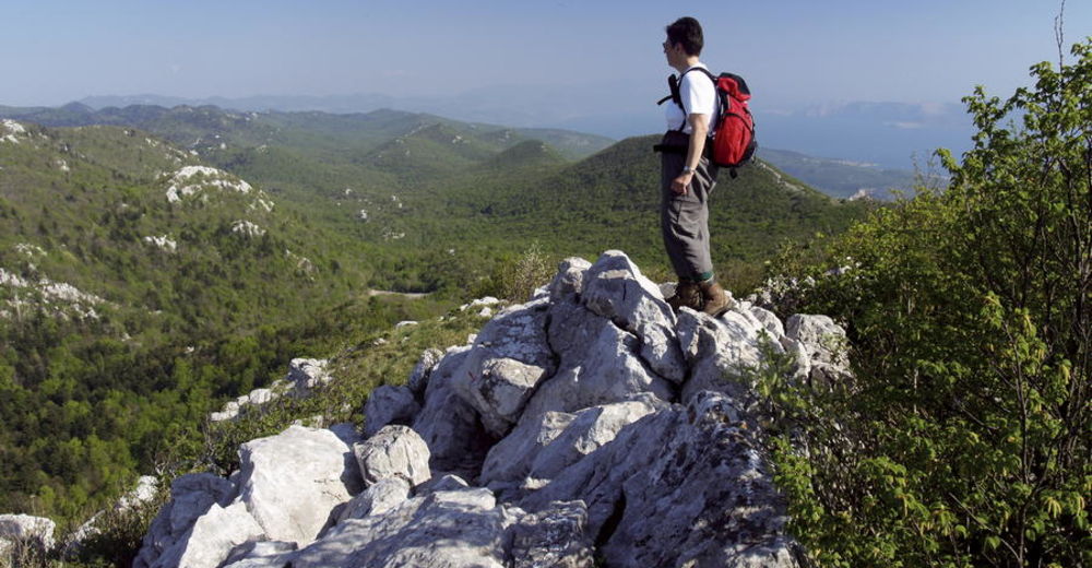
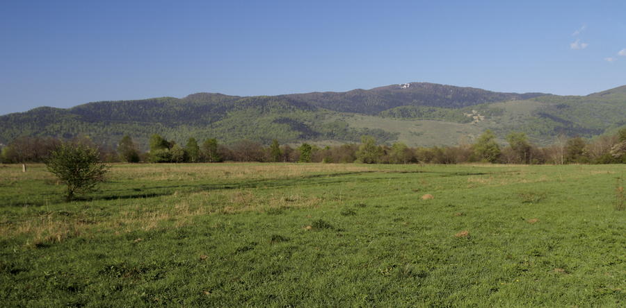
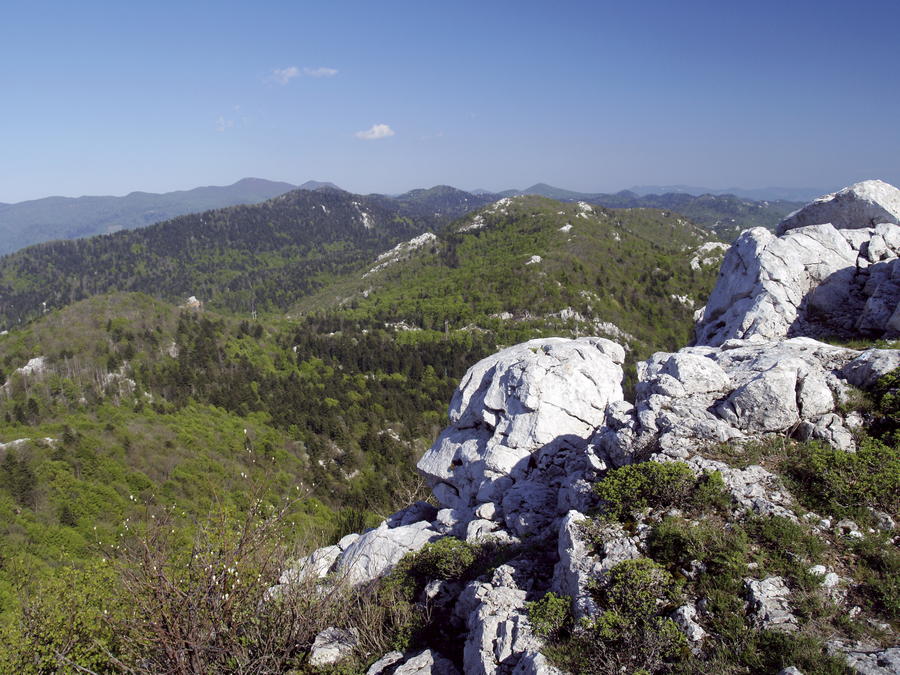
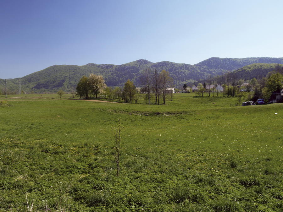
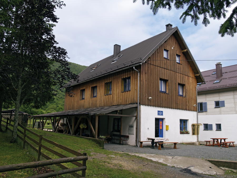
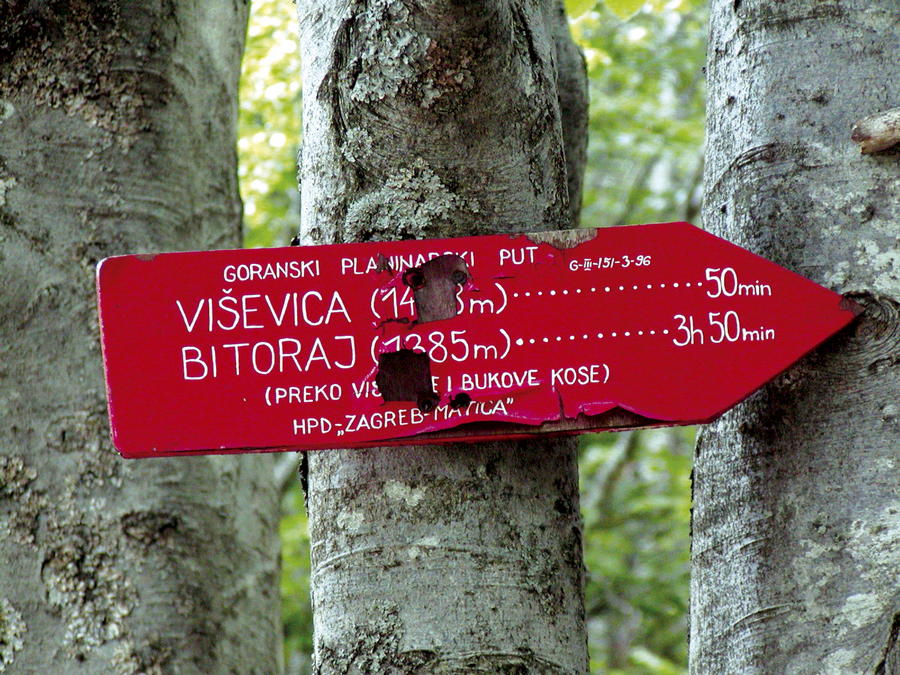
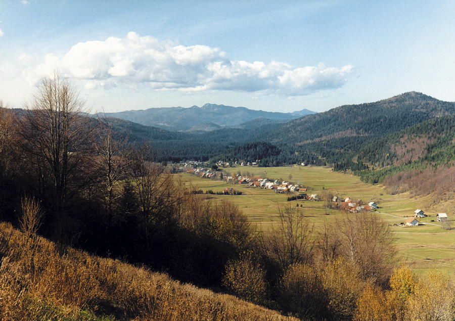
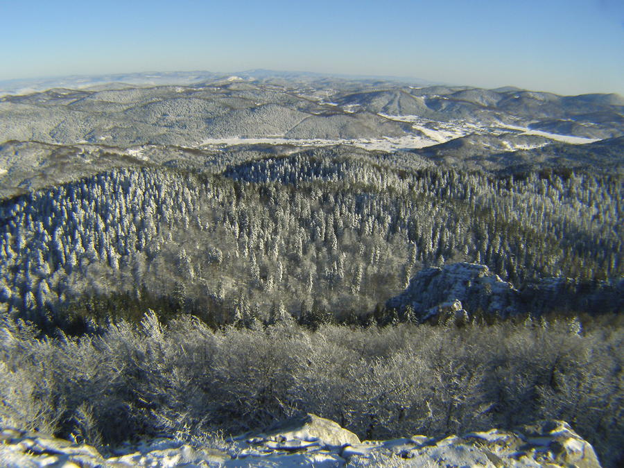
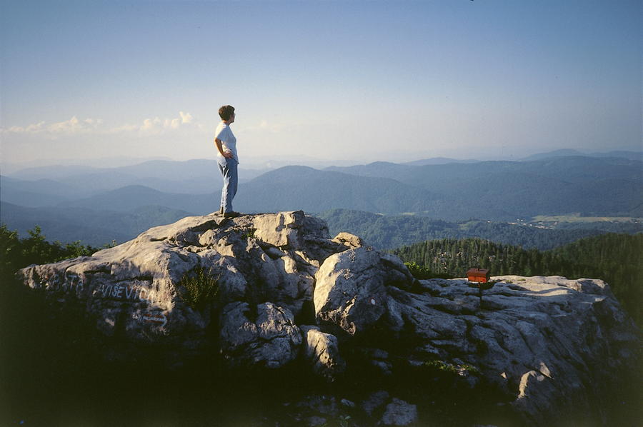
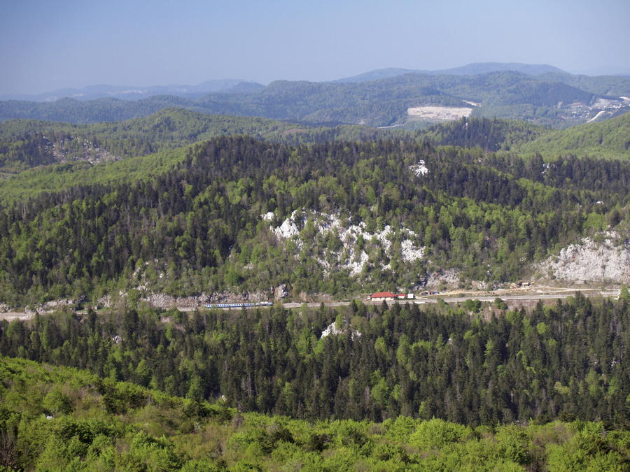
The area between Fužine and Mrkopalj is mountainous terrain covered in forest and dominated by the mountains of Viševica and Bitoraj. These mountains are in fact one mountain unit that is only partly separated by a forested valley at high elevation. Like all other ridges of Kapela and Gorski kotar, the consecutive ridges of Bitoraj and Viševica spread in the same northwest to southeast direction as the Dinarides, in the form of an elongated range with two slopes.
- Difficulté
-
moyen
- Évaluation
-
- Parcours
-
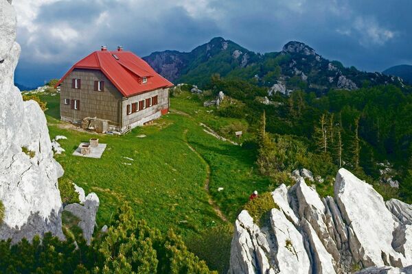
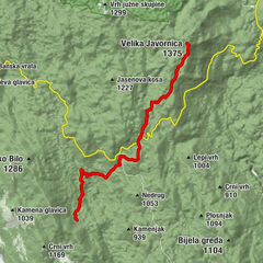
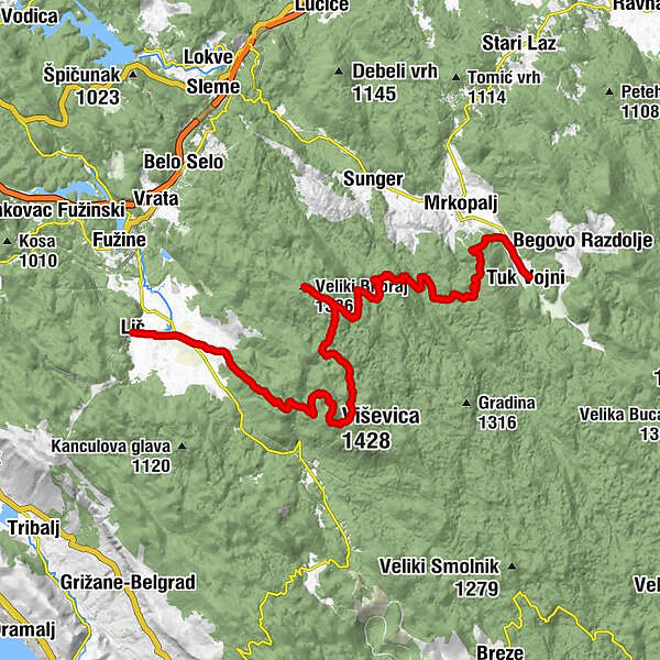
Lìccinokapela Majke Božje Snježne2,7 kmViševica (1.428 m)9,5 kmVeliki Bitoraj (1.386 m)16,4 kmČelimbaša (1.084 m)28,3 kmTuk Mrkopaljski30,0 kmTuk Vojni30,9 kmDom Bijele Stijene31,0 km
- Meilleure saison
-
janv.févr.marsavrilmaijuinjuil.aoûtsept.oct.nov.déc.
- Hauteur maximale
- 1.406 m
- Point de mire
-
Tuk
- Profil en hauteur
-
 © outdooractive.com


-

-
AuteurLa randonnée Via Dinarica HR-W-05 Fužine - Mrkopalj est utilisé par outdooractive.com fourni par.
GPS Downloads


Autres parcours dans les régions
-
Crikvenica
35
-
Mrkopalj
7