© StädteRegion Aachen - Dominik Ketz

© StädteRegion Aachen - Dominik Ketz

© Eifel Tourismus GmbH - Dominik Ketz

© Eifel Tourismus GmbH - Dominik Ketz

© Eifel Tourismus GmbH - Dominik Ketz

© StädteRegion Aachen - Michael Lock

© StädteRegion Aachen - Dominik Ketz

© Eifel Tourismus GmbH - Dominik Ketz

© Eifel Tourismus GmbH - Dominik Ketz

© StädteRegion Aachen - Dominik Ketz

- Brève description
-
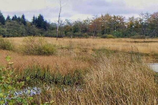
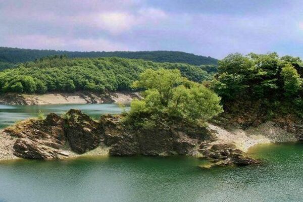
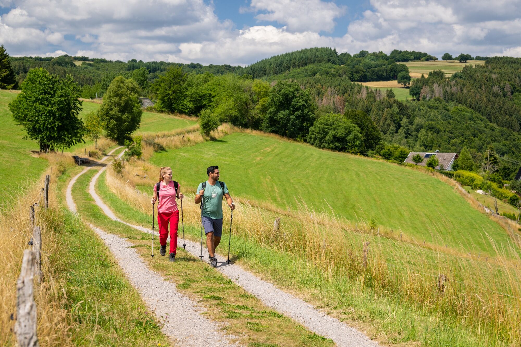
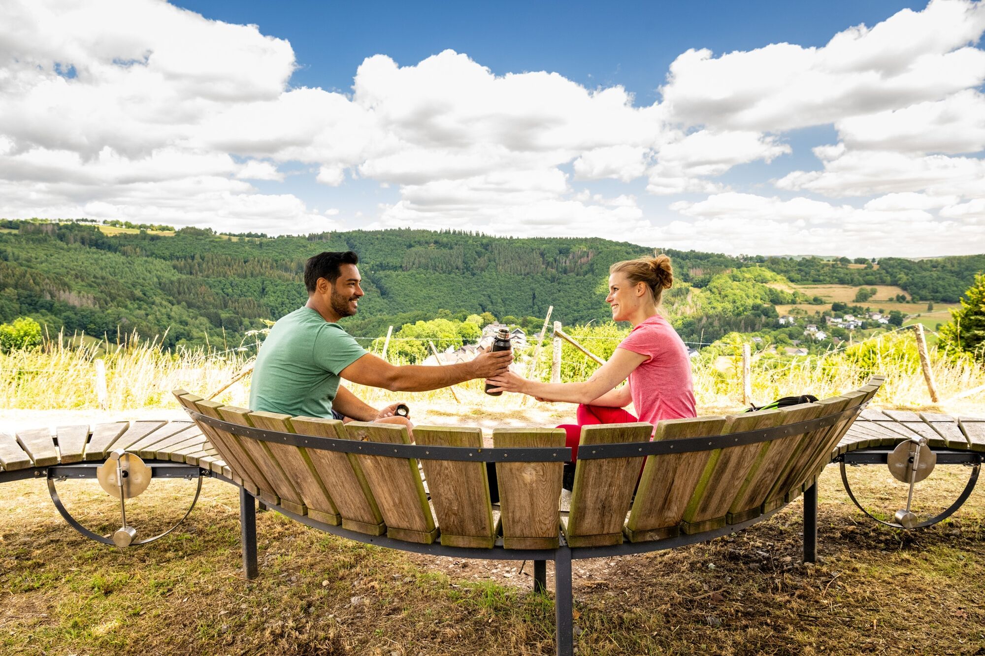
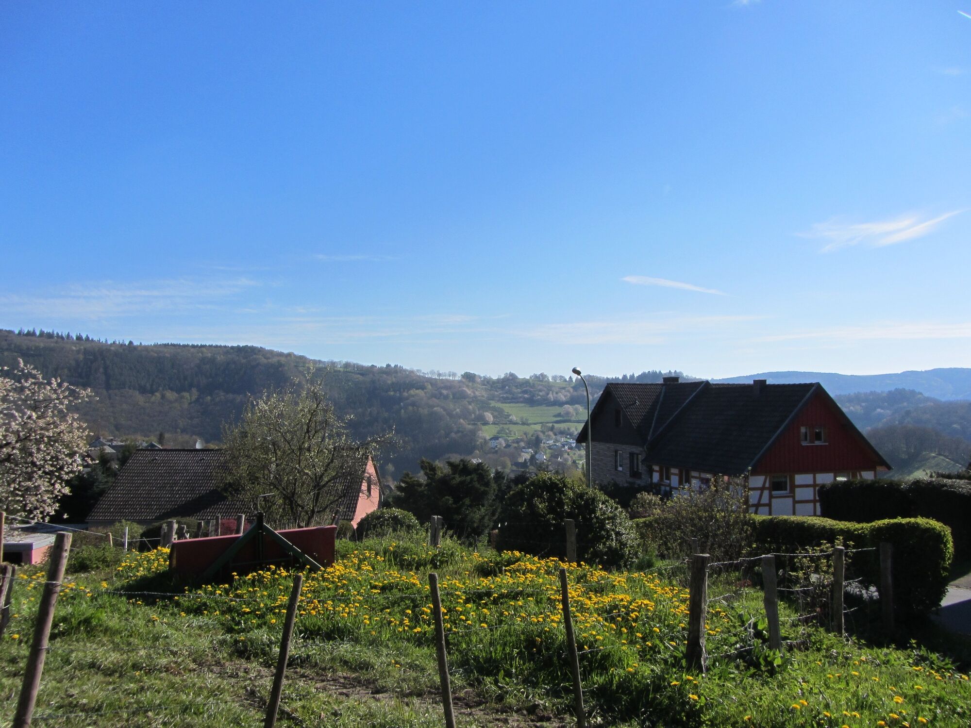
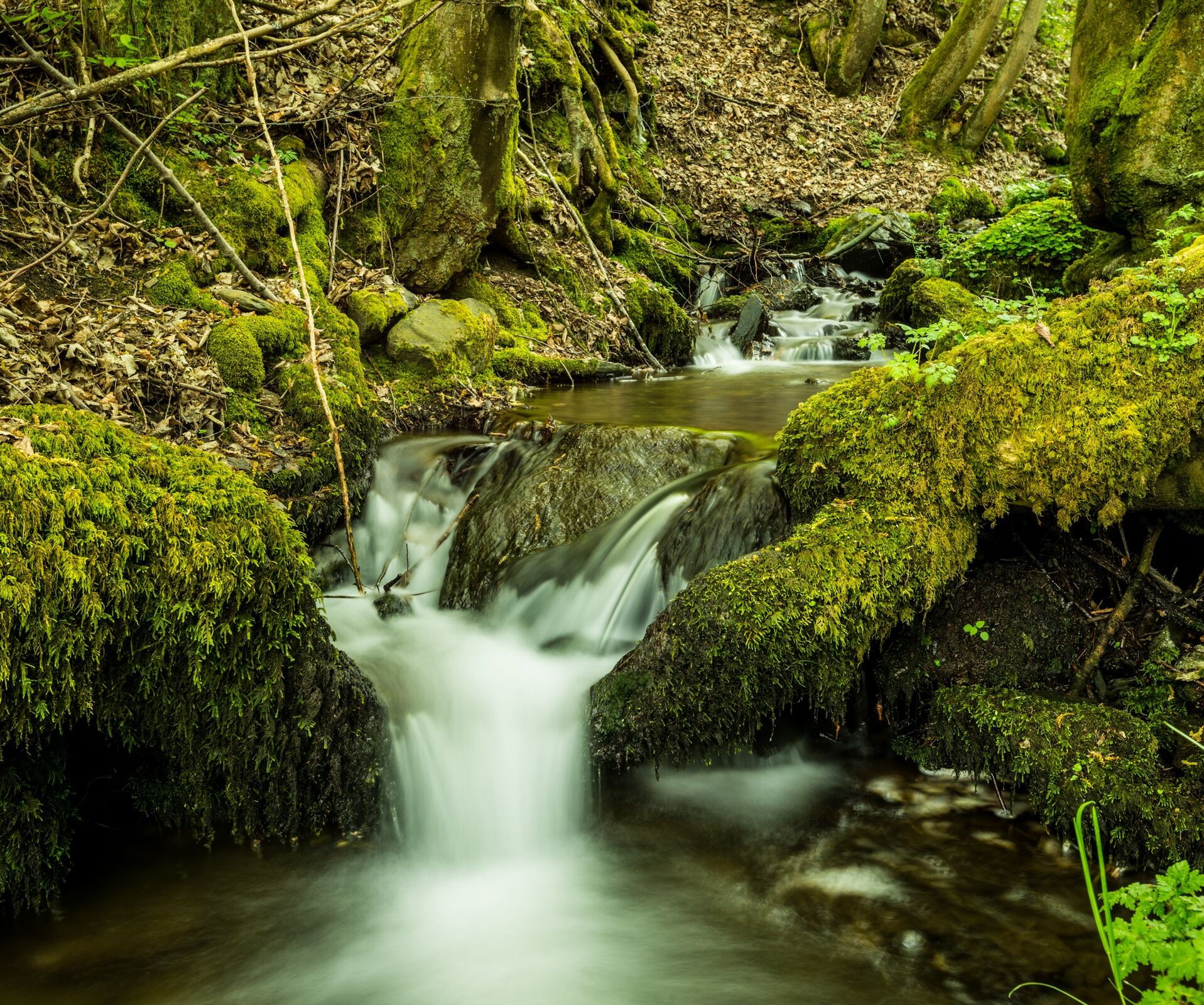
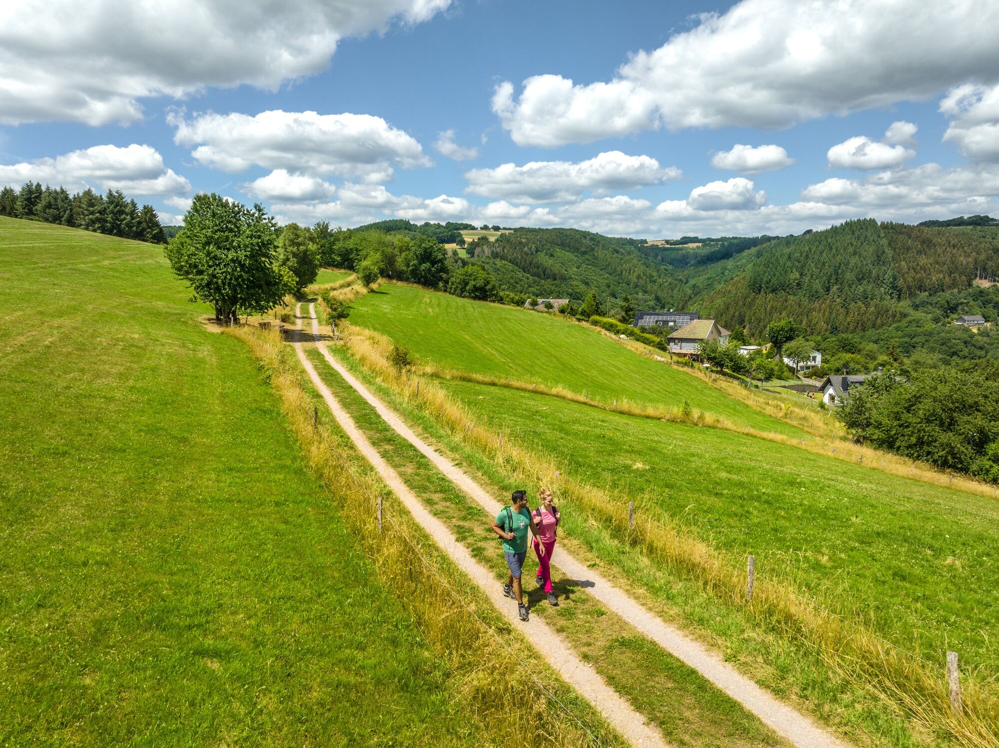
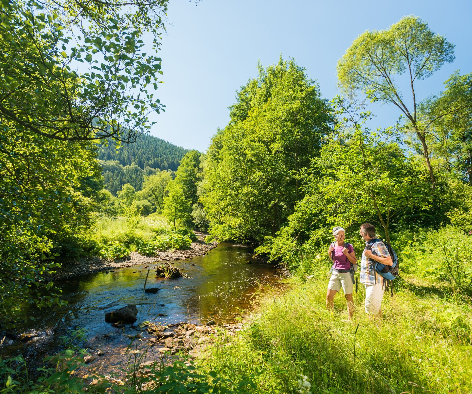
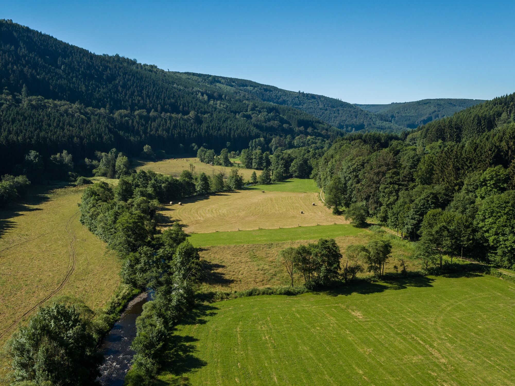
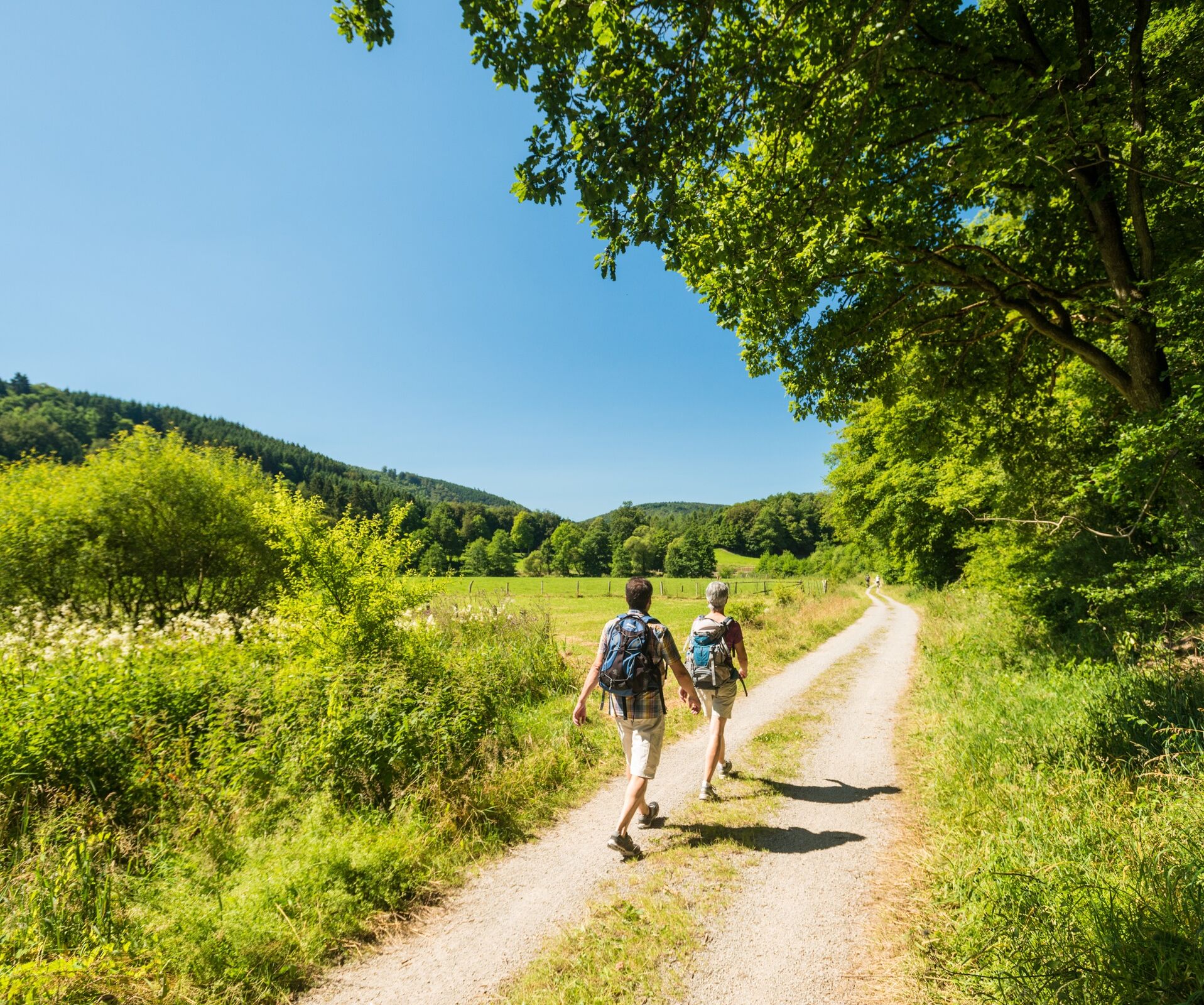
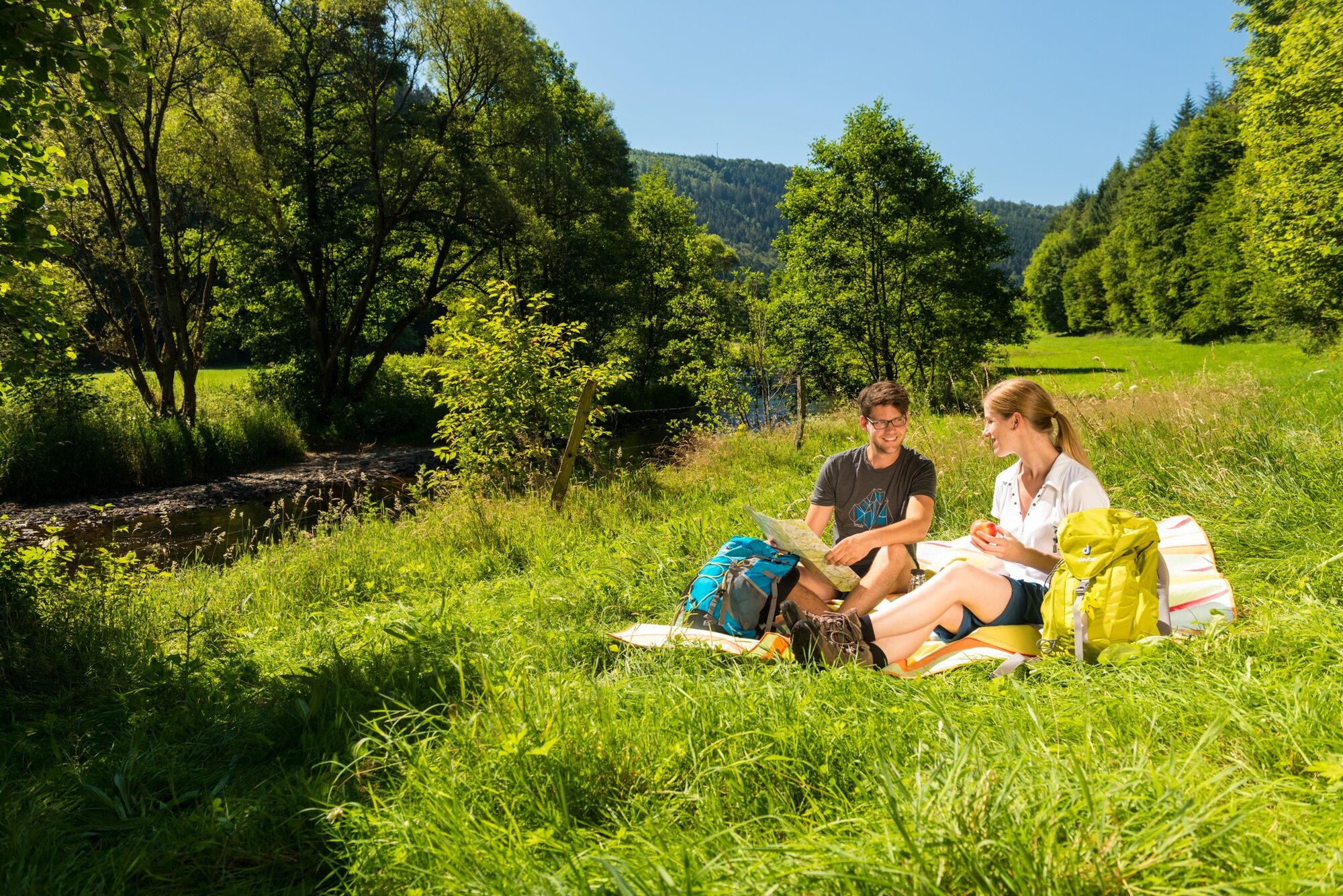
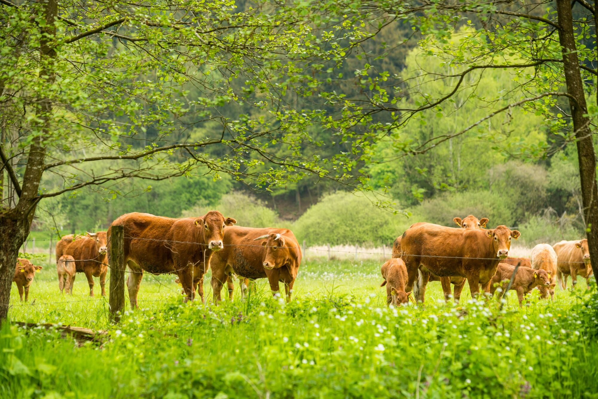
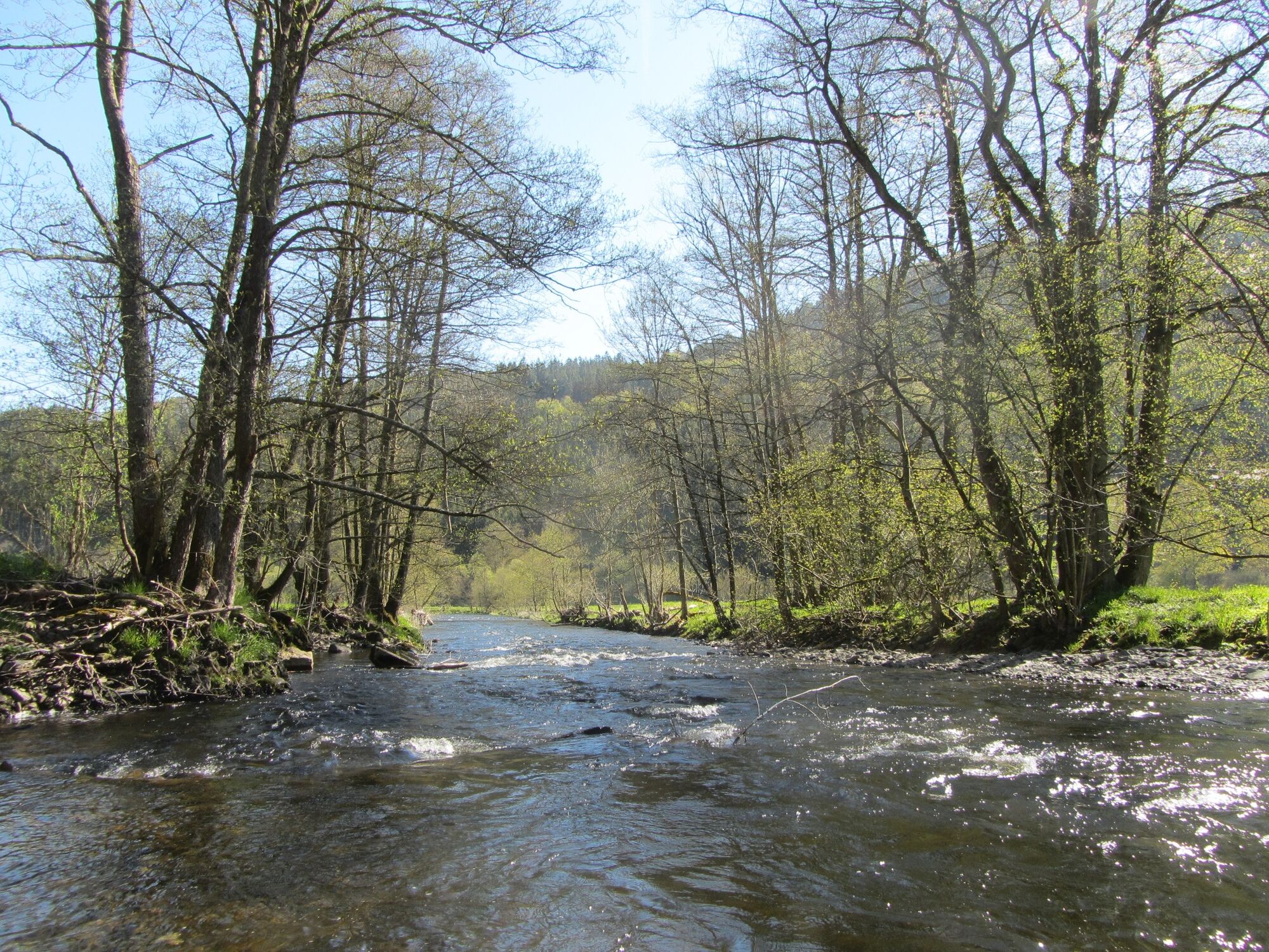
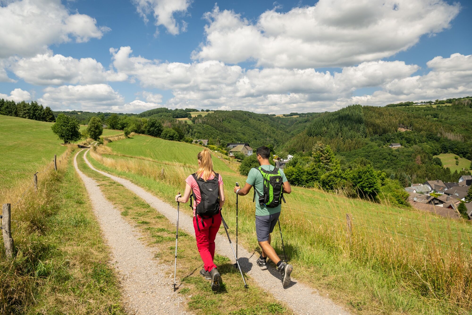
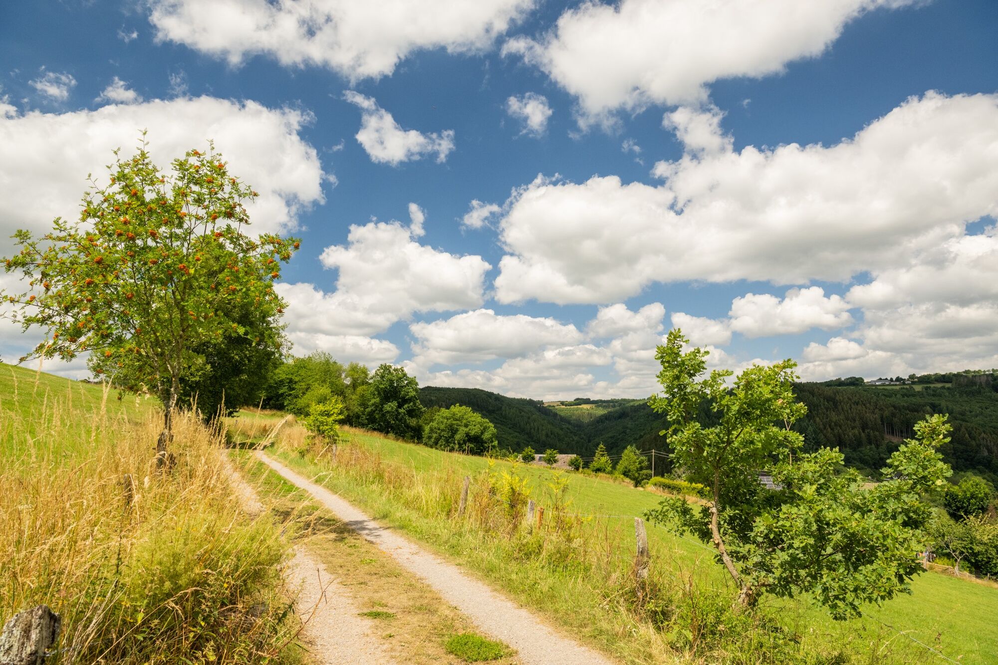
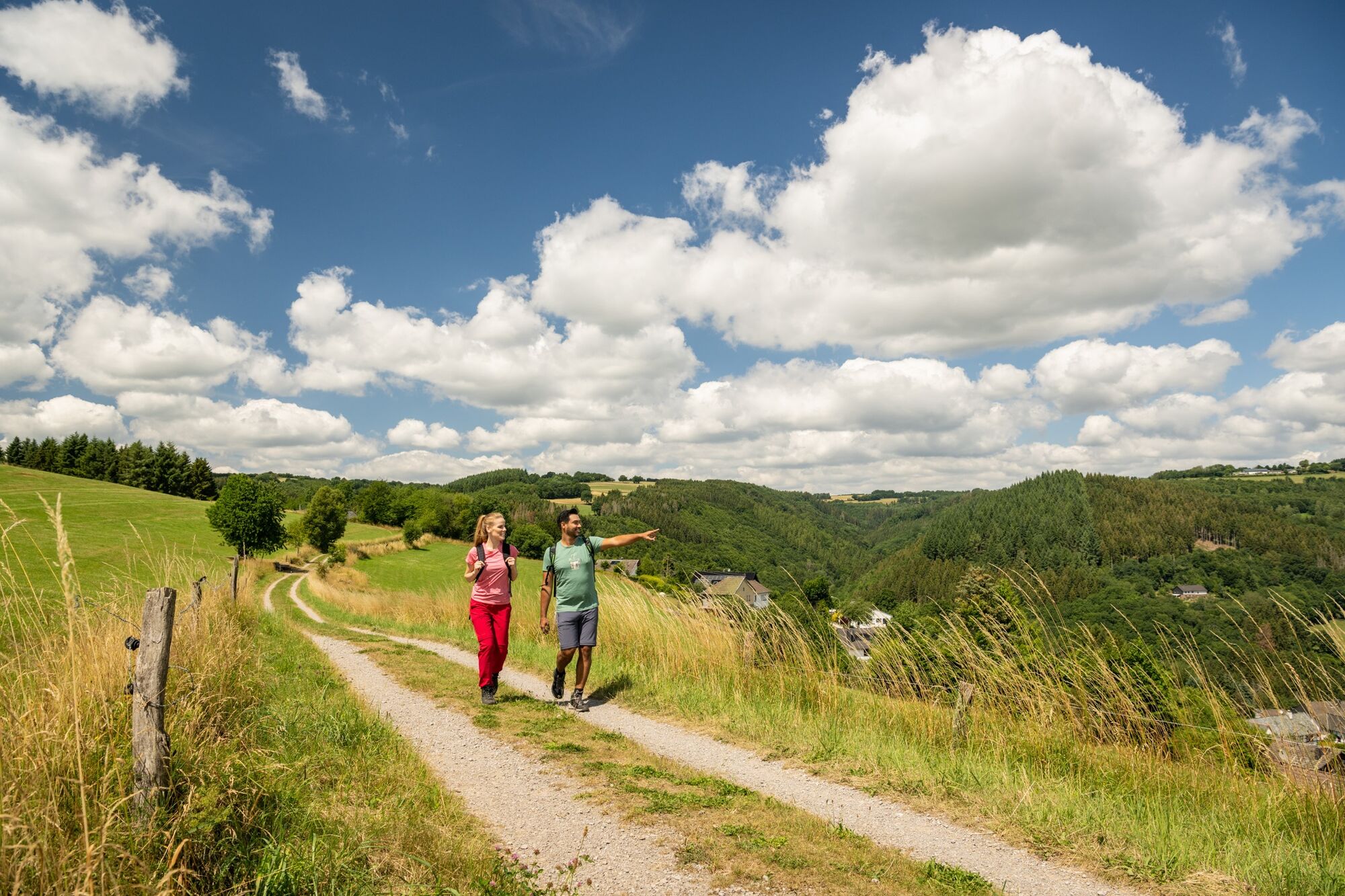
The Heckenlandroute leads you through varied green landscapes, both up and down. Walk in the valley along the Rur or enjoy the view of the Rur valley from high above. Pure nature through the mixed forests of the Eifel.
- Difficulté
-
moyen
- Évaluation
-
- Parcours
-
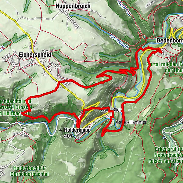
Am Rott0,5 kmIm Hölz0,9 kmIm Hölz1,1 kmBrommicher Auel4,0 kmDedenborn4,9 kmIn der Rinne6,9 kmHammer9,1 kmFinkenberg10,7 kmUhusley (375 m)11,7 kmUhusley12,0 kmStoltzenley12,1 kmWeimert13,7 kmMathaisheck13,9 kmAm Vordersten Fingert14,1 kmAm Loschberg14,1 km
- Meilleure saison
-
janv.févr.marsavrilmaijuinjuil.aoûtsept.oct.nov.déc.
- Hauteur maximale
- 545 m
- Point de mire
-
Eicherscheid (crossing L106/Rott; at the end of Rott residential road)
- Profil en hauteur
-
 © outdooractive.com

- Auteur
-
La randonnée Partner path of the Eifelsteig - Heckenland route est utilisé par outdooractive.com fourni par.
GPS Downloads


Informations générales
Point de rassemblement
Flore
Prometteur
Autres parcours dans les régions
-
Eifel & Aachen
1422
-
Nordeifel
834
-
Simmerath-Rurberg
446