© Wiener Alpen/Christian Kremsl - Katrin Zeleny
- Brève description
-
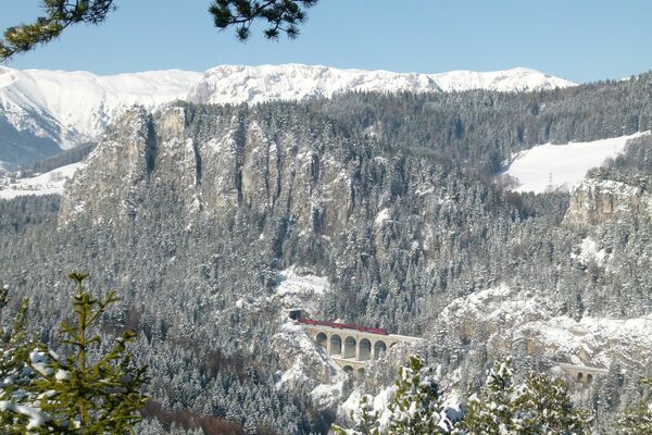
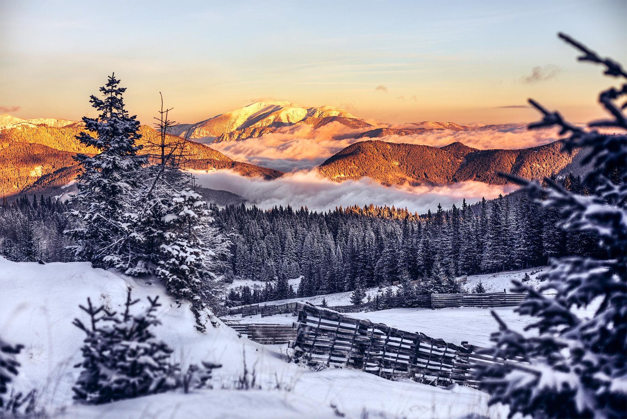
Small circuit around the village via Unternberg, a district of St. Corona, which is accessible throughout the year and is a captivating winter landscape.
- Difficulté
-
facile
- Évaluation
-
- Parcours
-
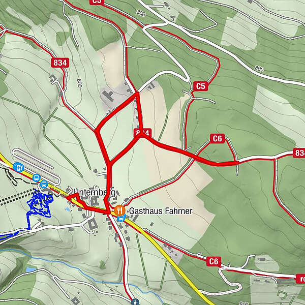
Unternberg0,1 kmGasthaus Fahrner0,2 km
- Meilleure saison
-
aoûtsept.oct.nov.déc.janv.févr.marsavrilmaijuinjuil.
- Hauteur maximale
- 872 m
- Point de mire
-
Unternberg (family ski area)
- Profil en hauteur
-

- Auteur
-
La randonnée Winter walk: Unternberg (St. Corona) est utilisé par outdooractive.com fourni par.
GPS Downloads


Informations générales
Point de rassemblement
Prometteur
Autres parcours dans les régions