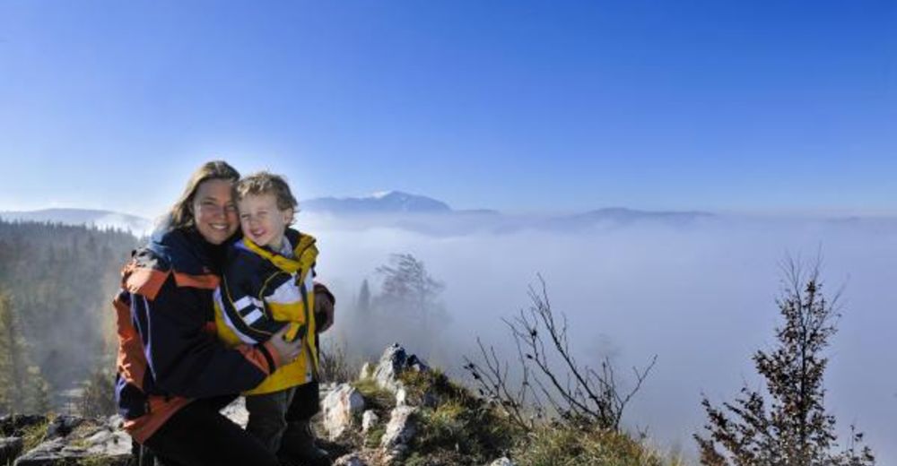
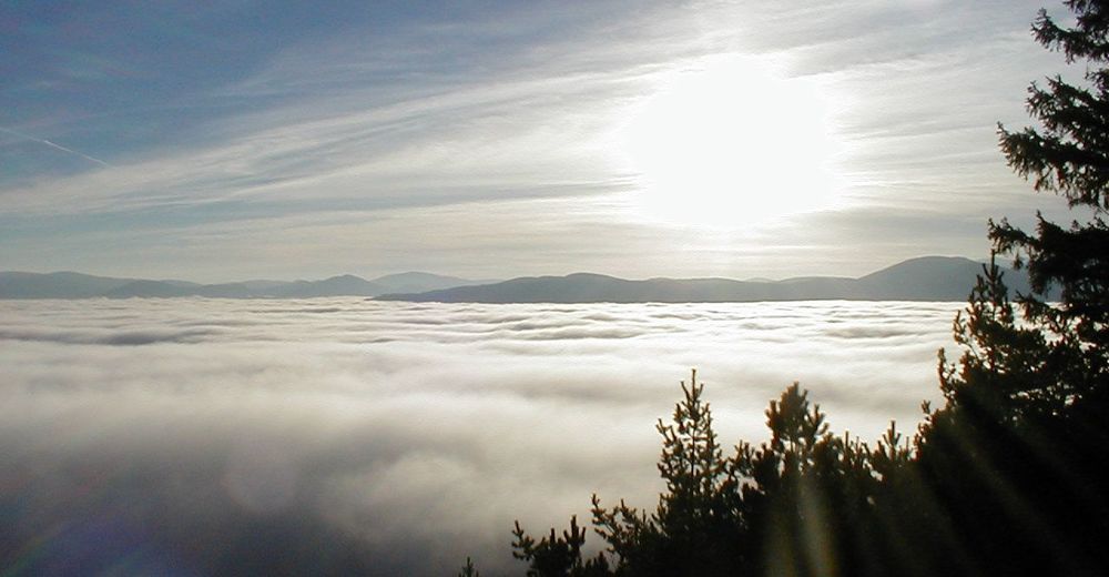
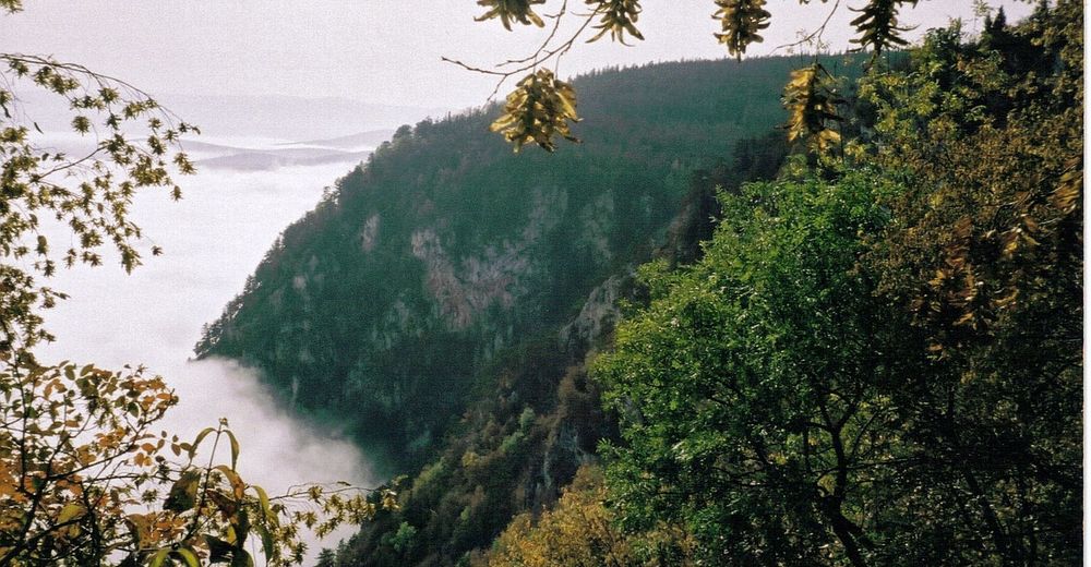
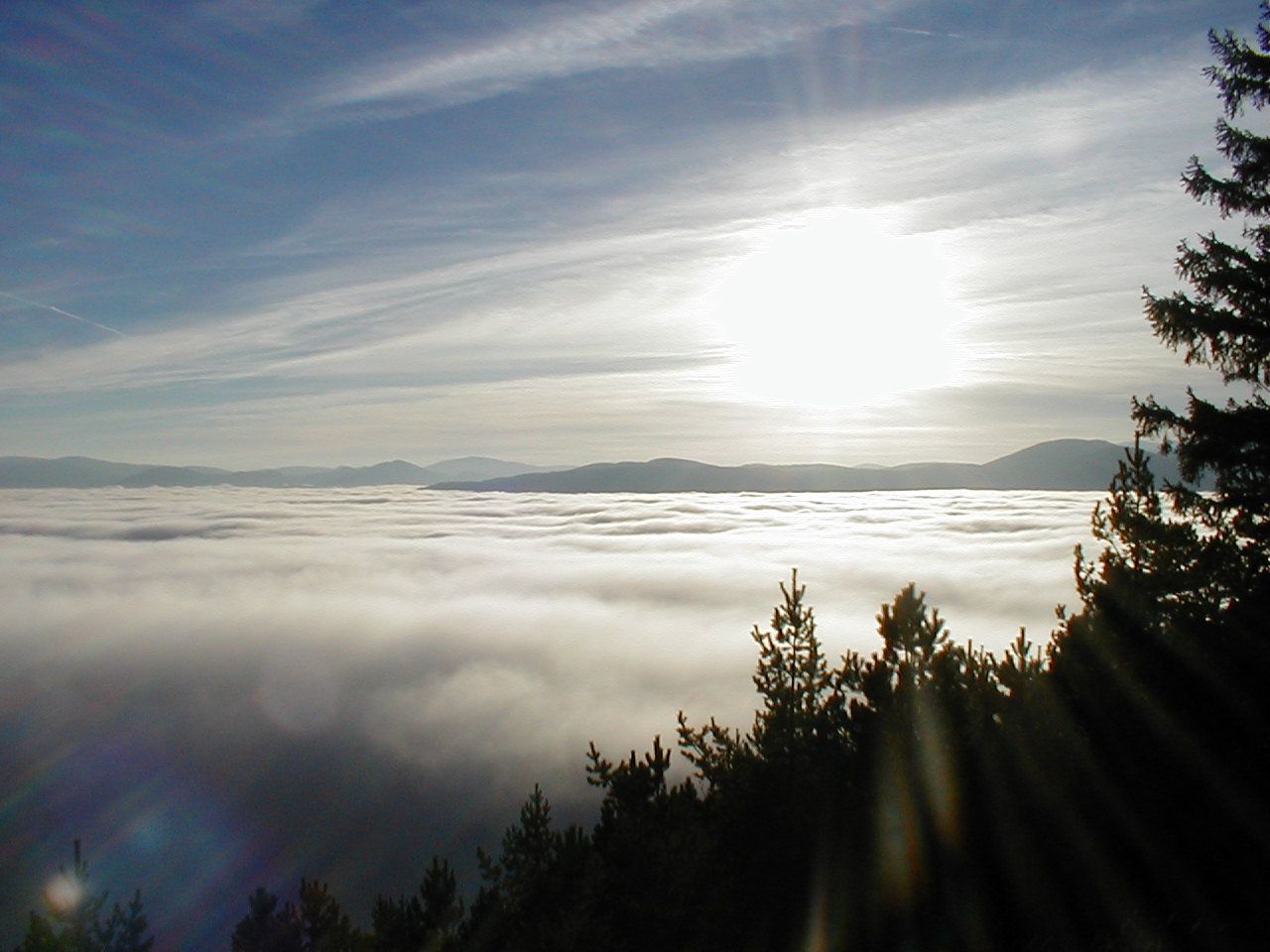
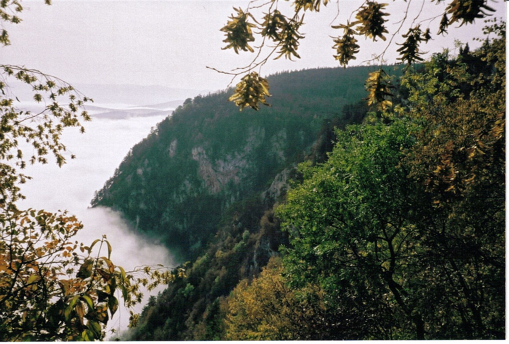
Hohe Wand Nature Park – hiking above the clouds

Randonnée d'hiver
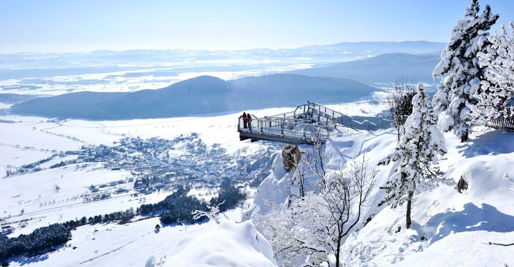
© Wiener Alpen in Niederösterreich - Schneeberg Hohe Wand - Katrin Zeleny
© ©NÖ Naturparke - Naturpark Hohe Wand
© ©Naturpark Hohe Wand - Naturpark Hohe Wand
© ©Naturpark Hohe Wand - Naturpark Hohe Wand
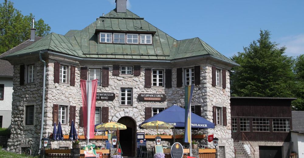
© ©Naturparkstüberl, Foto Wolfgang Berndorfer
Dates des itinéraires
6,72km
876
- 1.038m
192hm
198hm
02:00h

- Brève description
-
A circular route through the Hohe Wand Nature Park, which is home to a petting zoo, an observation tower, and a skywalk and panorama terrace. An ideal destination for families!
NOTE: Please be aware that this winter walk may not be completely maintained in snowy conditions and can have patches of ice. Use at your own risk! Please equip yourself appropriately, such as with sturdy shoes, sticks, waterproof outdoor clothing, hat, etc. Make sure you have enough to drink in winter too! Be aware of it getting dark early and carefully plan your route!
- Difficulté
-
facile
- Évaluation
-
- Parcours
-
Gasthof Luf1,8 kmThomasschacht1,9 kmHochkogelhaus1,9 kmHochkogel (966 m)2,4 kmBrombergdoline4,3 km
- Meilleure saison
-
aoûtsept.oct.nov.déc.janv.févr.marsavrilmaijuinjuil.
- Hauteur maximale
- 1.038 m
- Point de mire
-
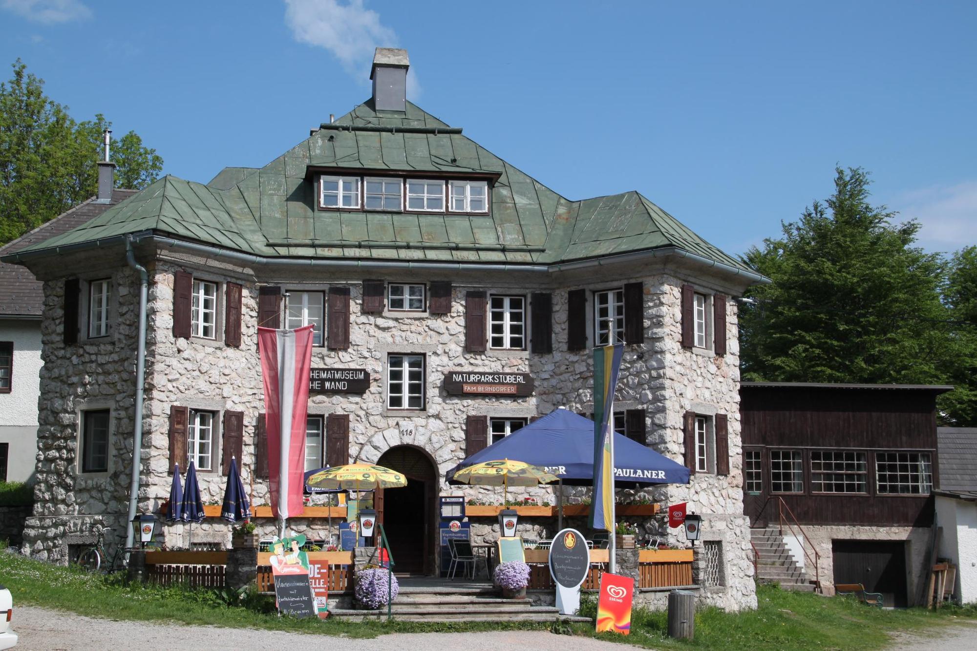
Gasthof Postl, Hohe Wand
- Profil en hauteur
-


- Auteur
-
La randonnée Hohe Wand Nature Park – hiking above the clouds est utilisé par outdooractive.com fourni par.
GPS Downloads


Informations générales
Point de rassemblement
Faune
Prometteur
Autres parcours dans les régions