ZWalk - Wurmbrand - Zwischen Geiß- und Reutberg

Randonnée d'hiver
© ZWalk.at
© ZWalk.at
© ZWalk.at
Dates des itinéraires
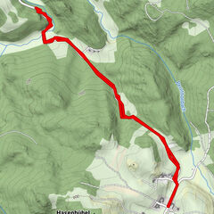
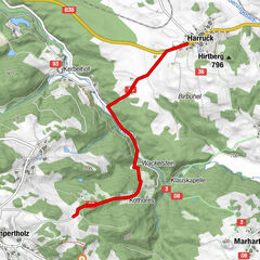
5,6km
643
- 722m
53hm
01:30h

- Brève description
-
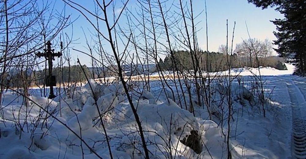
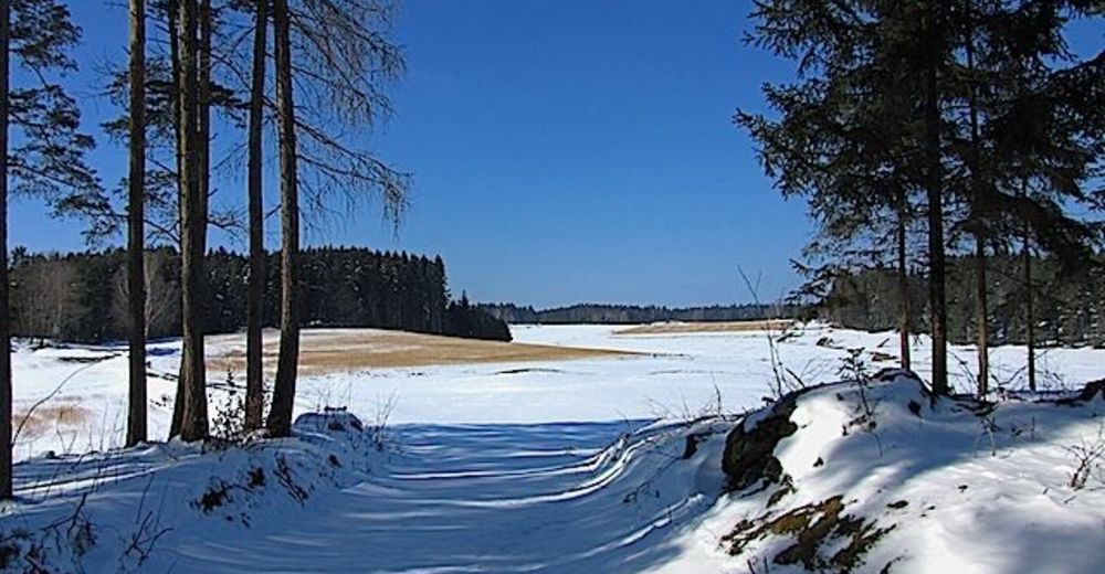
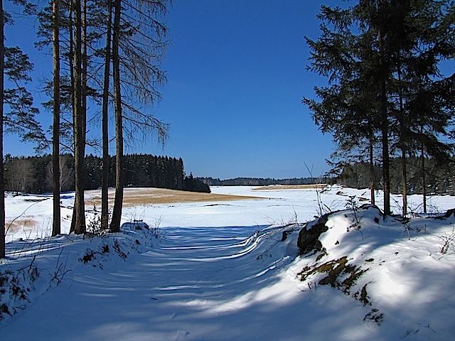
Die Tour führt durch eine typische, leicht hügelige Waldviertler Landschaft. Es geht durch Felder, Wiesen und Wälder, die sich ständig abwechseln.
- Difficulté
-
facile
- Évaluation
-
- Point de départ
-
Wurmbrand
- Parcours
-
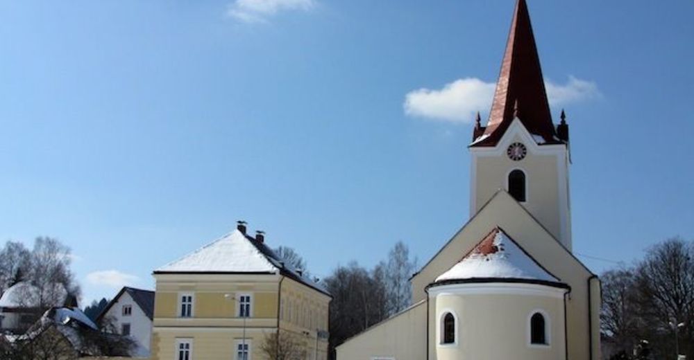
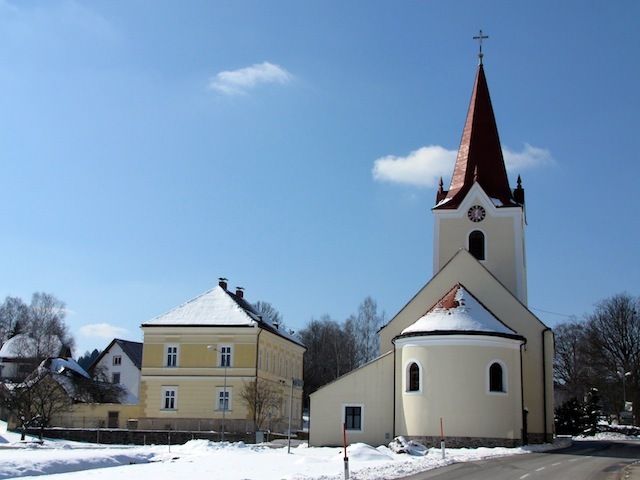
Gasthaus Maringer-SchramlWurmbrandZeil0,8 kmSitzmanns2,9 kmBöhmsdorferfeld4,6 kmWurmbrand5,1 kmPfarrkirche hl. Pankratius5,4 kmGasthaus Maringer-Schraml5,5 km
- Hauteur maximale
- 722 m

- Source
- ZWalk
GPS Downloads


Autres parcours dans les régions
-
Waldviertel
28
-
Oberes Waldviertel
10
-
Groß Gerungs
11