Dates des itinéraires
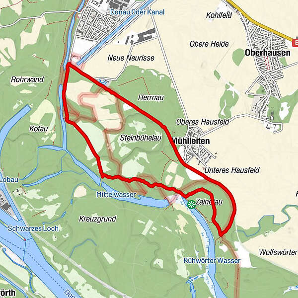
9,49km
151
- 157m
19hm
17hm
01:41h
- Brève description
-
1:30 Stunden, leichte Wanderung
- Difficulté
-
facile
- Évaluation
-
- Parcours
-
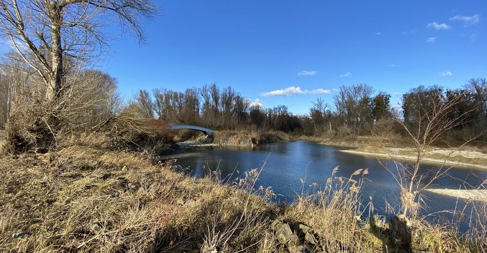
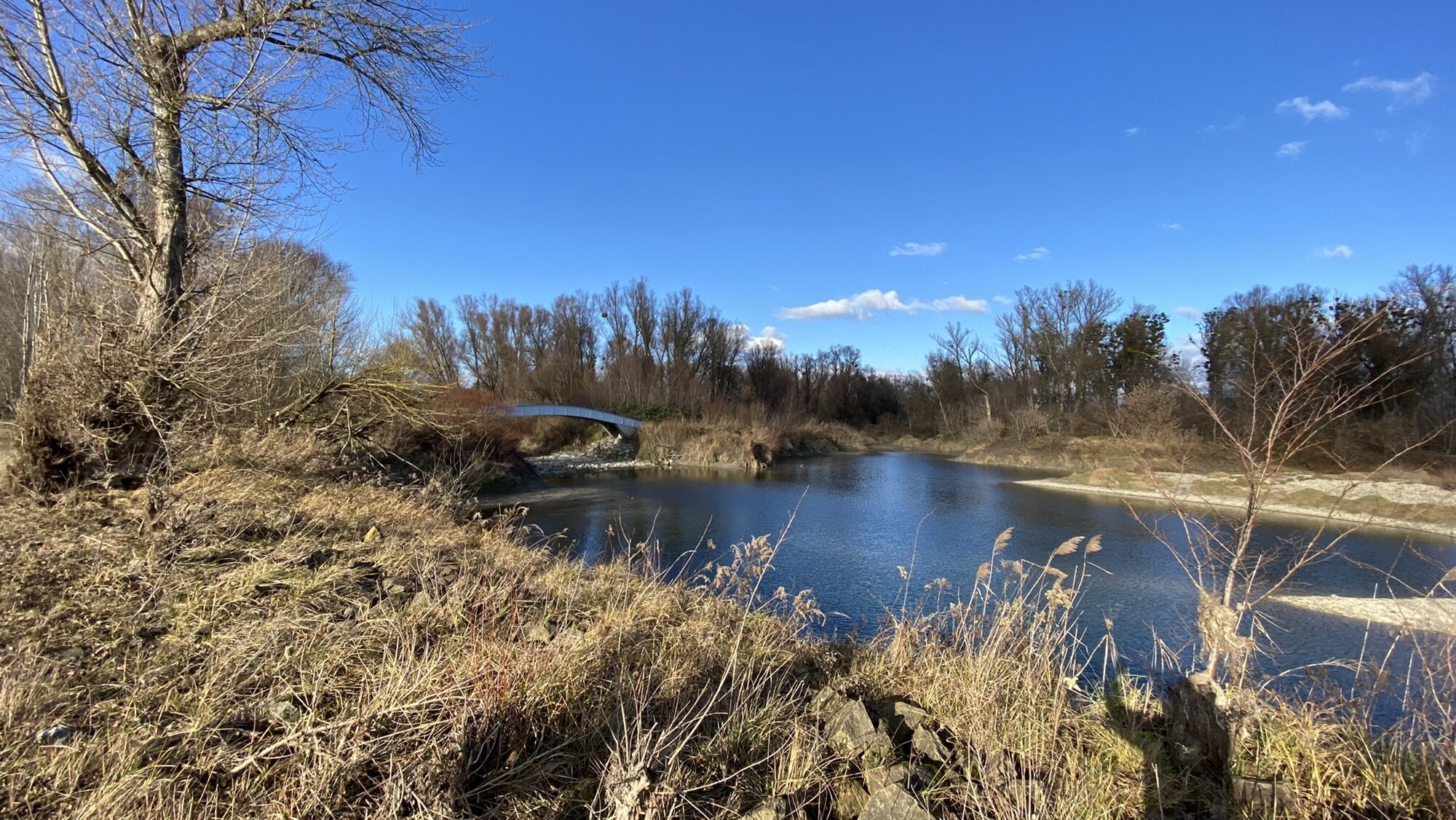
Uferhaus Staudigl0,0 kmBrustfleck0,7 kmKauf Au3,4 kmMühlleiten6,9 kmUferhaus Staudigl9,3 km
- Hauteur maximale
- 157 m
GPS Downloads


Autres parcours dans les régions
-
Wienerwald
4210
-
Römerland Carnuntum - Marchfeld
650
-
Groß-Enzersdorf
220